The best running trails in Naturschutzgebiet - Teil Der Steirischen Nockberge
3.9
(12)
564
runners
28
runs
Jogging in Naturschutzgebiet - Teil Der Steirischen Nockberge offers routes through a unique landscape characterized by rounded, grass-covered peaks known as "Nocken." The region features gentle topography, making it suitable for extended outdoor activities, and includes diverse subalpine spruce, larch, and Swiss stone pine forests. Extensive alpine pastures and meadows provide open spaces with wide vistas, while picturesque elements like the Windebensee lake add to the scenic beauty. This UNESCO Biosphere Reserve provides an extensive network of paths for various…
Last updated: July 9, 2026
4.5
(4)
143
runners
7.78km
00:54
150m
150m
Moderate run. Good fitness required. Mostly paved surfaces. Suitable for all skill levels.
4
runners
8.67km
01:09
390m
400m
Hard run. Very good fitness required. Sure-footedness, sturdy shoes and alpine experience required.

Sign up for free
3.0
(1)
92
runners
7.09km
00:47
130m
130m
Moderate run. Good fitness required. Mostly paved surfaces. Suitable for all skill levels.
4.0
(1)
25
runners
11.0km
01:17
320m
320m
Hard run. Very good fitness required. Mostly paved surfaces. Suitable for all skill levels.
17
runners
5.69km
00:55
390m
390m
Hard run. Very good fitness required. Mostly paved surfaces. Suitable for all skill levels.
Get access to more routes and recommendations from other explorers.
Sign up for free
Already have an account?
Our route recommendations are based on thousands of hikes, rides, and runs completed by other people on komoot.
Start today with a free account
Your next adventure awaits.
Login or Signup
Popular around Naturschutzgebiet - Teil Der Steirischen Nockberge
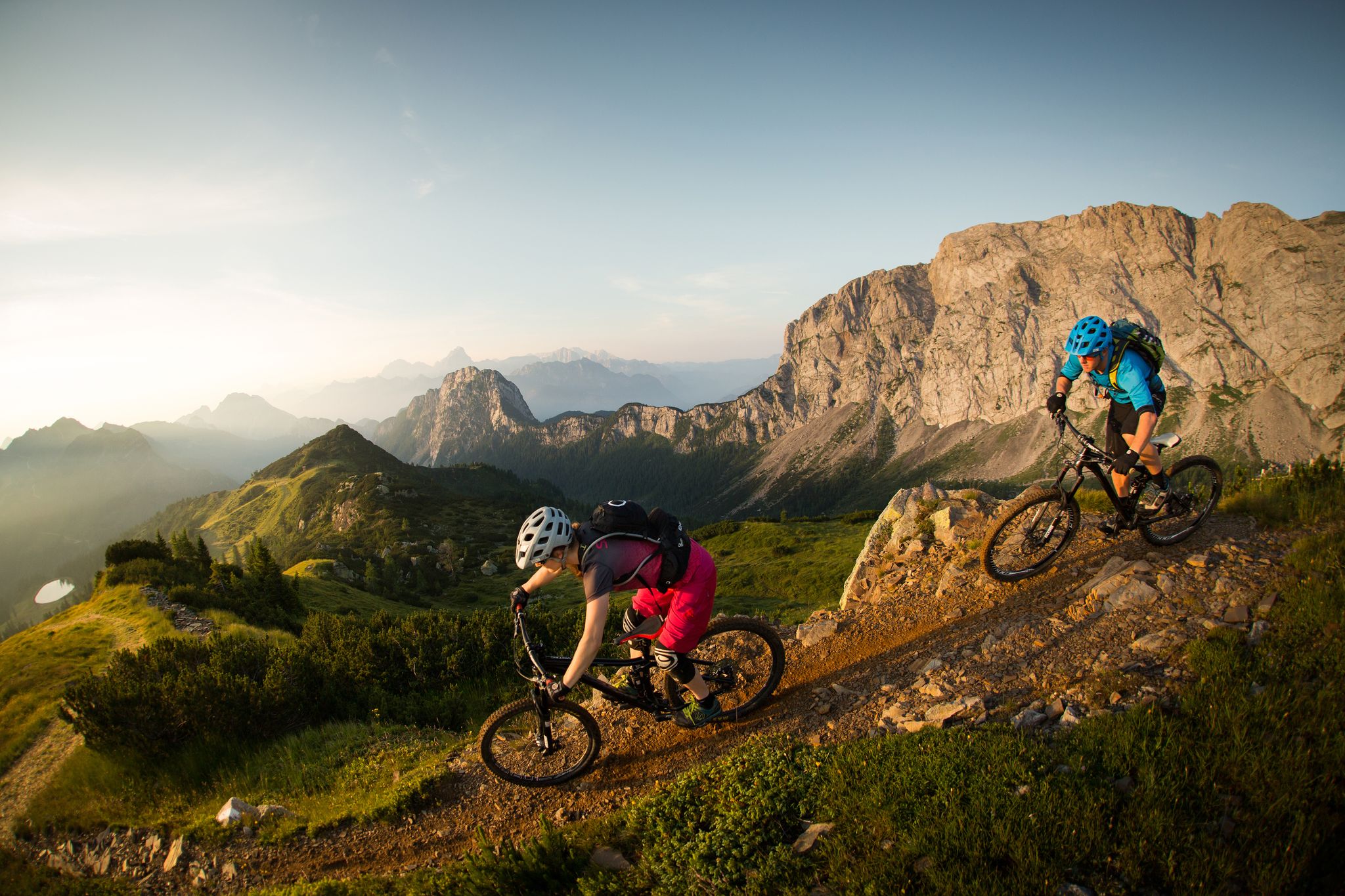
Flow as an attitude to life – 5 Flow Trails Carinthia in south Austria
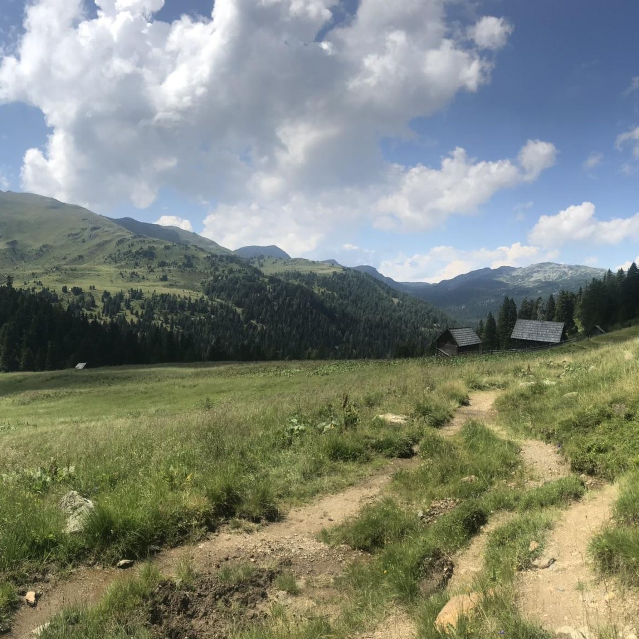
Hiking in Naturschutzgebiet - Teil Der Steirischen Nockberge
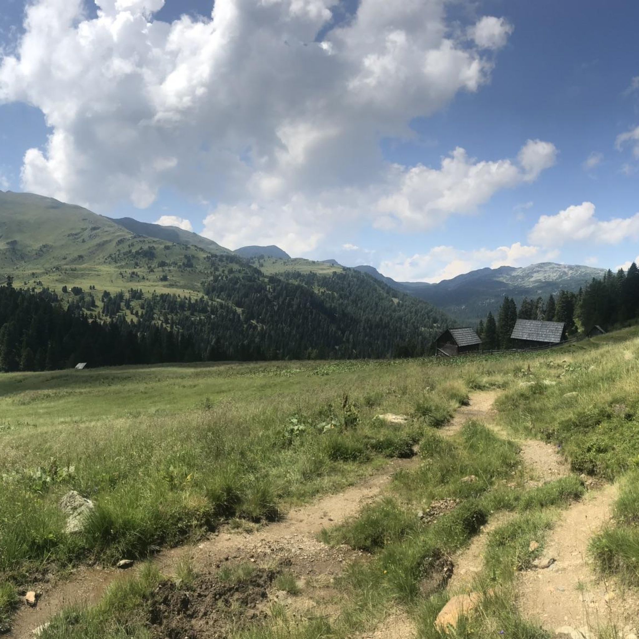
MTB Trails in Naturschutzgebiet - Teil Der Steirischen Nockberge
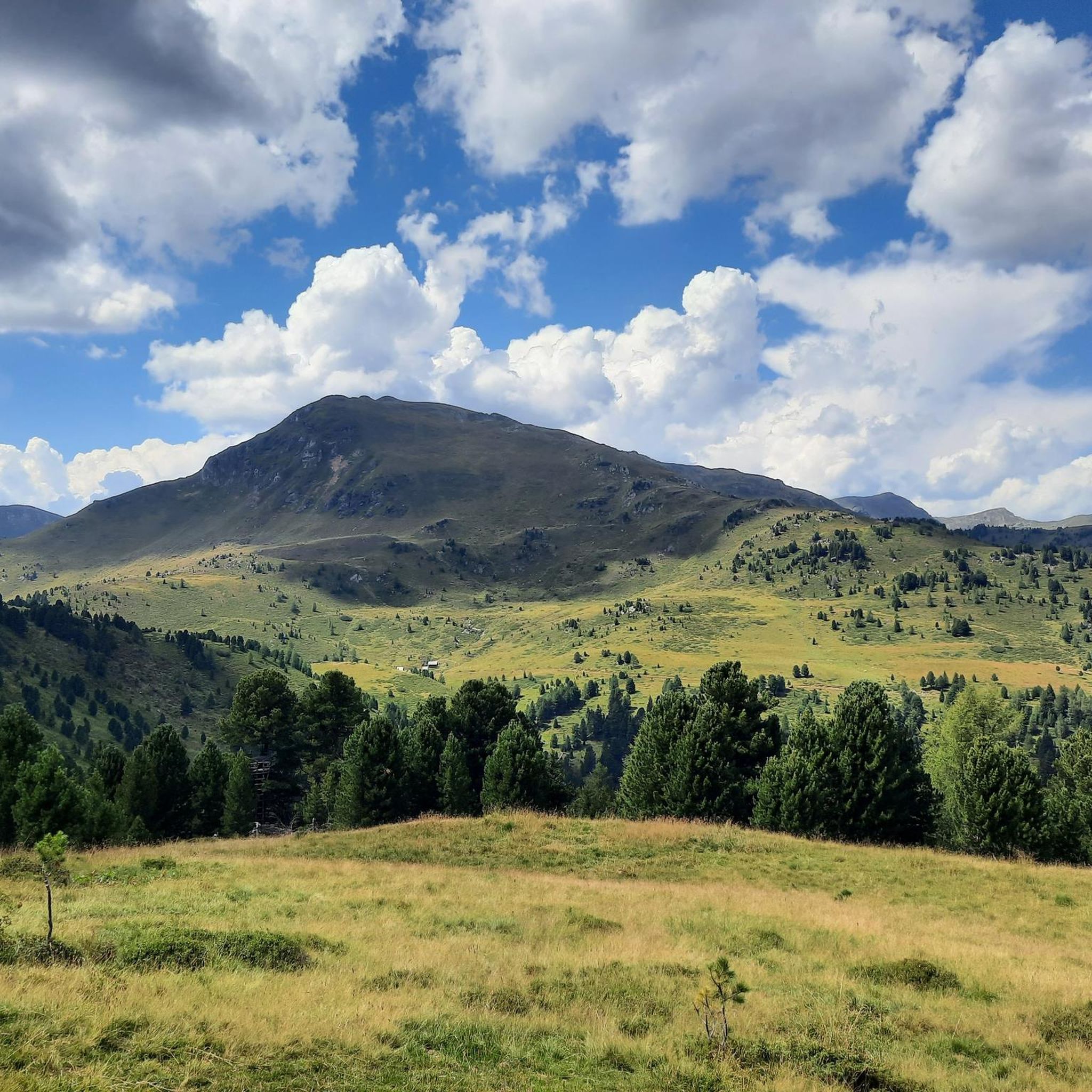
Road Cycling Routes in Naturschutzgebiet - Teil Der Steirischen Nockberge
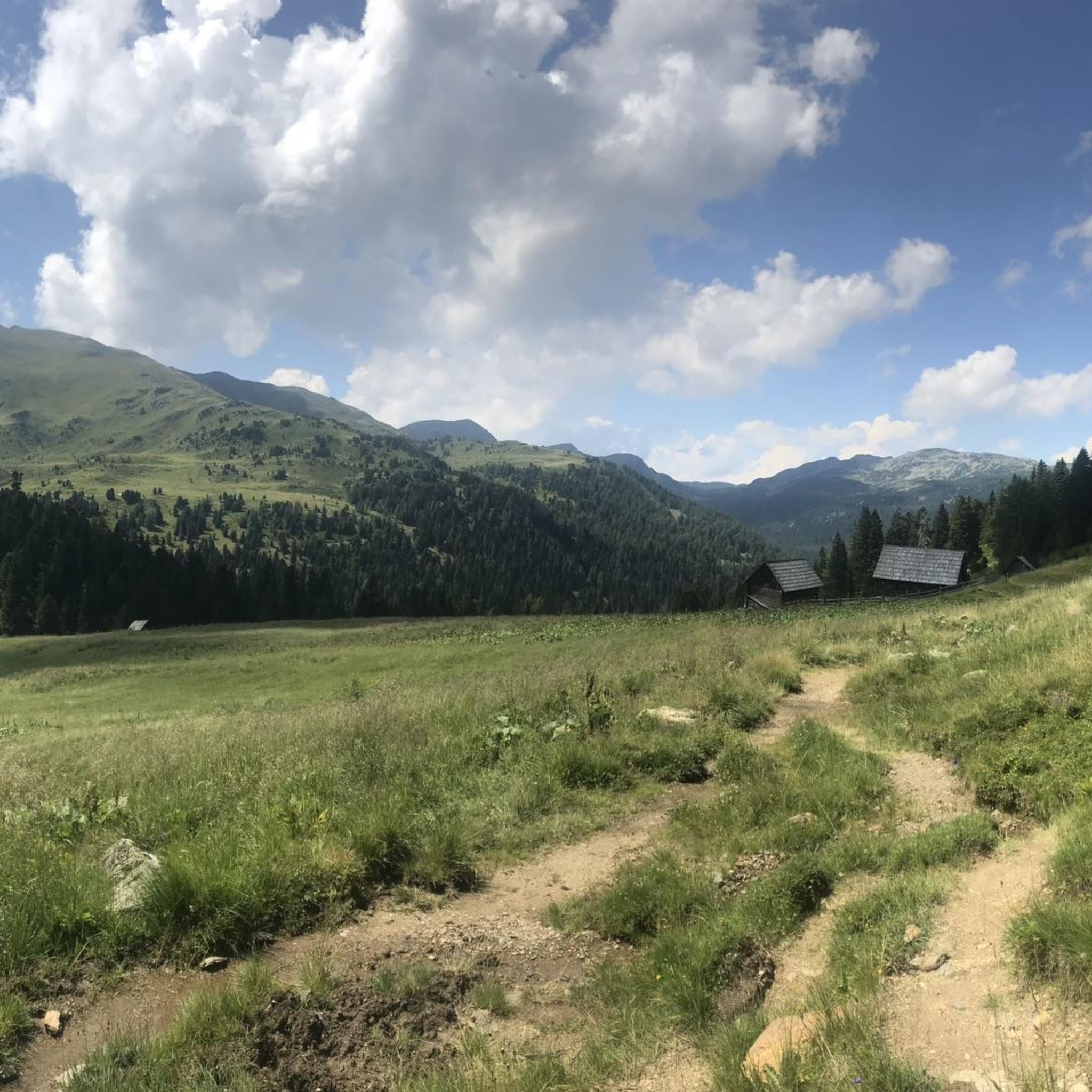
Cycling in Naturschutzgebiet - Teil Der Steirischen Nockberge
Mountain Hikes in Naturschutzgebiet - Teil Der Steirischen Nockberge
Other adventures in Naturschutzgebiet - Teil Der Steirischen Nockberge

Tips from the Community

The Schoberriegel is a 2,208 m (7,208 ft) high mountain located on the border of the municipalities of Reichenau and Albeck on the Turracher Höhe in the Gurktal Alps. The western and eastern flanks are steep and rocky. A gently sloping ridge leads to the summit from the north. To the south, the ridge leads to the summit of the Gruft. It is a popular hiking mountain due to its beautiful views of the Nockberge Mountains and the Turracher Höhe. A summit cross with a summit register is located at the summit.
1
0

This is a wonderful place to unwind. Before breakfast or after dinner, you're practically alone.
2
0
Probably the best view over the Turracher Höhe with Lake Turrach.
2
0
A fantastic trail on the way to the summit of Schoberriegel. Very easy to walk. Just enjoy!
2
0
Done. Refill fluids, sign the summit log, and back down
2
0
Again and again the lupins decorate the path up to the summit
2
0
Frequently Asked Questions
What kind of terrain can I expect when running in Naturschutzgebiet - Teil Der Steirischen Nockberge?
The region is characterized by its unique "Nocken" – rounded, grass-covered peaks that offer a gentle topography compared to more rugged alpine areas. You'll find diverse subalpine spruce, larch, and Swiss stone pine forests, as well as extensive alpine pastures and meadows, providing varied and scenic running surfaces. The trails range from easy paths to more challenging routes with significant elevation changes.
Are there any easy or beginner-friendly running routes in the Nockberge region?
Yes, the Naturschutzgebiet - Teil Der Steirischen Nockberge offers several easier running options. For instance, the area around Turracher See provides more gentle paths. Overall, there are 3 easy routes and 7 moderate routes available, making it accessible for various fitness levels. The Turracher See – Turracher See loop from Turracher Höhe is a moderate 4.4-mile (7.1 km) trail that is often completed in about 47 minutes.
What are some scenic viewpoints or natural features I can discover while jogging?
The Nockberge region is rich in natural beauty. You can enjoy wide vistas from alpine pastures and meadows, and picturesque elements like the Windebensee lake. Notable peaks such as the Rinsennock Summit (2,334 m) and Königstuhl Summit offer impressive panoramic views across Carinthia, Styria, and Salzburg. The Kornock also provides 360-degree vistas.
Are there any circular running routes available?
Yes, many of the running routes in the Naturschutzgebiet - Teil Der Steirischen Nockberge are designed as loops, offering convenient circular experiences. Examples include the popular Hochmoor Trail – View of the Grünsee loop from Turracher Höhe and the challenging Kornock – Turrach Lake loop from Turracher Höhe.
Can I bring my dog on the running trails in this nature reserve?
While the region is generally welcoming to outdoor enthusiasts, specific regulations for dogs on trails within the Naturschutzgebiet - Teil Der Steirischen Nockberge (a UNESCO Biosphere Reserve) can vary. It's always best to check local signage or official park guidelines regarding leash requirements and restricted areas to ensure a pleasant experience for everyone and to protect the diverse wildlife.
What is the best time of year for running in Naturschutzgebiet - Teil Der Steirischen Nockberge?
The Nockberge region is ideal for outdoor activities during the warmer months, typically from late spring to early autumn. During this time, the alpine pastures are lush, and the trails are clear of snow, offering the best conditions for running. The diverse forests also provide shaded routes, which can be pleasant on warmer days. Winter conditions would require specialized gear and awareness of snow and ice.
Are there places to stop for refreshments or breaks along the running routes?
Yes, the area is known for its numerous huts and refreshment stops ("Hütten und Einkehrstätten") located along many of the routes. These provide excellent opportunities for breaks, to refuel, and to enjoy local hospitality amidst the stunning natural scenery.
How challenging are the running routes in the Nockberge region?
The routes in Naturschutzgebiet - Teil Der Steirischen Nockberge cater to a range of abilities. While the "Nocken" offer gentle topography, there are also routes with significant elevation gain. The guide features 3 easy routes, 7 moderate routes, and 23 difficult routes, ensuring options for both leisurely jogs and more demanding trail runs. For example, the Ridge Trail to Schoberriegel – Schoberriegel Summit (2,208 m) loop from Turracher Höhe is a difficult 9.8 km route with nearly 500m of elevation gain.
What do other runners think about the trails in Naturschutzgebiet - Teil Der Steirischen Nockberge?
The running routes in Naturschutzgebiet - Teil Der Steirischen Nockberge are highly rated by the komoot community, with an average score of 4.1 stars from more than 10 reviews. Over 500 runners have explored the varied terrain, often praising the unique landscape of rounded peaks, diverse forests, and expansive alpine pastures that define the running experience here.
Are there any specific attractions or landmarks near the running trails?
Beyond the natural beauty, you can find several interesting landmarks. The Rinsennock Summit (2,334 m) and Großer Königsstuhl (2,336 m) are prominent peaks offering incredible views. The Fascinating mountain panorama highlight is also a popular viewpoint. These can be integrated into longer runs or visited as separate points of interest.
Is the Nockalmstraße relevant for accessing running routes?
The Nockalmstraße is a scenic mountain road that is carefully integrated into the landscape. While primarily a road, it serves as a convenient access point to many trailheads and viewpoints within the park, making it useful for reaching various starting points for your running adventures.
Are there any guided tours available for runners who want to learn more about the region?
For those interested in a deeper understanding of the natural environment, ranger-led tours with Biosphere Park rangers are available. These tours offer valuable insights into the unique flora, fauna, and local traditions of the Nockberge, which can enhance your running experience by providing context to the landscapes you traverse.
Most popular routes in Naturschutzgebiet - Teil Der Steirischen Nockberge
Most popular attractions in Naturschutzgebiet - Teil Der Steirischen Nockberge

Get inspired with the komoot mobile app


Explore more
Browse the best Running Trails & Routes in other regions.
