The best road cycling routes in West- U. Ostabhänge Des Zirbitzkogels
4.6
(21)
541
riders
13
rides
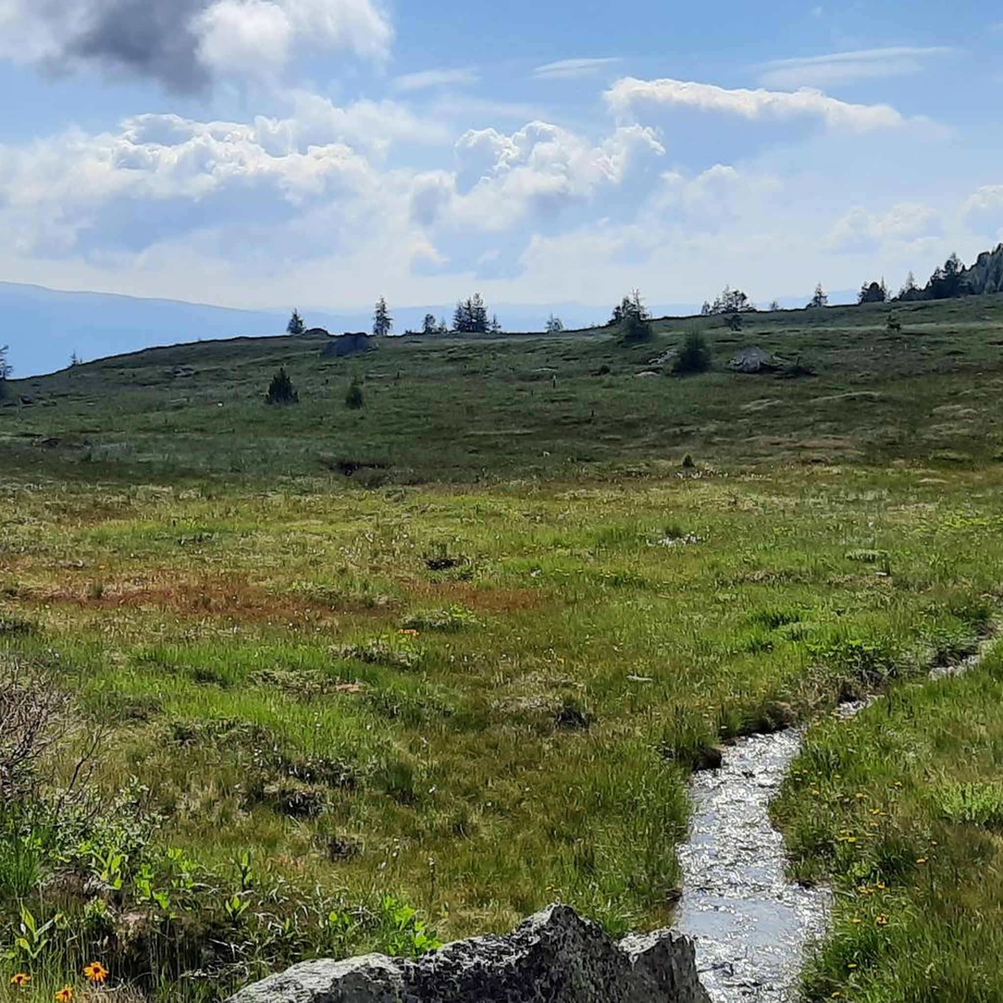
Road cycling routes in West- U. Ostabhänge Des Zirbitzkogels traverse a landscape shaped by past ice ages, featuring wide plateaus, gentle hills, and smaller valleys. The region lies between the Zirbitzkogel mountain (2,396 m) and the Grebenzen mountain (1,892 m), providing varied terrain for cyclists. Cyclists can expect routes that wind through natural mountain forests, past pristine waterways, and offer views of alpine meadows. The area's diverse topography includes both challenging climbs and more leisurely sections.
Best road cycling routes…
Last updated: July 9, 2026
9
riders
68.4km
03:56
1,580m
1,580m
Hard road ride. Very good fitness required. Mostly well-paved surfaces and easy to ride.
6
riders
107km
05:27
1,200m
1,200m
Hard road ride. Very good fitness required. Some segments of this route may be unpaved and difficult to ride.

Sign up for free
3.5
(2)
53
riders
77.6km
03:59
1,000m
1,000m
Hard road ride. Very good fitness required. Some segments of this route may be unpaved and difficult to ride.
5.0
(1)
39
riders
52.3km
02:14
310m
320m
Moderate road ride. Good fitness required. Mostly well-paved surfaces and easy to ride.
5.0
(1)
31
riders
39.6km
01:43
280m
280m
Easy road ride. Great for any fitness level. Mostly well-paved surfaces and easy to ride.
Get access to more routes and recommendations from other explorers.
Sign up for free
Already have an account?
Our route recommendations are based on thousands of hikes, rides, and runs completed by other people on komoot.
Start today with a free account
Your next adventure awaits.
Login or Signup
Popular around West- U. Ostabhänge Des Zirbitzkogels
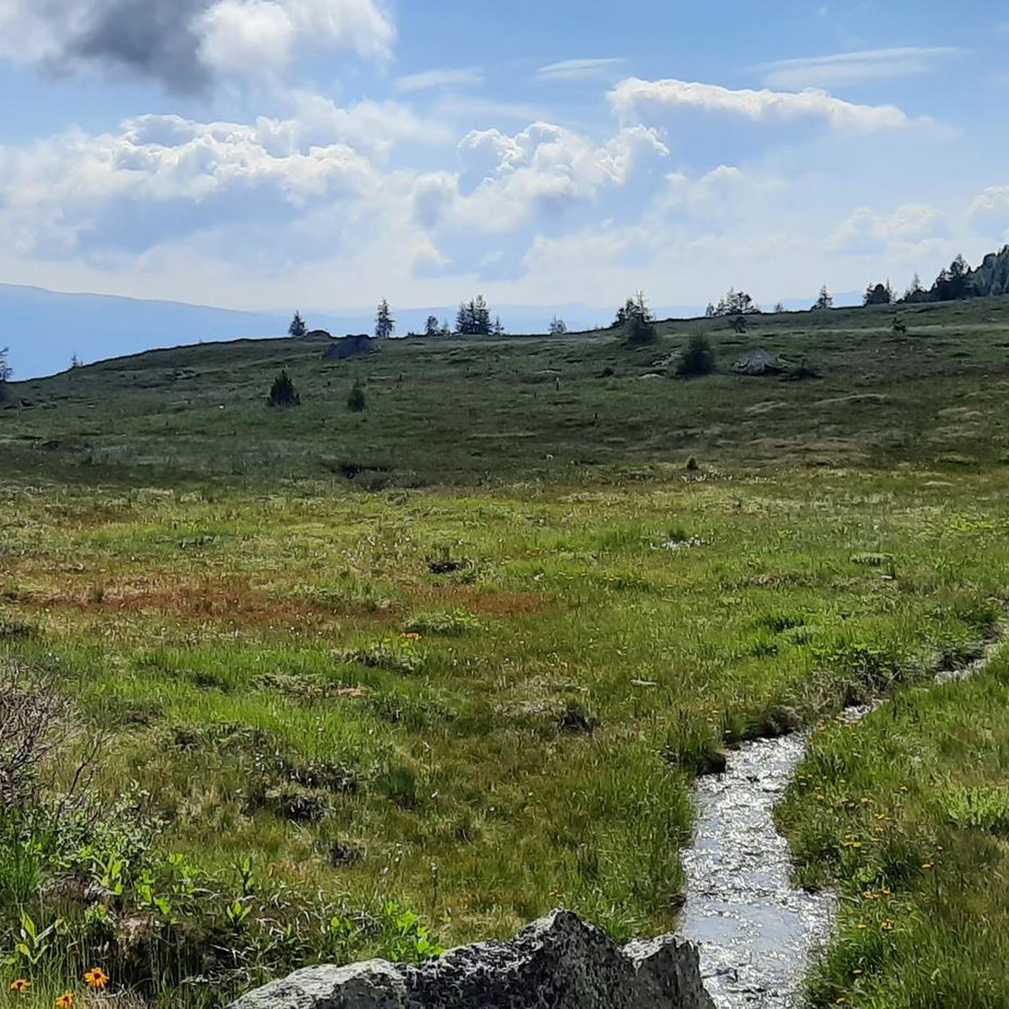
Hiking in West- U. Ostabhänge Des Zirbitzkogels
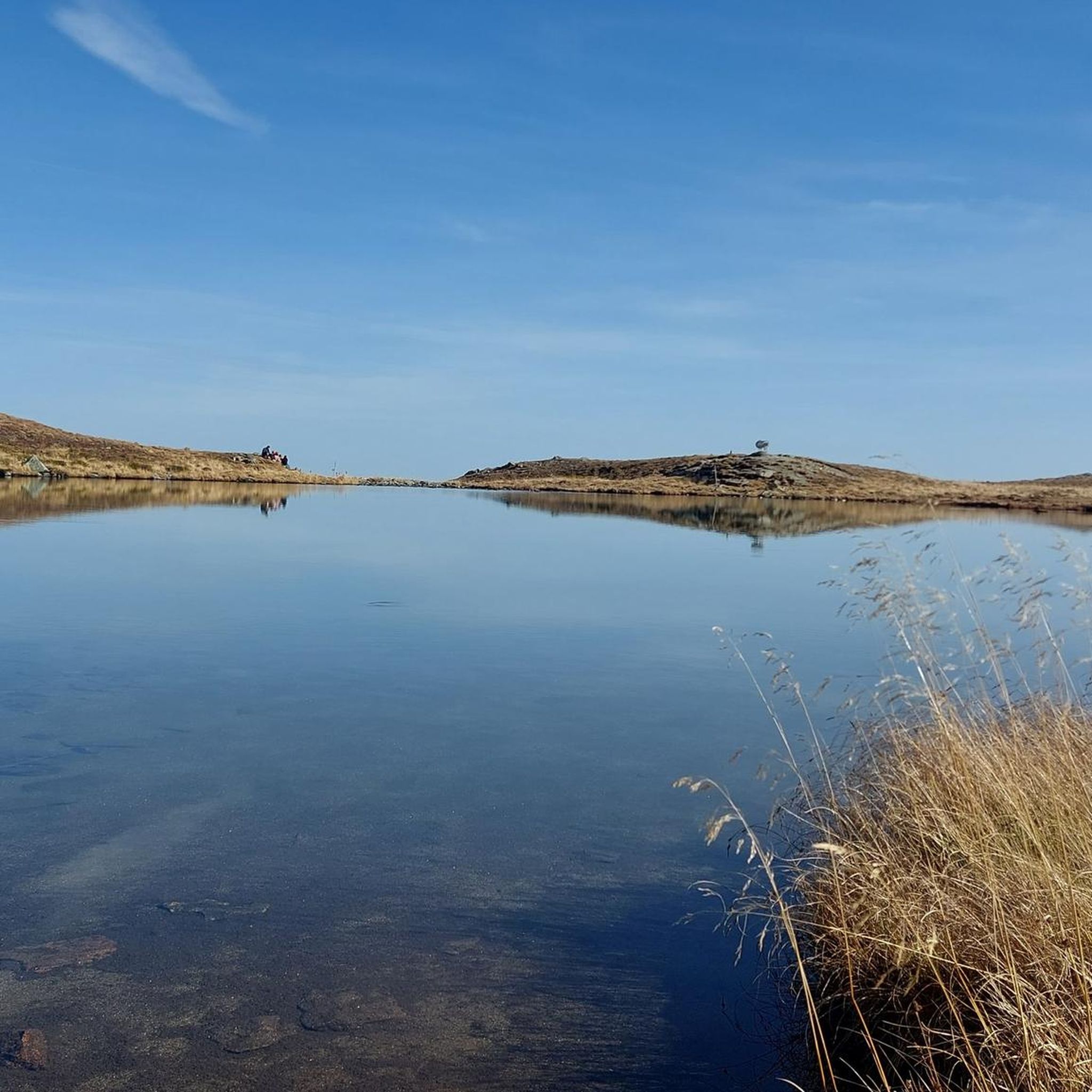
Cycling in West- U. Ostabhänge Des Zirbitzkogels
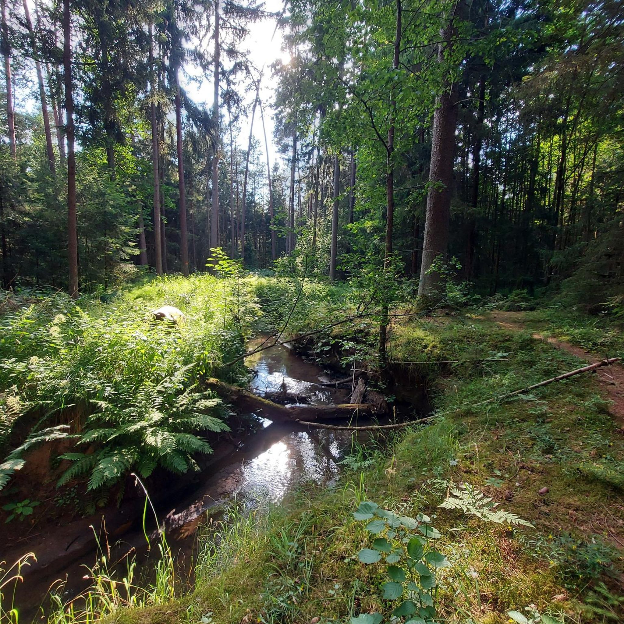
Mountain Hikes in West- U. Ostabhänge Des Zirbitzkogels
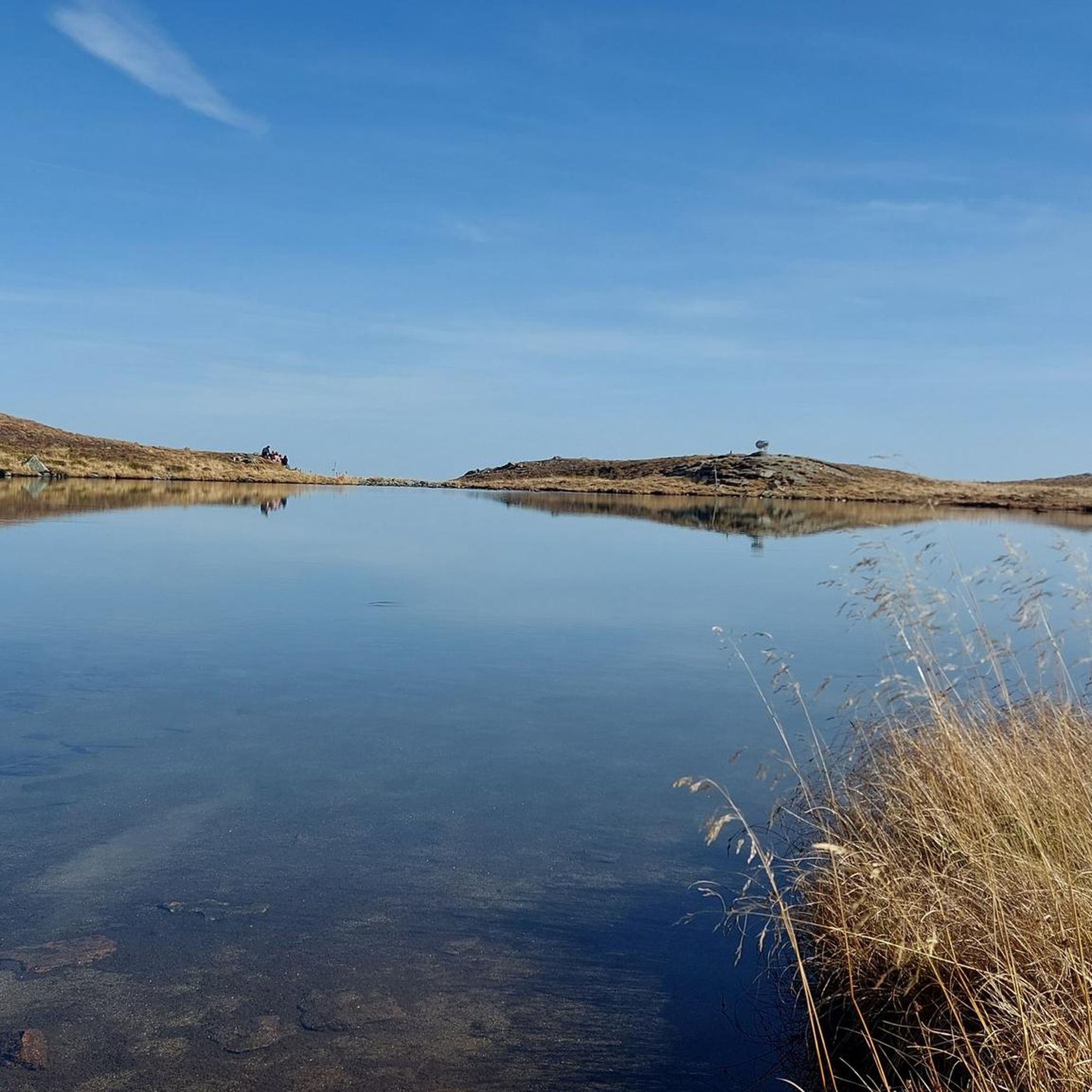
MTB Trails in West- U. Ostabhänge Des Zirbitzkogels
Running Trails in West- U. Ostabhänge Des Zirbitzkogels

Gravel biking in West- U. Ostabhänge Des Zirbitzkogels
Tips from the Community


Schloss Bayerhofen was first mentioned in a document in 1239, but it may have originated as early as the 9th century. The original purpose of the castle was to secure the bridge over the Lavant. It received its current appearance in 1566 under Mathias Freydl. During the Counter-Reformation, it was a stronghold of the Lutherans. In 1777 it partially burned down, and in 1803 it was in a "neglected state", as the chronicles say. The castle is a large, irregular 2-3 story complex from the 2nd half of the 16th century, surrounding an inner courtyard. The three-story west wing is originally Gothic, with three gables on the facade and three parallel hipped roofs. The courtyard facade consists of three-sided, two-story arcades from 1560/1565. The ground floor features massive columns, while the upper floor has delicate columns, twice as many in number. A street-facing wall connects the castle to a 16th-century outbuilding to the north. The castle was restored in 1996/97 in the color scheme of its construction period. Currently, Schloss Bayerhofen is considered a sensitive area, as it is located in the middle of Wolfsberg and is the oldest building in the city. A hotel and a gastronomy business are planned to be housed in the castle, which is partially a listed building.
0
0

Starting point for the Geierkogel. However, the Klippitztörl is not 1,842 m but only 1,642 m high.
0
0

At the fountain at the top of the pass, you can rinse the sweat from your face and fill your bottles.
0
0

Be sure to have a drink there...fresh from the spring
0
0

A dream at sunrise
0
0

A detour to the Maria Buch pilgrimage church is worthwhile because you'll find peace, impressive architecture, and a breathtaking view of the Mur Valley. 🙏✨ Even if you don't come to pray, the atmosphere is heavenly!
0
0
A detour to the Eppenstein Castle ruins is worthwhile, as it offers a medieval feel with panoramic views of the Mur Valley! 🏰✨ Perfect for a little trip back in time, a few epic photos, and the realization: ruins can be damn cool, too.
0
0
Frequently Asked Questions
How many road cycling routes are available in the West- U. Ostabhänge Des Zirbitzkogels region?
The West- U. Ostabhänge Des Zirbitzkogels region offers a substantial network of cycling paths. This guide features 13 distinct road cycling routes, ranging from easy to difficult. The broader Zirbitzkogel-Grebenzen Nature Park is known for its extensive network, providing a wealth of options for various types of cycling.
What kind of terrain can I expect when road cycling in West- U. Ostabhänge Des Zirbitzkogels?
The region's landscape, shaped by past ice ages, features a diverse topography. You'll encounter wide plateaus, gentle hills, and smaller valleys, with the prominent Zirbitzkogel (2,396 m) and Grebenzen (1,892 m) mountains providing varied terrain. Routes often wind through natural mountain forests, past pristine waterways, and offer views of alpine meadows, providing both challenging ascents and more leisurely sections.
Are there challenging road cycling routes with significant climbs?
Yes, the West- U. Ostabhänge Des Zirbitzkogels region offers several challenging routes with substantial elevation gains. For instance, the Hüttenberg – Klippitztörl Pass at 1,842 m loop from Mühlen is a difficult route featuring over 1,500 meters of climbing. Another demanding option is the Obdach Clock Tower – Wolfsberg Market Square loop from Kathal in Obdachegg, which includes over 1,000 meters of ascent.
Are there any easy or beginner-friendly road cycling routes in the area?
Yes, there are routes suitable for beginners or those looking for a more relaxed ride. The Obdach Clock Tower – Eppenstein Castle Ruins loop from Obdach is an easy route covering about 40 kilometers with moderate elevation changes, perfect for a less strenuous outing.
What are some notable landmarks or natural attractions I can see along the road cycling routes?
The region is rich in natural beauty and points of interest. Cyclists can enjoy views of the Zirbitzkogel summit and Fuchskogel Summit. You might also pass by picturesque lakes like At Lindersee and Lavantsee, which are part of the park's idyllic pond and moorland landscapes. The area also features romantic mountain villages and small-scale farms.
What is the best time of year for road cycling in West- U. Ostabhänge Des Zirbitzkogels?
The best time for road cycling in the Zirbitzkogel-Grebenzen Nature Park is generally from late spring through early autumn. During these months, the weather is typically mild, and the alpine meadows are vibrant. Always check local weather conditions before heading out, especially for higher elevations like the Klippitztörl Pass.
Are there any circular road cycling routes available?
Many of the road cycling routes in the West- U. Ostabhänge Des Zirbitzkogels region are designed as loops, allowing you to start and end at the same point. Examples include the challenging Hüttenberg – Klippitztörl Pass at 1,842 m loop from Mühlen and the more moderate G'Schlössl Murtal – Eppenstein Castle Ruins loop from Obdach.
What do other road cyclists enjoy most about cycling in this region?
The area is highly rated by the komoot community, with an average score of 4.5 stars from over 19 reviews. Cyclists frequently praise the diverse topography, which offers a mix of challenging climbs and scenic, gentle sections. The routes winding through natural mountain forests and past pristine waterways are often highlighted as particularly enjoyable aspects of the experience.
Is the West- U. Ostabhänge Des Zirbitzkogels region suitable for family road cycling?
While some routes feature significant climbs, the region does offer options for family-friendly road cycling, particularly on the gentler sections and wide plateaus. Look for routes categorized as 'easy' or 'moderate' that avoid major elevation gains, such as the Obdach Clock Tower – Eppenstein Castle Ruins loop from Obdach, which is suitable for a family outing.
Are there options for food and accommodation near the road cycling routes?
Yes, the Zirbitzkogel-Grebenzen Nature Park includes romantic mountain villages and small-scale farms, where you can often find local eateries, cafes, and guesthouses. These provide opportunities for refreshments and overnight stays, allowing you to immerse yourself in the local culture and refuel after your ride.
How accessible are the road cycling routes by public transport or car parking?
As a model region for sustainable tourism, the Zirbitzkogel-Grebenzen Nature Park promotes climate-friendly mobility. While specific public transport links to every trailhead may vary, the region generally offers good accessibility. Many routes start from towns like Mühlen or Obdach, where parking facilities are typically available. It's advisable to check specific starting points for detailed parking and public transport information.
Can I find routes that offer panoramic views?
Absolutely. The region's diverse topography, including wide plateaus and the presence of the Zirbitzkogel and Grebenzen mountains, ensures numerous opportunities for scenic views. Routes often provide unparalleled vistas of the surrounding natural mountain forests, alpine meadows, and the broader Murau region of Styria.
Most popular routes in West- U. Ostabhänge Des Zirbitzkogels
Most popular attractions in West- U. Ostabhänge Des Zirbitzkogels

Get inspired with the komoot mobile app


Explore more
Browse the best Road cycling routes in other regions.
