The best walks and hikes in Dinnyési Fertő Természetvédelmi Terület
4.8
(30)
321
hikers
3
hikes
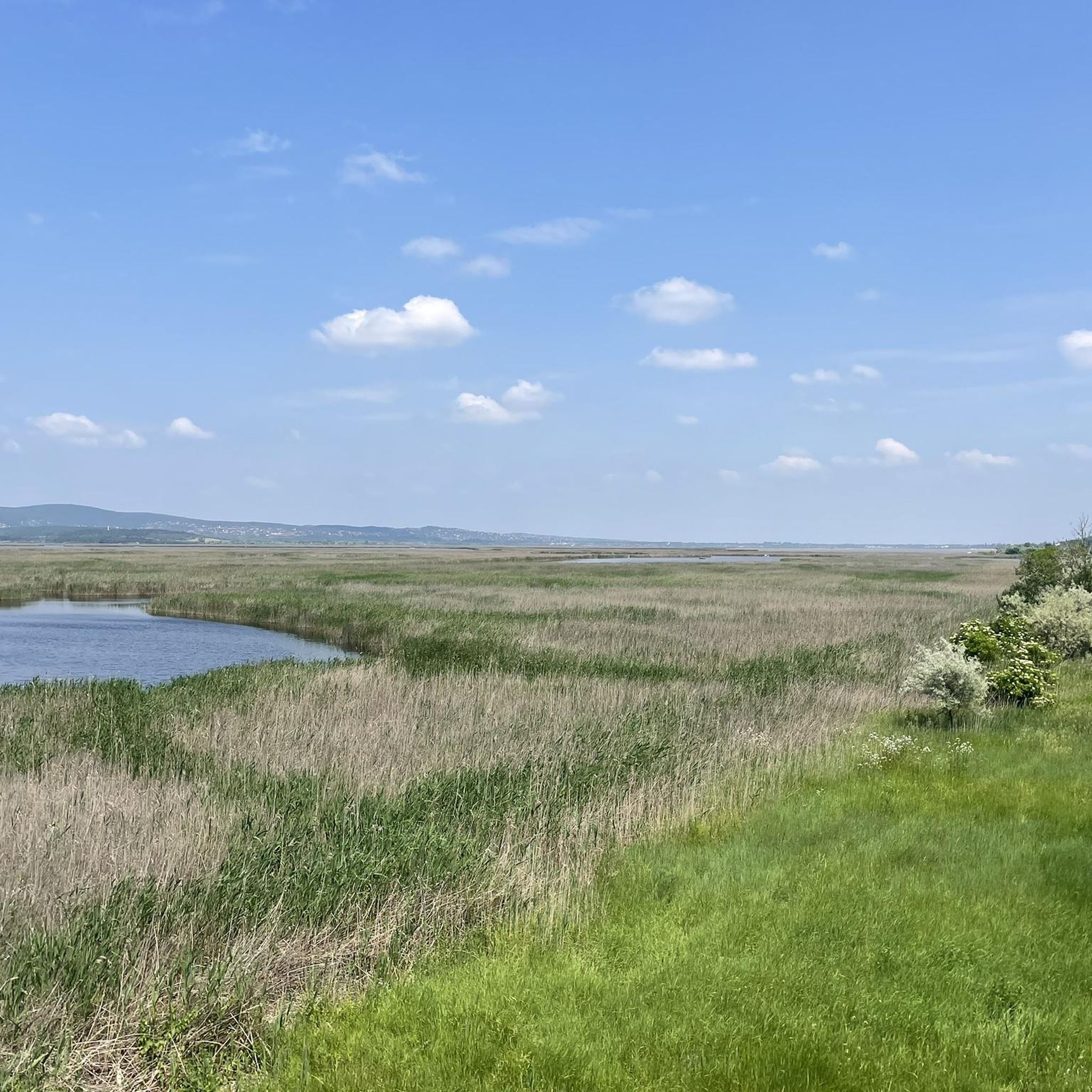
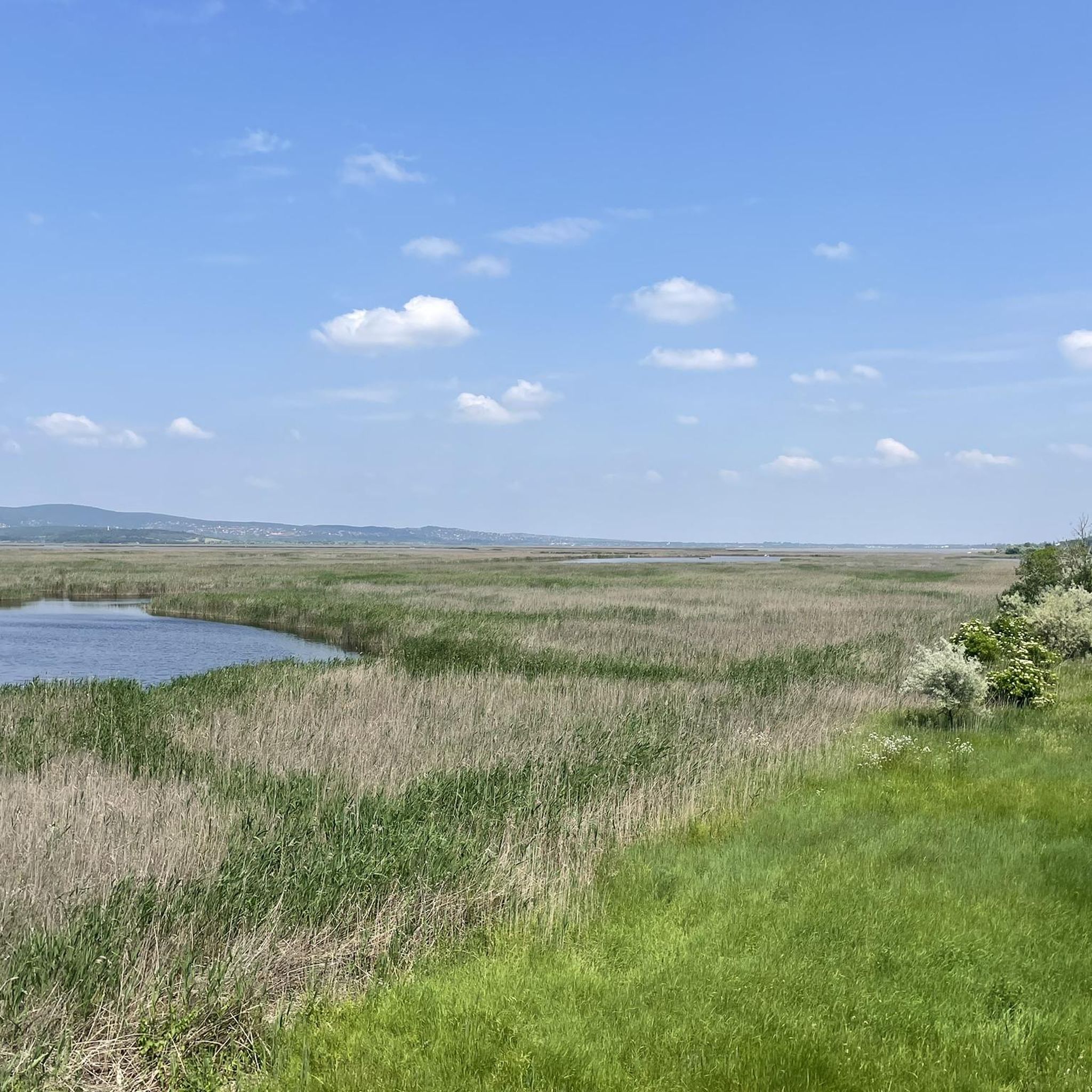
Hiking in Dinnyési Fertő Természetvédelmi Terület offers diverse landscapes, characterized by its significant wetland areas, extensive reed beds, and small open water surfaces. The region features reedy, marshy expanses that provide crucial habitats for wildlife. Drier sections include alkali-steppe vegetation with a rich flora, including salt-tolerant species. The terrain generally ranges from flat, easy paths through wetlands to more moderate ascents in areas like Meleg-hegy.
Best hiking trails in Dinnyési Fertő Természetvédelmi Terület
- The most popular hiking route is Beautiful Rock – Gomba-kő (Mushroom Stone) rock formation loop from Pákozd, a 4.5 miles (7.3 km) trail that takes 2 hours 4 minutes to complete. This moderate route features varied terrain and leads to notable rock formations.
- Another top favourite among local hikers is Gomba-kő – Árpád Rest Memorial Bench loop from Pákozd, an easy 4.3 miles (7.0 km) path. This trail offers accessible walking through natural landscapes, suitable for a relaxed outing.
- Local hikers also love the Éva Spring – Meleg-hegy (352 m) loop from Sukoró, a 7.3 miles (11.8 km) trail leading through varied terrain with an ascent to Meleg-hegy, often completed in about 3 hours 20 minutes.
- Hiking in Dinnyési Fertő Természetvédelmi Terület is defined by wetland paths, reed-lined waterways, and alkali-steppe vegetation. The network offers options for different ability levels, from easy walks to moderate hikes.
- The routes in Dinnyési Fertő Természetvédelmi Terület are highly rated by the komoot community with an average score of 4.9 stars from over 20 reviews. More than 300 hikers have used komoot to explore Dinnyési Fertő Természetvédelmi Terület's varied terrain.
Last updated: July 10, 2026
4.9
(17)
112
hikers
7.30km
02:03
150m
150m
Moderate hike. Good fitness required. Easily-accessible paths. Suitable for all skill levels.
5.0
(3)
29
hikers
Moderate hike. Good fitness required. Easily-accessible paths. Suitable for all skill levels.

Sign up for free
9
hikers
6.97km
01:55
110m
110m
Easy hike. Great for any fitness level. Easily-accessible paths. Suitable for all skill levels.
5.0
(6)
76
hikers
11.8km
03:21
260m
260m
Moderate hike. Good fitness required. Easily-accessible paths. Suitable for all skill levels.
4
hikers
4.60km
01:20
120m
120m
Easy hike. Great for any fitness level. Easily-accessible paths. Suitable for all skill levels.
Our route recommendations are based on thousands of hikes, rides, and runs completed by other people on komoot.
Start today with a free account
Your next adventure awaits.
Login or Signup
Tips from the Community

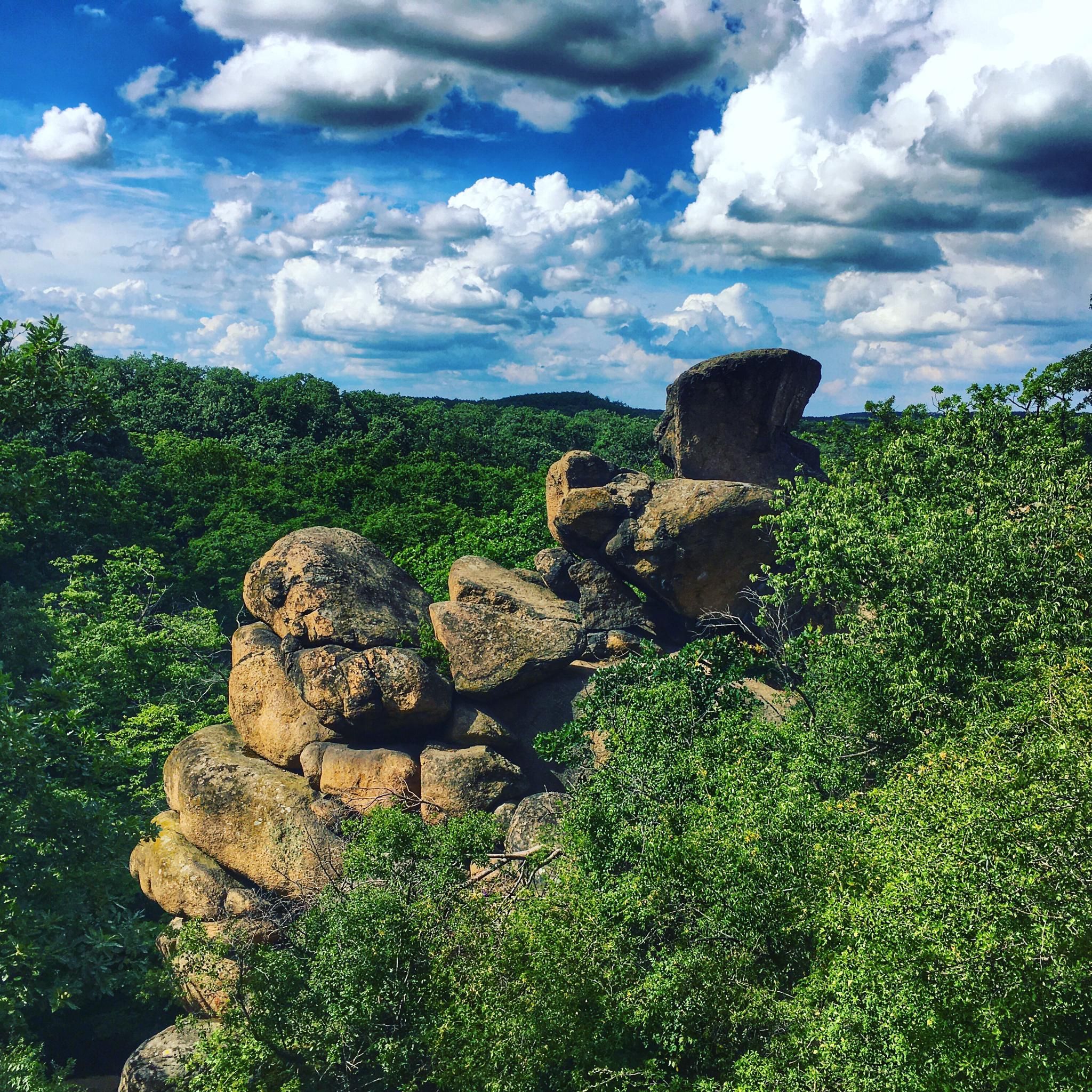
The Gomba-kő lies on the southeastern slope of Sár-hegy (226 m), and is part of the Granite Formations located in the Pákozdi Ingókövek nature reserve. It got its name from its shape. It's a bit tricky to get up with an MTB, but worth it for the view – everything. At first glance, it might seem that this stone can also be dislodged from its place, but: no :-)
0
0
Granite geological educational trail, one of the Pákozdi-Ingókövek, which got its name precisely because of its shape.
0
0

Árpád rest stop In memory of Árpád Südy (1923-2007), a gold-badged tour guide who was the president of the Fejér County Nature Association between 1988 and 1994. During his life, he did a lot for nature tourism in Fejér County.
0
0

Pákozdi ingókövek: 300 million year old, unique granite rocks Pákozdi-ingókövek are unique surface formations in Hungary, which are part of a 44-hectare nature reserve in the Velence Mountains.
0
0

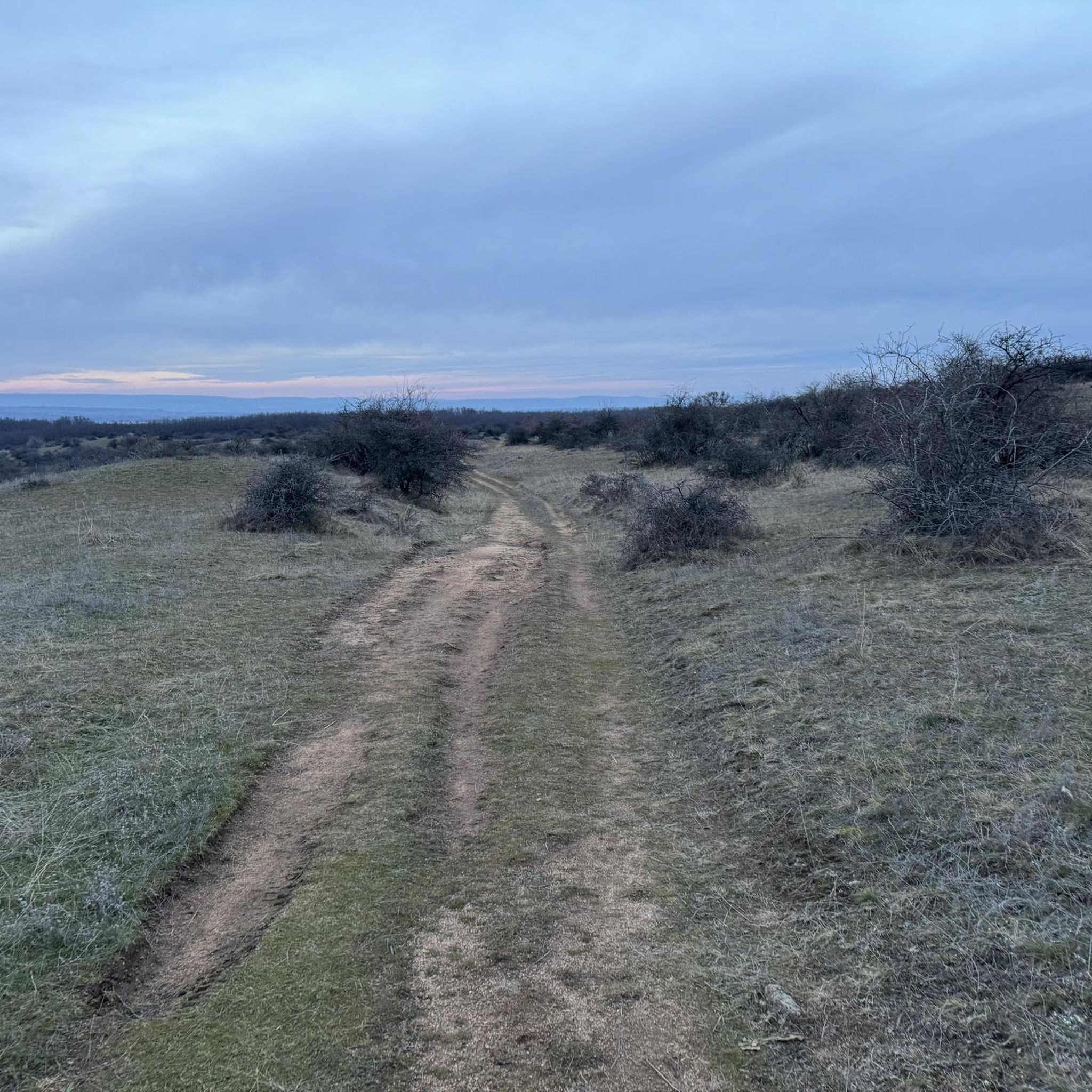
Pleasant short family hike in beautiful forest surroundings. It is easy to meet with children and pets.
0
0

Gay Mountain, 352 meters high, is the highest point of the Venetian Mountains north of Lake Venice. Its name can be explained by the fact that the main mass of the mountain is made up of granite, which is a poor conductor of heat and radiates the absorbed heat for a long time after the air has cooled down on hot summer days. https://mapio.net/pic/p-47289021/
1
0
Frequently Asked Questions
What is the general difficulty level of hiking trails in Dinnyési Fertő Természetvédelmi Terület?
The hiking trails in Dinnyési Fertő Természetvédelmi Terület cater to various skill levels. You'll find a mix of easy walks, such as the Gomba-kő – Árpád Rest Memorial Bench loop from Pákozd, and more moderate hikes like the Beautiful Rock – Gomba-kő (Mushroom Stone) rock formation loop from Pákozd. The area is generally accessible, with some routes involving gentle ascents.
Are there family-friendly hiking trails in Dinnyési Fertő Természetvédelmi Terület?
Yes, Dinnyési Fertő Természetvédelmi Terület offers several trails suitable for families. Easy and shorter routes, like the Sóstó Lookout Tower loop from Székesfehérvár, are ideal for a relaxed outing with children. These paths often lead through scenic areas, providing opportunities for nature observation.
What kind of natural features and landscapes can I expect to see while hiking?
You'll experience diverse landscapes, primarily characterized by significant wetland areas, extensive reed beds, and small open water surfaces. The region features reedy, marshy expanses that are crucial habitats for wildlife. Drier sections include alkali-steppe vegetation with a rich flora, including salt-tolerant species and plants characteristic of the Great Hungarian Plain.
When is the best time of year to go hiking in Dinnyési Fertő Természetvédelmi Terület?
Dinnyési Fertő Természetvédelmi Terület is particularly spectacular during spring and autumn. These seasons offer exceptional opportunities for birdwatching, as huge masses of ducks, geese, and swans gather on the water during migration. Late October and early November are especially notable for observing tens of thousands of geese descending upon the Fertő's waters at dusk.
What kind of wildlife can I see while hiking in Dinnyési Fertő Természetvédelmi Terület?
The area is a renowned bird paradise, attracting over 200 bird species. You can spot various waterfowl and herons, including the great egret, spoonbill, purple heron, grey heron, squacco heron, and great white egret. Observation towers are available to enhance birdwatching experiences, and the 'Madárdal tanösvény' (Birdsong Nature Trail) provides information on aquatic life.
Are there circular hiking routes available in the area?
Yes, many of the trails in Dinnyési Fertő Természetvédelmi Terület are designed as circular routes, allowing you to start and end at the same point. Examples include the Éva Spring – Meleg-hegy (352 m) loop from Sukoró and the Csöntör-hegy – Éva Spring loop from Sukoró, offering convenient exploration of the region.
What do other hikers say about the trails in Dinnyési Fertő Természetvédelmi Terület?
The trails in Dinnyési Fertő Természetvédelmi Terület are highly rated by the komoot community, with an average score of 4.9 stars from over 20 reviews. Hikers often praise the diverse landscapes, the abundance of wildlife, especially birds, and the well-maintained paths that make for enjoyable outings.
How many hiking trails are available in Dinnyési Fertő Természetvédelmi Terület?
There are several hiking routes available in Dinnyési Fertő Természetvédelmi Terület, offering diverse options for exploration. These include easy walks and moderate hikes, ensuring there's a trail for various preferences and fitness levels.
What should I bring for a hike in Dinnyési Fertő Természetvédelmi Terület?
Given the wetland nature of the area and opportunities for birdwatching, it's advisable to bring binoculars for wildlife observation. Comfortable walking shoes suitable for varied terrain, including potentially marshy sections, are recommended. Depending on the season, insect repellent and sun protection can also be useful.
Are there any specific landmarks or points of interest along the trails?
While hiking, you can explore natural landmarks such as the Gomba-kő (Mushroom Stone) rock formation, which is featured on routes like the Beautiful Rock – Gomba-kő (Mushroom Stone) rock formation loop from Pákozd. The area also features observation towers for birdwatching and the 'Madárdal tanösvény' (Birdsong Nature Trail) with informational boards.
What is the typical terrain like on the hiking trails?
The terrain in Dinnyési Fertő Természetvédelmi Terület generally ranges from flat, easy paths through wetlands and reedy areas to more moderate ascents in sections like Meleg-hegy. You can expect a mix of natural surfaces, including dirt paths and possibly some boardwalks in marshier sections, offering varied walking experiences.
Most popular routes in Dinnyési Fertő Természetvédelmi Terület

Get inspired with the komoot mobile app


Explore more
Browse the best Hikes in other regions.
