The best cycling routes in Svrčinník
3.0
(1)
90
riders
3
rides
Touring cycling in Svrčinník offers routes characterized by varied elevations and forested landscapes. The region features numerous hills and challenging ascents, providing a demanding experience for cyclists. Terrain often includes winding paths through dense woodlands and open areas with significant elevation changes. This makes Svrčinník suitable for those seeking more strenuous touring cycling routes.
Best touring cycling routes in Svrčinník
- The most popular touring cycling route is Železná Brána Junction – Trail Junction Shelter loop from Tajov, a 21.9…
Last updated: October 5, 2026
9
riders
35.2km
03:47
1,140m
1,140m
Hard bike ride. Very good fitness required. Mostly paved surfaces. Suitable for all skill levels.
7
riders
19.9km
01:40
510m
510m
Hard bike ride. Very good fitness required. Mostly paved surfaces. Suitable for all skill levels.

10
riders
22.0km
02:20
600m
600m
Hard bike ride. Very good fitness required. Mostly paved surfaces. Suitable for all skill levels.
16
riders
14.7km
01:30
390m
390m
Hard bike ride. Good fitness required. You may need to push your bike for some segments of this route.
8
riders
30.1km
02:11
520m
520m
Hard bike ride. Very good fitness required. Mostly paved surfaces. Suitable for all skill levels.
Our route recommendations are based on thousands of hikes, rides, and runs completed by other people on komoot.
Start today with a free account
Your next adventure awaits.
Popular around Svrčinník
Tips from the Community

Not ideal for cycling, but good for walking
0
0

Slovak National Uprising Monument and Museum commemorating the 1944 Slovak National Uprising. More information: https://de.wikipedia.org/wiki/Slowakischer_Nationalaufstand and http://www.muzeumsnp.sk/
0
0
Interesting old town with an impressive history. Slovak National Uprising Square. Several monuments, churches and the castle, Nice restaurants and the fountain. More information: https://de.wikipedia.org/wiki/Bansk%C3%A1_Bystrica#Sehensw%C3%BCrdigkeiten
2
0

Nice historic city build on mining and then, it played a role in WWII - the Slovak national uprising started here. There is also a museum dedicated to this part of the history + outdoor (outside?) exhibition of few WWII tanks and other war machines.
0
0

junction at an altitude of 1199 m.n.m.
0
0
Frequently Asked Questions
How many touring cycling routes are available in Svrčinník?
Svrčinník offers a selection of 5 touring cycling routes, all of which are rated as difficult due to significant elevation changes and challenging terrain.
Are there any easy or beginner-friendly touring cycling routes in Svrčinník?
No, all touring cycling routes in Svrčinník are classified as difficult. The region is characterized by numerous hills, challenging ascents, and varied elevations, making it best suited for experienced cyclists seeking a strenuous ride.
What kind of terrain can I expect on touring cycling routes in Svrčinník?
The terrain in Svrčinník primarily features winding paths through dense woodlands and open areas with significant elevation changes. Expect forested hills and demanding climbs throughout your ride.
Are there any circular touring cycling routes in Svrčinník?
Yes, many routes in Svrčinník are loops. For example, you can explore the Železná Brána Junction – Trail Junction Shelter loop from Tajov, which covers 35.3 km, or the shorter Suchý Vrch loop from Riečka at 19.9 km.
What is the average duration for a touring cycling route in Svrčinník?
Route durations vary depending on length and elevation. For instance, the Lopúchový vrch – Mýtny vrch loop from Skalka typically takes about 2 hours 21 minutes to complete its 22.4 km. Longer routes, like the Železná Brána Junction loop, can take nearly 4 hours.
What do other touring cyclists say about Svrčinník?
The touring cycling routes in Svrčinník are highly rated by the komoot community, with an average score of 3.0 stars. Cyclists often appreciate the challenging nature of the terrain and the scenic forested landscapes.
Is Svrčinník suitable for family touring cycling trips?
Given that all touring cycling routes in Svrčinník are classified as difficult with substantial elevation gains, the area is generally not recommended for casual family cycling trips, especially with young children. It's better suited for experienced cyclists.
When is the best time of year to go touring cycling in Svrčinník?
The best time for touring cycling in Svrčinník is typically during the warmer months, from late spring to early autumn, when the weather is more stable and the forest paths are clear. Always check local weather conditions before heading out.
Are there any specific viewpoints or scenic spots along the touring cycling routes?
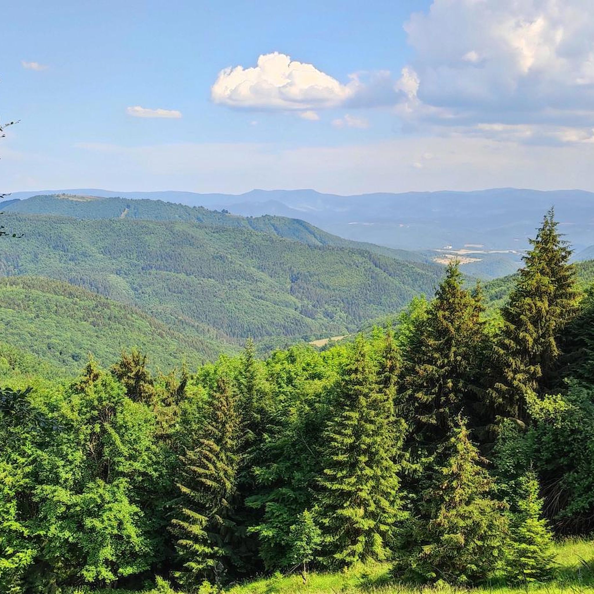
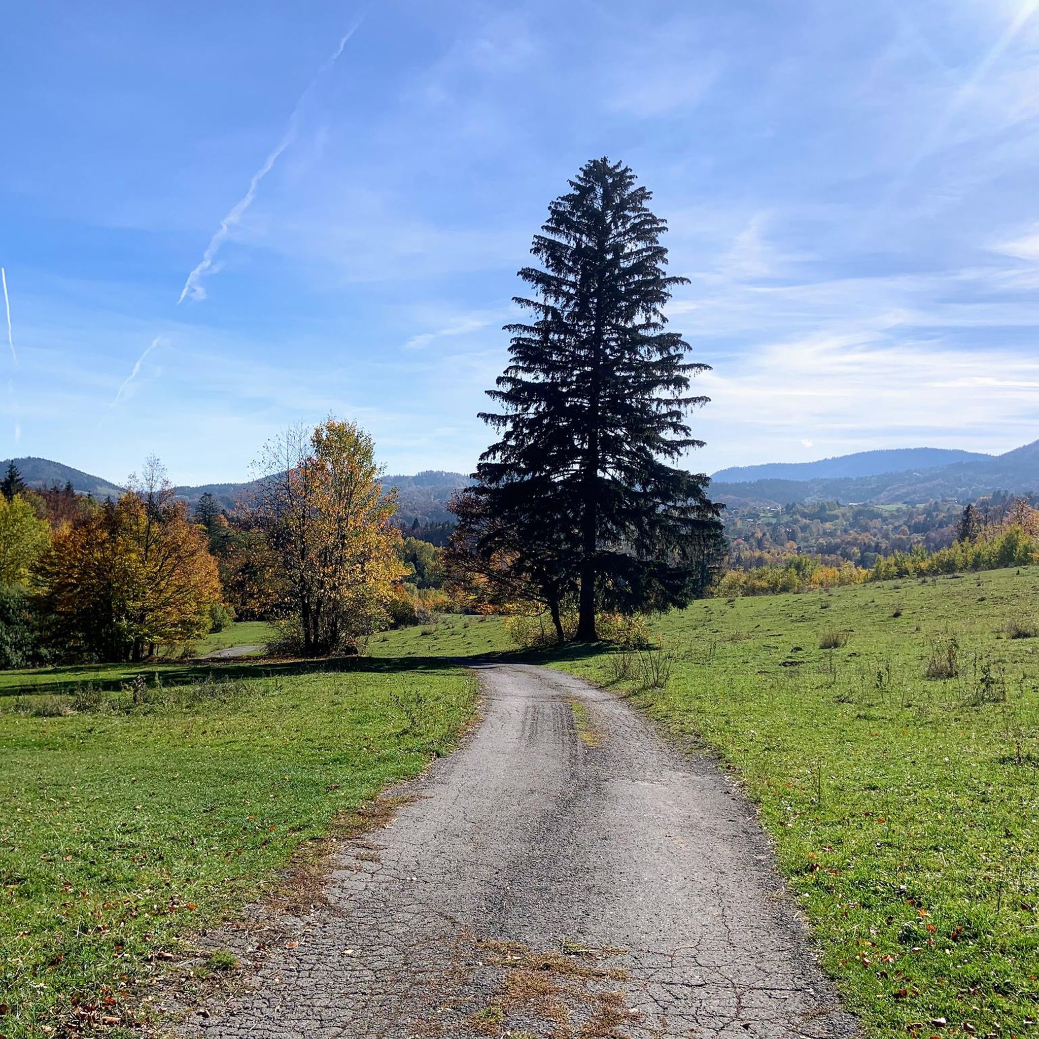
While specific named viewpoints are not detailed, the routes in Svrčinník wind through dense woodlands and open areas, offering natural scenic beauty with views of forested hills and varied landscapes throughout your ride.
Are there any touring cycling routes that pass by historical sites or landmarks?
One route, the Hradisko na Žiari loop from Podlavické výmole, suggests proximity to an area named 'Hradisko,' which often implies a historical fort or settlement site. This 14.7 km loop offers a challenging ride through the region's characteristic terrain.
What should I wear for touring cycling in Svrčinník?
Due to the challenging nature of the routes and varied elevations, it's advisable to wear appropriate cycling gear, including layers for changing weather, a helmet, and sturdy cycling shoes. Bring enough water and snacks, as services might be limited on the trails.
Are there any longer touring cycling routes for extended rides?
Yes, for a longer and more demanding ride, consider the Mountain Forest Trail – Banská Bystrica loop from Podlavické výmole. This route spans 32.2 km and features significant elevation changes, providing a substantial challenge for touring cyclists.
Most popular routes in Svrčinník

Get inspired with the komoot mobile app


Explore more
Browse the best Cycling routes in other regions.
