The best walks and hikes in Kurtuvėnų Regioninis Parkas
4.8
(29)
157
hikers
6
hikes
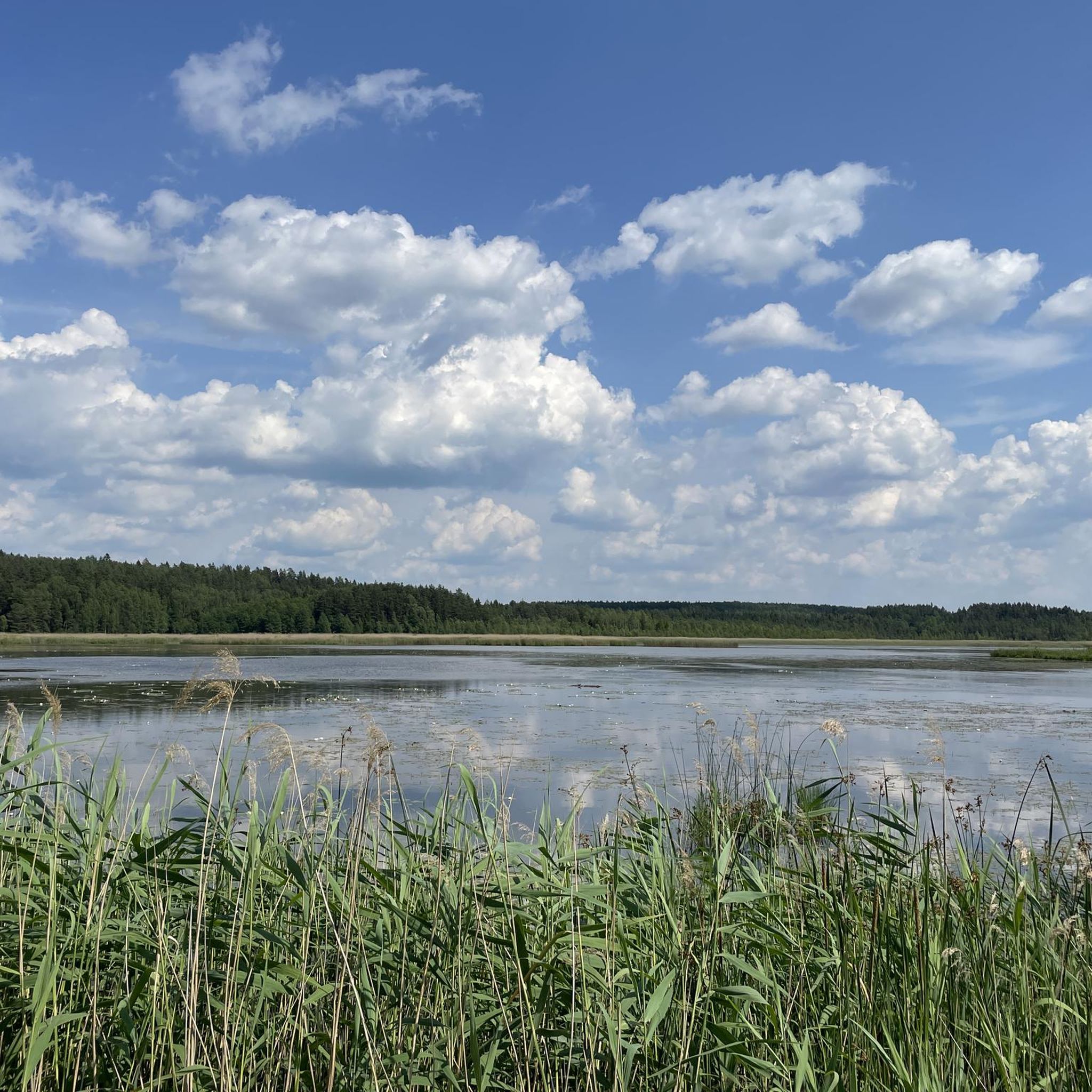
Hiking trails in Kurtuvėnų Regioninis Parkas traverse a diverse landscape characterized by forested, lake-filled hills, shaped by ancient glaciers. The park features a varied terrain including fluvioglacial hills, eskers, kames, and ravines, situated on the edge of the Samogitia hilly land. It is home to 30 small lakes, 20 streams, extensive wetlands, and continental dunes, offering a range of natural features for exploration.
Best hiking trails in Kurtuvėnų Regioninis Parkas
- The most popular hiking route is Hiking loop from Pageluvis, a 4.4 miles (7.1 km) trail that takes 1 hour 53 minutes to complete, leading through forested areas and past lakes.
- Another top favourite among local hikers is Hiking loop from Glumbotiškė, a moderate 6.7 miles (10.9 km) path that explores the park's diverse terrain of forests and lakes.
- Local hikers also love the Kurtuvėnai Manor Complex – Smirdelė Wetland Trail loop from Bazilionai, a 13.9 miles (22.3 km) trail leading through the Kurtuvėnai Manor Complex and Smirdelė Wetland, often completed in about 5 hours 50 minutes.
- Hiking in Kurtuvėnų Regioninis Parkas is defined by forested hills, numerous lakes, and diverse wetlands. The network offers options for easy walks and more challenging routes across varied terrain.
- The routes in Kurtuvėnų Regioninis Parkas are highly rated by the komoot community with an average score of 4.8 stars from over 20 reviews. More than 140 hikers have used komoot to explore Kurtuvėnų Regioninis Parkas's varied terrain.
Last updated: July 12, 2026
5.0
(10)
59
hikers
7.14km
01:53
60m
60m
Easy hike. Great for any fitness level. Easily-accessible paths. Suitable for all skill levels.
5.0
(7)
32
hikers
10.9km
02:50
70m
70m
Moderate hike. Good fitness required. Easily-accessible paths. Suitable for all skill levels.

Sign up for free
4.7
(3)
21
hikers
22.3km
05:51
170m
170m
Hard hike. Very good fitness required. Easily-accessible paths. Suitable for all skill levels.
4.7
(3)
22
hikers
Hard hike. Very good fitness required. Easily-accessible paths. Suitable for all skill levels.
4.4
(5)
10
hikers
Moderate hike. Good fitness required. Easily-accessible paths. Suitable for all skill levels.
Our route recommendations are based on thousands of hikes, rides, and runs completed by other people on komoot.
Start today with a free account
Your next adventure awaits.
Login or Signup
Popular around Kurtuvėnų Regioninis Parkas
Tips from the Community

DON'T COME HERE IF YOU DON'T WANT TO WAIT
0
0


The paths here are all natural. A pleasure for every hiker to walk them.
0
0
Invites you to take a break while enjoying the view.
0
0
Exciting for children and the young at heart. BUT BE CAREFUL! ☝️DO NOT CRAWLE IN!
0
0
Great view of the lake. Also nice for barbecuing. If only people would take their rubbish with them. 😡
0
0

As it is a swamp I am not suggesting to visit this place after heavy rain or in an early spring.
0
1

2.9-kilometer-long pedestrian trail leading through Vainagiai Landscape Reserve.
0
2
Frequently Asked Questions
How many hiking trails are available in Kurtuvėnų Regioninis Parkas?
Kurtuvėnų Regioninis Parkas offers a selection of 6 hiking trails, catering to various preferences. These include 1 easy route, 3 moderate routes, and 2 more challenging options.
What kind of terrain can I expect on the hiking trails?
The park features a highly diverse landscape, characterized by forested, lake-filled hills shaped by ancient glaciers. You'll encounter fluvioglacial hills, eskers, kames, and ravines. While there isn't significant elevation gain, the varied terrain provides engaging walks through forests, around lakes, and across wetlands.
Are there any family-friendly hiking options in the park?
Yes, there are routes suitable for families. The park offers easy walks through its diverse landscapes. For example, the Hiking loop from Pageluvis is an easy 7.1 km trail that takes about 2 hours to complete, making it a good choice for families.
What natural features or landmarks can I see while hiking?
The park is rich in natural and cultural heritage. You can explore 30 small lakes, 20 streams, extensive wetlands, and even continental dunes. Notable natural features include the Svilė springs and large boulders like Martynas. Cultural sites include the historical Kurtuvėnai Manor and the Girnikai Hill hillfort. Don't miss the Boardwalk and Observation Deck at Kurtuvėnai Regional Park Wetlands for excellent views and bird-watching.
What is the best time of year to go hiking in Kurtuvėnų Regioninis Parkas?
The best times for hiking and birdwatching are generally during the summer months. Autumn also offers beautiful colors, though trails might be damp. The park is known for being quiet even on summer weekends, providing a peaceful experience.
Are there any circular hiking routes available?
Yes, many of the trails in Kurtuvėnų Regioninis Parkas are designed as loops. Examples include the Hiking loop from Glumbotiškė, which explores forests and lakes, and the longer Kurtuvėnai Manor Complex – Smirdelė Wetland Trail loop from Kurtuvėnų dvaras.
Where can I find parking for the hiking trails?
The park's visitor center, located in the rebuilt coach-house of the Kurtuvėnai Manor, is a good starting point and likely offers parking facilities. It also provides information on sightseeing trails and tourist services.
What do other hikers say about the trails in Kurtuvėnų Regioninis Parkas?
The routes in Kurtuvėnų Regioninis Parkas are highly rated by the komoot community, with an average score of 4.8 stars from over 20 reviews. Hikers often praise the peaceful atmosphere, diverse landscapes, and the opportunity to explore both natural beauty and historical sites like the Kurtuvėnai Manor.
Are there any long-distance or more challenging hikes?
For those seeking a longer and more challenging experience, the park offers routes like the Kurtuvėnai Manor Complex – Smirdelė Wetland Trail loop from Bazilionai. This trail covers 22.3 km and typically takes around 5 hours 50 minutes to complete, leading through varied terrain including the manor complex and wetlands.
Can I explore historical sites within the park?
Absolutely. The historical Kurtuvėnai Manor, dating back to the 15th century, is a central cultural heritage site. You can also visit the Girnikai Hill hillfort and the interesting Venta-Dubysa Canal, an excavated channel from the 19th century.
Is there public transport available to Kurtuvėnų Regioninis Parkas?
While specific public transport routes are not detailed, the park center in Kurtuvėnai is the main hub for visitors. For detailed information on reaching the park by public transport, especially from nearby cities like Šiauliai, it's advisable to check local transport schedules or contact the park visitor center directly.
Most popular routes in Kurtuvėnų Regioninis Parkas
Most popular attractions in Kurtuvėnų Regioninis Parkas

Get inspired with the komoot mobile app


Explore more
Browse the best Hikes in other regions.
