The best walks and hikes around Hirzenhain
4.5
(139)
487
hikers
61
hikes
Hiking around Hirzenhain offers diverse landscapes within the Hochtaunus Nature Park, characterized by green hills and historic orchard meadows. The region is also near the Hoher Vogelsberg Nature Park, which features volcanic evidence and extensive trail networks. Hikers can explore a variety of terrains, from gentle paths around the Nidda Reservoir to more elevated routes. This area provides a blend of natural features suitable for outdoor activities.
Best hiking trails around Hirzenhain
- The most popular hiking route is Gederner Lake…
Last updated: October 4, 2026
4.1
(21)
71
hikers
10.9km
02:57
150m
150m
Moderate hike. Good fitness required. Easily-accessible paths. Suitable for all skill levels.
4.4
(10)
29
hikers
13.5km
03:52
320m
320m
Moderate hike. Good fitness required. Mostly accessible paths. Sure-footedness required.

4.7
(9)
26
hikers
11.8km
03:10
140m
140m
Moderate hike. Good fitness required. Easily-accessible paths. Suitable for all skill levels.
4.3
(4)
21
hikers
11.4km
03:08
190m
190m
Moderate hike. Good fitness required. Easily-accessible paths. Suitable for all skill levels.
4.4
(8)
19
hikers
10.8km
02:59
190m
200m
Moderate hike. Good fitness required. Easily-accessible paths. Suitable for all skill levels.
Get access to more routes and recommendations from other explorers.
Already have an account?
Our route recommendations are based on thousands of hikes, rides, and runs completed by other people on komoot.
Start today with a free account
Your next adventure awaits.

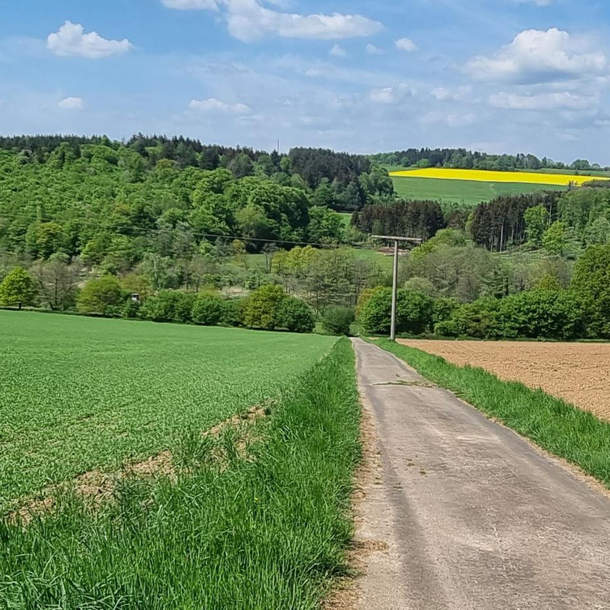
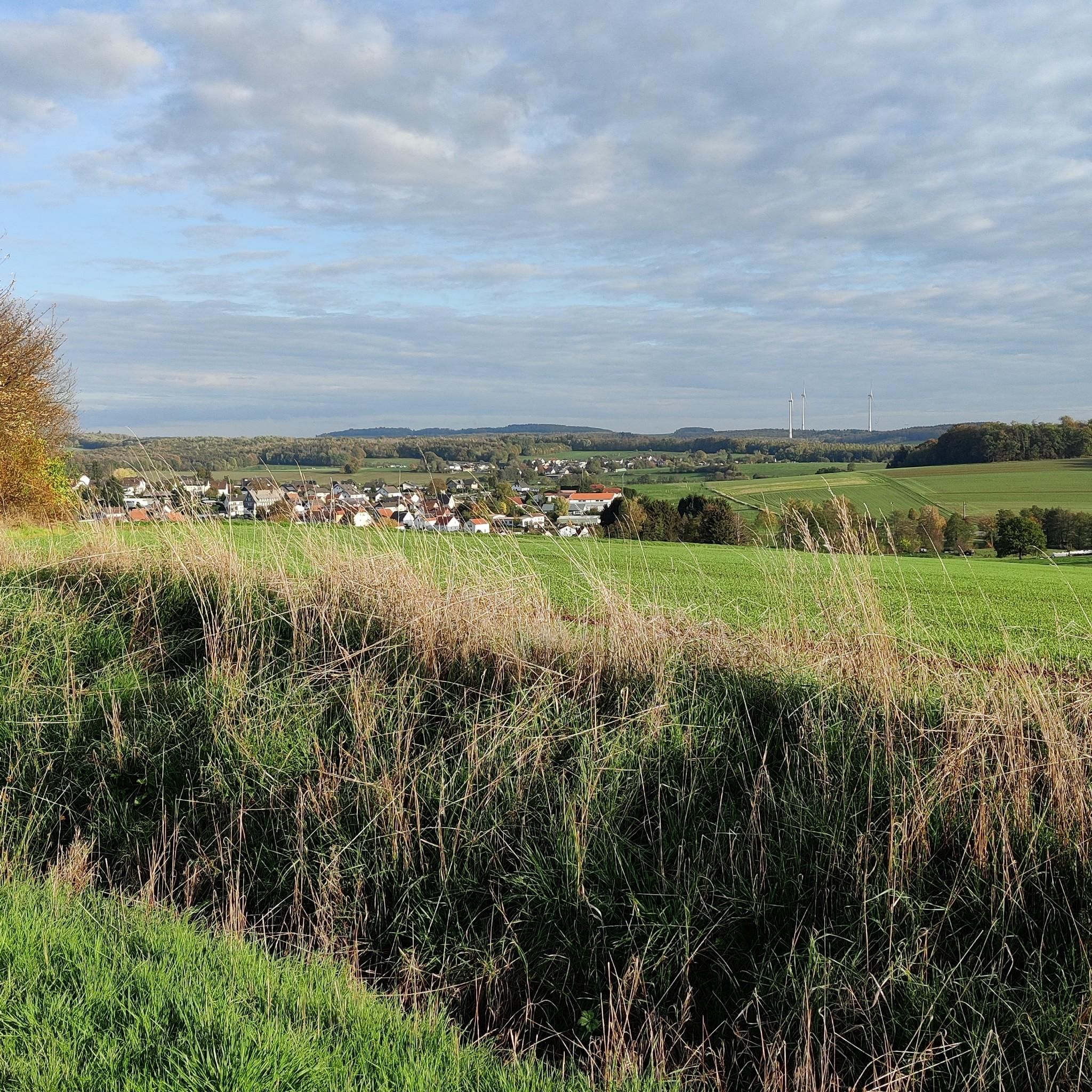

Other adventures around Hirzenhain

Tips from the Community

If you're pedaling hard or your feet are burning in your hiking boots, a short break in the Wassertretbecken (water-treading pool) in Lißberg is worthwhile. The facility is the result of real community effort. Many helpers, patrons, and the municipal building yard contributed to its construction. Many materials were second-hand and found a new purpose here in the spirit of sustainability. The foot and arm basin is fed by a spring whose water temperature is between 14 and 16 degrees Celsius year-round – cool enough to get tired legs going again in the summer months.
1
0
Lißberg Castle towers over the cone of a volcano that became extinct millions of years ago. Its distinctive keep, popularly known as the "Lißberger Krautfass" (Lißberg cabbage barrel) due to its round shape and conical tip, can be seen from afar. It is the only completely preserved building of the 12th-century castle. After prior arrangement, the tower can also be climbed. With good visibility, the view from the top extends to the Frankfurt skyline.
1
0

The balancing pond next to the Nidder serves to regulate the water of the Nidder and subsequent rivers. It presents a beautiful picture in front of the romantically situated village of Lißerg.
1
0

A great place to refuel during a tour. German and Indian cuisine. The terrace offers a lovely view of the lake.
0
0

Great design of the terrain.
0
0


Great view of the Lißberg castle ruins and the small Nidder reservoir.
0
0

Unfortunately, the pool didn't have any water in April, but visitors can still enjoy the view of Lißberg from here. This small, lively stream along the path is a lovely eye-catcher. And of course, the instructions for "Kneipen" (drinking) as a souvenir are a must-have.
0
0
Frequently Asked Questions
How many hiking trails are available in Hirzenhain?
Hirzenhain offers a wide selection of hiking opportunities, with over 60 routes available. These range from easy strolls to more moderate excursions, ensuring there's something for every hiker.
What is the best time of year to go hiking in Hirzenhain?
Spring and summer are generally considered the prime seasons for exploring the outdoors in Hirzenhain. During these months, the green hills and orchard meadows are at their most vibrant, and the weather is typically pleasant for hiking.
Are there easy hiking routes suitable for beginners or families in Hirzenhain?
Yes, Hirzenhain has 27 easy hiking routes, perfect for beginners or families looking for a relaxed outing. Many trails offer gentle paths through the picturesque landscapes, such as those around the Nidda Reservoir, which is a popular spot for recreation.
What kind of terrain can I expect on hikes around Hirzenhain?
The terrain around Hirzenhain is diverse, characterized by beautiful green hills and historic orchard meadows within the Hochtaunus Nature Park. You'll find a mix of gentle paths, especially around the Nidda Reservoir, and more elevated routes as you venture towards areas like the Hoher Vogelsberg Nature Park, which features volcanic evidence and extensive trail networks.
Are there circular hiking routes available in Hirzenhain?
Yes, many of the hiking routes in Hirzenhain are designed as circular paths, allowing you to start and end at the same point. An example is the Protestant Church Lißberg – Lissberg Castle loop from Hirzenhain, which offers a moderate 11.4 km journey through varied landscapes.
What natural attractions or landmarks can I see while hiking in Hirzenhain?
While hiking in Hirzenhain, you can explore several natural and historical landmarks. The Nidda Reservoir is a popular spot, and you can also discover historical sites like Lissberg Castle or the Konradsdorf Monastery. For scenic views, consider routes that pass by the Hoherodskopf Summit.
Can I bring my dog on the hiking trails in Hirzenhain?
Generally, dogs are welcome on hiking trails in the Hirzenhain region, especially within the Hochtaunus and Hoher Vogelsberg Nature Parks. However, it's always recommended to keep them on a leash, particularly in nature reserves or near livestock, and to respect local signage regarding pet regulations.
Are there any scenic viewpoints along the hiking trails in Hirzenhain?
Yes, the region offers several scenic viewpoints. The Hoherodskopf Summit is known as an 'adventure mountain' and provides excellent panoramic views. Additionally, routes like the Schwarberg Summit Cross – Lissberg Castle loop from Hirzenhain will lead you to elevated spots with rewarding vistas.
What do other hikers enjoy most about hiking in Hirzenhain?
The komoot community highly rates the hiking experience in Hirzenhain, with an average score of 4.5 stars from over 120 reviews. Hikers often praise the varied terrain, the beauty of the green hills and orchard meadows, and the well-maintained trails that offer a blend of natural beauty and historical interest.
Are there any long-distance hiking trails accessible from Hirzenhain?
Yes, Hirzenhain is situated near significant long-distance hiking trails. The region is close to the Hoher Vogelsberg Nature Park, which features the 125 km long 'Vulkanring' trail. Additionally, the Boniface Route, a pilgrimage path stretching 185 km, passes through the broader area, offering extensive hiking opportunities.
What kind of wildlife might I spot while hiking in Hirzenhain?
The historic orchard meadows and green hills around Hirzenhain serve as important biotopes. While hiking, you might spot various songbirds, insects, and even bats, especially in the evening. The diverse natural environment of the Hochtaunus Nature Park supports a range of local fauna.
Where can I find parking for hiking trails in Hirzenhain?
While specific parking details vary by trailhead, most popular hiking areas and trailheads in Hirzenhain and the surrounding nature parks offer designated parking facilities. It's advisable to check local maps or komoot tour details for specific parking information near your chosen starting point.
Most popular routes around Hirzenhain
Most popular attractions around Hirzenhain

Get inspired with the komoot mobile app


Explore more
Browse the best Hikes in other regions.
