The 10 Most Amazing Peaks around Hontheim
Best mountain peaks around Hontheim are characterized by an elevated landscape, dense forests, and rolling hills within the southern Volcanic Eifel region of Germany. The area is situated on a plateau at an elevation of approximately 385 meters. While not featuring conventional towering peaks, the region offers diverse hiking opportunities and scenic views. The geography includes wooded mountain ranges and steep hillsides, particularly near the Kondelwald forest and Bad Bertrich.
Best mountain peaks around Hontheim
- The most popular mountain peaks…
Last updated: October 2, 2026
View of the Moselle Loop from Calmont Summit Cross
Highlight • Viewpoint
Translated by Google •
Tip by

Panoramic view of the Moselle bend below the Calmont summit
Highlight • Viewpoint
Translated by Google •
Tip by

Sign up now to discover places like this
Get recommendations on the best single tracks, peaks, & plenty of other exciting outdoor places.
Todesangst Viewpoint
Highlight • Viewpoint
Translated by Google •
Tip by
View of the Moselle and Neef from Petersberg
Highlight • Viewpoint
Translated by Google •
Tip by

Calmont Summit Cross
Highlight • Summit
And …
Translated by Google •
Tip by

Sign up for free to discover even more peaks around Hontheim.
Already have an account?
Start today with a free account
Your next adventure awaits.
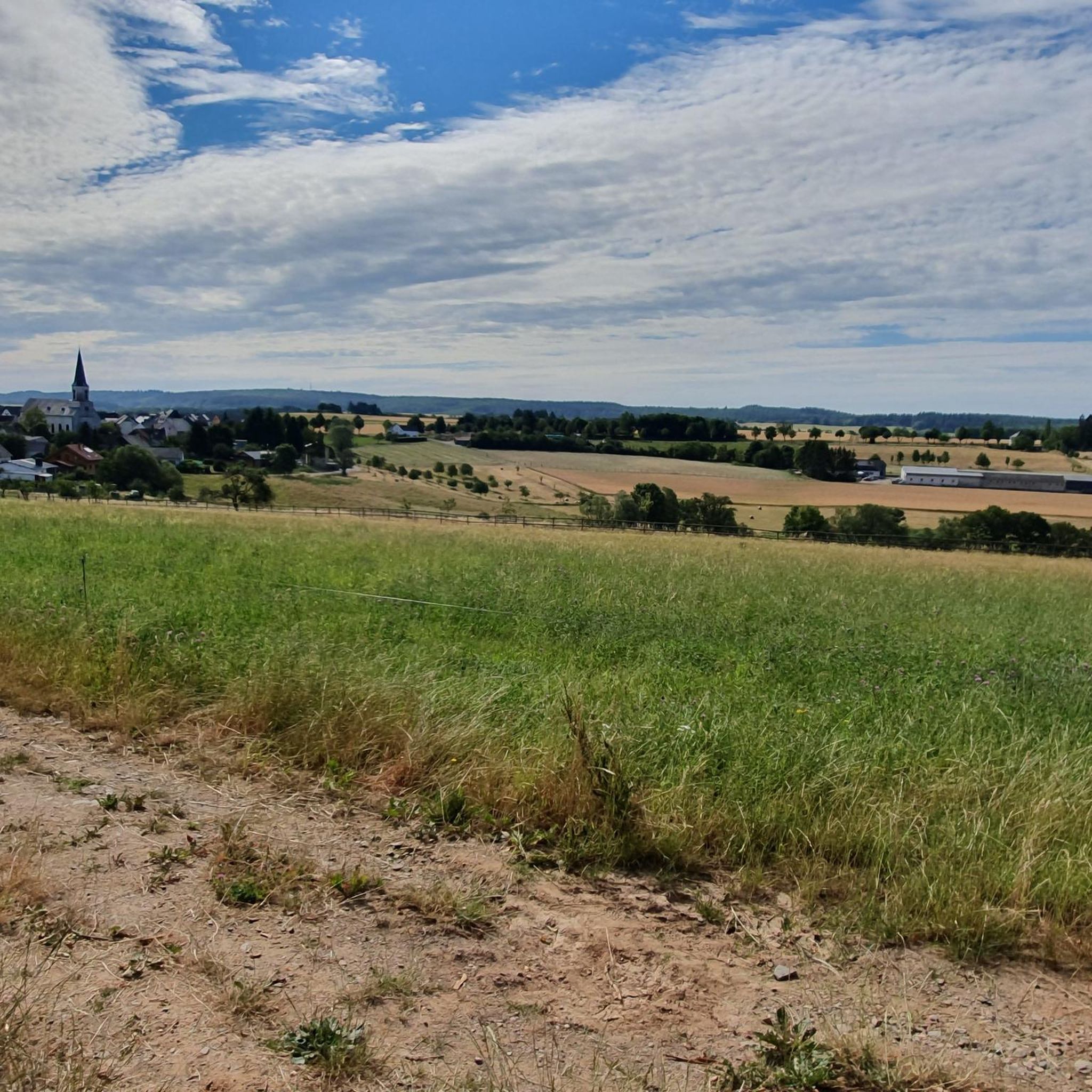
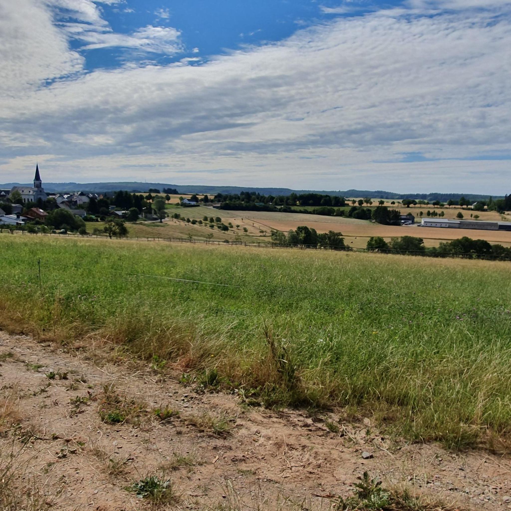
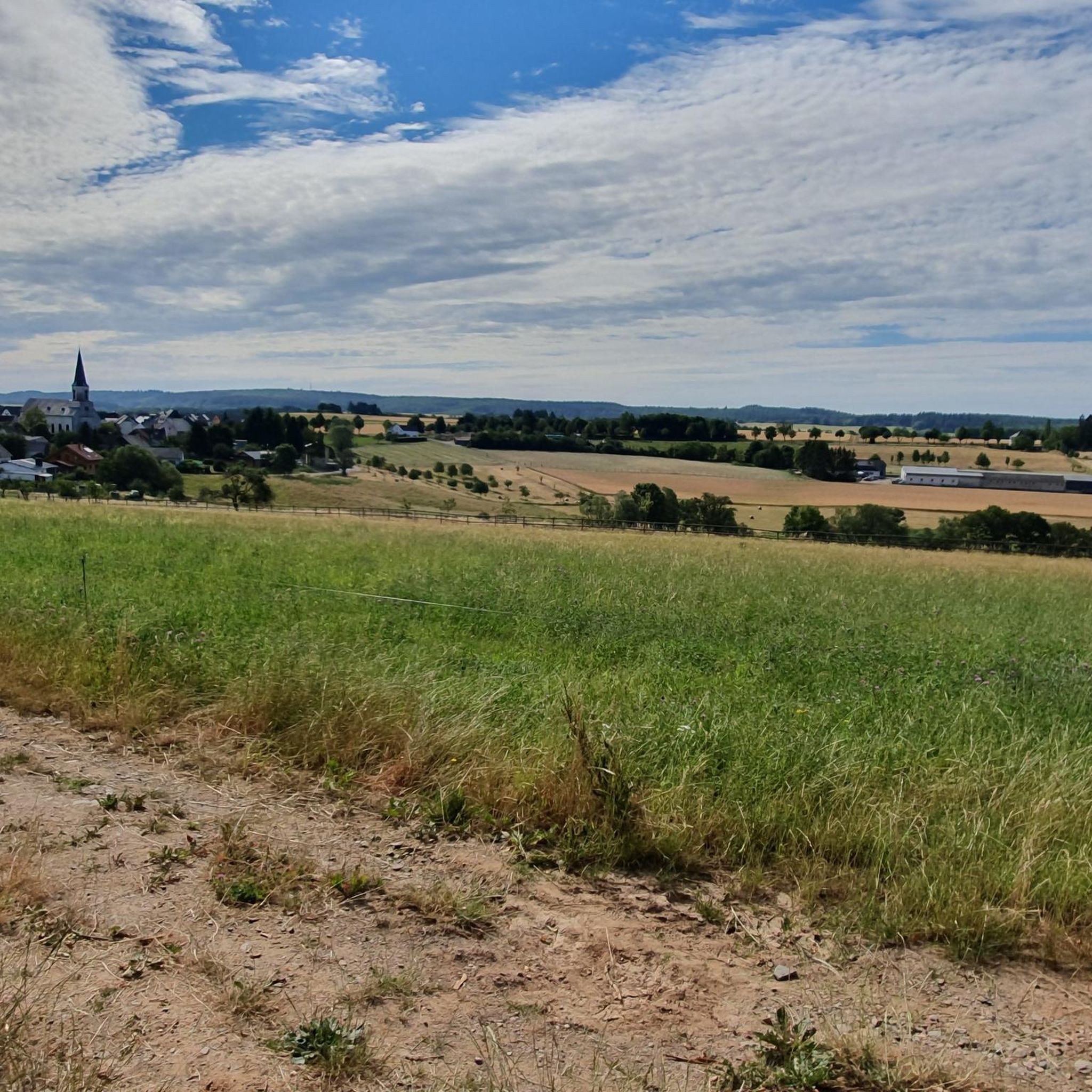
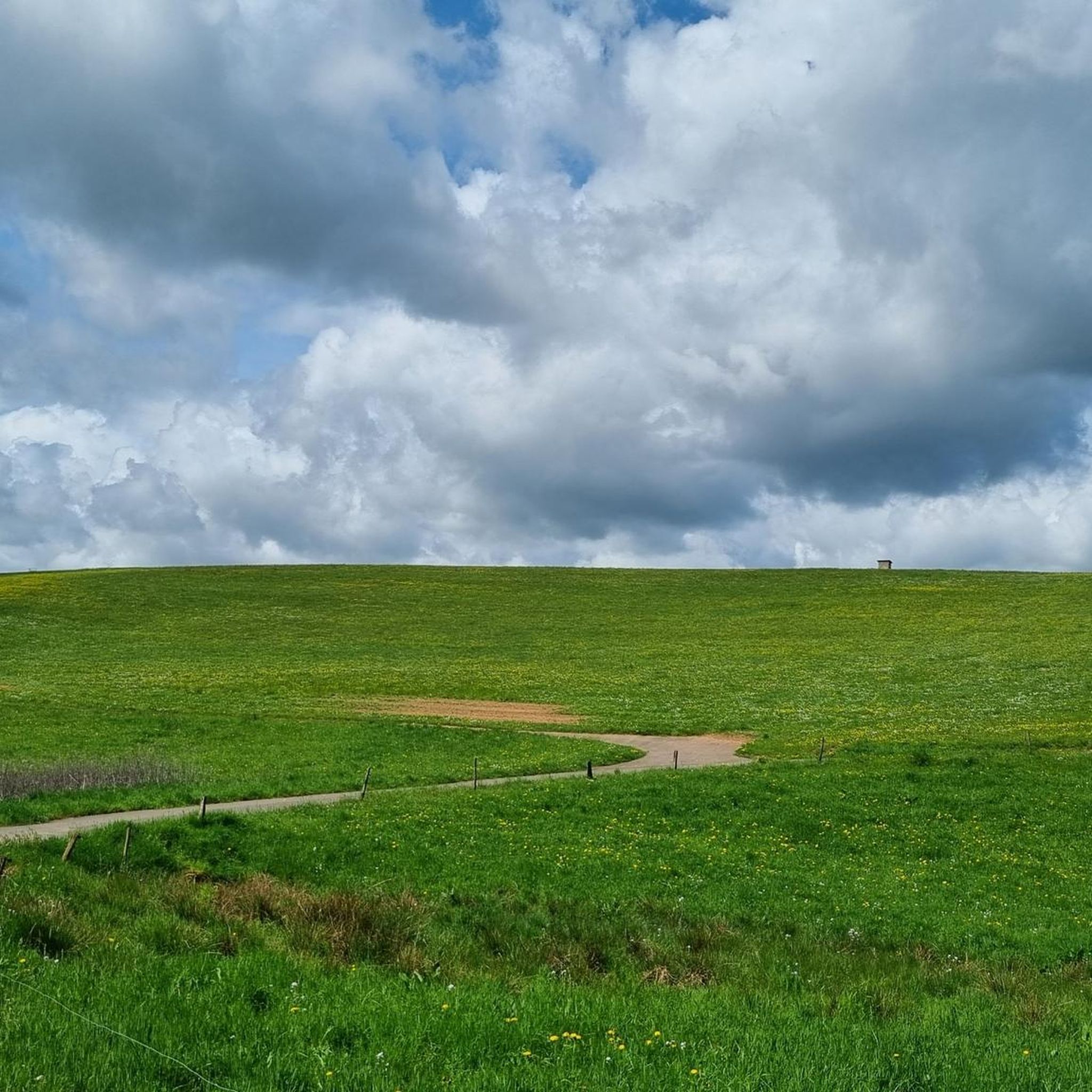
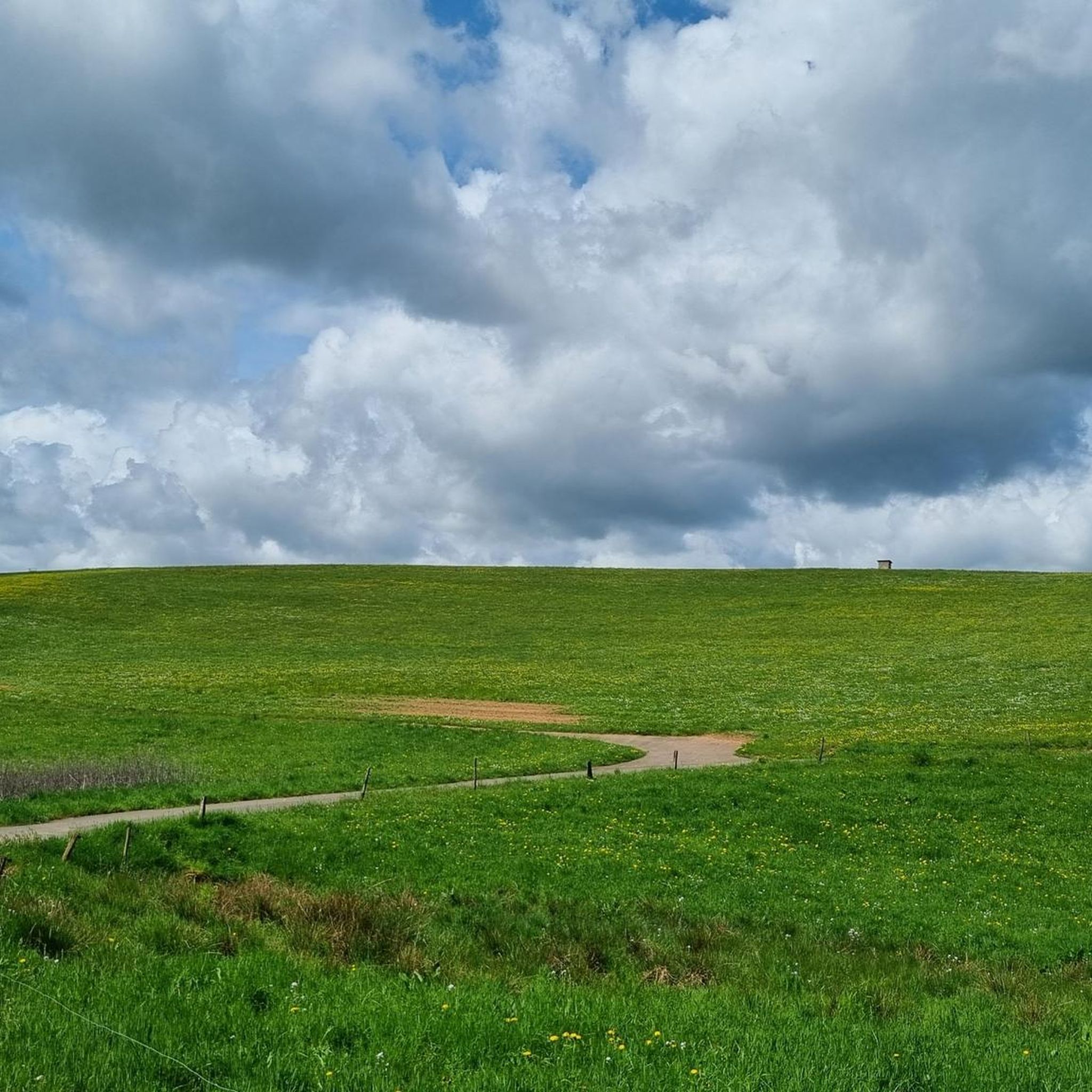
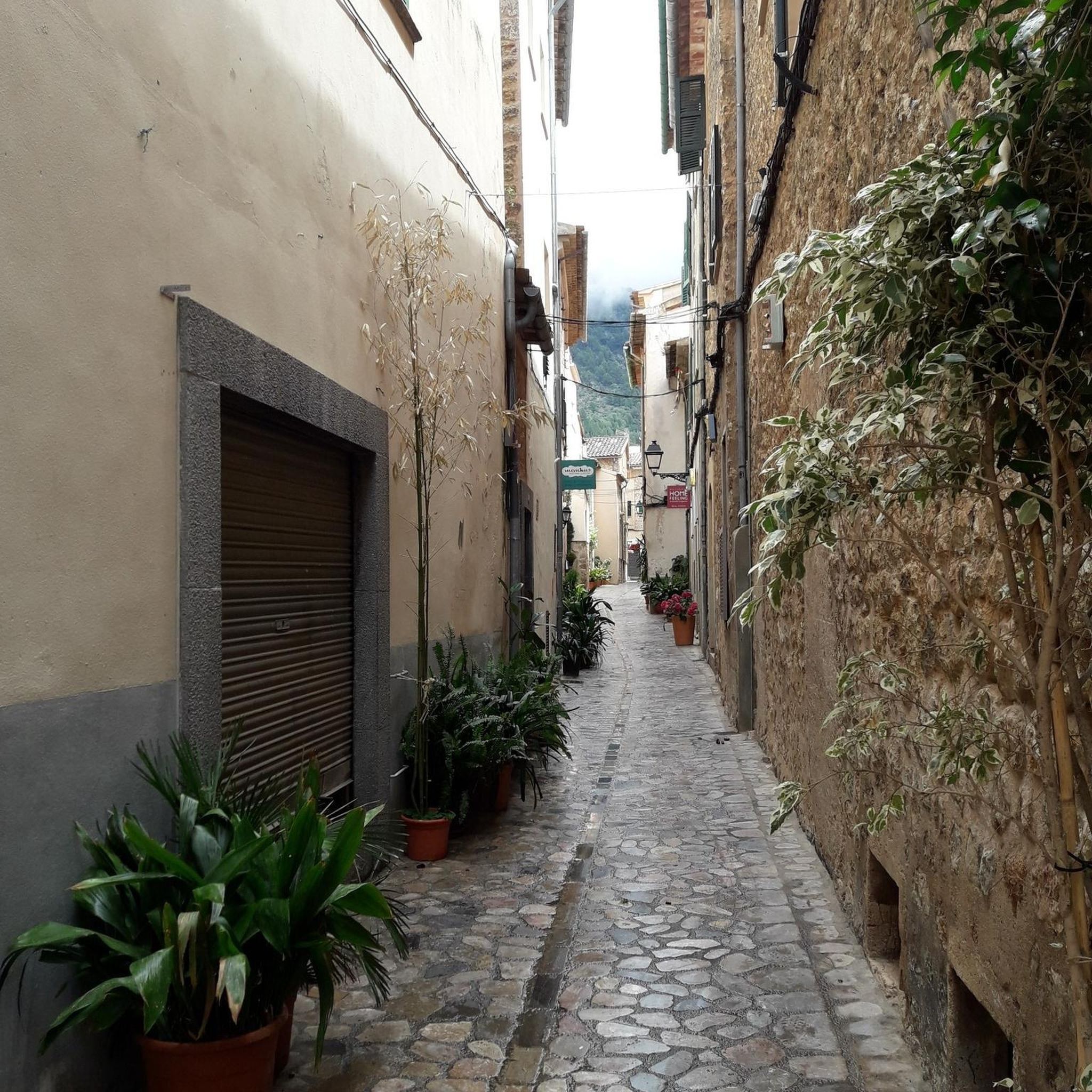
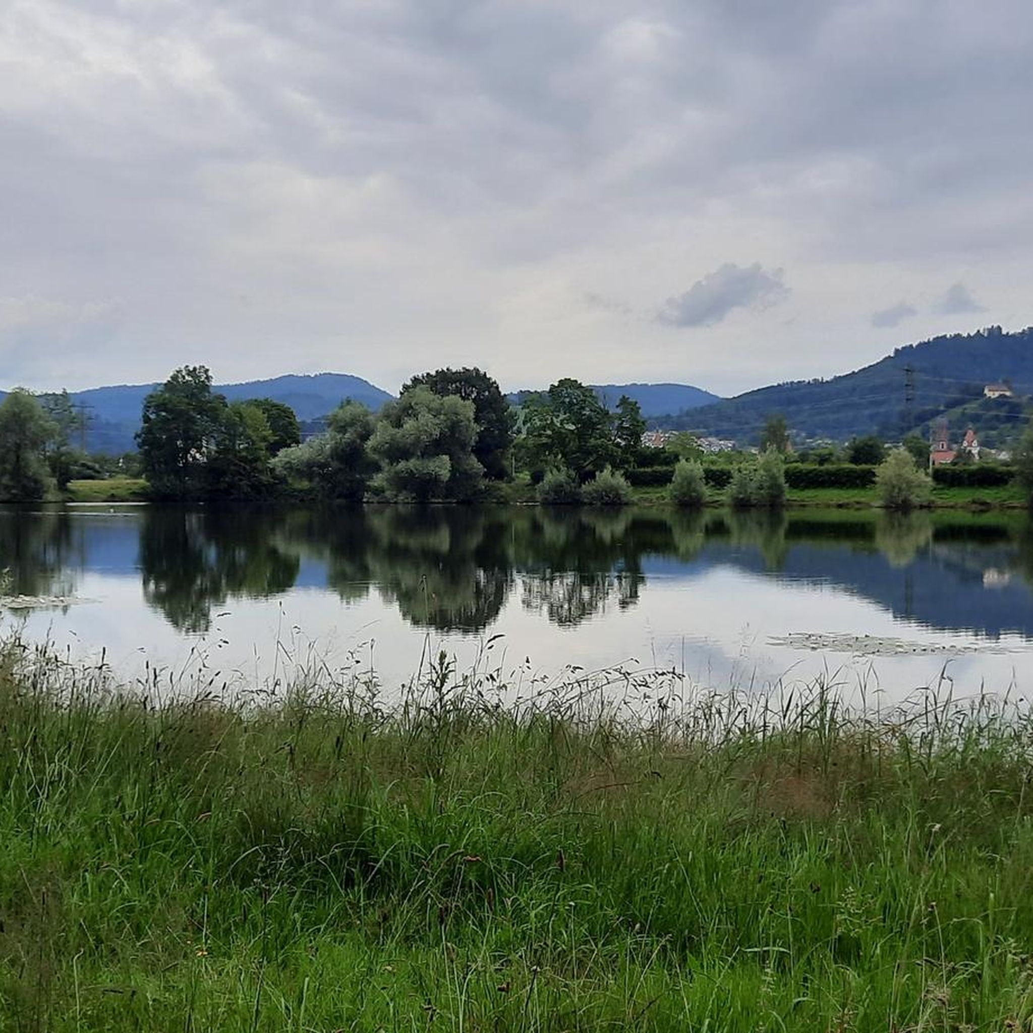
Tips from the Community

There is a wine bar at the cross at the top of Calmont. Taste the wines of Calmont where they are grown. Enjoy the sparkling Riesling wines that are grown here, with homemade cakes and small snacks. The panoramic view of the steepest vineyard in Europe and the Mosel loop is included for free.
3
0

It's beautiful up here, with a bit of luck you can watch paragliders taking off.
4
0

Always touch summits when reaching the top☺️😃👌
3
1

You can also take shelter here if you are surprised by a rain shower.
5
0

Please be kind, there is an official Moselle webcam up here that sends pictures to the Internet, so smile 😀
3
0

From this vantage point you have one of the best valley views of the Moselle loop.
76
0
The Calmont is a prominent peak on the Moselle. The highest elevation is 380 meters high. Interestingly, the Calmont summit cross is not at the highest point, but below it. This may be because the Calmont is a ridge above the Moselle. The location of the summit cross offers a prominent view of the Moselle - better than from the highest point. Therefore, the summit cross makes much more sense at this point. Source: https://www.calmont-klettersteig-moselschleife.de/calmont/
78
0
A covered, clean rest area with a great view again.
57
1
Frequently Asked Questions
What kind of 'mountain peaks' can I expect to find around Hontheim?
Hontheim, located in the southern Volcanic Eifel, features an elevated landscape with dense forests and rolling hills rather than traditional towering mountain peaks. You'll discover 'wooded mountain ranges' and 'steep hillsides' that offer numerous scenic viewpoints and diverse hiking opportunities, especially near the Kondelwald forest and Bad Bertrich.
Where can I find the best panoramic views of the Moselle near Hontheim?
For breathtaking views of the Moselle, consider visiting the View of the Moselle Loop from Calmont Summit Cross, which offers a prominent perspective. Another excellent spot is the Panoramic view of the Moselle bend below the Calmont summit, providing one of the best valley views illustrating the region's unique blend of nature, culture, and landscape.
Are there challenging hiking trails or climbs near Hontheim?
Yes, the region offers challenging routes, particularly around the Calmont area. Highlights like the Todesangst Viewpoint involve a steep ascent, rewarding you with a beautiful vista. The Summit Cross at Burgen Klettersteig is also part of a challenging via ferrata, offering great views from a steep location.
What are some popular hiking trails around Hontheim?
The area is well-regarded for its hiking trails. You can explore routes like the 'HeimatSpur Waterfall Experience Route' for a difficult hike, or the 'HeimatSpur Ritter-Räuber-Römer' for an easier option. Many trails, including those around Bad Bertrich, highlight great views and diverse natural environments. For more options, check out the Hiking around Hontheim guide.
Are there easy or family-friendly hikes available near Hontheim?
Absolutely. For easier walks, consider routes like the 'HeimatSpur Ritter-Räuber-Römer' or the 'HeimatSpur Spazierweg Elfengrotte/Käsegrotte'. These trails are suitable for families and those seeking less strenuous options. You can find more easy routes in the Easy hikes around Hontheim guide.
What natural features can I expect to see while exploring the elevated terrain near Hontheim?
The elevated terrain around Hontheim, part of the Volcanic Eifel, is rich in natural beauty. You'll encounter dense forests, stream valleys, and diverse forest types. The landscape also features steep hillsides and offers insights into its volcanic past through its varied topography, providing a tranquil setting for nature lovers.
What do visitors particularly enjoy about the viewpoints near Hontheim?
Visitors frequently praise the stunning panoramic views, especially those overlooking the Moselle loop. Many highlights, such as the View of the Moselle and Neef from Petersberg, are appreciated for offering perspectives of both the journey completed and the upcoming landscape. The combination of natural beauty and cultural elements, like vineyards and historic sites, is often highlighted.
When is the best time of year to go hiking around Hontheim?
The region is beautiful throughout the year. Spring and summer offer lush green landscapes, while autumn brings vibrant colors to the vineyards and forests, making it a particularly scenic time for hiking. The tips from visitors suggest that May/June, when the vineyards are green, or when the vine leaves are glowing in bright colors, are excellent times to visit.
Are there opportunities for running or jogging near Hontheim's elevated areas?
Yes, the area provides various routes suitable for running. You can find moderate-difficulty trails such as the 'Immerath Maar loop from Strotzbüsch' or the 'Boot Tree – Benzenberg loop from Hontheim'. For more options, refer to the Running Trails around Hontheim guide.
What kind of geological characteristics define the landscape around Hontheim?
Hontheim is situated in the Volcanic Eifel, meaning its landscape is shaped by unique geological characteristics. While not featuring prominent volcanic cones, the region's varied topography, including elevated terrain, rolling hills, and deep-cut river valleys like the Moselle, reflects its volcanic past and the ongoing geological processes that formed the Rhenish Slate Mountains.
Can I find rest areas or cafes near the hiking trails around Hontheim?
Yes, some viewpoints and trails offer convenient rest areas. For instance, near the Todesangst Viewpoint, there is a covered, clean rest area with a great view. While specific cafes directly on mountain walks are not detailed, the nearby town of Bad Bertrich (only 3 km away) and other villages in the region would offer dining options.
Most popular routes around Hontheim
Most popular attractions around Hontheim

Get inspired with the komoot mobile app


Explore more
See even more amazing summits around Hontheim with these guides:
