The best walks and hikes in Sanginjoen Ulkometsä
4.5
(91)
1,074
hikers
45
hikes
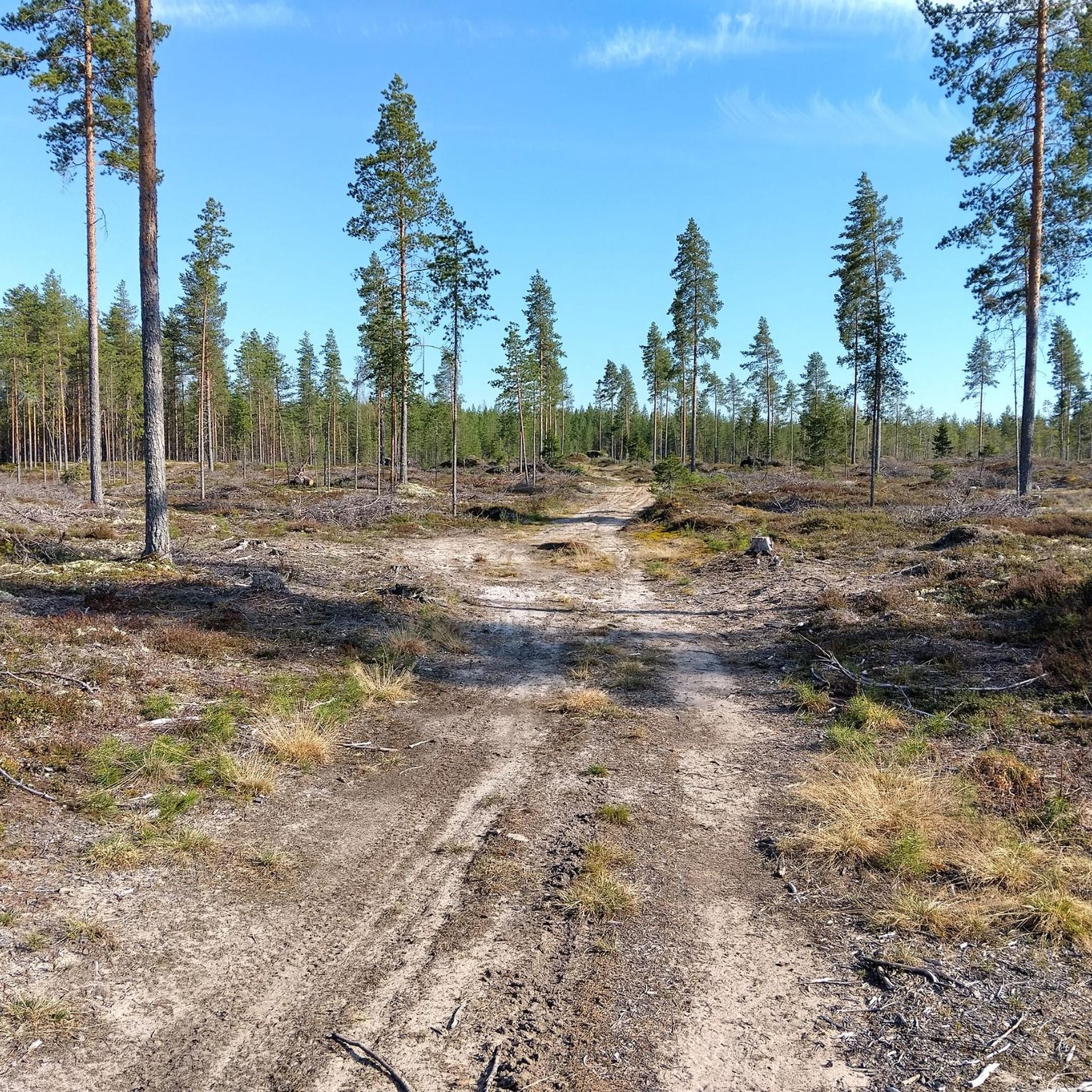
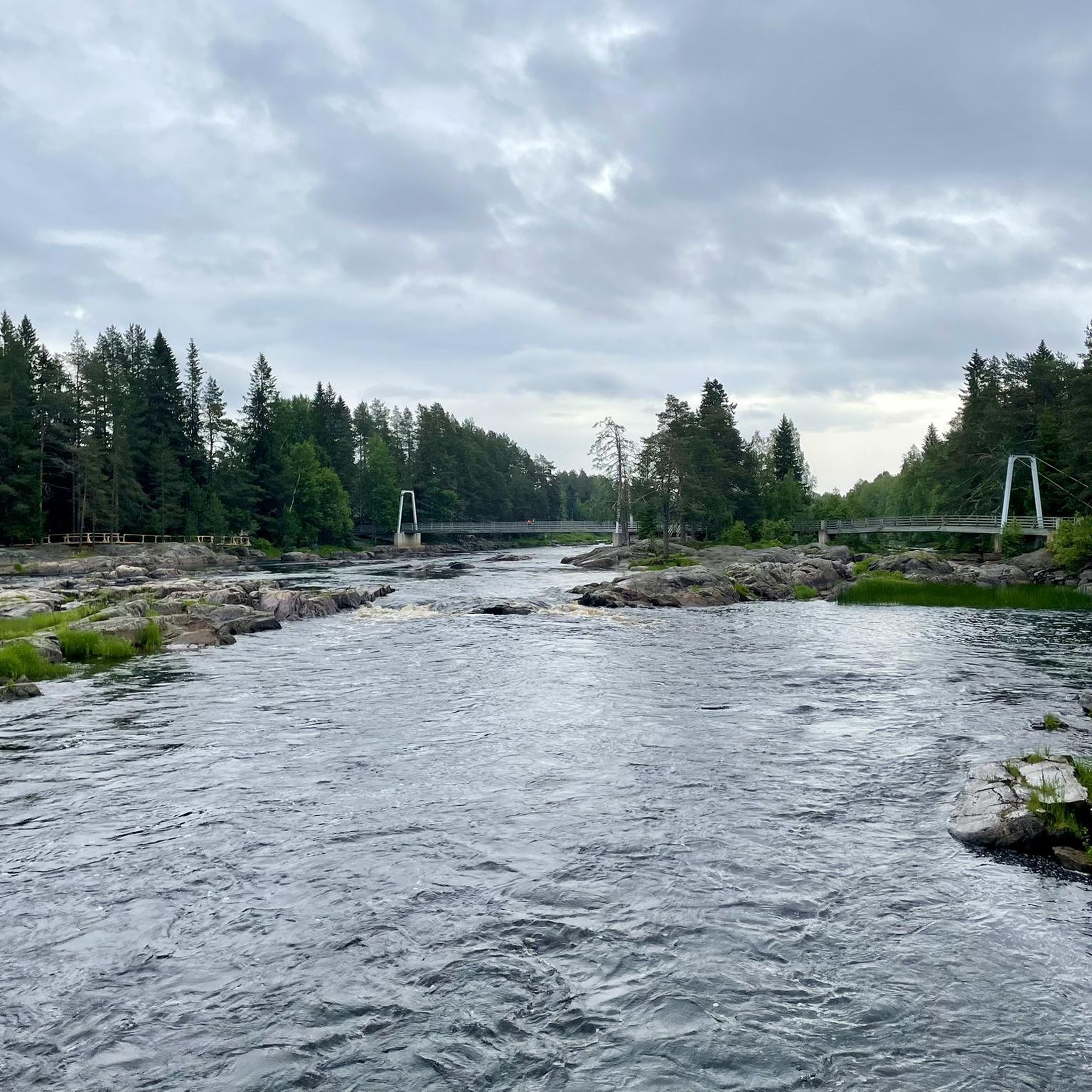
Hiking in Sanginjoen Ulkometsä offers a diverse natural escape approximately 20 kilometers from Oulu city center. The region is characterized by varied forests, including old-growth spruce and lichen-covered pine heaths, alongside winding rivers like the Sanginjoki and Kalimeenoja. Geological formations such as the dry esker heaths of Isokangas, which includes Takaharju hill, contribute to the varied terrain. This area provides a well-maintained network of trails suitable for different activity levels.
Best hiking trails in Sanginjoen Ulkometsä
- The most popular hiking…
Last updated: August 31, 2026
4.6
(12)
74
hikers
11.8km
03:02
50m
50m
Moderate hike. Good fitness required. Easily-accessible paths. Suitable for all skill levels.
4.8
(5)
71
hikers
Easy hike. Great for any fitness level. Easily-accessible paths. Suitable for all skill levels.

Sign up for free
4.6
(5)
62
hikers
5.53km
01:24
20m
20m
Easy hike. Great for any fitness level. Easily-accessible paths. Suitable for all skill levels.
5.0
(2)
10
hikers
Moderate hike. Good fitness required. Easily-accessible paths. Suitable for all skill levels.
4.8
(4)
67
hikers
5.96km
01:32
20m
20m
Easy hike. Great for any fitness level. Easily-accessible paths. Suitable for all skill levels.
Get access to more routes and recommendations from other explorers.
Sign up for free
Already have an account?
Our route recommendations are based on thousands of hikes, rides, and runs completed by other people on komoot.
Start today with a free account
Your next adventure awaits.
Login or Signup

Tips from the Community

One of the typical cabins you'll find near official forest trails. It offers hikers a simple shelter and a welcoming pause in the middle of nature. A larger stream flows nearby.
0
0


Here you get useful information about hiking tours in the area.
0
0

Partly old, partly new hiking trail. Easy to walk as the path surface is paved with gravel.
0
0
Lavvu demolished, doesn't exists any more. Forest adminstration is building new one on lake side.
0
0

A typical lavuu, protected from three sides, one side open and a roof. Here you can rest and prepare some food.
2
0

Exhausting and partly swampy path. But great trail.
0
0
Frequently Asked Questions
How many hiking trails are available in Sanginjoen Ulkometsä?
Sanginjoen Ulkometsä offers a wide network of trails, with over 45 hiking routes available on komoot. These range from easy strolls to more challenging moderate hikes, catering to various fitness levels.
Are there any easy or accessible trails suitable for beginners or families?
Yes, Sanginjoen Ulkometsä has many easy trails. The region features accessible routes like the Loppula Elämyspolku, a 1.9 km graveled trail along the Sanginjoki River. For a slightly longer easy option, consider the View of the Pond – Wooden Pathway Through Forest loop from Sanginjoki, which is about 5.3 km.
What kind of natural features can I expect to see while hiking?
You'll encounter diverse landscapes, including old-growth spruce forests, lichen-covered pine heaths, and dry esker heaths. The winding Sanginjoki River and Kalimeenoja River are prominent features, along with various ponds and springs. The area is also known for its rich biodiversity, including rare bird species.
Are there any circular hiking routes in Sanginjoen Ulkometsä?
Yes, the area is well-suited for circular walks. Popular options include the Kalimeenlenkki Loop (around 6 km) which follows the Kalimeenoja River, and the longer Isokankaan Kierros Trail (about 11.8 km) which explores diverse forests and geological features.
What do other hikers say about Sanginjoen Ulkometsä?
The trails in Sanginjoen Ulkometsä are highly rated by the komoot community, with an average score of 4.4 stars from over 60 reviews. Hikers often praise the diverse natural environment, the well-maintained paths, and the peaceful atmosphere of the forests and riverbanks.
Are there designated resting spots or campfire sites along the trails?
Yes, hikers will find simple shelters, traditional lavuus (lean-to shelters), and four designated campfire sites within the reserve. Two of these campfire sites are accessible, providing convenient places to rest and enjoy the surroundings.
Is Sanginjoen Ulkometsä suitable for dog walking?
While the region is generally welcoming to outdoor enthusiasts, specific regulations for dogs can vary. It's always best to keep dogs on a leash to protect the local wildlife, especially during nesting seasons, and to check for any specific signage regarding pets in certain areas of the nature reserve.
How can I reach Sanginjoen Ulkometsä using public transport?
Sanginjoen Ulkometsä is located approximately 20 kilometers from Oulu city center. While there might be local bus services that go near the area, direct public transport to specific trailheads can be limited. It's advisable to check local Oulu transport schedules for the most up-to-date information on routes and stops closest to the reserve.
Are there any notable viewpoints or high points in the area?
Yes, Isokangas features dry lichen heaths, and its Takaharju, rising to about 90 meters, is one of Oulu's highest points, offering potential views over the surrounding landscape.
What is the best time of year to go hiking in Sanginjoen Ulkometsä?
Sanginjoen Ulkometsä offers different experiences throughout the year. Spring and autumn provide vibrant colors and pleasant temperatures, while summer is ideal for longer days. Winter hiking and snowshoeing are also popular, offering a serene, snow-covered landscape. Always check local weather conditions before your visit.
Are there any longer, more challenging routes for experienced hikers?
For those seeking a longer, moderate challenge, the Isokangas Shelter – Lake in Finland loop from Kinnunen is a good option. This route is approximately 17.7 km long and takes you through varied terrain, including some of the higher points in the area.
Where can I park my car when visiting Sanginjoen Ulkometsä?
The nature reserve has several entry points, and designated parking areas are available at key trailheads. It is recommended to check specific access points and parking facilities on local maps or visitor information before your trip to ensure convenient access to your chosen starting point.
Most popular routes in Sanginjoen Ulkometsä

Get inspired with the komoot mobile app


Explore more
Browse the best Hikes in other regions.
