The best road cycling routes in Bokö-Oxnö
73
riders
5
rides
Road cycling routes in Bokö-Oxnö navigate a region characterized by hilly and rocky terrain, with significant portions covered by old-growth forests and undeveloped landscapes. The area's natural features include steep shores and a protected status as part of the Natura 2000 ecological network. While the island itself is largely wild and accessed primarily by boat, the surrounding area offers specific routes for road cyclists.
Best road cycling routes in Bokö-Oxnö
- The most popular road cycling route is Scenic Rural Road…
Last updated: July 9, 2026
20
riders
90.5km
03:49
560m
560m
Moderate road ride. Good fitness required. Some segments of this route may be unpaved and difficult to ride.
9
riders
48.5km
01:56
250m
250m
Easy road ride. Great for any fitness level. Mostly well-paved surfaces and easy to ride.

Sign up for free
3
riders
79.6km
03:29
490m
490m
Moderate road ride. Good fitness required. Mostly well-paved surfaces and easy to ride.
24
riders
35.6km
01:33
190m
190m
Moderate road ride. Great for any fitness level. Some segments of this route may be unpaved and difficult to ride.
17
riders
61.7km
02:38
390m
390m
Moderate road ride. Good fitness required. Some segments of this route may be unpaved and difficult to ride.
Our route recommendations are based on thousands of hikes, rides, and runs completed by other people on komoot.
Start today with a free account
Your next adventure awaits.
Login or Signup
Popular around Bokö-Oxnö
Tips from the Community

Along the canal you can walk through the village and beyond
1
0

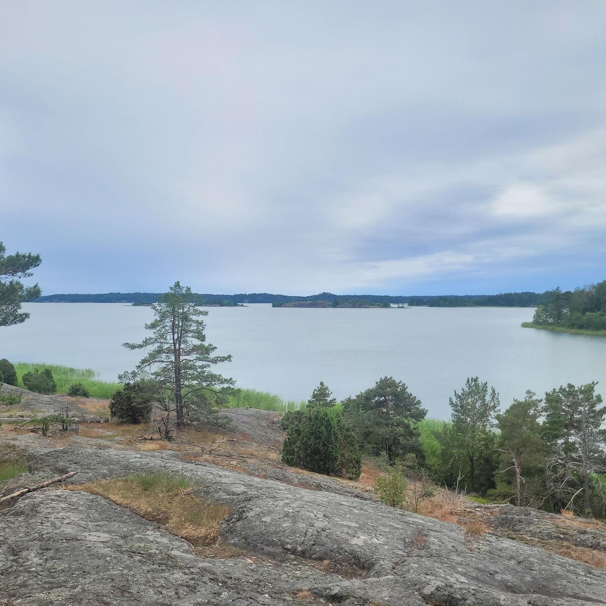
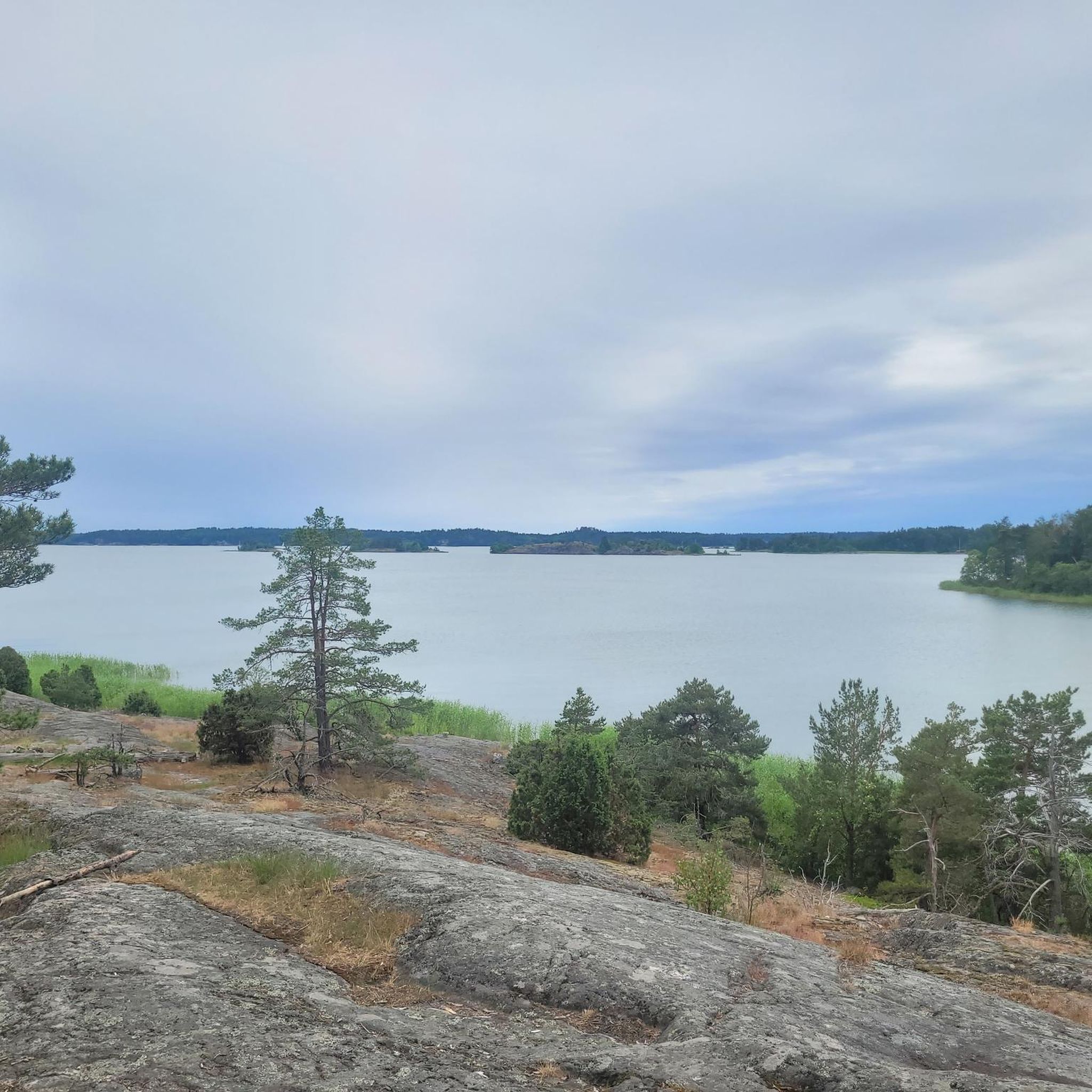
A beautiful view of the bare rocks along the path
0
0
Considering that I actually wanted to drive along the Baltic coast, after 18 km I see water for the first time. It is Lake Runnviken.
1
0

The place name is probably derived from the Old Icelandic word trauŏur (sluggish, ponderous) and refers to the calm and slow flow of the Trosaån River.
4
0

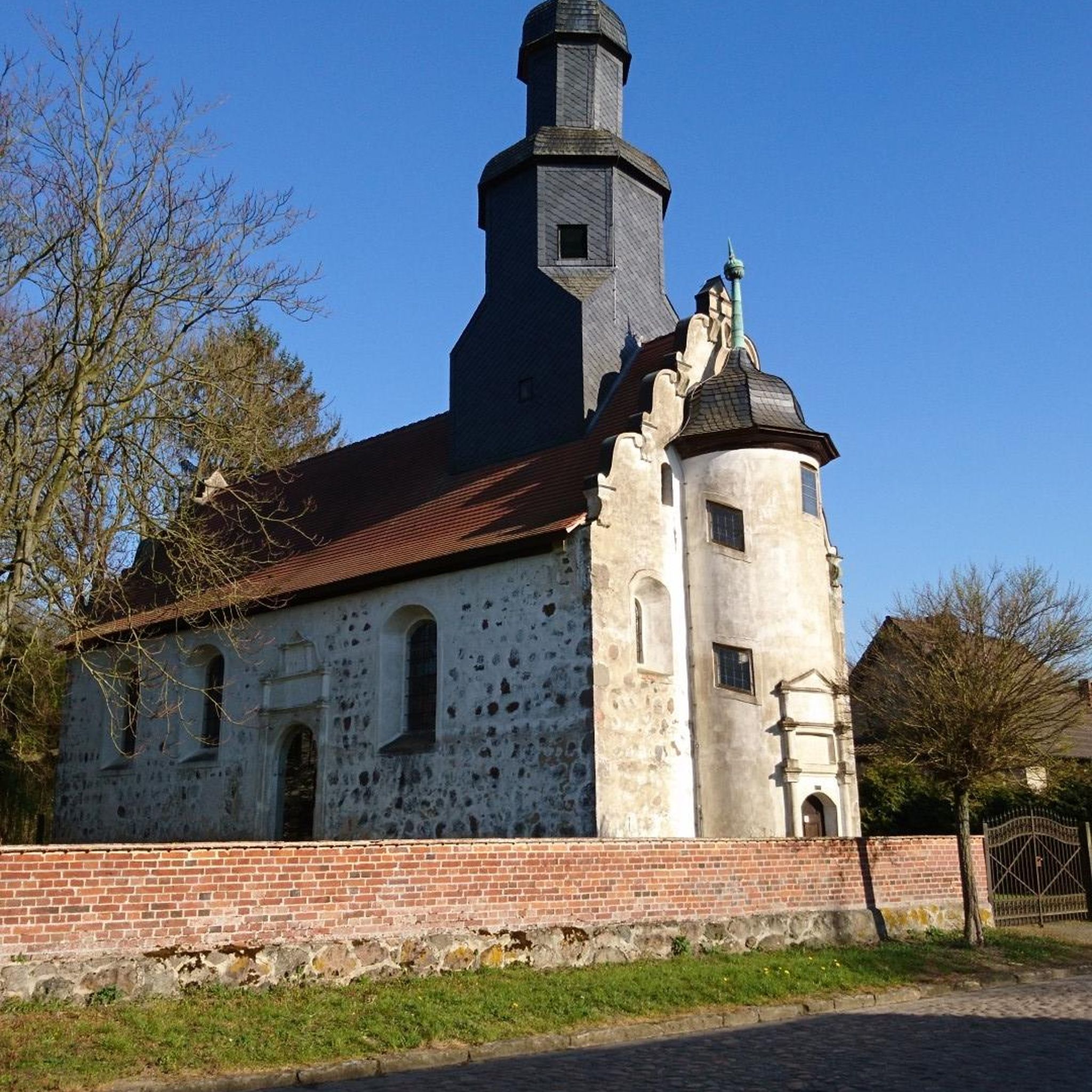
Beautiful castle with a very good restaurant.
0
0

The river Trosaån crosses the town of Trosa here, in the historic province of Södermanland. The city is the capital of the municipality of the same name. You can use the very idyllic path along the river to the mouth of the Baltic Sea for a break, perhaps with an ice cream or coffee and cake. Trosa is also known as the "end of the world", although the origin of this epithet is unclear.
0
0

Frequently Asked Questions
Is Bokö-Oxnö island suitable for road cycling?
Bokö-Oxnö island itself is not suitable for road cycling. It is characterized by steep shores, largely untouched old-growth forests, and rugged, hilly terrain, making it difficult to traverse on paved roads. Access to the island is primarily by boat, further indicating its wild and undeveloped nature. The road cycling routes mentioned in this guide are located in the surrounding area, offering views and experiences related to the region.
What kind of terrain can I expect on road cycling routes near Bokö-Oxnö?
The road cycling routes in the region surrounding Bokö-Oxnö feature varied terrain, including rural roads, lake views, and coastal sections. You can expect hilly sections, with some routes like the Scenic Rural Road Near Trosa – View of Lake Runnviken loop from Tomtaklintskogen offering an elevation gain of over 1800 feet (558 meters).
How many road cycling routes are available in the Bokö-Oxnö region?
There are 5 road cycling routes detailed in this guide for the Bokö-Oxnö region. These routes offer options for different ability levels, including one easy route and four moderate routes.
Are there any easy road cycling routes near Bokö-Oxnö?
Yes, there is one easy road cycling route available in the region. The Svartkolsberget loop from Trosalund is an easy 30.1 miles (48.5 km) path with an elevation gain of approximately 823 feet (251 meters).
Are there circular road bike routes available in the area?
Yes, all the road cycling routes listed in this guide are circular loops. Examples include the Scenic Rural Road Near Trosa – View of Lake Runnviken loop from Tomtaklintskogen and the Trosa Harbor – Nynäs Castle loop from Södra Östermalm.
What are some notable landmarks or features along the road cycling routes?
While Bokö-Oxnö island itself has landmarks like Julaftons Fyr and an old sea mark, these are not accessible by road bike. However, routes in the surrounding area offer other points of interest. For instance, the Trosa Harbor – Nynäs Castle loop from Södra Östermalm offers views of the coastline and passes historical landmarks, while the Sillesjön Lake – Trosa Harbor loop from Tureholm leads past Sillesjön Lake.
What is the longest road cycling route in the Bokö-Oxnö region?
The longest road cycling route featured in this guide is the Scenic Rural Road Near Trosa – View of Lake Runnviken loop from Tomtaklintskogen, which spans 56.2 miles (90.5 km) and typically takes around 3 hours 48 minutes to complete.
Are there any routes that offer coastal views?
Yes, the Trosa Harbor – Nynäs Castle loop from Södra Östermalm is a moderate 49.3 miles (79.3 km) path that specifically offers views of the coastline, combining natural beauty with historical points of interest.
Can I find routes that pass by lakes?
Absolutely. The Sillesjön Lake – Trosa Harbor loop from Tureholm is a 38.4 miles (61.8 km) trail that leads through rural landscapes and directly past Sillesjön Lake, offering scenic waterside cycling.
What is the typical duration for these road cycling routes?
The routes vary in length and duration. For example, the easy Svartkolsberget loop from Trosalund takes about 1 hour 56 minutes, while the longer Scenic Rural Road Near Trosa – View of Lake Runnviken loop from Tomtaklintskogen typically requires around 3 hours 48 minutes.
Are there any routes that explore the Trosa area?
Several routes explore the Trosa area. The Trosa Harbor – Nynäs Castle loop from Södra Östermalm starts near Trosa, and the Sillesjön Lake – Trosa Harbor loop from Tureholm also includes Trosa Harbor, offering a chance to experience this charming coastal town.

Get inspired with the komoot mobile app


Explore more
Browse the best Road cycling routes in other regions.
