The best MTB trails in Bräntings Haid
4.8
(5)
31
riders
6
rides
Mountain bike trails in Bräntings Haid traverse a distinctive landscape on the Swedish island of Gotland. The region features a mosaic of low-growing pine forests, treeless moist heaths, and unique alvar (limestone pavement) areas. This diverse topography provides varied riding surfaces, from natural rock features in alvar to softer forest floors. The terrain offers a range of conditions for mountain bikers seeking different experiences.
Best mountain bike trails in Bräntings Haid
- The most popular mountain bike trail is The Dog…
Last updated: June 28, 2026
4.5
(4)
17
riders
77.7km
04:49
200m
200m
Moderate mountain bike ride. Good fitness required. Advanced riding skills necessary.
6
riders
35.1km
02:18
90m
90m
Moderate mountain bike ride. Good fitness required. Suitable for all skill levels.

Sign up for free
5.0
(1)
2
riders
39.7km
02:43
120m
120m
Moderate mountain bike ride. Good fitness required. Suitable for all skill levels.
2
riders
24.5km
01:39
80m
80m
Easy mountain bike ride. Great for any fitness level. Suitable for all skill levels.
1
riders
34.8km
02:15
110m
110m
Moderate mountain bike ride. Good fitness required. Suitable for all skill levels.
Our route recommendations are based on thousands of hikes, rides, and runs completed by other people on komoot.
Start today with a free account
Your next adventure awaits.
Login or Signup


Tips from the Community

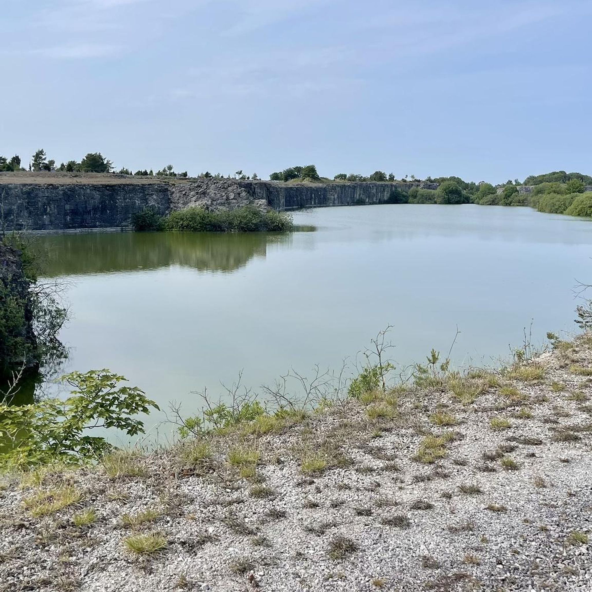
Beautiful rocky cliff to enjoy during your hike.
0
0

While you hike along the Strandvägen, take a moment to embrace the scenic view of the Baltic Sea. If you are lucky, the bright yellow ferry arrives or leaves for the island of Fårö or Gotska Sandön.
1
0
Fårösund is a picturesque coastal town close to the island of Fårö, which captivates with its quiet beauty and proximity to nature. You can walk along the coast, explore historical sites and enjoy impressive views of the Baltic Sea. The town has a small café, a restaurant and – of course – the famous Swedish cinnamon buns!
2
0

A true natural spectacle can be seen on the islands of Gotland and Fårö. The Raukar - or Raukensteine - delight naturalists and geologists, but also inspire artists such as Ingmar Bergman, who made his home on the Swedish Baltic islands. There is something mystical about the rock formations, which originated in the tropical climate of the Silurian period 400 million years ago. The coral reefs of that time gave rise to a limestone plateau, which gave Gotland a unique landscape and flora. Last but not least, the Raukensteine are impressive evidence of the fact that Gotland's nature is still very different from that of Sweden today. The Raukar were formed by the washing out and erosion of soft rock layers over millions of years. The elements raged particularly along the coastal areas and literally rubbed the stone away. What remained are hard pieces of limestone that form bizarre shapes and figures. In various areas of Gotland, entire "raukar fields" invite you to take a walk through the history of the earth. The raukar, which can be up to ten meters high, are not only found on the border between land and sea - remarkable stone colossi can also be discovered further inland. Because people have always viewed the raukar with imagination and superstition, many of the stone formations have been "baptized". For example, "the dog", "the maiden", "the old man" and "the gate" can be found scattered across the islands. Even the botanist Carl von Linné saw "ghosts and devils" in the stone steles by the sea in the 18th century. https://schwedenstube.de/mystisch-und-bizarr-die-raukar-auf-gotland/
2
0

One of the main destinations on Fårö.
1
2
One of the classic destinations on Fårö: the “Dog” rock formation/rock.
1
0

A historic fishing station (Fiskeläge) with old huts and boats gives an impression of the work of former fishermen.
1
0
Frequently Asked Questions
How many mountain bike trails are available in Bräntings Haid?
You'll find a selection of 6 mountain bike trails in Bräntings Haid. These routes traverse the region's unique alvar landscapes, low-growing pine forests, and moist heaths, offering diverse riding experiences.
What is the best time of year to go mountain biking in Bräntings Haid?
The varied terrain of Bräntings Haid, with its alvar and moist heaths, means trail conditions can change with the seasons. While specific recommendations depend on personal preference, generally, spring and autumn offer pleasant temperatures and potentially firmer ground. Winter riding might be possible but could involve more challenging conditions due to moisture.
Are there any easy mountain bike trails suitable for beginners in Bräntings Haid?
Yes, Bräntings Haid offers routes suitable for various skill levels. For beginners, the Ar Harbor – Blue Lagoon loop from Blå Lagunen is an easy 15.2-mile (24.5 km) trail that takes about 1 hour 38 minutes to complete, providing a gentle introduction to the area's landscapes.
Are there any loop trails for mountain biking in Bräntings Haid?
Many of the mountain bike trails in Bräntings Haid are designed as loops, allowing you to start and finish at the same point. For example, the Blue Lagoon – Blue Lagoon loop from Blå Lagunen is a moderate 21.9-mile (35.3 km) path that offers scenic views and a circular route.
What kind of terrain can I expect on the mountain bike trails in Bräntings Haid?
The terrain in Bräntings Haid is quite diverse. You'll encounter unique alvar (limestone pavement) areas with natural rock features, sections through low-growing pine forests offering sheltered singletrack, and treeless moist heaths. This mosaic provides a varied and technically interesting riding experience.
What do other mountain bikers say about the trails in Bräntings Haid?
The mountain bike routes in Bräntings Haid are highly rated by the komoot community, with an average score of 4.8 stars from 5 reviews. Riders often praise the varied landscapes, from the unique alvar to the peaceful pine forests, and the diverse conditions that make for an engaging ride.
Are there any moderate mountain bike trails in Bräntings Haid?
Yes, the majority of trails in Bräntings Haid are rated as moderate. An example is the Bunge Church – Ar Harbor loop from Bunge kyrka, which is a 39.9-mile (39.9 km) route that takes approximately 2 hours 44 minutes to complete, offering a good challenge for intermediate riders.
Is Bräntings Haid suitable for family-friendly mountain biking?
While the region is a nature reserve, the presence of easy-rated trails suggests that some routes could be suitable for families with older children or those comfortable with moderate distances. The Ar Harbor – Blue Lagoon loop from Blå Lagunen is an easy option that might be considered for a family outing.
Are dogs allowed on the mountain bike trails in Bräntings Haid?
As Bräntings Haid is a nature reserve, it's important to check local regulations regarding dogs. Generally, dogs are permitted on trails but must be kept on a leash to protect wildlife and the unique ecosystems. Always respect local signage and guidelines.
Where can I find parking for mountain biking in Bräntings Haid?
Specific parking information for Bräntings Haid mountain bike trails is not detailed in the route descriptions. However, many routes, such as the Ar Harbor – Bunge Church loop from Bunge kyrka, start from locations like Bunge kyrka, which typically have visitor parking facilities. It's advisable to check the starting point of your chosen route for available parking options.
Are there any particularly scenic mountain bike trails in Bräntings Haid?
The entire Bräntings Haid region is known for its distinctive natural beauty, including alvar landscapes and coastal views. The The Dog Raukar (Hundrauken) – Gamla Hamn Sea Stacks loop from Bunge kyrka, for instance, explores coastal areas and natural rock formations, offering memorable scenery.
Most popular routes in Bräntings Haid

Get inspired with the komoot mobile app


Explore more
Browse the best MTB trails in other regions.
