The best walks and hikes around Himmelried
4.6
(1249)
5,872
hikers
17
hikes
Hiking trails around Himmelried traverse a diverse landscape characterized by green forests, deep gorges, and the Kaltbrunnental Valley. The region features notable natural attractions such as the Chastelbach Waterfall and offers routes that lead to scenic viewpoints. Hikers can explore a network of trails ranging from gentle valley walks to more challenging ascents towards local peaks. This area provides varied terrain for outdoor activities within the canton of Solothurn, Switzerland.
Best hiking trails around Himmelried
- The most popular hiking route…
Last updated: October 1, 2026
4.7
(466)
1,456
hikers
Moderate hike. Good fitness required. Easily-accessible paths. Suitable for all skill levels.
4.3
(11)
33
hikers
13.1km
04:04
470m
470m
Moderate hike. Good fitness required. Easily-accessible paths. Suitable for all skill levels.

5.0
(4)
11
hikers
Moderate hike. Good fitness required. Easily-accessible paths. Suitable for all skill levels.
5.0
(1)
14
hikers
7.70km
02:16
220m
220m
Moderate hike. Good fitness required. Easily-accessible paths. Suitable for all skill levels.
4.0
(1)
6
hikers
6.13km
01:54
230m
230m
Easy hike. Great for any fitness level. Easily-accessible paths. Suitable for all skill levels.
Get access to more routes and recommendations from other explorers.
Already have an account?
Our route recommendations are based on thousands of hikes, rides, and runs completed by other people on komoot.
Start today with a free account
Your next adventure awaits.


Tips from the Community

Opening hours: Wednesday to Saturday 10 am to 10 pm Sunday 10 am to 7 pm Monday and Tuesday closed
0
0
Maya's Häxehüsli is open from May 1st to October 31st. Friday from 1:00 PM until sold out. Saturday and Sunday from 11:00 AM until sold out.
0
0

easily accessible cave with information board
2
0

Please note that the hiking trails along the railway line between Grellingen Chessiloch and Duggingen Lätten underpass are partially closed until further notice.
1
1

Maya's Häxehüsli is hidden in the forest. A simple but special restaurant
0
0
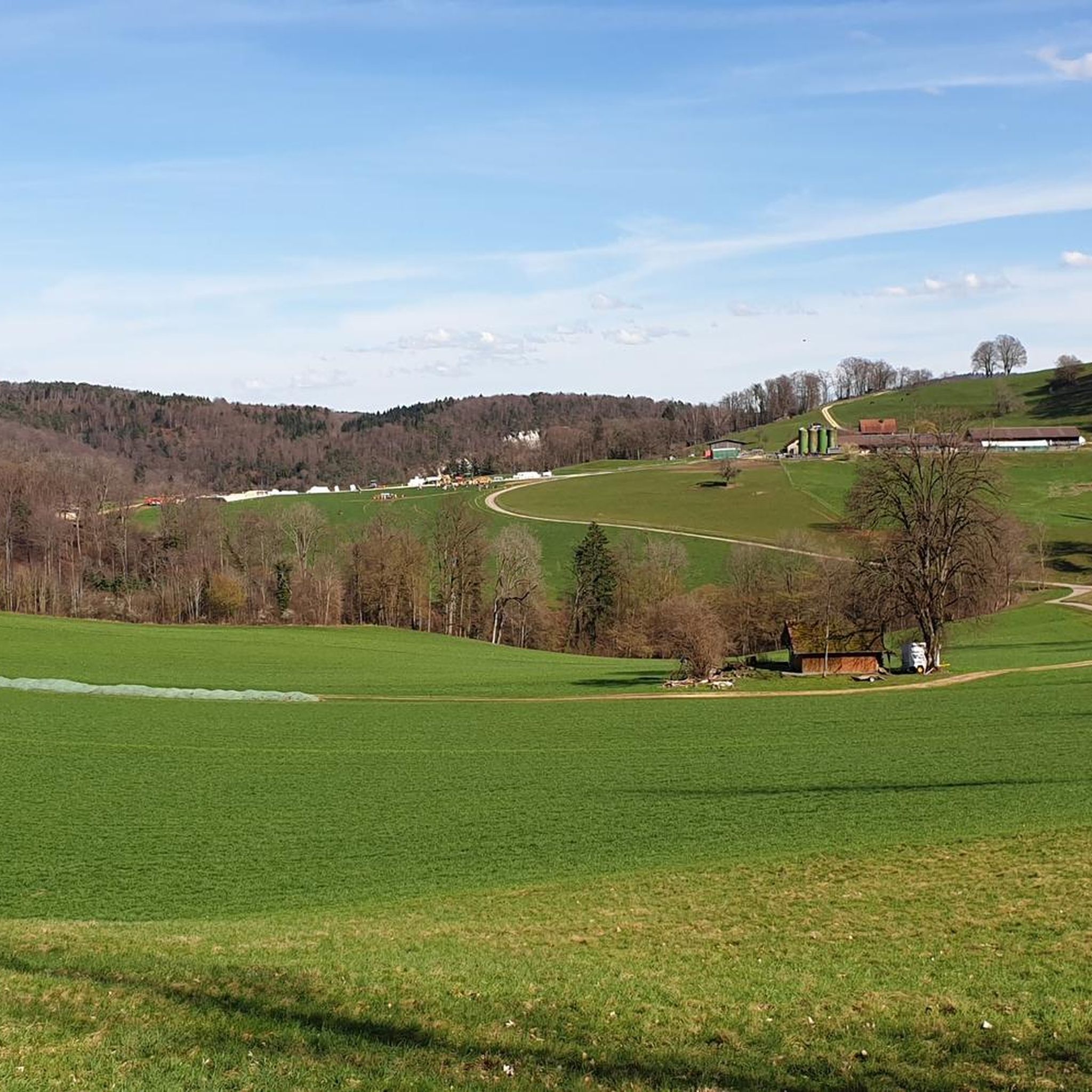
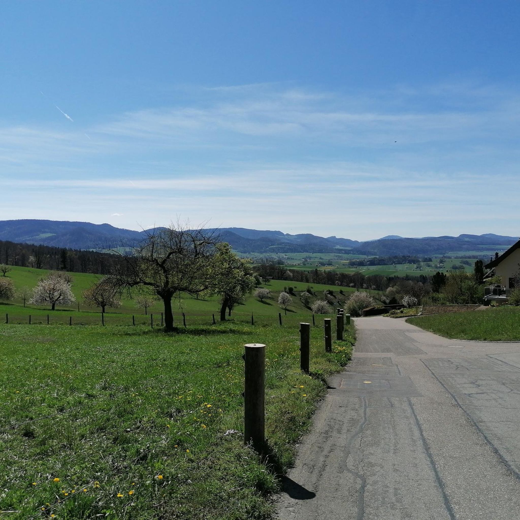
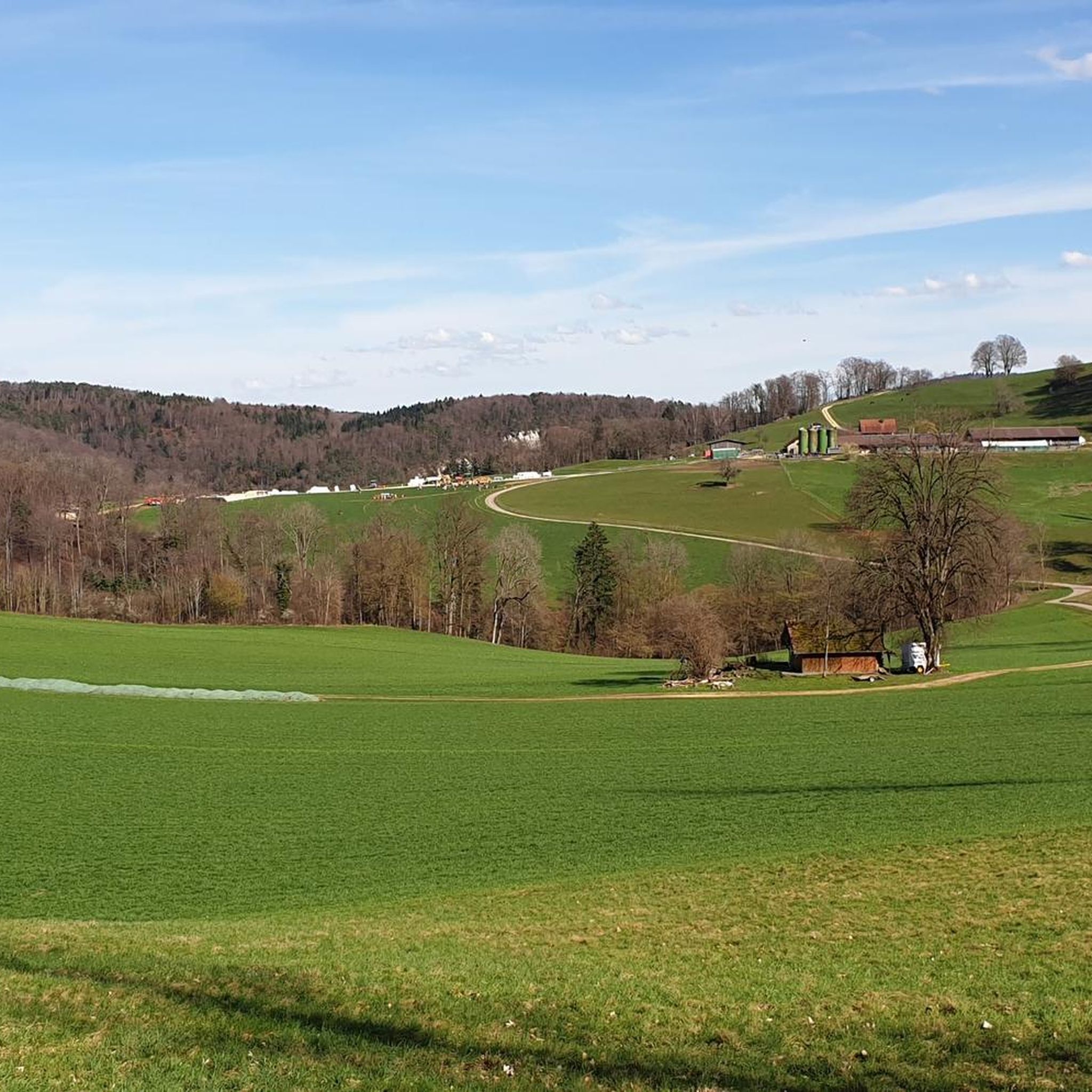
If you walk down Kaltbrunnentalstraße from Steffenplatz (belonging to the municipality of Himmelried), you have, at least in the upper part, this fantastic view of the Schwarzbubenland.
0
0
In addition to its scenic beauty, the Kaltbrunnental Valley is a great outdoor playground for families. The stream offers fun activities and children's canyoning, easy access to the water, and barbecue areas are available. A hot tip, especially in summer.
1
0
The Ibach Cave is a small karst spring cave located just a few steps above the hiking trail through the Kaltbrunnen Valley. It can be accessed according to the information board nearby.
0
0
Frequently Asked Questions
How many hiking trails are available in Himmelried?
Himmelried offers a diverse network of over 15 hiking trails, catering to various skill levels. These routes explore the region's green forests, deep gorges, and scenic viewpoints.
Are there hiking trails suitable for beginners or families in Himmelried?
Yes, Himmelried has several easy trails perfect for beginners and families. For instance, the Kaltbrunnental Waterfall – Chaltbrunnental barbecue area loop from Himmelried is an easy 3.8-mile (6.1 km) route that leads through the scenic Kaltbrunnental Valley, offering accessible water and barbecue areas ideal for a family outing.
What kind of terrain can I expect on hikes around Himmelried?
Hiking around Himmelried offers a varied landscape, from leisurely strolls through green forests and along streams in the Kaltbrunnental Valley to more challenging ascents towards local peaks. You'll encounter wild and romantic gorges, open viewpoints, and well-maintained paths.
Are there any hikes that feature waterfalls in Himmelried?
Absolutely. The Chastelbach Waterfall is a prominent natural attraction in the region. You can experience it on routes like the Chastelbach Waterfall – Kaltbrunnental Gorge loop from Amtei Dorneck-Thierstein, which explores the Kaltbrunnental Valley and features the waterfall.
Can I explore gorges or caves while hiking in Himmelried?
Yes, the region is known for its 'wild and romantic gorges,' including the Kaltbrunnental Gorge. You can explore this area on various trails, such as the Chastelbach Waterfall – Kaltbrunnental Gorge loop from Amtei Dorneck-Thierstein. For specific cave exploration, the area around Himmelried also features highlights like the Schalberg Cave.
Where can I find the best panoramic views in Himmelried?
For breathtaking panoramic views, consider hikes that ascend to local peaks. The Hohe Winde Summit is a notable highlight, offering extensive vistas of the region, including the Alps, Vosges mountains, and the Black Forest. The Welschgätterli Pass also provides impressive surroundings.
Are there any historical landmarks or points of interest along the hiking routes?
Yes, some routes incorporate historical elements. For example, the Shrine in the Rock – Historic Boundary Stone BL/SO loop from Himmelried offers a cultural dimension to your hike by passing historical landmarks. Other points of interest in the wider area include the Mariastein Monastery.
Are there circular walks available in Himmelried?
Many of the hiking trails in Himmelried are designed as circular routes, allowing you to start and end at the same point. Examples include the Chastelbach Waterfall Ascent – Chastelbach Waterfall loop from Himmelried and the Chastelbach Railway Underpass – Chastelbach Waterfall Ascent loop from Himmelried.
What do other hikers enjoy the most about hiking in Himmelried?
The hiking trails in Himmelried are highly rated by the komoot community, with an average score of 4.6 stars from over 1000 reviews. Hikers often praise the diverse landscapes, the beauty of the Kaltbrunnental Valley, and the well-maintained paths that lead to scenic viewpoints and natural attractions like the Chastelbach Waterfall.
Is Himmelried a good destination for dog-friendly hikes?
Himmelried's natural environment, with its green forests and stream-fed valleys like Kaltbrunnental, generally offers pleasant conditions for hiking with dogs. Many trails are suitable for well-behaved dogs on a leash, providing ample space to explore. Always ensure your dog is under control and respect local wildlife and regulations.
Are there any challenging hikes for experienced trekkers in Himmelried?
While many trails are moderate, Himmelried does offer routes with significant elevation gain for those seeking a challenge. Hikes leading to peaks like the Hohe Winde Summit can provide a more demanding experience, rewarding trekkers with extensive views. These routes often require good fitness and sure-footedness.
What is the best time of year to go hiking in Himmelried?
Himmelried is enjoyable for hiking throughout much of the year. Spring and autumn offer pleasant temperatures and vibrant scenery, while summer provides lush green forests and opportunities to enjoy the water features in the Kaltbrunnental Valley. Some trails may also be suitable for winter hiking, though conditions can vary and require appropriate gear.
Most popular routes around Himmelried
Most popular attractions around Himmelried

Get inspired with the komoot mobile app


Explore more
Browse the best Hikes in other regions.
