The best road cycling routes in Herrestadsfjällets Naturreservat Ii
4.5
(5)
302
riders
34
rides
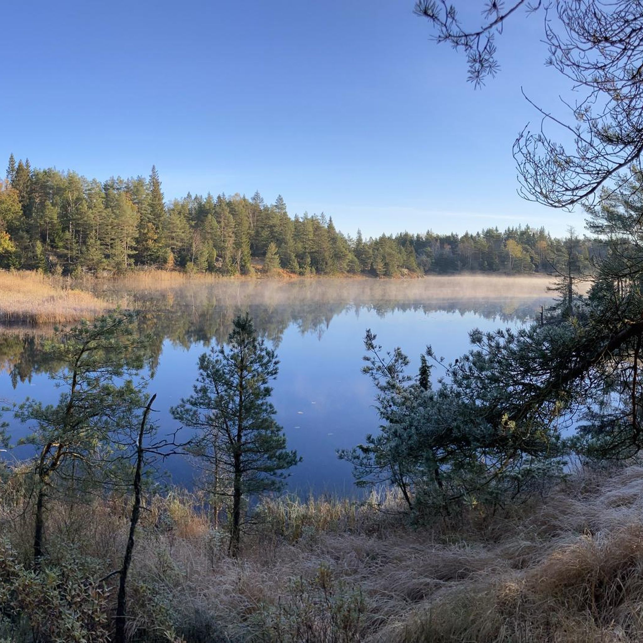
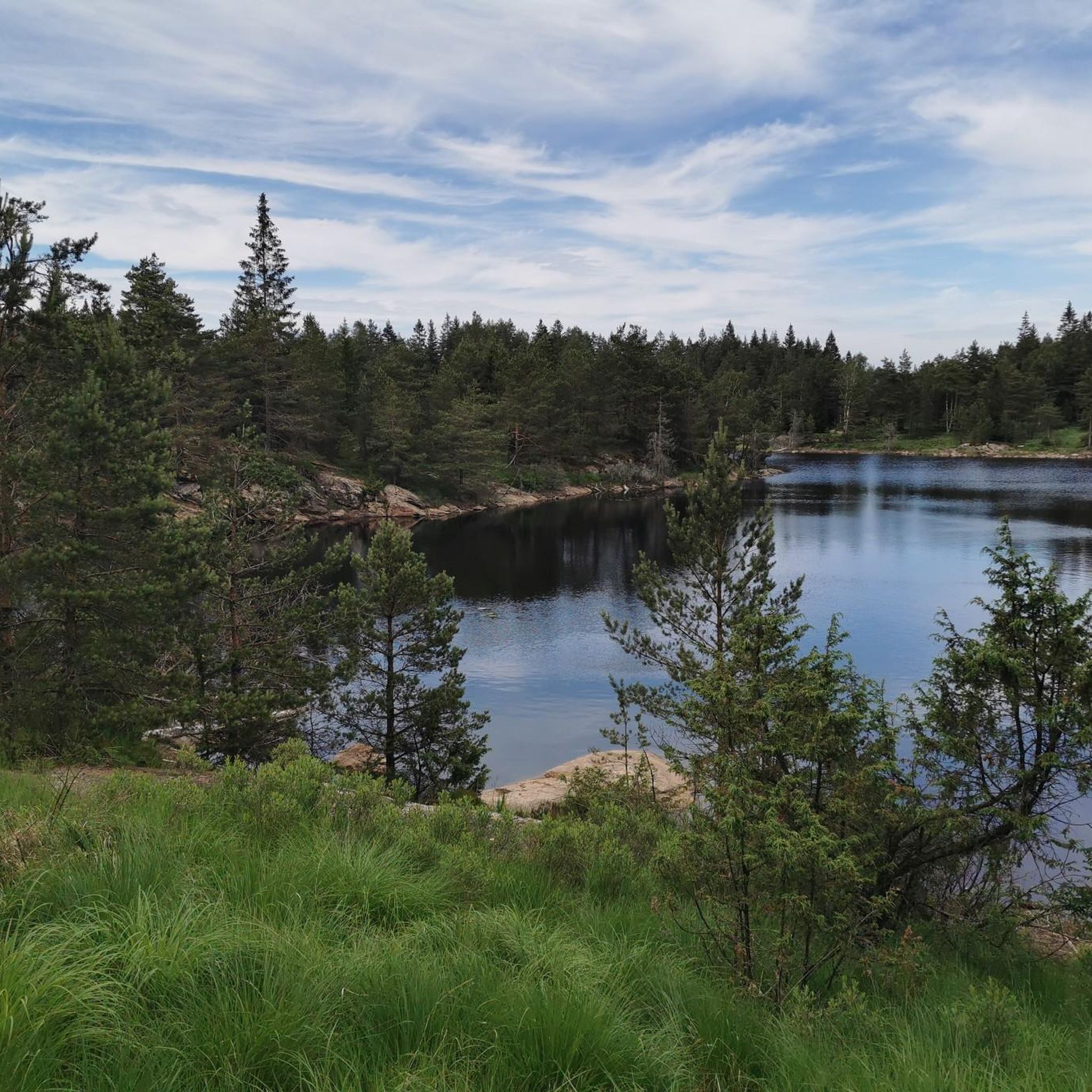
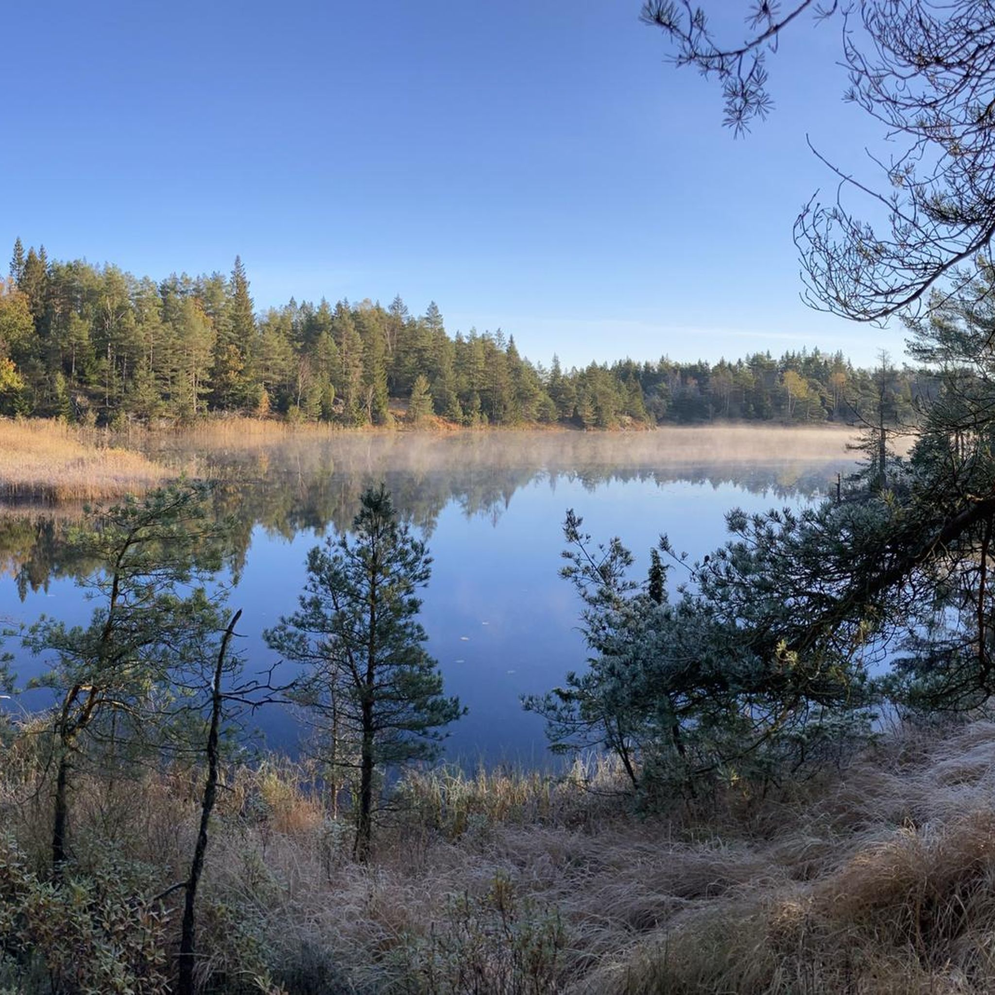
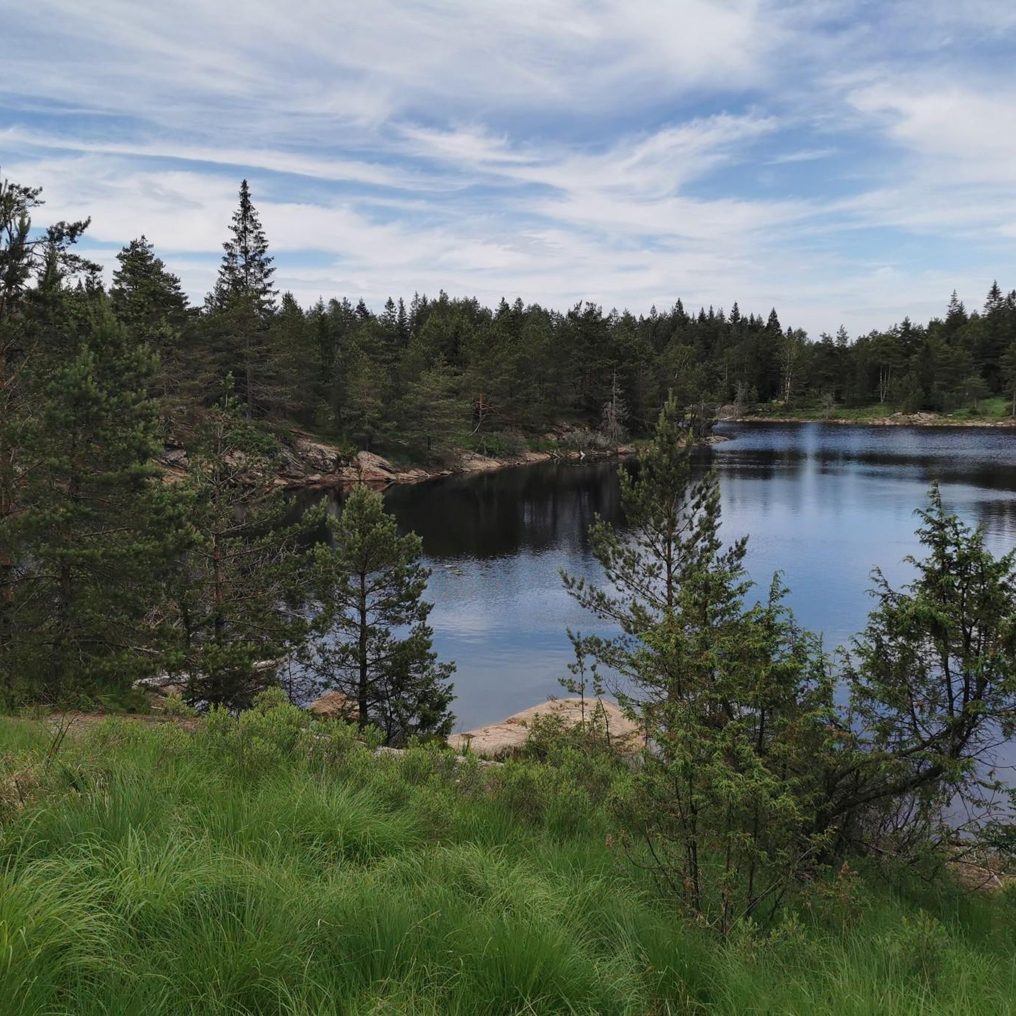
Road cycling in Herrestadsfjällets Naturreservat Ii offers diverse terrain across a mosaic landscape of forests, lakes, and bedrock outcrops. The region features an undulating central area, reaching nearly 177 meters above sea level, which contributes to varied elevation changes suitable for road cyclists. Paved surfaces are common, making the area accessible for road bikes. This natural reserve provides a mix of environments, from moist heaths to areas with significant bedrock, creating a dynamic backdrop for cycling.
Best road cycling routes…
Last updated: July 9, 2026
5.0
(1)
11
riders
27.7km
01:15
200m
200m
Easy road ride. Great for any fitness level. Mostly well-paved surfaces and easy to ride.
5.0
(2)
41
riders
57.0km
02:59
530m
530m
Moderate road ride. Good fitness required. Some segments of this route may be unpaved and difficult to ride.

Sign up for free
23
riders
96.4km
04:57
770m
770m
Moderate road ride. Good fitness required. Some segments of this route may be unpaved and difficult to ride.
6
riders
79.0km
04:09
520m
520m
Moderate road ride. Good fitness required. Some segments of this route may be unpaved and difficult to ride.
7
riders
55.2km
02:31
310m
310m
Moderate road ride. Good fitness required. Mostly well-paved surfaces and easy to ride.
Get access to more routes and recommendations from other explorers.
Sign up for free
Already have an account?
Our route recommendations are based on thousands of hikes, rides, and runs completed by other people on komoot.
Start today with a free account
Your next adventure awaits.
Login or Signup

Tips from the Community

Kungstorget (the King’s Square) is the main town square in central Uddevalla, Bohuslän, situated right beside the Bäveån river. At its center stands a statue of former King Karl X Gustav, and from here several key streets branch out: Kungsgatan (the main pedestrian shopping street), Norra Hamngatan, Trädgårdsgatan, Torggatan, Mikaelsgatan, and Kyrkogatan.
0
0

On a weekend in mid-July, the "Fallens dagar Festival" takes place here annually. During this oldest city festival, the dam sluices are opened for three consecutive days.
0
0

Great road with a great view. Alternative to the parallel road of the highway. When I drove here there was little traffic.
0
0

A steep limestone climb, tackled step by step via a narrow staircase, leads you up through the heart of the Åkeströms Nature Reserve. It’s a short stretch, but one that gets your heart pumping and your legs working. As you climb, the forest slowly opens up around you. And once you reach the top, you’re rewarded with a quiet sense of space, fresh air, and views that make every step worth it.
0
0

This old marina in Vänersborg looks out onto the vast Vänern lake, the largest in not only Sweden but also the European Union. A stroll along its shore here is peaceful and rewarding, taking you along the very south west tip of the lake.
0
0

There are many great places to stop for a bite to eat in the center.
0
0

Trail through the mostly coniferous forest of Åkerströms nature reserve.
1
0

Nice little park with benches, Dixi and beach. The first meters are very flat and therefore also suitable for children. The non-swimmer area is marked. Since you are practically bathing in the North Sea here, the water is correspondingly salty. The city can be reached from here by bike and on foot. A parking lot for those arriving by car is also available.
0
0
Frequently Asked Questions
How many road cycling routes are available in Herrestadsfjällets Naturreservat II?
There are over 40 road cycling routes in Herrestadsfjällets Naturreservat II, offering a wide range of options for different skill levels and preferences.
What kind of terrain can I expect when road cycling in Herrestadsfjällets Naturreservat II?
The region features a diverse, mosaic-like terrain with expansive forests, numerous lakes, and significant bedrock outcrops. The central part of Herrestadsfjället is notably undulating, reaching nearly 177 meters above sea level, which contributes to varied elevation changes. Routes typically have well-paved surfaces suitable for road bikes.
Are there road cycling routes suitable for beginners or families in Herrestadsfjällets Naturreservat II?
Yes, the reserve offers several easy road cycling routes. For example, the Rotviks vatten – Piltorpevatten loop from Herrestad is an easy 27.7 km trail that navigates through varied landscapes and is often completed in about 1 hour 15 minutes, making it a good option for those seeking a less strenuous ride.
What are some longer or more challenging road cycling routes in the area?
For those seeking a greater challenge, the Uddevalla Marina – View of Fiskholmen loop from Uddevalla Central is a difficult route spanning over 121 km with significant elevation gain. A moderate option is the Uddevalla Marina – Trollhättefallen loop from Uddevalla Central, which is 78.6 km and takes around 4 hours to complete, leading through diverse urban and natural areas.
What natural features or landscapes will I encounter on a road cycling tour?
You will cycle through a rich variety of environments, including dense forests, past numerous lakes, and alongside bedrock outcrops. The landscape also features moist heaths and areas with specific vegetation like blåtåtel, hedsäv, and klockljung. Keep an eye out for wildlife such as capercaillie, black grouse, and beavers near the lakes.
Are there any circular road cycling routes available?
Yes, many routes in Herrestadsfjällets Naturreservat II are designed as loops. A popular example is the Uddevalla Marina – Beach at Uddevalla loop from Uddevalla Central, a moderate 56.2 km path featuring coastal views and rolling terrain.
What is the best time of year for road cycling in Herrestadsfjällets Naturreservat II?
While specific data on the best time is not provided, the diverse natural landscape suggests that spring, summer, and early autumn would offer the most pleasant conditions for road cycling, with lush greenery, comfortable temperatures, and vibrant scenery. Always check local weather forecasts before heading out.
What do other road cyclists say about the routes in Herrestadsfjällets Naturreservat II?
The road cycling routes in Herrestadsfjällets Naturreservat II are highly rated by the komoot community, with an average score of 4.5 stars from over 5 reviews. Cyclists often praise the varied terrain and the well-maintained paved surfaces that make for an enjoyable ride through the natural reserve.
Is parking available for road cyclists in Herrestadsfjällets Naturreservat II?
While specific parking locations are not detailed, motorized vehicles are permitted only on designated roads within the reserve. It is advisable to look for parking options near the start points of popular routes, such as those originating from Uddevalla Central or Herrestad, which are common access points for the area.
How long do road cycling tours typically take in Herrestadsfjällets Naturreservat II?
Tour durations vary significantly based on distance and difficulty. For instance, an easy route like the Rotviks vatten – Piltorpevatten loop takes about 1 hour 15 minutes, while a moderate route such as the Uddevalla Marina loop from Uddevalla Central can take around 2 hours 30 minutes. Longer, more difficult routes can extend to 5 hours or more.
What are the typical elevation changes on road cycling routes in the reserve?
The central part of Herrestadsfjället is undulating, reaching nearly 177 meters above sea level. This results in varied elevation changes across routes. For example, a moderate route like the Uddevalla Marina – Beach at Uddevalla loop involves over 500 meters of ascent, while easier routes will have less significant climbs.
Most popular routes in Herrestadsfjällets Naturreservat Ii

Get inspired with the komoot mobile app


Explore more
Browse the best Road cycling routes in other regions.
