The best walks and hikes in Indre Iddefjord / Enningdalselva Naturreservat
4.3
(220)
762
hikers
19
hikes
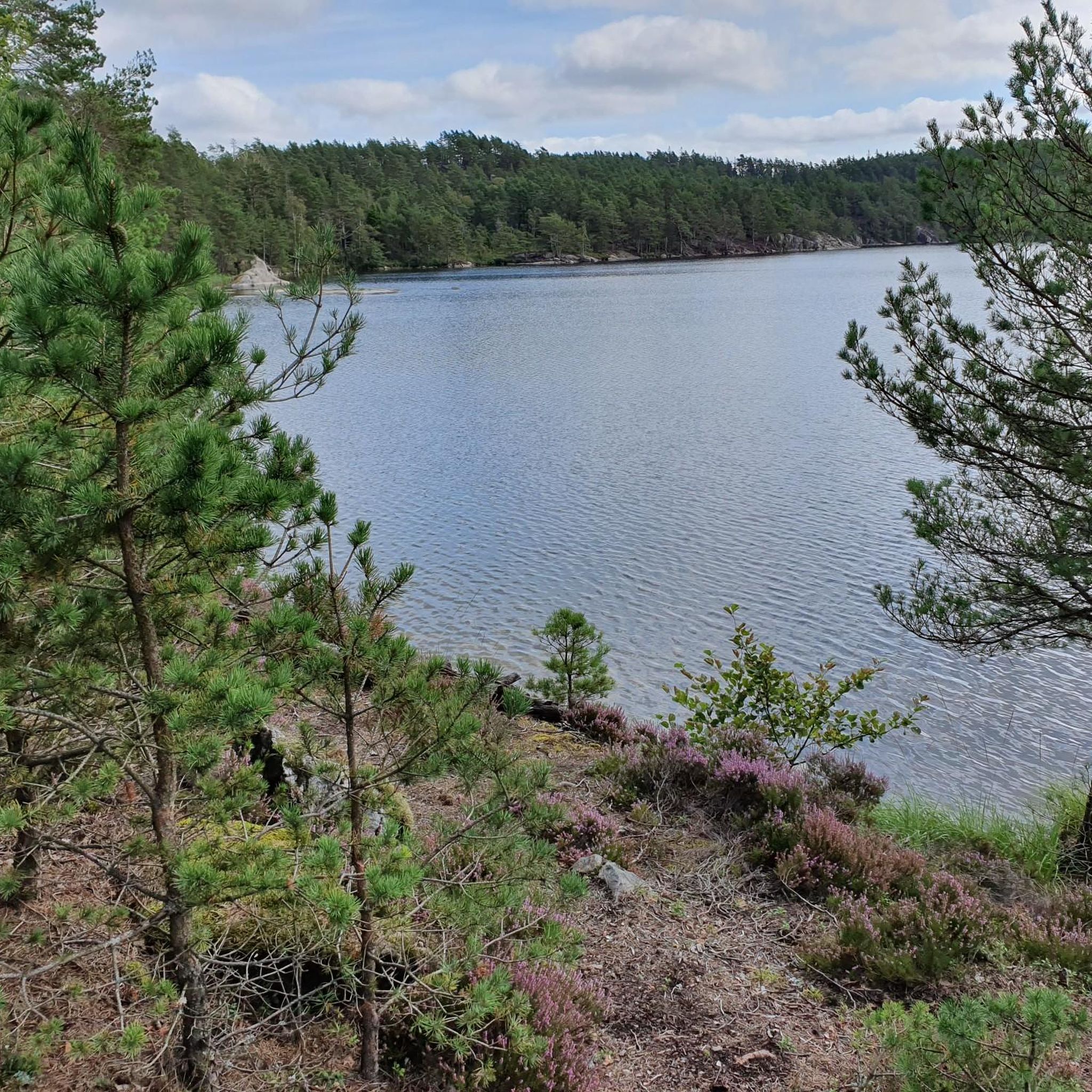
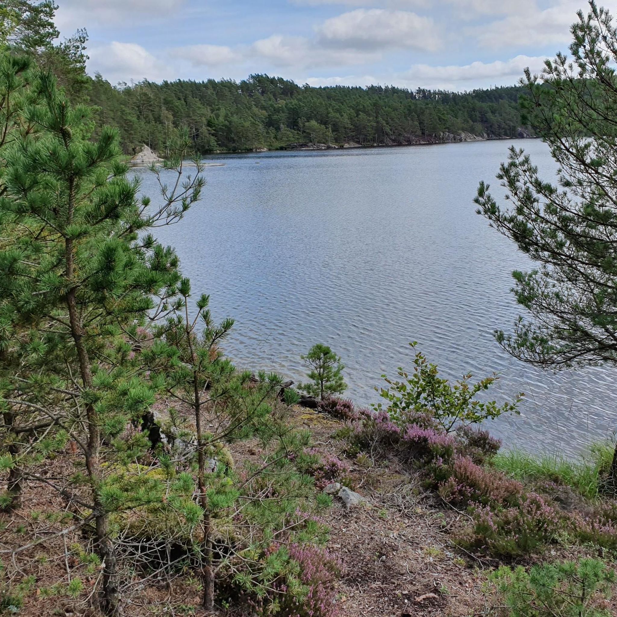
Hiking trails in Indre Iddefjord / Enningdalselva Naturreservat navigate a distinctive lowland river system and the inner part of the Iddefjord, which forms a border between Norway and Sweden. The fjord is characterized by steep natural formations and a large, brackish water delta where the Enningdalselva river flows. The terrain is rugged, with hills reaching up to 200 meters and Berbytårnet peaking at 211 meters. The area features a mix of coniferous and deciduous forests, including ancient pine forests on steep slopes.
Best hiking trails in Indre Iddefjord / Enningdalselva Naturreservat
- The most popular hiking route is Ascent to Björnerödspiggen – View from Björnerödspiggen loop from Krokstrand, a 6.6 miles (10.7 km) trail that takes 2 hours 59 minutes to complete. This route offers scenic views from Björnerödspiggen.
- Another top favourite among local hikers is Old Cabin by the Waterfall – Elgåfossen Waterfall loop from Svingen, a moderate 6.0 miles (9.7 km) path. This trail leads to Elgåfossen, a 46-meter-high waterfall situated directly on the border between Norway and Sweden.
- Local hikers also love the Ascent to Björnerödspiggen loop from Krokstrand, a 3.4 miles (5.5 km) trail leading through varied terrain with scenic viewpoints, often completed in about 1 hour 39 minutes.
- Hiking in Indre Iddefjord / Enningdalselva Naturreservat is defined by dramatic fjord landscapes, a significant waterfall, and ancient forests. The network offers options for different ability levels, from easy walks to moderate climbs.
- The routes in Indre Iddefjord / Enningdalselva Naturreservat are highly rated by the komoot community with an average score of 4.3 stars from over 200 reviews. More than 700 hikers have used komoot to explore Indre Iddefjord / Enningdalselva Naturreservat's varied terrain.
Last updated: July 12, 2026
3.0
(2)
13
hikers
Moderate hike. Good fitness required. Easily-accessible paths. Suitable for all skill levels.
4.5
(2)
9
hikers
5.48km
01:39
190m
190m
Easy hike. Great for any fitness level. Easily-accessible paths. Suitable for all skill levels.

Sign up for free
4.0
(1)
5
hikers
9.84km
02:51
240m
240m
Moderate hike. Good fitness required. Easily-accessible paths. Suitable for all skill levels.
4.2
(48)
132
hikers
9.68km
02:37
130m
130m
Moderate hike. Good fitness required. Easily-accessible paths. Suitable for all skill levels.
4.0
(1)
9
hikers
12.2km
03:34
330m
330m
Moderate hike. Good fitness required. Easily-accessible paths. Suitable for all skill levels.
Get access to more routes and recommendations from other explorers.
Sign up for free
Already have an account?
Our route recommendations are based on thousands of hikes, rides, and runs completed by other people on komoot.
Start today with a free account
Your next adventure awaits.
Login or Signup
Popular around Indre Iddefjord / Enningdalselva Naturreservat
Tips from the Community

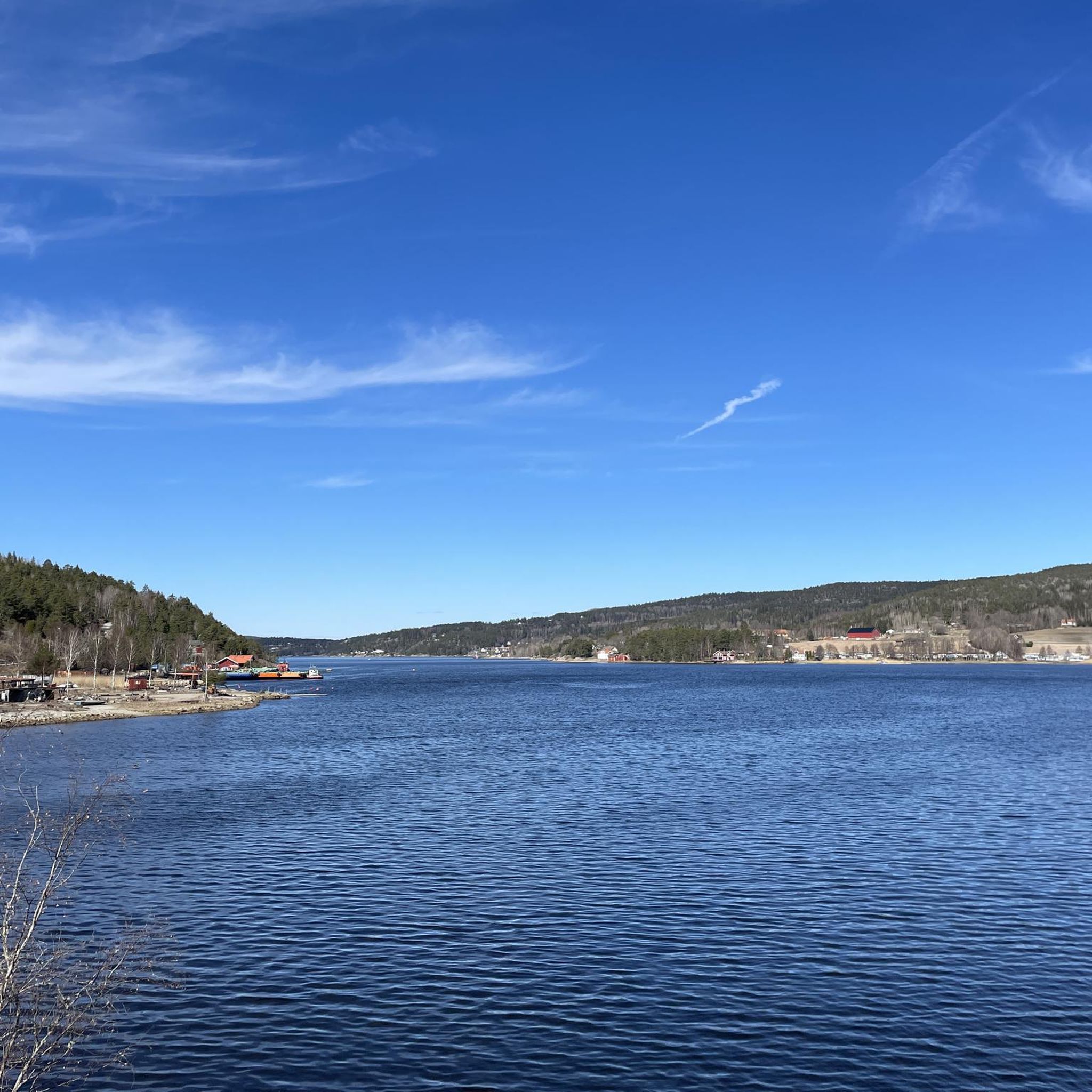
The sand dune near Krokstrand rises gently from the shore, its wind-sculpted ridges and grasses creating a small, natural lookout over the water. It’s a pleasant place to sit, watch the fjord, and enjoy the hush of the surrounding landscape
0
0
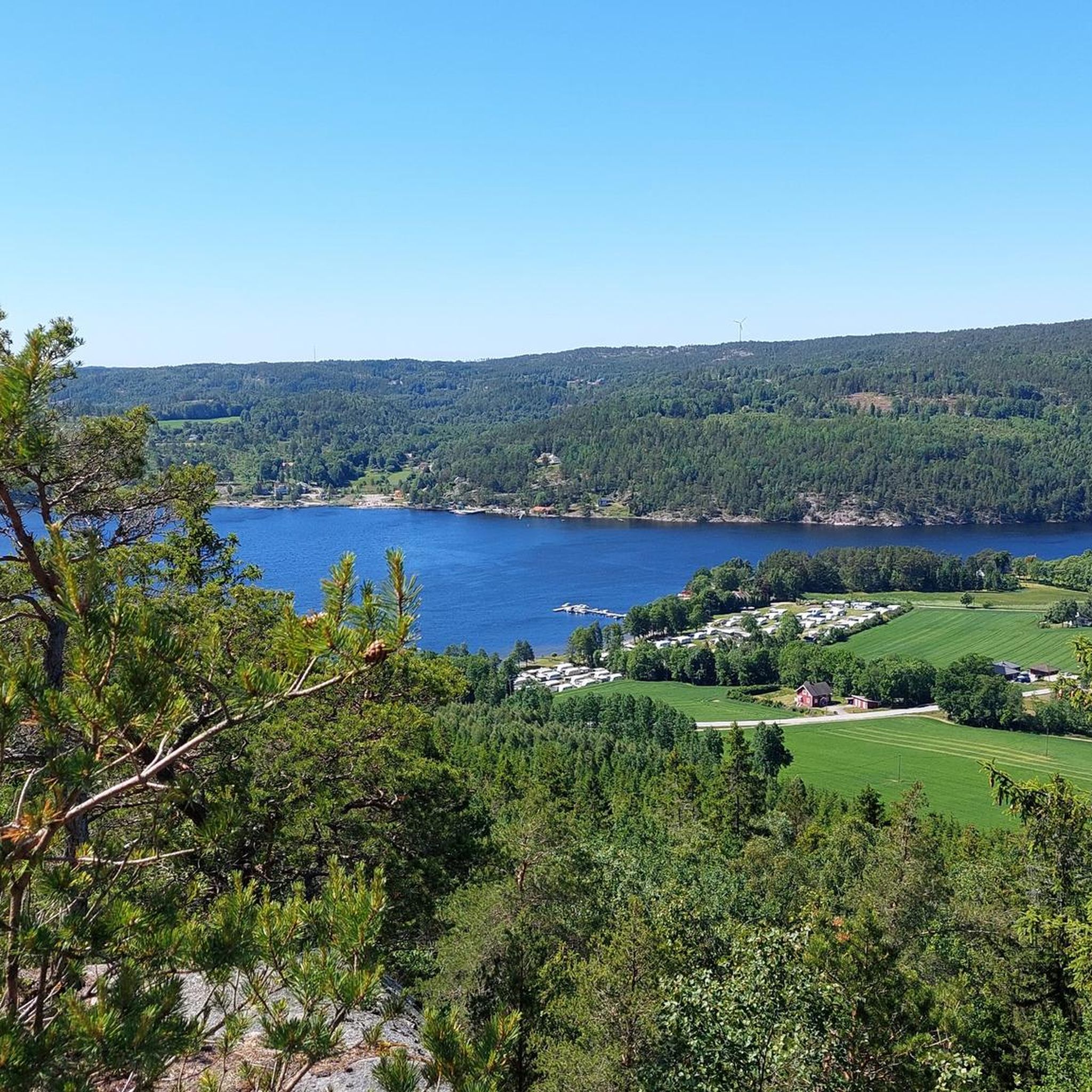
From this point you can view and enjoy the fjord and the woods around.
0
0

Very big and beautiful waterfall, at the border between Sweden and Norway. There is a small parking nearby (4, 5 cars max), which is above the waterfall. There is a sign going in the forest, and in 5min we reach the water. Many viewpoints from here. Then you can cross the bridge with the 2 country flags, and go down the path along the waterfall. Also many viewpoints from there. There is another bridge at the bottom, and it's possible to go back easily to the parking, without having to climb back next to the waterfall.
1
0

The Elgåfossen separates Sweden & Norway, the bridge unites them again 😉
0
0

My landlady recommended that I go to the waterfall when the weather is bad. Then a lot of water comes down...
0
0
The waterfall on the border between Sweden and Norway is definitely worth a visit, especially since the other large waterfalls in Sweden are further north.
0
1

Great view of the Elgåfossen and also the border between Norway and Sweden.
0
0

Elgafossen (or more precisely Elgåfossen or Elgaafossen in Norwegian and Älgafallet or Algafallet in Swedish) was a common waterfall between Norway and Sweden. In fact, its watercourse on a tributary of the Enningdalsälven called Elja defined parts of the Swedish-Norwegian border.
3
2
Frequently Asked Questions
How many hiking trails are available in Indre Iddefjord / Enningdalselva Naturreservat?
There are over 15 hiking trails in Indre Iddefjord / Enningdalselva Naturreservat, offering a variety of experiences from easy walks to more challenging routes. You'll find 10 easy trails and 8 moderate trails to explore.
Are there any family-friendly hiking options in the reserve?
Yes, the reserve offers several easy trails suitable for families. For example, the Ascent to Björnerödspiggen loop from Krokstrand is an easy 5.5 km route that can be completed in under two hours, providing scenic viewpoints without excessive difficulty.
Can I hike with my dog in Indre Iddefjord / Enningdalselva Naturreservat?
Yes, dogs are generally welcome on the hiking trails in Indre Iddefjord / Enningdalselva Naturreservat. However, it's important to keep your dog on a leash, especially during nesting seasons and when near wildlife, to protect the diverse ecosystems and local fauna.
What kind of natural features can I expect to see while hiking?
Hikers can experience dramatic fjord landscapes, ancient forests, and a significant river system. A highlight is the Elgåfossen Waterfall, a 46-meter-high waterfall situated directly on the border between Norway and Sweden. You'll also encounter rugged topography, with hills reaching over 200 meters, and diverse forests including ancient pine and blueberry spruce.
Are there any circular hiking routes available?
Yes, many routes in the reserve are circular, allowing you to start and end at the same point. Examples include the Ascent to Björnerödspiggen – View from Björnerödspiggen loop from Krokstrand, a moderate 10.7 km trail, and the View of Krokstrand – View of the Fjord loop from Krokstrand, which is 9.8 km long.
What is the best time of year to go hiking in this region?
The best time for hiking in Indre Iddefjord / Enningdalselva Naturreservat is typically from spring through autumn, when the weather is milder and trails are clear. Spring offers lush greenery and blooming flora, while autumn provides stunning fall colors. Winter hiking is possible but may require appropriate gear due to snow and ice.
Are there any notable viewpoints or landmarks along the trails?
Absolutely. The region is known for its scenic vistas. The Ascent to Björnerödspiggen offers panoramic views from its peak. Additionally, the Elgåfossen Waterfall provides multiple viewpoints, and you can even cross a wooden bridge connecting Norway and Sweden for a unique perspective.
What do other hikers say about the trails in Indre Iddefjord / Enningdalselva Naturreservat?
The trails in Indre Iddefjord / Enningdalselva Naturreservat are highly rated by the komoot community, with an average score of 4.3 stars from over 200 reviews. Hikers often praise the dramatic fjord landscapes, the impressive Elgåfossen Waterfall, and the variety of trails suitable for different fitness levels.
Is there parking available at the trailheads?
While specific parking facilities are not detailed, trailheads for popular routes like those near Krokstrand and Svingen typically have designated or informal parking areas. It's advisable to check local signage upon arrival for the most current parking information.
What kind of wildlife might I encounter?
The reserve is rich in biodiversity. You might spot fish-eating birds such as ospreys, mergansers, and great cormorants, with white-tailed eagles present in winter. Reed belts host species like reed warblers and reed buntings, and the river is a breeding ground for dippers and kingfishers. The area also provides habitat for rare amphibians and reptiles.
Are there any trails that cross the border into Sweden?
Yes, the Elgåfossen Waterfall is situated directly on the border between Norway and Sweden, and some trails allow you to experience this unique crossing. For instance, routes exploring the waterfall often include a wooden bridge that connects the two countries, offering a distinctive cross-border hiking experience.
What is the terrain like in Indre Iddefjord / Enningdalselva Naturreservat?
The terrain is notably rugged for the region, featuring hills surrounding the fjord that reach up to 200 meters, with Berbytårnet peaking at 211 meters. You'll hike through a mix of coniferous and deciduous forests, including ancient pine forests on steep slopes, and encounter a bedrock fault zone with Iddefjord granite and gneiss.
Most popular routes in Indre Iddefjord / Enningdalselva Naturreservat

Get inspired with the komoot mobile app


Explore more
Browse the best Hikes in other regions.
