The best walks and hikes in Gyrihelleren Naturreservat
4.6
(25)
100
hikers
11
hikes
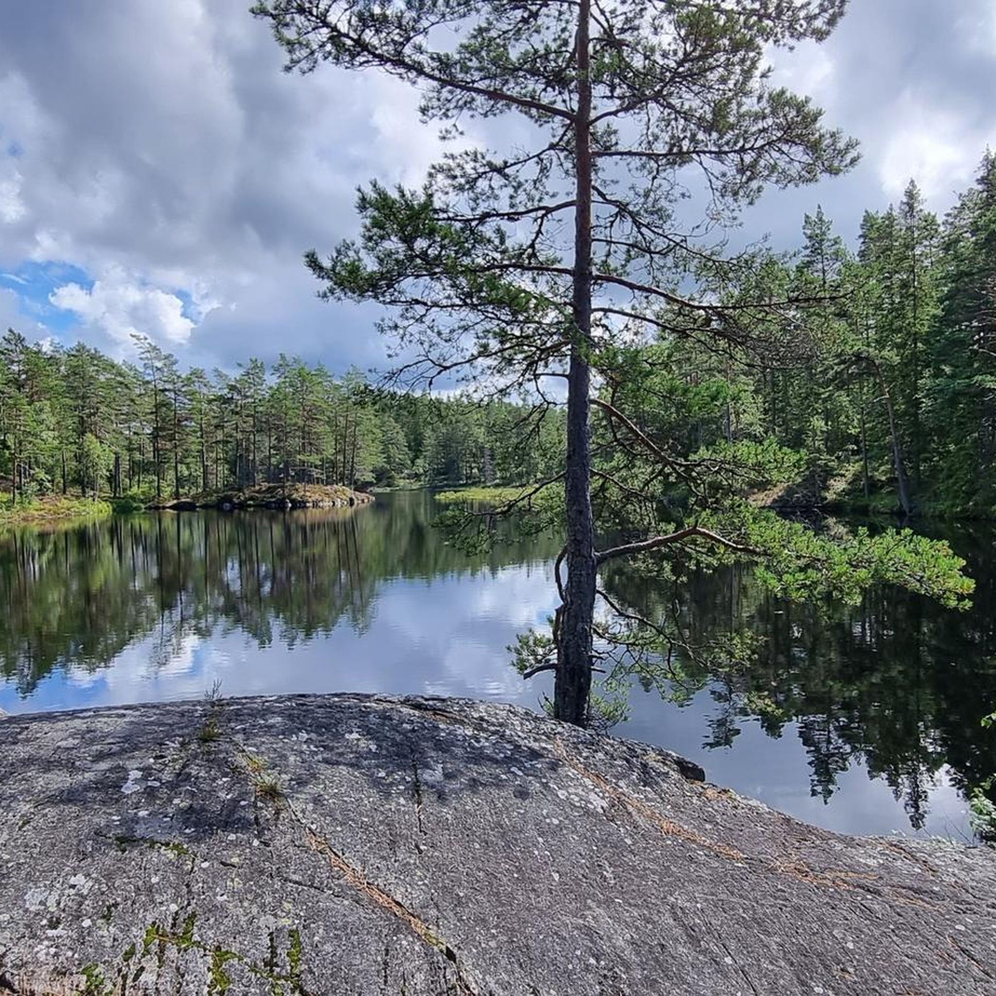
Hiking trails in Gyrihelleren Naturreservat traverse a protected forest landscape in Indre Østfold, Norway. The area is characterized by extensive wooded terrain, numerous lakes, and mires, offering varied natural features for exploration. Elevations include hills such as Tiuråsen, providing some topographical variation. The reserve's focus on forest conservation ensures a natural environment for walking and trekking.
Best hiking trails in Gyrihelleren Naturreservat
- The most popular hiking route is Sauetjernhøgda loop from Ørje, a 6.8 miles (11.0 km) trail that…
Last updated: May 16, 2026
4
hikers
11.0km
02:57
140m
140m
Moderate hike. Good fitness required. Easily-accessible paths. Suitable for all skill levels.
4.0
(1)
6
hikers
6.84km
01:52
110m
110m
Easy hike. Great for any fitness level. Easily-accessible paths. Suitable for all skill levels.

Sign up for free
4.3
(3)
7
hikers
14.4km
03:52
170m
170m
Moderate hike. Good fitness required. Mostly accessible paths. Sure-footedness required.
4.8
(9)
34
hikers
9.13km
02:30
140m
140m
Moderate hike. Good fitness required. Easily-accessible paths. Suitable for all skill levels.
4.7
(3)
6
hikers
3.25km
00:53
50m
50m
Easy hike. Great for any fitness level. Easily-accessible paths. Suitable for all skill levels.
Get access to more routes and recommendations from other explorers.
Sign up for free
Already have an account?
Our route recommendations are based on thousands of hikes, rides, and runs completed by other people on komoot.
Start today with a free account
Your next adventure awaits.
Login or Signup



Tips from the Community

In the winter sticks are handy becaurse the course can be slippery and steep
0
0
Frequently Asked Questions
How many hiking trails are available in Gyrihelleren Naturreservat?
There are over 10 hiking trails in Gyrihelleren Naturreservat, offering a range of experiences. You'll find 8 easy routes and 3 moderate options to explore the protected forest landscapes.
What kind of terrain can I expect when hiking in Gyrihelleren Naturreservat?
The reserve features extensive forested terrain, numerous lakes and tarns like Lauvvann and Kulevannet, and unique mires such as Gyrihellermosen. You'll also encounter varying elevations, including hills like Tiuråsen, providing some topographical variation.
Are there any easy or family-friendly hiking routes in the reserve?
Yes, Gyrihelleren Naturreservat offers 8 easy routes, making it suitable for families and those looking for less strenuous walks. An example is the Vestre Tiurås – Gåseflohøgda loop from Honningen, which is an easy 6.8 miles (11.0 km) path.
Can I bring my dog on the hiking trails in Gyrihelleren Naturreservat?
While the reserve is a natural area, specific regulations regarding dogs, such as leash requirements, may apply to protect wildlife and other visitors. It's always best to check local signage or official park information before your visit to ensure compliance.
What are some notable natural features or landmarks to look out for?
Gyrihelleren Naturreservat is characterized by its diverse water bodies, including lakes and tarns like Lauvvann, Oksetjern, and Kulevannet. You can also explore the unique Gyrihellermosen mire and experience the varying elevations around hills such as Tiuråsen.
Are there any circular hiking routes in Gyrihelleren Naturreservat?
Yes, many of the trails in the reserve are designed as loops, allowing you to start and end at the same point. For instance, the Sauetjernhøgda loop from Ørje is a popular moderate circular route.
What do other hikers enjoy most about Gyrihelleren Naturreservat?
The area is highly rated by the komoot community, with an average score of 4.6 stars from over 20 reviews. Hikers often praise the protected forest landscapes, the tranquility of the numerous lakes, and the varied terrain that offers both easy and moderate challenges.
Is there parking available at the trailheads?
While specific parking facilities are not detailed, trail starting points for routes like the Tiurleken – Gjøvannshøyda loop from Marker typically have designated areas for visitors to park their vehicles. It's advisable to check the route details on komoot for specific starting point information.
What is the best time of year to go hiking in Gyrihelleren Naturreservat?
The reserve is suitable for hiking during most of the year, with spring, summer, and autumn offering pleasant conditions for exploring the forested trails and lakes. Winter hiking is also possible, especially on designated ski trails, but conditions may vary.
Can I access Gyrihelleren Naturreservat using public transport?
Information regarding direct public transport access to the reserve is limited. Visitors typically reach the area by car, often starting their hikes from nearby towns like Ørje or Marker. It's recommended to plan your journey in advance if relying on public transport.
Are there any longer, more challenging routes for experienced hikers?
For those seeking a longer experience, the Østbyseterhøyda – Gåseflohøgda loop from Igletjern is a moderate 9.0 miles (14.4 km) path. This route offers a more extensive exploration of the reserve's diverse terrain, including significant elevation changes.
Most popular routes in Gyrihelleren Naturreservat

Get inspired with the komoot mobile app


Explore more
Browse the best Hikes in other regions.
