The best walks and hikes in Mettjärn
4.5
(65)
206
hikers
12
hikes
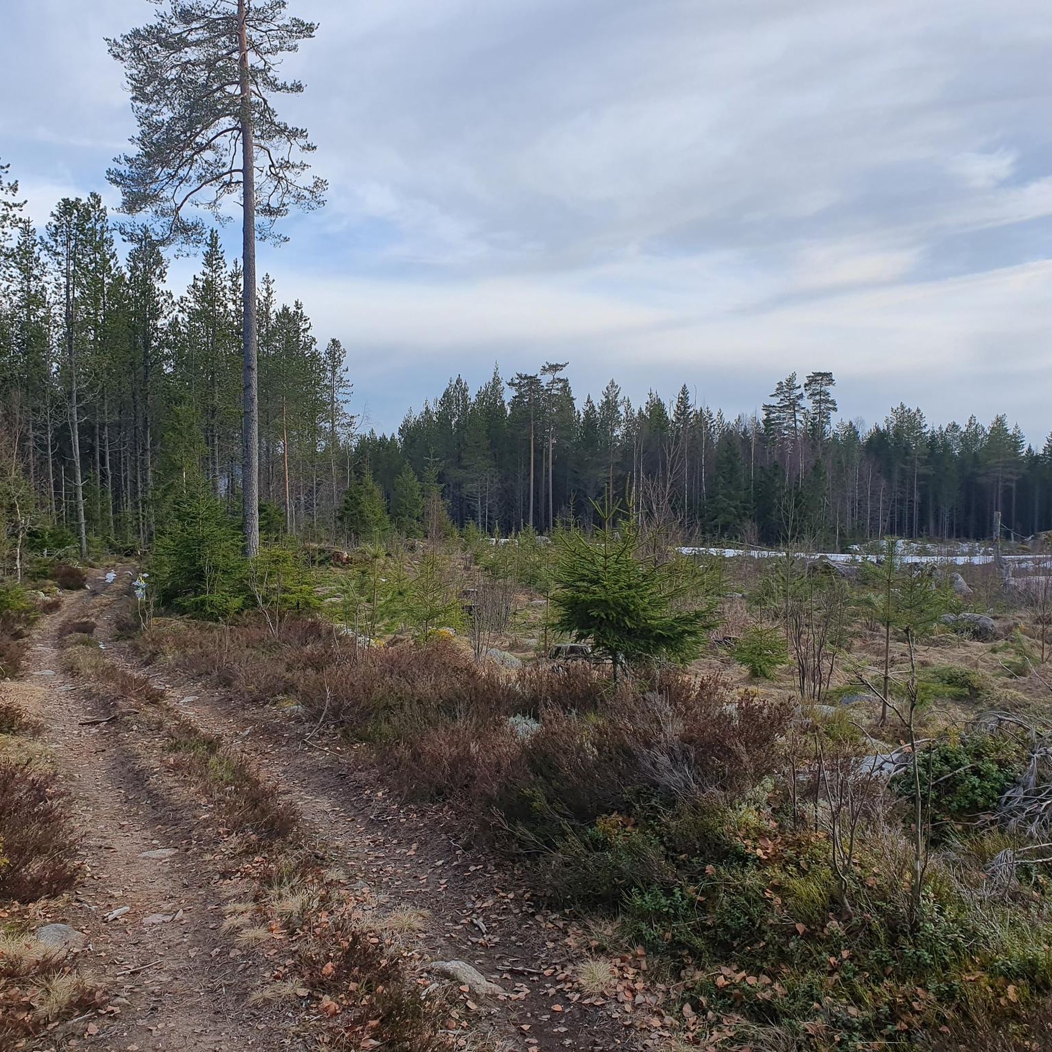
Hiking trails in Mettjärn traverse a varied landscape characterized by ancient forests, rocky terrain, and numerous lakes. The region features a mix of bogs, wetlands, and open water, providing diverse natural habitats. Hikers can explore areas with old-growth woodland, prominent hills, and evidence of historical forest fires. The terrain includes both moist and dry environments, creating a range of conditions for outdoor activities.
Best hiking trails in Mettjärn
- The most popular hiking route is View of Ugglekullen – Bridge Over…
Last updated: October 27, 2026
5.0
(3)
13
hikers
5.64km
01:35
120m
120m
Easy hike. Easily walkable paths.
4.7
(7)
13
hikers
8.17km
02:15
130m
130m
Moderate hike. Good fitness required. Easily walkable paths.

4.5
(2)
7
hikers
14.4km
03:57
180m
180m
Moderate hike. Good fitness required. Mostly walkable paths. Sure-footedness required.
6
hikers
3.73km
00:57
10m
10m
Easy hike. Easily walkable paths.
3
hikers
5.08km
01:18
10m
10m
Easy hike. Easily walkable paths.
Get access to more routes and recommendations from other explorers.
Already have an account?
Our route recommendations are based on thousands of hikes, rides, and runs completed by other people on komoot.
Start today with a free account
Your next adventure awaits.
Popular around Mettjärn
Tips from the Community

Nice place to spend the night. Very nice view from the shelter. Room for multiple people to sleep. Fireplace and benches. There is also a pit latrine.
1
0

A shelter right on the lake. bench and fireplace. Wood and lighters are available there. You can stay overnight there. A forest toilet is in the immediate vicinity. The view from the shelter is really beautiful.
1
0
Here is a source of drinking water where you can refill the water supply for the hike.
0
0
Over the footbridge comes dry feet through moor. Idyllic place in the middle Nothing.
0
0
Great view of the lake from the bridge
0
0
At the place in the middle of the forest, you are invited to take a break and sign the hiking book. The way there is beautiful.
0
0

A small wooden bridge over the beautiful Sävsjön. The Silverleden hiking trail runs here.
0
0

In this Safe Post box there is a book and a pen ✏️ with which you can write in the book.
0
0
Frequently Asked Questions
How many hiking trails are available in Mettjärn?
Mettjärn offers a selection of 12 hiking trails. These routes cater to various preferences, with an equal split of 6 easy and 6 moderate trails, ensuring options for different fitness levels.
Are there any easy hiking trails suitable for beginners in Mettjärn?
Yes, Mettjärn has 6 easy hiking trails perfect for beginners or those looking for a relaxed walk. An example is the View of Ugglekullen – Bridge Over Sävsjön loop from Sävälven, which is 3.5 miles (5.6 km) long and takes about 1 hour 35 minutes to complete.
Are there any circular hiking routes in Mettjärn?
Many of Mettjärn's trails are designed as loops. For instance, the View of Ugglekullen – Bridge Over Sävsjön loop from Silkesdamm offers a moderate 5.1-mile (8.2 km) circular path, providing scenic views and lake crossings.
What is the typical length and duration of hikes in Mettjärn?
Hikes in Mettjärn vary in length and duration. You can find shorter routes like the 3.5-mile (5.6 km) View of Ugglekullen – Bridge Over Sävsjön loop from Sävälven, which takes about 1 hour 35 minutes. Longer, moderate trails such as the Silvergruvan Headframe – View of Ugglekullen loop from Sävälven extend to about 9.1 miles (14.7 km) and can take over 4 hours.
What do other hikers enjoy most about the trails in Mettjärn?
The trails in Mettjärn are highly regarded by the komoot community, holding an average rating of 4.5 stars from over 50 reviews. Hikers frequently praise the diverse landscapes, which include ancient forests, rocky terrain, and serene lakes, as well as the well-maintained paths.
Are there any historical or cultural points of interest along the Mettjärn trails?
Yes, some trails in Mettjärn pass by sites of historical significance. For example, the Southern Swede Shelter – Björnhöjden Iron Ore Mines loop from Sävsjön Bönde leads through forested areas and past historical iron ore mines, offering a glimpse into the region's past.
Can I find places for wild swimming near Mettjärn's hiking trails?
Yes, the Mettjärn area offers opportunities for wild swimming. The Mettjärn near Surte and Bohus, for instance, is known for its lake where swimming is possible during warmer summer days, providing a refreshing break after a hike.
Are there any specific nature reserves or protected areas to explore in Mettjärn?
The Mettjärn Nature Reserve in Örebro County is a notable area. It features ancient forests, bogs, and open water, with a marked 2.5 km trail circling Mettjärnsberget. This reserve is home to diverse tree species, fungi, mosses, and lichens, showcasing rich biodiversity.
Are the hiking trails in Mettjärn suitable for families with children?
Mettjärn offers several easy trails that are suitable for families. The varied landscape, including forests and lakes, provides an engaging environment for children. Some areas, like the Mettjärn near Surte, even feature a farm with animals along the trail, adding to the family-friendly experience.
Is there parking available at the trailheads in Mettjärn?
Yes, parking is generally available. For example, the Mettjärn in the Sävsjön-area, north of Hällefors, provides ample parking for visitors, including those with caravans, making it convenient to access the area's natural attractions.
What kind of natural features can I expect to see while hiking in Mettjärn?
Mettjärn's landscape is characterized by ancient forests, rocky terrain, and numerous lakes. You'll encounter a mix of bogs, wetlands, and open water, as well as areas with old-growth woodland and prominent hills. Evidence of historical forest fires can also be found, adding to the natural and cultural history.
Are there any trails that offer views of the surrounding landscape?
Many trails in Mettjärn provide scenic views. The View of Ugglekullen – Bridge Over Sävsjön loop from Sävälven is specifically named for its views of Ugglekullen and crossings over Sävsjön, offering picturesque vistas of the area.
Most popular routes in Mettjärn

Get inspired with the komoot mobile app


Explore more
Browse the best Hikes in other regions.
