The best walks and hikes in Lennheden
4.7
(32)
231
hikers
30
hikes
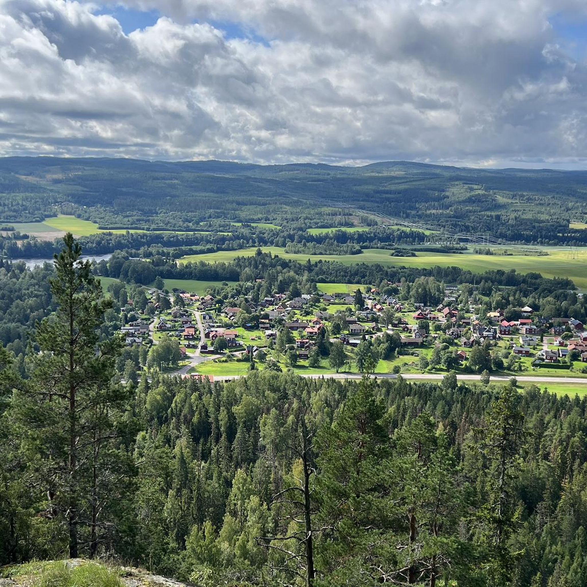
Hiking trails in Lennheden provide access to the diverse natural landscapes of Dalarna County, Sweden, situated along the southern bank of the Dalälven river. The region is characterized by a rural setting, featuring a mix of open river meadows, old-growth forests, and mixed forests. Nearby areas like Gyllbergen Nature Reserve offer a low mountain terrain character with pine and spruce forests, fens, and rock formations. This varied topography provides a range of hiking experiences.
Best hiking trails in Lennheden
- The…
Last updated: May 14, 2026
3
hikers
4.08km
01:04
30m
30m
Easy hike. Great for any fitness level. Easily-accessible paths. Suitable for all skill levels.
5.0
(2)
7
hikers
13.8km
03:48
230m
230m
Moderate hike. Good fitness required. Easily-accessible paths. Suitable for all skill levels.

Sign up for free
4
hikers
3.27km
00:51
20m
20m
Easy hike. Great for any fitness level. Easily-accessible paths. Suitable for all skill levels.
6
hikers
11km
03:06
230m
230m
Moderate hike. Good fitness required. Easily-accessible paths. Suitable for all skill levels.
6
hikers
4.99km
01:23
90m
90m
Easy hike. Great for any fitness level. Easily-accessible paths. Suitable for all skill levels.
Get access to more routes and recommendations from other explorers.
Sign up for free
Already have an account?
Our route recommendations are based on thousands of hikes, rides, and runs completed by other people on komoot.
Start today with a free account
Your next adventure awaits.
Login or Signup

Tips from the Community

In the middle of the hike there is an old shack. You can have coffee there.
0
0
Frequently Asked Questions
What kind of terrain can I expect on hiking trails around Lennheden?
The hiking trails around Lennheden offer a diverse range of terrain. You'll find paths winding through dense forests, including both northern coniferous and European broadleaf deciduous forests. Some areas, like the nearby Gyllbergen Nature Reserve, feature a low mountain terrain character with pine and spruce forests, fens, and rock formations. The region's proximity to the Dalälven river also means you might encounter open river meadows and varied riverine landscapes.
Are there any easy hiking trails suitable for beginners in the Lennheden area?
Yes, Lennheden offers several easy hiking trails perfect for beginners. For example, the Shelter with Fire Pit – Dense Forest Path loop from Sifferbo is an easy 4.1 km route that takes just over an hour to complete, leading through dense forest to a fire pit. Another accessible option is the Torsktjärnen – Djurmoklacks naturreservat loop from Djurmo, a 5 km trail through varied forest terrain and past Torsktjärnen lake.
What natural features or landmarks can I discover while hiking near Lennheden?
The area around Lennheden is rich in natural beauty. You can explore the unique ecosystems of the Dalälven river, part of a UNESCO Biosphere Reserve, known for its diverse flora and fauna, old-growth forests, and stunning autumn foliage. Nearby, Gyllbergen Nature Reserve features notable natural attractions such as Jättebordet, a large flat rock, Saras sjö mountain lake, and the mystical Dragbergsgatan fault fissure. Many trails also offer expansive views of forests and valleys, such as the View of the Forest and Valley loop from Sifferbo.
Are there any circular hiking routes available in the Lennheden region?
Yes, many of the trails in the Lennheden region are designed as circular routes, allowing you to start and end at the same point. Examples include the easy Shelter with Fire Pit – Dense Forest Path loop from Sifferbo and the moderate View of the Forest and Valley loop from Sifferbo. These loops provide varied scenery without retracing your steps.
What is the best time of year to go hiking in Lennheden?
The Lennheden area offers enjoyable hiking experiences throughout much of the year. Spring and summer bring lush greenery and pleasant temperatures, while autumn is particularly stunning with the vibrant colors of the deciduous trees reflecting in the Dalälven river. Even winter offers opportunities for snowshoeing or cross-country skiing, though specific hiking trails might be covered in snow.
Are there any challenging hikes with significant elevation gain near Lennheden?
While Lennheden itself offers mostly easy to moderate trails, some routes provide more significant elevation changes. For instance, the View of the Forest and Valley loop from Sifferbo is a moderate 13.8 km path with an elevation gain of over 230 meters, offering expansive views. For more challenging, low-mountain terrain, the nearby Gyllbergen Nature Reserve provides trails through varied landscapes.
What do other hikers say about the trails in Lennheden?
The trails in Lennheden are highly regarded by the komoot community, holding an average rating of 4.7 stars from 30 reviews. Hikers often praise the diverse terrain, from dense forests to riverine landscapes, and the well-maintained paths that cater to various ability levels. Many appreciate the peaceful natural setting and the opportunity to explore the unique Dalarna environment.
Can I reach hiking trails in Lennheden using public transport?
While specific public transport options directly to every trailhead in Lennheden might be limited due to its rural setting, the broader Borlänge municipality, which Lennheden is part of, has public transport connections. It's advisable to check local bus schedules for routes connecting to villages or starting points near the trails you plan to hike. Many trails, however, are more easily accessed by car.
Are there opportunities for wild swimming near hiking trails in Lennheden?
Lennheden's location along the Dalälven river and its proximity to various lakes in Dalarna County suggest potential for wild swimming. While specific designated spots near hiking trails are not detailed, the region is known for its many waterways. Lake Runn, for example, is popular for water activities. Always exercise caution and check local regulations before swimming in natural waters.
What other outdoor activities are available in the wider Dalarna region, accessible from Lennheden?
Beyond hiking, the Dalarna region offers a wide array of outdoor activities. You can enjoy mountain biking on trails like Lilla Lenheden, paddling on lakes and waterways such as Lake Runn (with rentals available at Torsång's kayak center), fishing, and horseback riding. During winter, popular activities include downhill skiing at Romme Alpin, cross-country skiing, snowshoeing, and ice skating on natural ice rinks.
Are there any long-distance hiking trails accessible from Lennheden?
While Lennheden itself features shorter day hikes, the broader Dalarna region is home to extensive long-distance trails. The most notable is the Siljansleden, an approximately 340-kilometer trail that forms two loops around Lake Siljan and Lake Orsa. This trail takes hikers through diverse landscapes, including forests, marshes, and old mountain pasture paths, offering options for multi-day adventures.
How many hiking trails are there in the Lennheden area?
There are over 30 hiking trails available for exploration in the Lennheden area, ranging from easy forest walks to more moderate routes with varied elevation. This extensive network provides numerous options for different skill levels and preferences.
Most popular routes in Lennheden

Get inspired with the komoot mobile app


Explore more
Browse the best Hikes in other regions.
