The best walks and hikes in Langvassbrenna Naturreservat
4.6
(35)
217
hikers
32
hikes
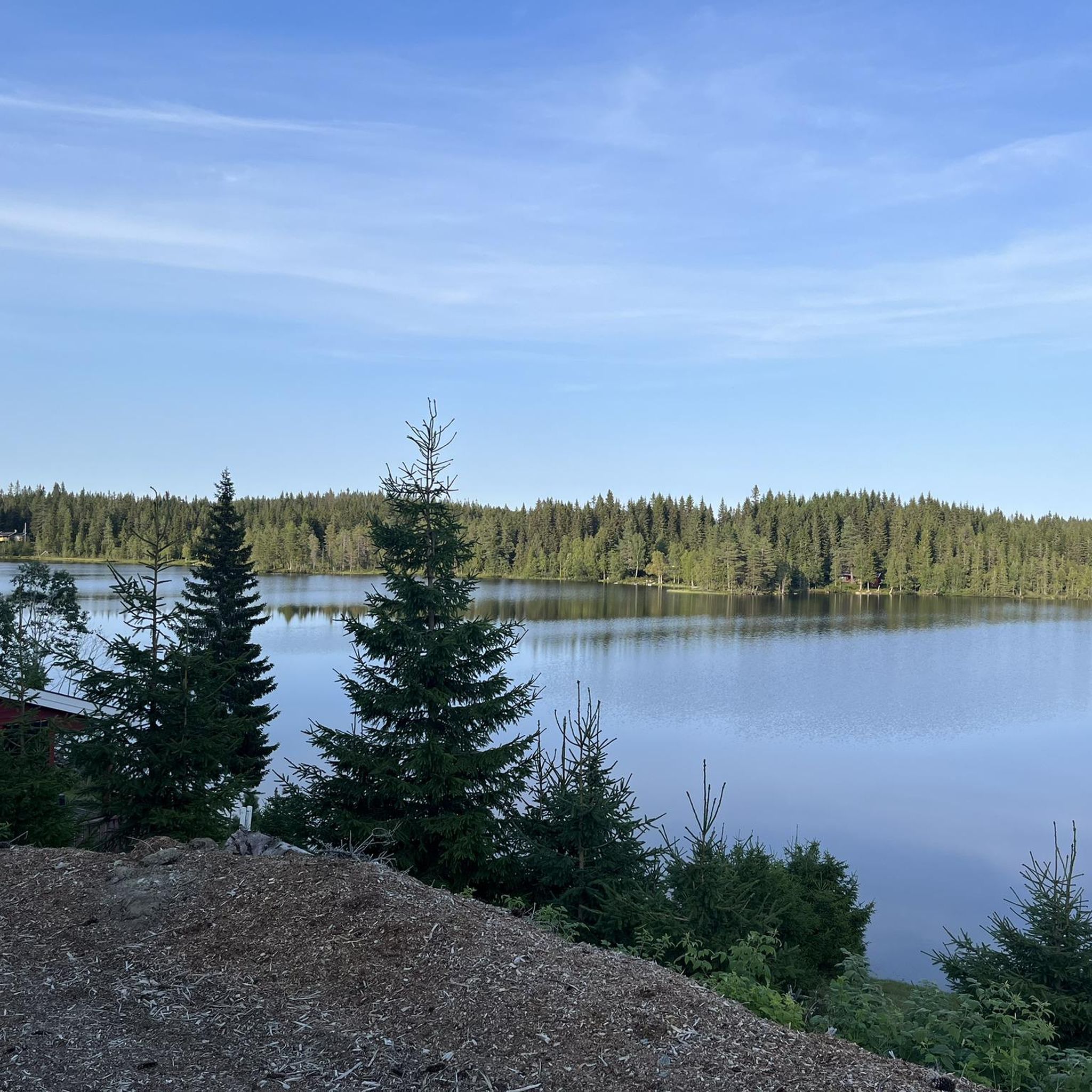
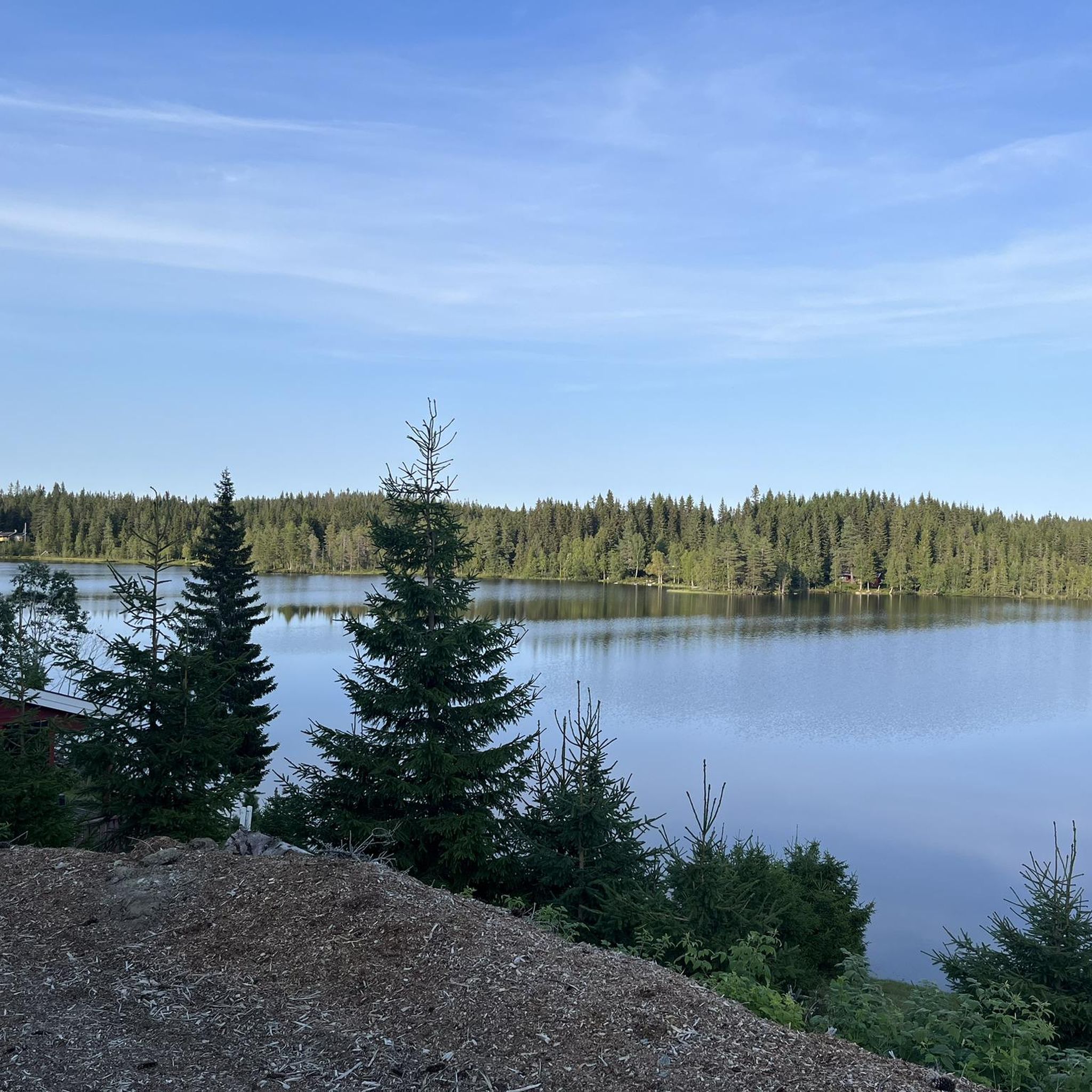
Langvassbrenna Naturreservat hiking trails traverse a landscape characterized by extensive old-growth forests, featuring large spruce and pine trees, and significant deadwood. The region includes the Langvassbrenna Peak, which at 663 meters above sea level, offers views of surrounding areas. East of the peak, Langvann lake provides tranquil scenery, with traces of beaver activity along its shores. The terrain varies from easy-to-walk sections to gradually ascending paths through mixed coniferous forests.
Best hiking trails in Langvassbrenna Naturreservat
- The most popular hiking…
Last updated: June 26, 2026
4.0
(1)
3
hikers
7.79km
02:08
110m
130m
Moderate hike. Good fitness required. Easily-accessible paths. Suitable for all skill levels.
10.2km
03:04
250m
250m
Moderate hike. Good fitness required. Mostly accessible paths. Sure-footedness required.

Sign up for free
4.8
(6)
21
hikers
12.3km
03:27
240m
240m
Moderate hike. Good fitness required. Easily-accessible paths. Suitable for all skill levels.
5.0
(2)
20
hikers
10.6km
02:58
210m
210m
Moderate hike. Good fitness required. Easily-accessible paths. Suitable for all skill levels.
4
hikers
10.6km
03:04
280m
270m
Moderate hike. Good fitness required. Easily-accessible paths. Suitable for all skill levels.
Get access to more routes and recommendations from other explorers.
Sign up for free
Already have an account?
Our route recommendations are based on thousands of hikes, rides, and runs completed by other people on komoot.
Start today with a free account
Your next adventure awaits.
Login or Signup
Tips from the Community

A rennovated stable, today Tverrsjøstallen is a simple dining spot that serves food and drink at weekends during the skiing season. While it's closed at other times in the year, the bus stop here is the ideal start point for a hike to Svarttjernshøgda, Nordmarka's highest point.
0
0
Ølja is a lovely lake at the eastern foot of Svarttjernshøgda, Nordmarka's highest peak at 717 metres (2,352 ft). One of two main trails to the top begins from the lake's western end.
0
0
At 717 metres (2,352 ft), Svarttjernshøgda is the highest point in Nordmarka. It's a hike that's suitable for all, providing a good hillwalk for families. The main trail from the east is well-signposted throughout.
1
0

Magical place! Ringkollen offers a great view of the Ringerike region + the mountains further away
0
0

Sinnerdammen is the name of this beautiful old hunting lodge belonging to the DNT, the Norwegian Trekking Association. It dates back to 1898 and is characterised by its rustic charm. The lodge is located in a cleared forest glade right next to a small river. Information about the lodge and booking can be found here: https://ut.no/hytte/10788/sinnerdammen.
0
0
The hut at Katnosdammen was once the dam keeper's house, but today it is owned by the Norwegian Trekking Association (DNT) and is therefore open to everyone. However, it must be booked in advance. The cabin is beautifully situated right by the lake and is very charming both inside and out. Canoes and life jackets can be provided for overnight guests. You can find more information and the link to book the cabin here: https://ut.no/hytte/10778/katnosdammen.
1
0

Frequently Asked Questions
What kind of terrain can I expect when hiking in Langvassbrenna Naturreservat?
The terrain in Langvassbrenna Naturreservat is characterized by old-growth forests with large spruce and pine trees. You'll find sections that are easy to walk, with gradually ascending paths through mixed coniferous forests. While there isn't a marked trail directly to the very top of Langvassbrenna Peak, paths and ski tracks lead gently uphill towards Langvann, offering a varied hiking experience.
Are there any viewpoints or notable natural features in Langvassbrenna Naturreservat?
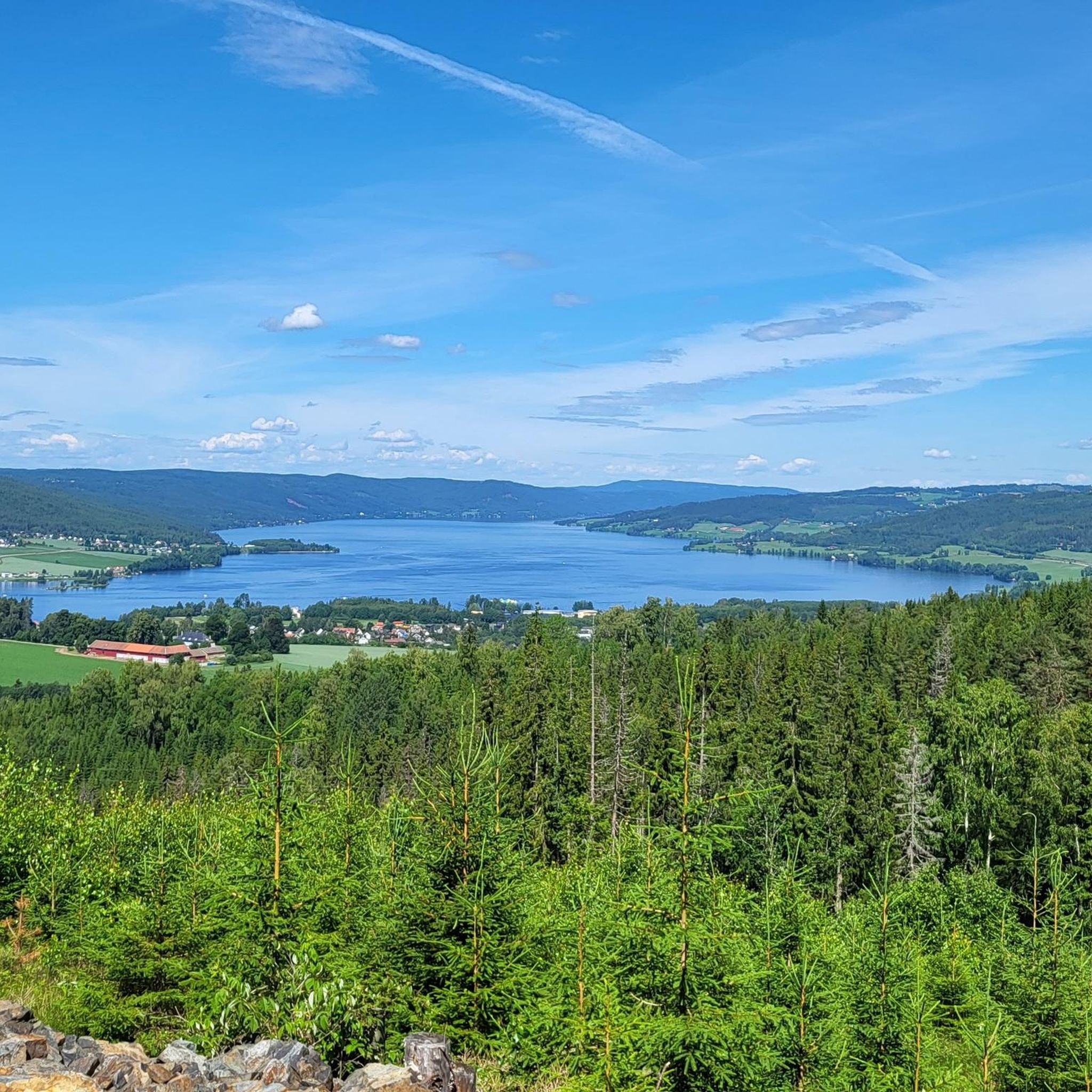
Yes, the Langvassbrenna Peak, at 663 meters above sea level, offers rewarding views of surrounding areas like Rughaugen, Ringkollen, Norefjell, Vikerfjell, Jevnaker, and Svarttjernshøgda. East of the peak, Langvann lake provides tranquil scenery, and you might spot traces of beaver activity along its shores. The reserve is also known for its extensive old-growth forests, featuring ancient, gnarled pines and significant deadwood, which contribute to its unique natural character.
What are the difficulty levels of hiking trails in Langvassbrenna Naturreservat?
Langvassbrenna Naturreservat offers a range of hiking options suitable for different abilities. There are nearly 30 routes available, with 9 classified as easy and 20 as moderate. There are no difficult trails, making it accessible for most hikers looking for a peaceful outdoor experience.
Can I find circular hiking routes in Langvassbrenna Naturreservat?
Yes, there are several circular routes available. For example, the View of Spålen Lake loop from Tverrsjøstallen is a moderate 12.3 km path offering views of Spålen Lake. Another popular option is the View of Spålen Lake – Port Arthur loop from Tverrsjøstallen, a 10.6 km trail that also explores the area around Lake Spålen.
What kind of wildlife might I encounter in Langvassbrenna Naturreservat?
The reserve is a vital habitat for various wildlife. You might spot capercaillie (storfugl), as there are several documented display grounds within the area. The blend of older pine and mixed coniferous forests, along with intact swamp forests, creates an ideal environment for these birds. Hikers might also encounter tracks of other animals, indicating a diverse presence of wildlife.
Is Langvassbrenna Naturreservat suitable for family hikes?
Yes, Langvassbrenna Naturreservat can be suitable for families, especially given that 9 of its nearly 30 routes are rated as easy. The terrain includes sections described as 'easy to walk' with gradually ascending paths through forests, making it possible to find routes appropriate for different family members. Always check the specific route details for distance and elevation to ensure it matches your family's capabilities.
What do other hikers say about Langvassbrenna Naturreservat?
The area is highly rated by the komoot community, with an average score of 4.7 stars from over 30 reviews. Hikers often praise the serene landscapes, the beauty of the old-growth forests, and the tranquil atmosphere, particularly around Langvann lake and the rewarding views from Langvassbrenna Peak.
Are there any easy routes for beginners in the area?
Yes, there are 9 easy routes available in Langvassbrenna Naturreservat. An example of an easy hike is the Hadeland Glassverk loop from Toso, which is 7.3 km long and takes approximately 1 hour 56 minutes to complete, with minimal elevation gain.
What is the best time of year to go hiking in Langvassbrenna Naturreservat?
Langvassbrenna Naturreservat offers a rewarding experience across different seasons. While specific recommendations depend on personal preference, the region's old-growth forests and scenic viewpoints are beautiful in spring, summer, and autumn. Winter hiking is also possible on ski tracks, but conditions should be checked beforehand.
Are there any specific geological features of interest in Langvassbrenna Naturreservat?
Yes, the bedrock of Langvassbrenna Naturreservat is geologically interesting, consisting of deep-seated and intrusive rocks from the Permian period. These include alkali feldspar syenite and syenite, which add a unique dimension to the landscape for those interested in geology.
Is it possible to reach Langvassbrenna Naturreservat using public transport?
While the region research mentions Jevnaker municipality, specific public transport options directly to trailheads within the reserve are not detailed. It is advisable to research local bus services or other transport links to Jevnaker and then plan onward travel to the reserve's access points.
What are some of the unique plant species found in the old-growth forests?
The old-growth forests of Langvassbrenna Naturreservat are home to a rich biodiversity, including rare and vulnerable fungi and lichen species. These include the endangered Lappkjuke (EN) and the vulnerable Gul snyltekjuke (VU) and Langt trollskjegg (VU), which thrive in the presence of ancient trees and abundant deadwood.
Most popular routes in Langvassbrenna Naturreservat

Get inspired with the komoot mobile app


Explore more
Browse the best Hikes in other regions.
