The best walks and hikes in Elstad Landskapsvernområde
4.7
(44)
414
hikers
68
hikes
Hiking in Elstad Landskapsvernområde offers exploration of a distinctive glacial landscape in Ullensaker, Akershus. The region is characterized by its unique kettle-hole lakes, formed by melting ice blocks from retreating glaciers, and features moraine areas rich in sand and silt. The terrain primarily consists of woods and open fields, providing varied natural settings for outdoor activities. This protected area encompasses several lakes, including Hersjøen, Transjøen, and Dagsjøen.
Best hiking trails in Elstad Landskapsvernområde
- The most popular hiking route is Hiking loop in Aurmoen Nature Reserve, a 3.6 miles (5.8 km) trail that takes 1 hour 28 minutes to complete, traversing through varied natural environments.
- Another top favourite among local hikers is Nordbytjern Lake – Swan Nest at Nordbytjern loop from Nordbytjern landskapsvernområde, an easy 2.7 miles (4.4 km) path. This route offers views of Nordbytjernet Lake, a prominent kettle-hole lake in the area.
- Local hikers also love the Memory Grove – Hulveier Path loop from Oslo lufthavn, a 5.3 miles (8.5 km) trail leading through wooded areas and open landscapes, often completed in about 2 hours 14 minutes.
- Hiking in Elstad Landskapsvernområde is defined by its kettle-hole lakes, glacial geology, and a mix of woods and open fields. The extensive network offers options for both easy and moderate ability levels.
- The routes in Elstad Landskapsvernområde are highly rated by the komoot community with an average score of 4.7 stars from over 40 reviews. More than 400 hikers have used komoot to explore Elstad Landskapsvernområde's varied terrain.
Last updated: July 10, 2026
5.78km
01:29
20m
20m
Easy hike. Great for any fitness level. Easily-accessible paths. Suitable for all skill levels.
4.5
(4)
19
hikers
8.48km
02:14
70m
70m
Moderate hike. Good fitness required. Easily-accessible paths. Suitable for all skill levels.

Sign up for free
5.0
(1)
6
hikers
Easy hike. Great for any fitness level. Easily-accessible paths. Suitable for all skill levels.
2
hikers
5.77km
01:31
50m
50m
Easy hike. Great for any fitness level. Easily-accessible paths. Suitable for all skill levels.
5
hikers
Easy hike. Great for any fitness level. Easily-accessible paths. Suitable for all skill levels.
Get access to more routes and recommendations from other explorers.
Sign up for free
Already have an account?
Our route recommendations are based on thousands of hikes, rides, and runs completed by other people on komoot.
Start today with a free account
Your next adventure awaits.
Login or Signup

Tips from the Community

The lake has several pontoons scattered along this shore. This one also has a small raised diving platform. In winter, holes are even cut in the ice for swimming, and you can climb down directly from the ladder. Provided you have the courage!
0
0
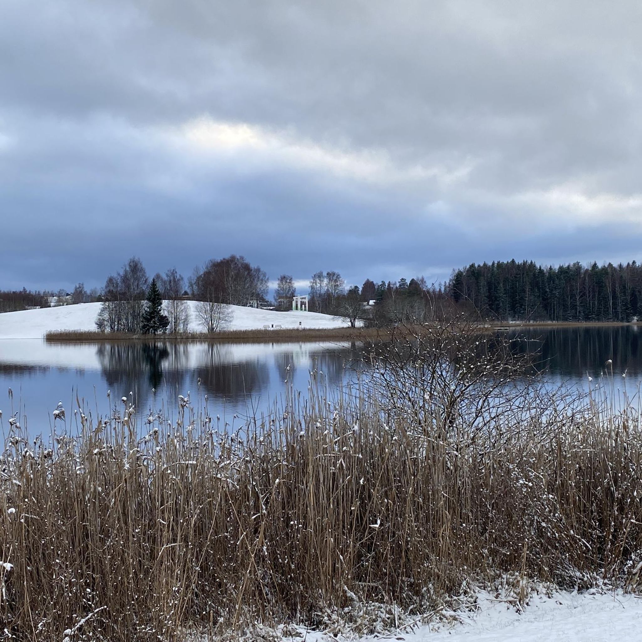
From this location, you can stand close to the lake's shore and admire it from one of its most beautiful angles. Stay calm and watch the birds, especially the swans swimming on the lake.
0
0

The Aurmoen landskapsvernområde is a nature reserve north of Oslo Airport. Here you will find a car park that serves as the starting point for the many paths that criss-cross the area. As it borders a military base, you should check in advance whether any exercises are taking place. You can find the barracks' telephone number here: https://www.forsvaret.no/om-forsvaret/tjenestesteder/sessvollmoen.
0
0
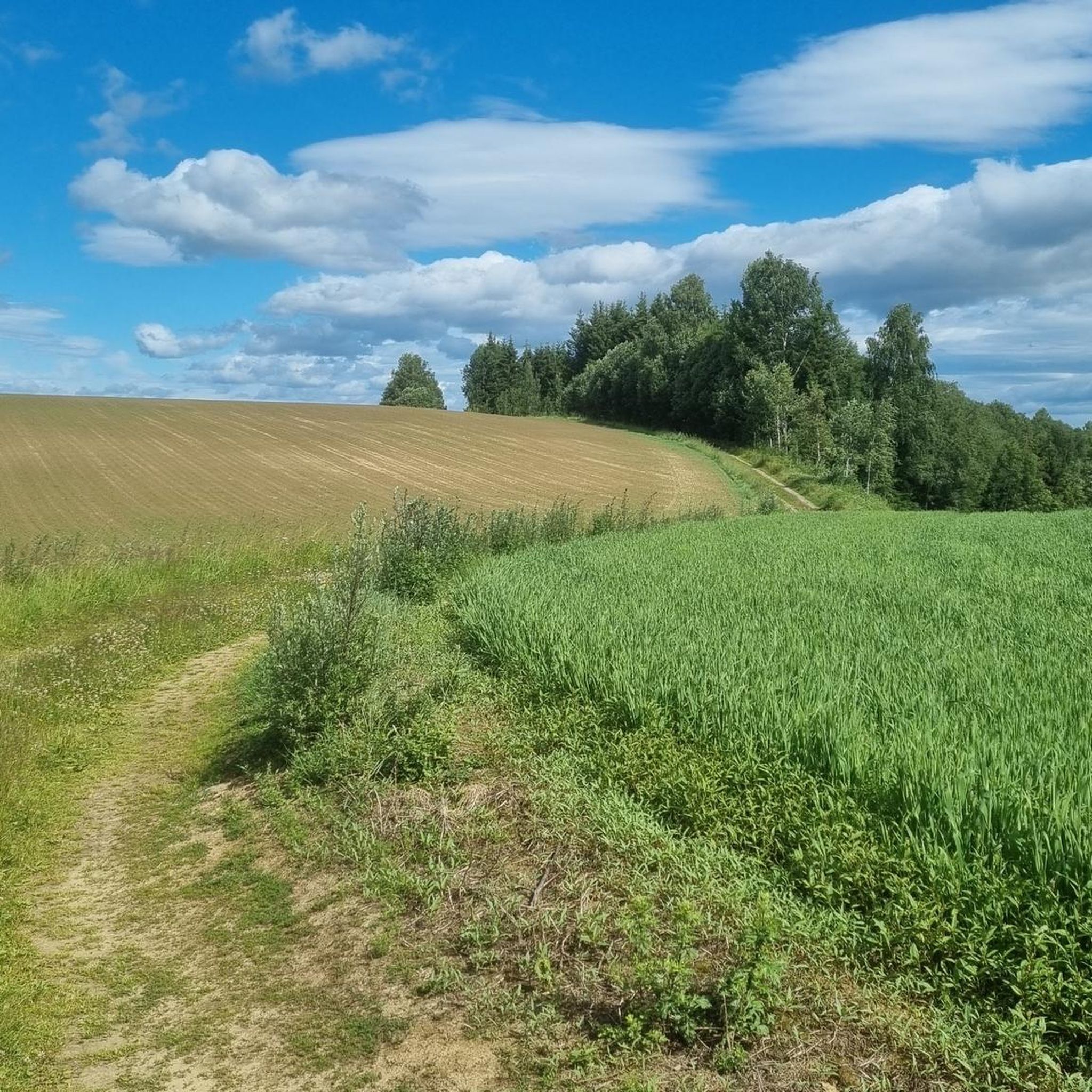
The Aurmoen Landscape Conservation Area north of Oslo Airport is part of a larger network of protected areas in this region. It serves to protect various bird species. The ground is often sandy, which makes for soft but somewhat difficult going!
0
0


Risebru is a pilgrim hostel located where the Trondhjemske kongeveien crosses the Risa river over an old stone bridge. A farm at this point is described in sources as early as 1594. The stone bridge over the river dates from 1827. The pilgrims' hostel is housed in a building from the beginning of the 19th century which used to house a shoemaker's workshop. Source: https://pilegrimsleden.no/interestpointer/risebru-pilegrimsherberge
1
0
Nordbytjernet is an easy hike for both walking and cycle. Beautiful surroundings and many benches if you need a little rest. Birdlife😍
2
0

Frequently Asked Questions
How many hiking trails are available in Elstad Landskapsvernområde?
Elstad Landskapsvernområde and the wider Ullensaker Municipality offer an extensive network of hiking trails. Within the komoot community, there are over 60 recorded routes, providing numerous options for exploration.
What kind of terrain can I expect when hiking in Elstad Landskapsvernområde?
The terrain in Elstad Landskapsvernområde primarily consists of woods and open fields. You'll traverse areas shaped by glacial geology, including moraine landscapes with sand and silt. While some sections may be wet, the trails offer a diverse natural setting.
Are there any easy hiking trails suitable for beginners or families?
Yes, a significant portion of the trails in Elstad Landskapsvernområde are considered easy. For instance, the Swan Nest at Nordbytjern – Nordbytjern Lake loop from Trøgstadmoen is an easy 4.4 km path that offers pleasant views and is suitable for most ability levels.
What are the unique natural features I can see while hiking here?
The most prominent natural features are the unique kettle-hole lakes (grytehullsjøer), formed by melting blocks of ice from retreating glaciers. You can encounter several of these, such as Hersjøen, Transjøen, and Dagsjøen, which possess unique physical-chemical conditions. The Nordbytjernet – Nordbytjernet Lake, Jessheim loop from Trøgstadmoen offers views of one such prominent lake.
Are there any circular hiking routes in the area?
Yes, many routes in the area are designed as loops, allowing you to start and end at the same point. An example is the Hiking loop in Aurmoen Nature Reserve, which is a 5.8 km trail traversing varied natural environments.
Is Elstad Landskapsvernområde suitable for dog-friendly hikes?
While specific regulations for dogs within Elstad Landskapsvernområde are not detailed, generally, hiking trails in Norway are dog-friendly, provided dogs are kept on a leash, especially during nesting seasons for birds and when near livestock. It's always best to check local signage for any specific restrictions.
What is the best time of year to go hiking in Elstad Landskapsvernområde?
The best time to visit for hiking is typically during the warmer months, from spring through autumn, when the trails are clear of snow and ice. This allows for comfortable exploration of the woods, fields, and kettle-hole lakes. Winter hiking is possible but may require appropriate gear for snow and ice.
What do other hikers enjoy the most about hiking in Elstad Landskapsvernområde?
The area is highly rated by the komoot community, with an average score of 4.7 stars from over 90 reviews. Hikers often praise the serene environment, the unique glacial landscapes, and the well-marked trails that make navigation easy.
How can I find parking near the hiking trails in Elstad Landskapsvernområde?
While specific parking areas are not detailed, the extensive network of trails in Ullensaker Municipality suggests various access points. It is advisable to consult local maps from Ullensaker Turlag or the municipal website, or use apps like UT.no, which often indicate parking facilities near trailheads.
Can I reach Elstad Landskapsvernområde using public transport?
Ullensaker Municipality, where Elstad Landskapsvernområde is located, has public transport options. For specific trail access points, it's recommended to check local bus routes and schedules that serve the areas surrounding the protected landscape. Some routes, like the Memory Grove – Hulveier Path loop from Oslo lufthavn, suggest proximity to transport hubs.
Are there any longer or more challenging hikes available?
While many trails are easy, there are moderate options for those seeking a bit more challenge. For example, the Memory Grove – Hulveier Path loop from Oslo lufthavn is a 8.5 km trail leading through wooded areas and open landscapes, typically completed in about 2 hours 14 minutes, offering a moderate experience.
Are the hiking trails well-marked in Elstad Landskapsvernområde?
Yes, the broader Ullensaker area, including Elstad Landskapsvernområde, benefits from an extensive network of marked hiking trails. These trails adhere to the Norwegian Tourist Association's marking standards, featuring signs and blue markings on trees and poles, making them accessible and easy to navigate.
Most popular routes in Elstad Landskapsvernområde

Get inspired with the komoot mobile app


Explore more
Browse the best Hikes in other regions.
