The best road cycling routes in Romeriksåsene
4.5
(30)
2,440
riders
146
rides
Road cycling in Romeriksåsene offers diverse landscapes within a forest-covered mountain area, characterized by significant elevation changes from approximately 200 meters in the south to over 500 meters in the north. The region features extensive coniferous forests and numerous lakes, providing varied terrain for cyclists. Geological formations of gneiss and granite contribute to stable road surfaces, though some routes may include unpaved segments. This topography provides a range of challenges, from demanding climbs to faster descents.
Best road cycling routes…
Last updated: July 10, 2026
10
riders
83.9km
03:55
920m
920m
Hard road ride. Very good fitness required. Some segments of this route may be unpaved and difficult to ride.
7
riders
40.2km
02:08
640m
640m
Moderate road ride. Good fitness required. Some segments of this route may be unpaved and difficult to ride.

Sign up for free
5.0
(1)
5
riders
17.9km
00:58
220m
220m
Moderate road ride. Great for any fitness level. Some segments of this route may be unpaved and difficult to ride.
25
riders
45.5km
01:59
360m
360m
Moderate road ride. Good fitness required. Mostly well-paved surfaces and easy to ride.
20
riders
127km
06:07
1,360m
1,360m
Hard road ride. Very good fitness required. Some segments of this route may be unpaved and difficult to ride.
Get access to more routes and recommendations from other explorers.
Sign up for free
Already have an account?
Our route recommendations are based on thousands of hikes, rides, and runs completed by other people on komoot.
Start today with a free account
Your next adventure awaits.
Login or Signup
Tips from the Community

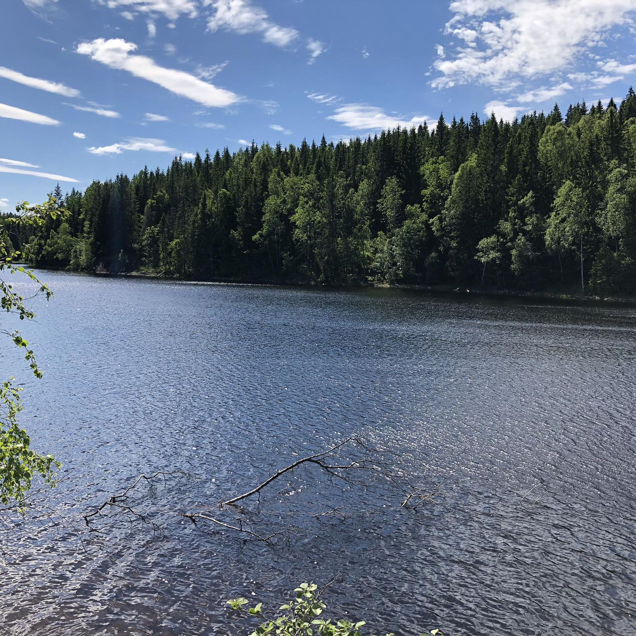
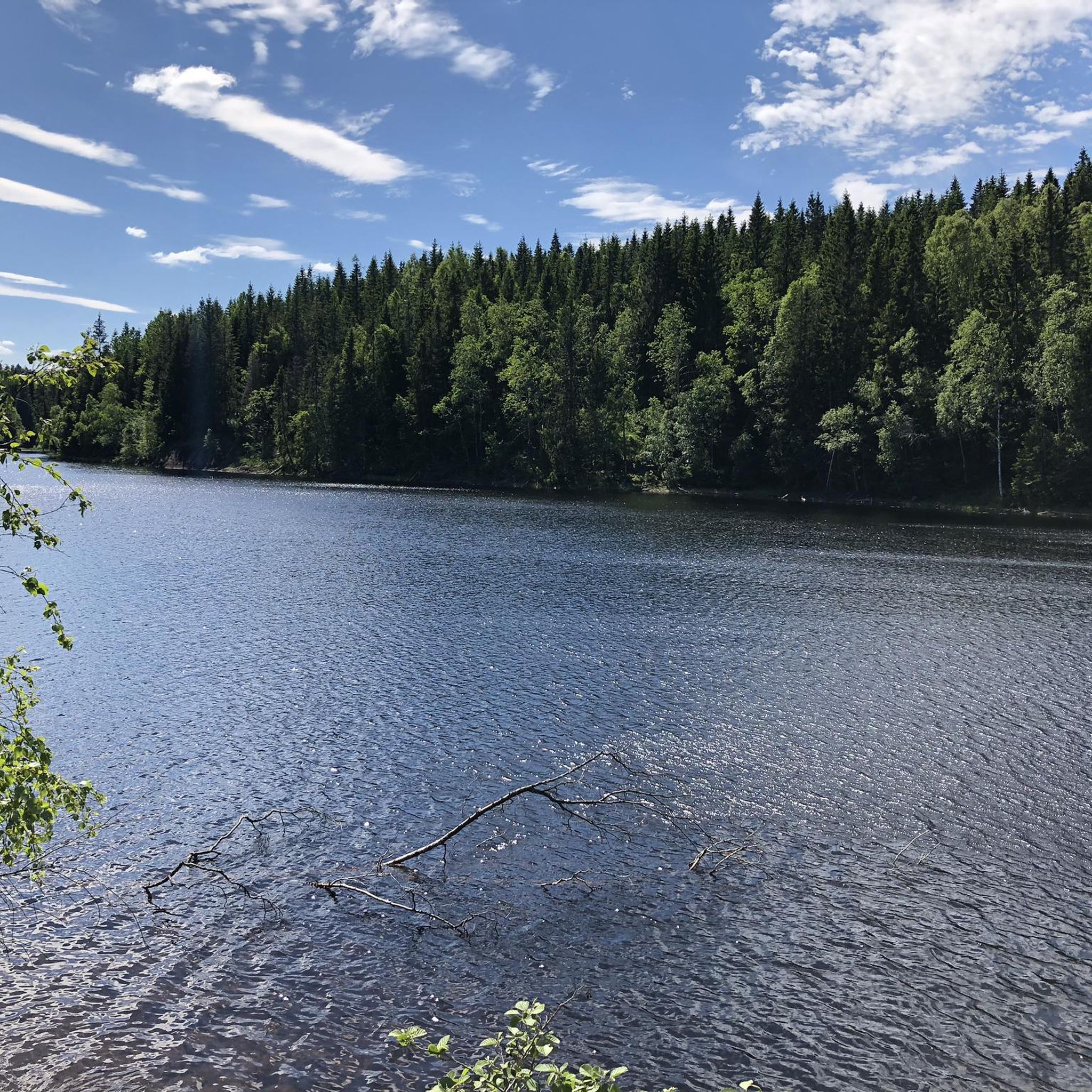
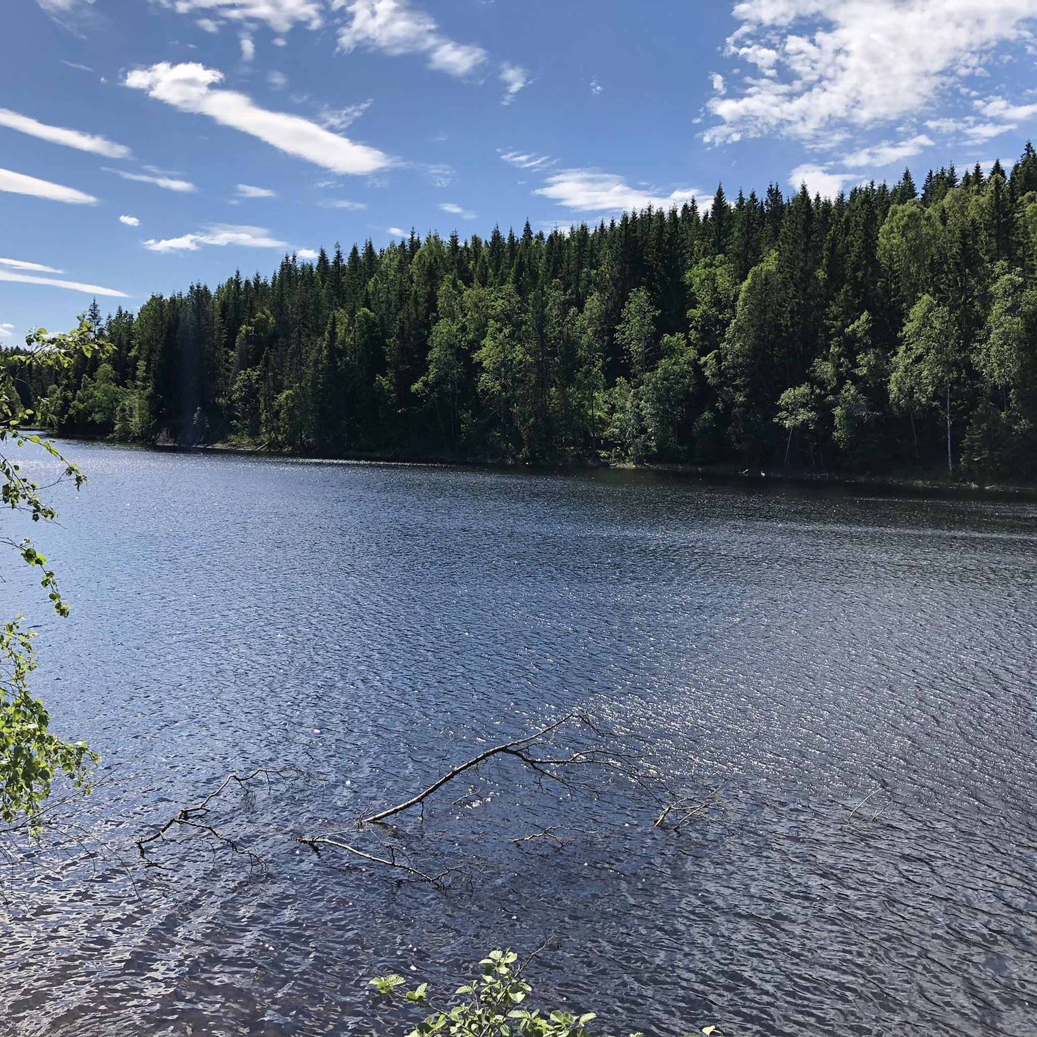
The lake is well hidden behind the forest, but from here you can see its shores and enjoy the magnificent scenery.
0
0
This beautiful forest trail offers a fun and nature-friendly walking experience. In fact, you’ll find several sections designed to protect the ground, with paths built on wooden logs and others on wooden walkways. Please be careful: in wet weather, these paths can be slippery.
0
0

The Lillestrøm Bicycle Highway (Sykkelstamveien) is one of Norway’s showcase cycling routes, built as a fast, direct commuter corridor linking Lillestrøm with Oslo. It’s wide, smooth and fully separated from traffic, making it both safe and stress-free.
1
0

Location at the center of a circular route that can be done both on foot and by bicycle
0
0

You will spot this church if you go through the village of Bjørke. As is common with many rural churches, it acts as a useful landmark for navigation. Take the chance for a brief pause during your bike tour to observe the building and its setting before continuing on your way.
0
0
This bridge on the Nedre Granlivegen road goes across the Leira river. It serves as a functional crossing point while cycling on the quiet routes in the area. It's a good chance to take a break and enjoy a pleasant view of the river flowing below.
0
0

Frequently Asked Questions
What kind of terrain can I expect when road cycling in Romeriksåsene?
Romeriksåsene offers a varied topography, with terrain rising from approximately 200 meters in the south to over 500 meters in the northern parts. You'll encounter extensive coniferous forests and numerous lakes, providing a scenic backdrop. While many routes feature mostly well-paved surfaces, some segments might be unpaved, adding to the challenge and diversity.
Are there road cycling routes suitable for beginners or families in Romeriksåsene?
Yes, Romeriksåsene offers a good selection of routes for all fitness levels. There are 25 easy routes, many of which are suitable for beginners or families looking for a less strenuous ride. These routes often feature quiet roads and lower elevation gains, making them ideal for a relaxed cycling experience.
What are some notable natural features or landmarks to look out for while cycling in Romeriksåsene?
The region is rich in natural beauty. You can expect to see extensive coniferous forests, numerous lakes like Avalsjøen, Råsjøen, and Storøyungen, and protected nature reserves such as Prekestolen and Ryggevanna. For panoramic views, the highest point, Paradiskollen, at 670 meters above sea level, offers fantastic vistas, though it might require a detour from typical road cycling paths.
What do other road cyclists enjoy most about cycling in Romeriksåsene?
The komoot community highly rates road cycling in Romeriksåsene, with an average score of 4.4 stars from over 20 reviews. Cyclists often praise the diverse landscapes, the extensive network of routes, and the quiet roads that allow for an immersive experience in nature away from heavy traffic.
Are there any long-distance or challenging road cycling routes in the area?
Yes, for those seeking a challenge, Romeriksåsene has 18 difficult routes. An example of a longer, moderate route is the Kalvsjøtjernet – Stortjernet loop from Harestua, which covers 81.8 km with over 870 meters of elevation gain, taking nearly 4 hours to complete. These routes demand good to very good fitness.
Can I find circular road cycling routes in Romeriksåsene?
Many of the road cycling routes in Romeriksåsene are designed as loops, allowing you to start and end at the same point. For instance, the popular Elgsjøen – Grønntjernet loop from Harestua is a 39.2 km moderate circular path offering scenic views around lakes and through quiet forest roads.
What is the best time of year for road cycling in Romeriksåsene?
The best time for road cycling in Romeriksåsene is typically from spring through autumn when the roads are clear of snow and ice, and the weather is milder. The extensive coniferous forests are particularly beautiful during these seasons. While some routes might be accessible in winter, conditions can be challenging due to snow and ice.
Are there options for shorter road cycling trips in Romeriksåsene?
Absolutely. If you're looking for a quicker ride, there are several shorter options. The Roadbike loop from Hungerholt is a good example, covering 17.4 km and typically completed in under an hour, leading through the lower parts of the region.
What are the typical elevation gains on road cycling routes in Romeriksåsene?
Elevation gains vary significantly depending on the route's difficulty. Easy routes might have around 1,000 feet (300 meters) of elevation gain over a couple of hours. Moderate routes, like the Roadbike loop from Bekkeberga (45.3 km), can feature around 360 meters of ascent. Harder routes can exceed 3,000 feet (900 meters) of elevation gain.
Are there any specific routes known for high-speed descents?
Yes, for those who enjoy a thrill, the El Falco High-Speed Downhill loop from Tjernsbekk is a notable route. This 55.1 km moderate trail is known for its exhilarating descents, offering an exciting experience for road cyclists.
How accessible is Romeriksåsene by public transport for cyclists?
Romeriksåsene spans several municipalities, and while specific public transport connections to trailheads can vary, many starting points are within reasonable proximity to local bus or train services. It's advisable to check local transport schedules for the specific area you plan to cycle in to confirm the best access points.
Are there any cafes or places to stop for refreshments along the road cycling routes?
While Romeriksåsene is primarily a natural forest area, you can often find cafes or small shops in the villages and towns bordering the region, such as Harestua or near Hungerholt. Planning your route to pass through these areas can provide opportunities for refreshments and breaks.
Most popular routes in Romeriksåsene
Most popular attractions in Romeriksåsene

Get inspired with the komoot mobile app


Explore more
Browse the best Road cycling routes in other regions.
