The best running trails in Sandungåsen Naturreservat
4.7
(6)
270
runners
36
runs
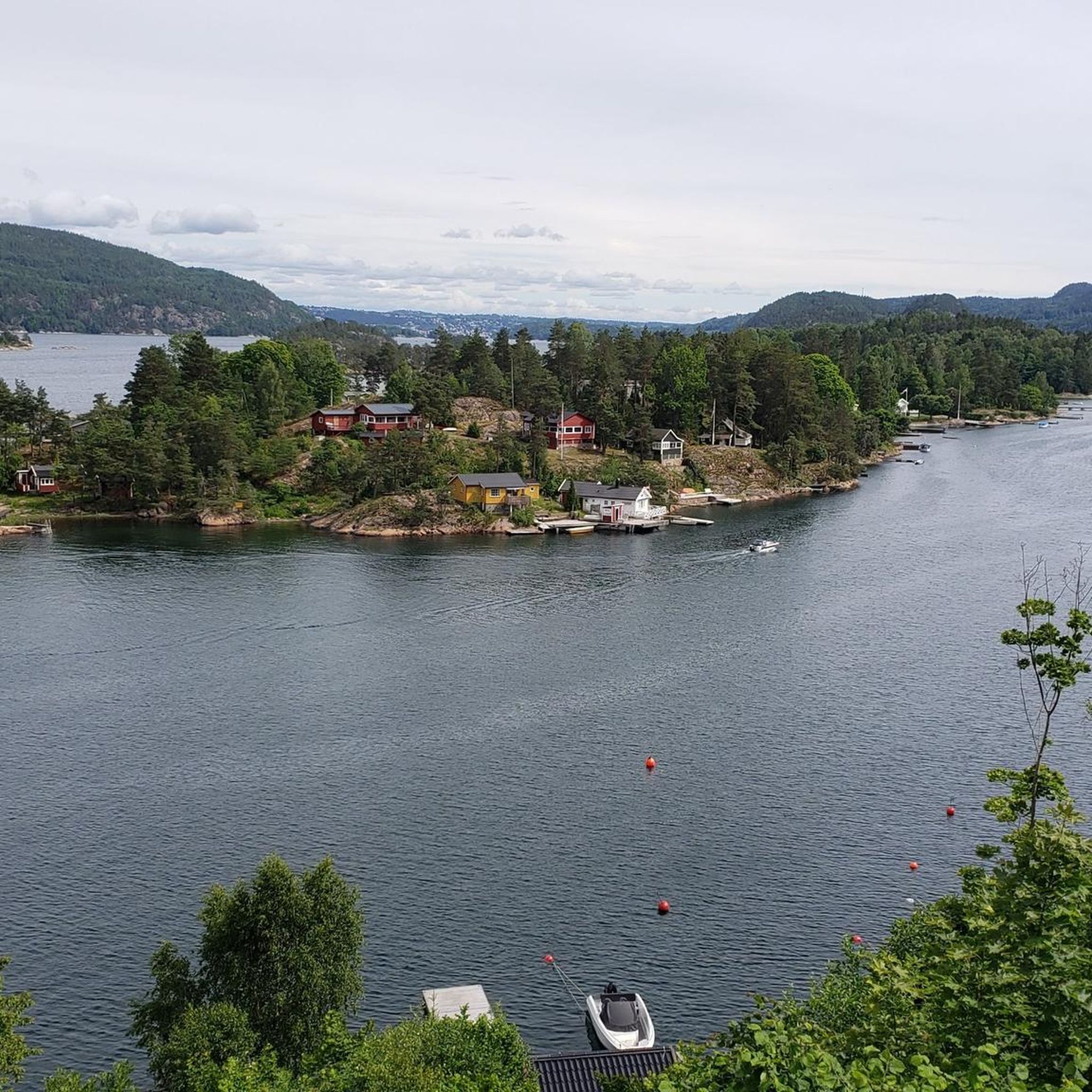
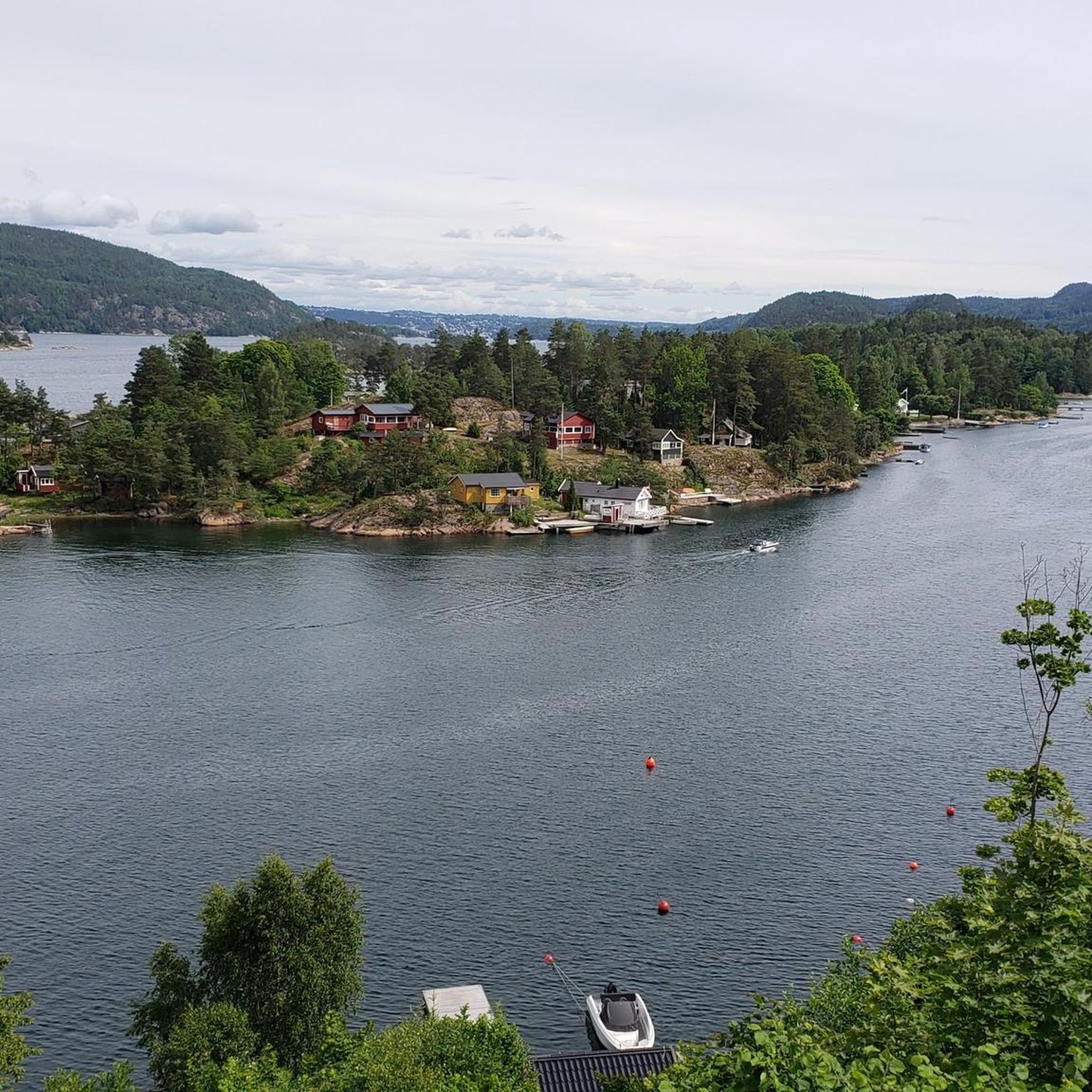
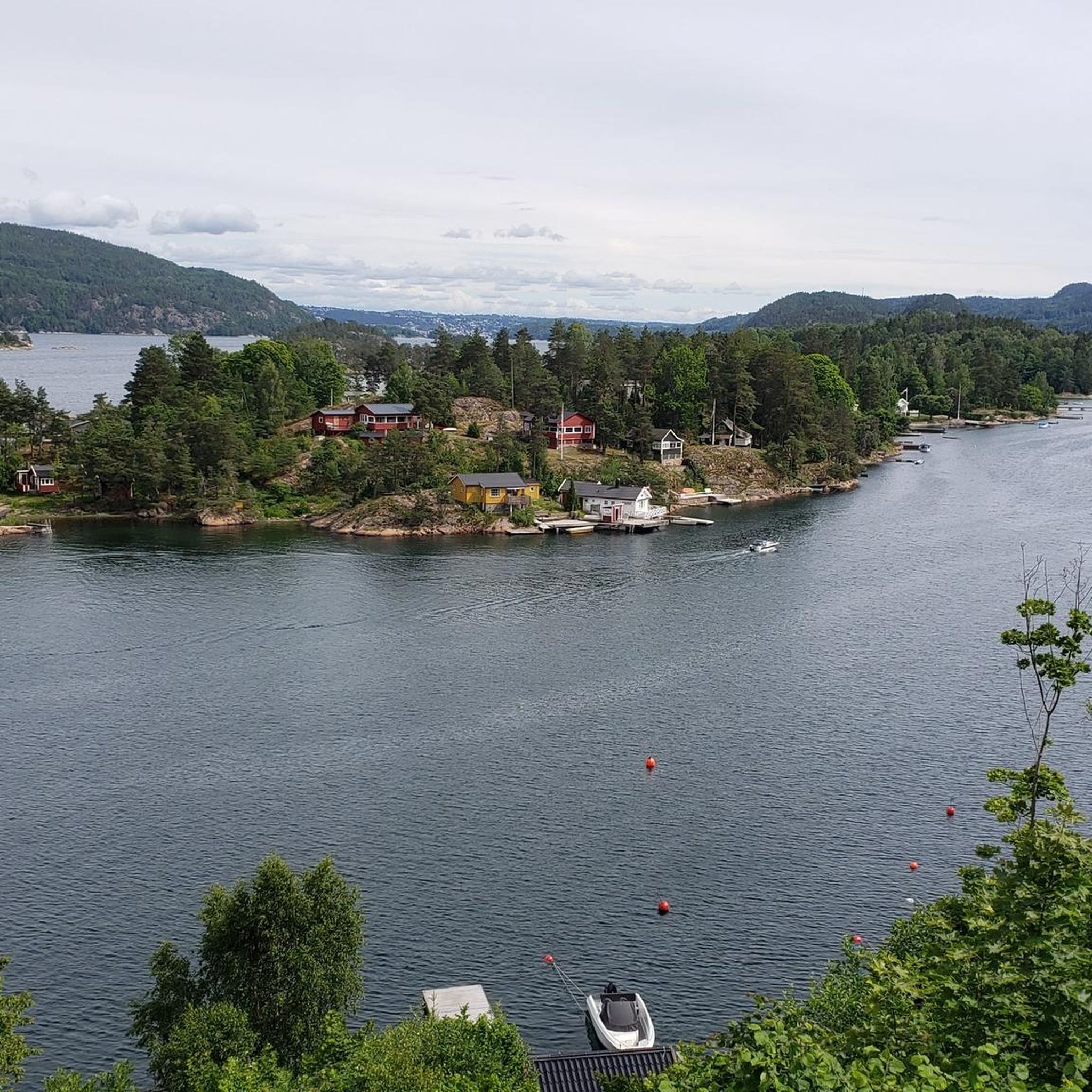
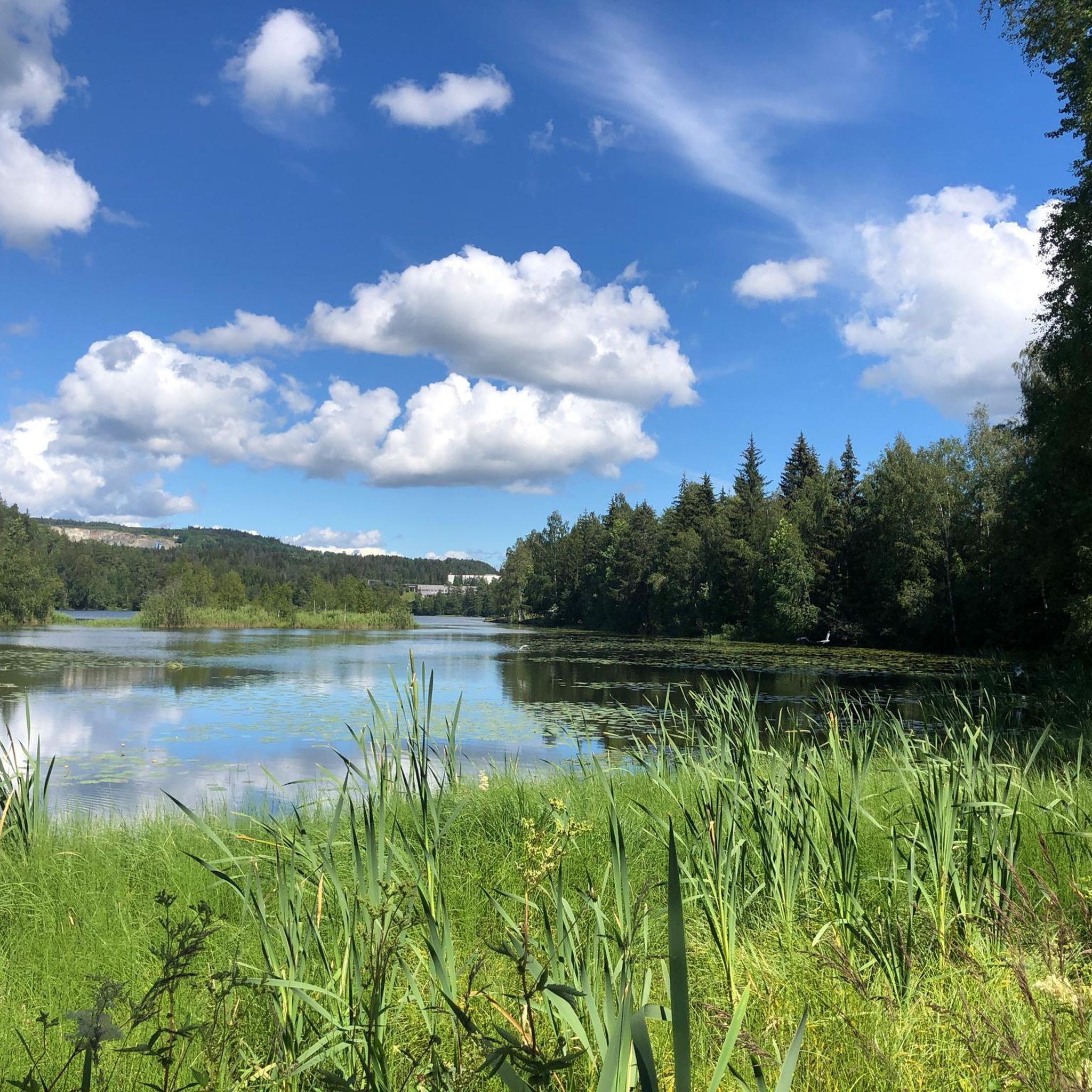
Jogging in Sandungåsen Naturreservat offers diverse landscapes and varied terrain in Buskerud, Norway. The reserve features a west-facing hillside sloping towards the Drammensfjorden, alongside sections of Grauteruddalen, Vardeåsen, and Kringlefjell. This topography creates undulating paths and elevation changes, providing a dynamic running experience. The area is characterized by diverse vegetation, including old-growth and mixed forests, contributing to a rich ecological environment for runners to explore.
Best jogging routes in Sandungåsen Naturreservat
- The most popular jogging route is Mellomdammen – Bestondammen…
Last updated: July 10, 2026
3
runners
5.74km
00:43
170m
170m
Moderate run. Good fitness required. Mostly paved surfaces. Suitable for all skill levels.
5.0
(1)
9
runners
14.7km
01:35
240m
240m
Moderate run. Good fitness required. Mostly paved surfaces. Suitable for all skill levels.

Sign up for free
8
runners
9.50km
01:03
170m
170m
Moderate run. Good fitness required. Mostly paved surfaces. Suitable for all skill levels.
5
runners
8.37km
00:54
150m
140m
Moderate run. Good fitness required. Mostly paved surfaces. Suitable for all skill levels.
5
runners
8.59km
00:55
130m
130m
Moderate run. Good fitness required. Mostly paved surfaces. Suitable for all skill levels.
Get access to more routes and recommendations from other explorers.
Sign up for free
Already have an account?
Our route recommendations are based on thousands of hikes, rides, and runs completed by other people on komoot.
Start today with a free account
Your next adventure awaits.
Login or Signup

Frequently Asked Questions
How many running routes are available in Sandungåsen Naturreservat?
Sandungåsen Naturreservat offers a wide selection of running routes, with a total of 38 trails documented on komoot. This includes 29 moderate and 9 difficult options, providing variety for different fitness levels.
What kind of terrain can I expect when running in Sandungåsen Naturreservat?
The reserve features diverse landscapes, including a west-facing hillside sloping towards the Drammensfjorden, as well as sections of Grauteruddalen, Vardeåsen, and Kringlefjell. This varied topography creates undulating paths and elevation changes, offering a dynamic running experience. You'll find a mix of easily-accessible paths and more challenging terrains.
Are there any easy running trails suitable for beginners in the reserve?
While the komoot data primarily lists moderate and difficult routes, the region research indicates that some trails are described as having 'easily-accessible paths' and are suitable for all fitness levels. For example, the 'Stikkvannskollen loop from Sembsporten' is an easy 4.45 km hike with 200m elevation gain, which can be a good starting point for beginner runners.
Can I bring my dog on the jogging routes in Sandungåsen Naturreservat?
The region research does not explicitly detail the dog policy for Sandungåsen Naturreservat. However, as a nature reserve, it's generally advisable to keep dogs on a leash to protect wildlife and ensure a pleasant experience for all visitors. Always check local signage upon arrival for specific regulations.
Are there family-friendly running options in Sandungåsen Naturreservat?
Yes, the reserve's diverse trail network includes options suitable for families. Routes with 'easily-accessible paths' and lower elevation gains, such as the 'Stikkvannskollen loop from Sembsporten', can be enjoyed by families looking for a less strenuous run or walk.
Where can I park my car when visiting Sandungåsen Naturreservat for a run?
Specific parking facilities are not detailed in the provided data. However, for routes starting from named locations like 'Sætre' or 'Røyken videregående skole', there are often public parking areas available nearby. It's recommended to check local maps or community information for the most convenient parking spots closest to your chosen trailhead.
Is Sandungåsen Naturreservat accessible by public transport for runners?
The data does not provide specific public transport details. However, given that some routes start from locations like 'Røyken videregående skole', it is likely that these points are served by local bus routes, making them accessible via public transport. Checking local transport schedules for Asker municipality would be advisable.
What are some notable natural features or viewpoints I might encounter on the trails?
The reserve is characterized by its west-facing hillside sloping towards the Drammensfjorden, offering potential views of the fjord. The varied topography, including sections of Grauteruddalen, Vardeåsen, and Kringlefjell, contributes to significant ecological diversity and scenic natural environments for runners to explore.
What is the best time of year to go jogging in Sandungåsen Naturreservat?
The reserve's diverse landscapes are enjoyable throughout the year. Spring and autumn offer pleasant temperatures and vibrant scenery, while summer provides longer daylight hours. Winter running is also possible, but conditions may vary, so checking local weather and trail conditions is recommended.
Are there any circular running routes in the reserve?
Yes, many of the popular running routes in Sandungåsen Naturreservat are circular, allowing you to start and end at the same point. Examples include Mellomdammen – Bestondammen loop from Sætre and Klevjerdammen – Vesledammen loop from Røyken videregående skole, which are well-loved by the komoot community.
What do other runners say about their experience in Sandungåsen Naturreservat?
The running routes in Sandungåsen Naturreservat are highly rated by the komoot community, with an average score of 5.0 stars from a couple of reviews. Over 250 runners have used komoot to explore the reserve, often praising its varied terrain and natural setting for a rewarding outdoor experience.
Are there any longer, more challenging running routes for experienced runners?
Absolutely. For experienced runners seeking a challenge, the reserve offers 9 difficult routes. Additionally, moderate routes like Klevjerdammen – Vesledammen loop from Røyken videregående skole, spanning 14.7 km with 245m elevation gain, provide a substantial workout through varied terrain.
Can I find refreshments or cafes near the running trails?
The provided data does not specify cafes or refreshment points directly within the nature reserve. However, routes starting from more populated areas like 'Sætre' or 'Røyken videregående skole' are likely to have amenities such as cafes or shops nearby where you can refuel before or after your run.
Most popular routes in Sandungåsen Naturreservat

Get inspired with the komoot mobile app


Explore more
Browse the best Running Trails & Routes in other regions.
