The best MTB trails in Vikersund-Bergsjø Biotopvernområde
3.0
(1)
12
riders
5
rides
Mountain biking in Vikersund-Bergsjø Biotopvernområde offers diverse landscapes in the Buskerud region of Norway. The area, while primarily a biotope protection zone for wetlands, is surrounded by varied terrain suitable for mountain biking. Riders can expect a mix of forests, hills, and cultural landscapes. The region provides a range of trails, from moderate to more challenging routes with significant elevation gains.
Best mountain bike trails in Vikersund-Bergsjø Biotopvernområde
- The most popular mountain bike trail is Gravfoss – Århanahallen loop from…
Last updated: July 1, 2026
3.0
(1)
5
riders
29.0km
02:06
420m
420m
Moderate mountain bike ride. Good fitness required. Advanced riding skills necessary.
2
riders
23.7km
01:43
450m
450m
Moderate mountain bike ride. Good fitness required. Suitable for all skill levels.

Sign up for free
2
riders
77.6km
04:40
710m
710m
Moderate mountain bike ride. Good fitness required. Advanced riding skills necessary.
2
riders
26.1km
02:23
590m
590m
Moderate mountain bike ride. Good fitness required. Suitable for all skill levels.
1
riders
Moderate mountain bike ride. Good fitness required. Advanced riding skills necessary.
Our route recommendations are based on thousands of hikes, rides, and runs completed by other people on komoot.
Start today with a free account
Your next adventure awaits.
Login or Signup

Tips from the Community

This crossing is a wooden suspension bridge that acts as an important waypoint in the regional hiking network, offering close-up views of the power of the rapids and the surrounding steep rock walls that define this rugged Norwegian landscape. The area around the bridge feels distinctive—cool, moving air, the constant roar of rushing water striking jagged rocks, and the way the wooden planks thump hollow underfoot reinforce the sense of isolation.
0
0
The Rapids Below the Dam represent a high-energy transition zone where managed water release meets the natural riverbed. For those navigating the surrounding trails, the environment is defined by the constant roar of turbulent water and a distinct microclimate of cool, oxygenated mist that supports lush mosses and ferns along the rocky banks.
0
0
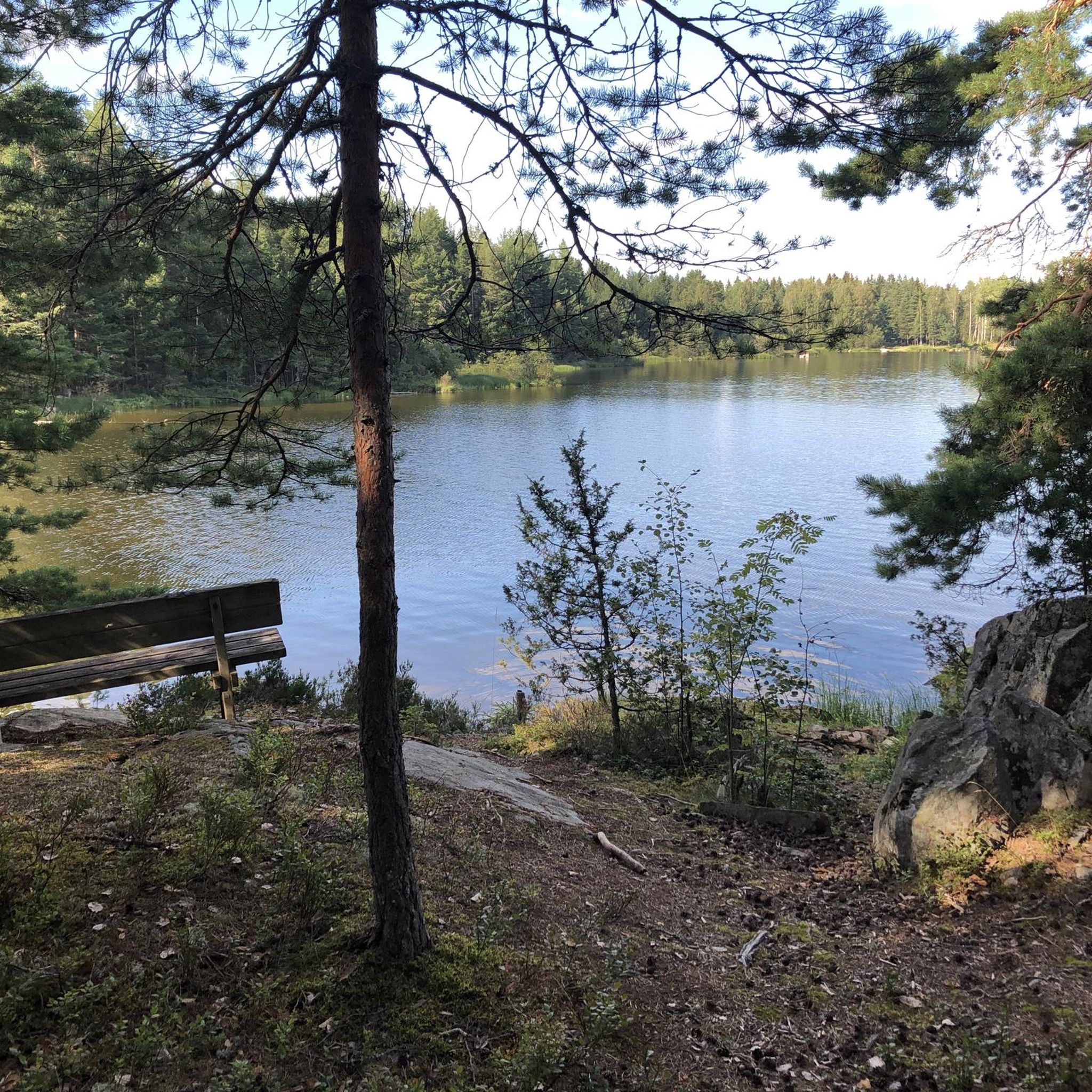
This sun-drenched section of forest is characterized by a high-canopy pine stand, where tall, uniform trunks allow ample light to reach the floor. For those exploring this area, the most striking feature is the dense carpet of heather and blueberry bushes that thrive in the acidic soil typical of the Norwegian interior. The environment is a study in vertical rhythm, as the long, sharp shadows cast by the afternoon sun emphasize the linear nature of the old-growth pines. This type of open woodland is ideal for low-impact off-trail navigation, offering a soft, mossy understory that feels both secluded and expansive. It serves as a classic example of a boreal transition zone, where the lack of dense shrubs at eye level provides excellent visibility for spotting local wildlife or identifying the subtle changes in terrain that lead toward nearby lakes.
0
0


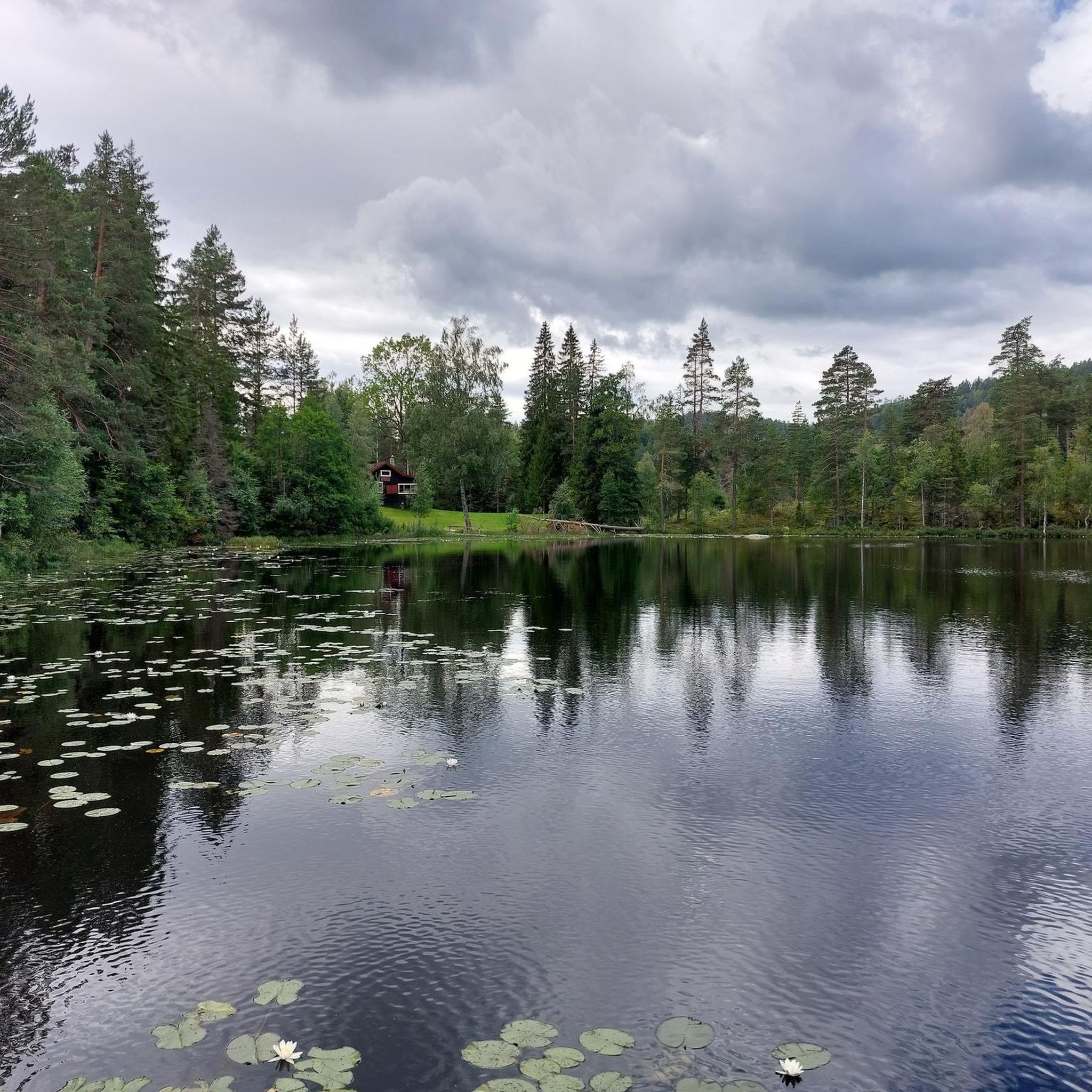
Campsite Natvet Camping Vikersund - with cabins, swimming spot, playground, WC and shower. Plenty of space for tents and campers. Inexpensive - payment is made at the entrance in the office. Beautiful spot with a view of the water.
0
0
Frequently Asked Questions
How many mountain bike trails are available in Vikersund-Bergsjø Biotopvernområde?
There are 5 mountain bike trails listed in the Vikersund-Bergsjø Biotopvernområde region on komoot, offering a range of experiences for different skill levels.
What is the typical terrain and difficulty level for mountain biking in this region?
The region offers varied terrain, including forests and hills, with all listed routes currently rated as moderate. These trails typically require good fitness and advanced riding skills, with some longer routes featuring significant elevation gains.
Are there any longer or more challenging mountain bike routes available?
Yes, for those seeking a longer and more challenging ride, the Kaggefoss – Sulusåsen loop from Vikersund is 77.0 km long with substantial elevation gain, often taking around 4 hours 41 minutes to complete. This route leads through forests and hills.
What is the best time of year for mountain biking in Vikersund-Bergsjø Biotopvernområde?
The best time for mountain biking in this region is generally during the warmer months, from late spring to early autumn, when trails are free of snow and ice. Always check local weather conditions before heading out.
Are there any circular mountain bike routes in the area?
Yes, all the mountain bike routes listed for Vikersund-Bergsjø Biotopvernområde are circular loops. Examples include the Gravfoss – Århanahallen loop from Geithus and the Kleiva – Brumyrhaugen loop from Vikersund.
What kind of natural features or landmarks can I expect to see along the trails?
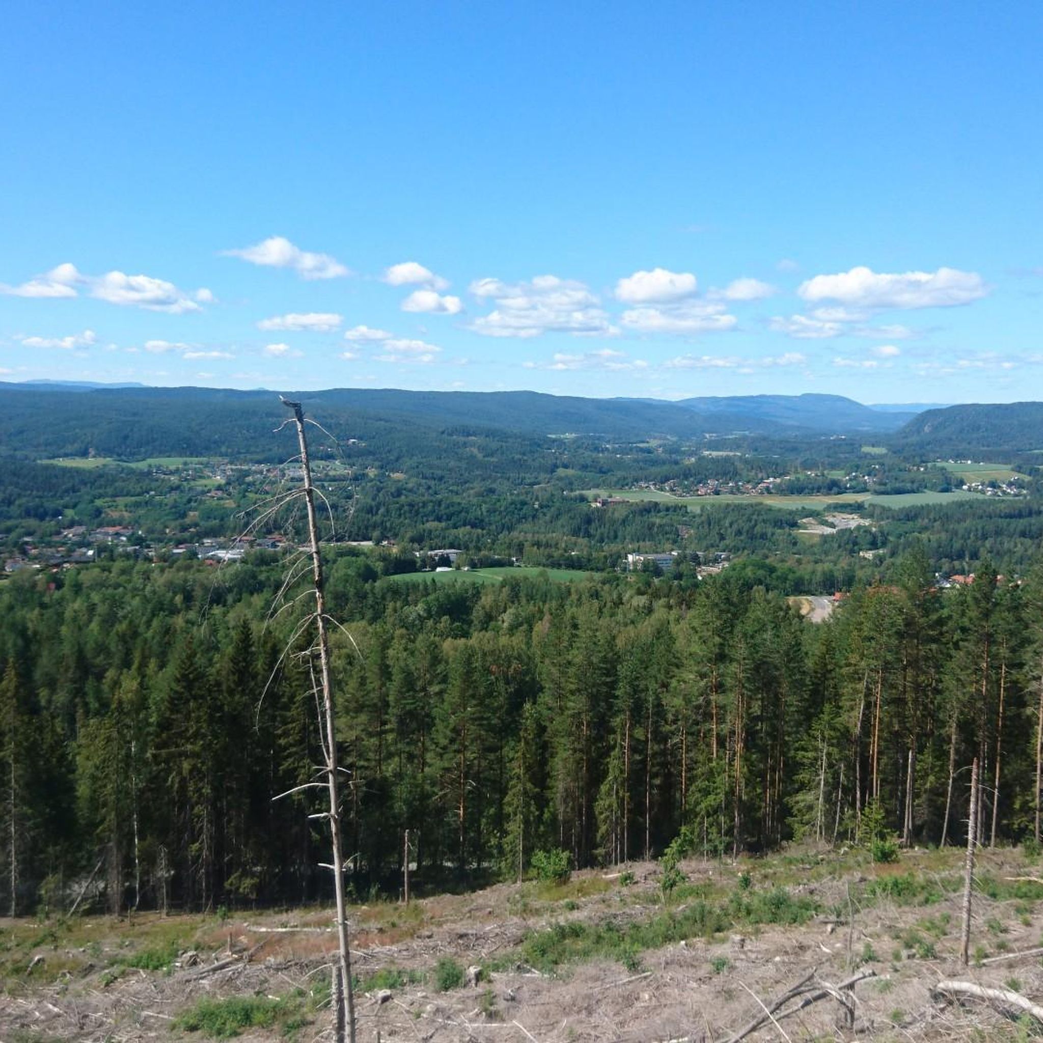
While the core Vikersund-Bergsjø Biotopvernområde is a wetland protection area, the surrounding region offers diverse landscapes. You can expect to ride through forests and hills, experiencing the natural beauty of the Buskerud region. The Trekåshøgda Viewpoint – View of the Kobalt Mine loop from Blaafarveværkets koboltgruver specifically highlights a viewpoint and the historic cobalt mines.
Is mountain biking allowed within the Vikersund-Bergsjø Biotopvernområde?
The Vikersund-Bergsjø Biotopvernområde is primarily a protected wetland area. While mountain biking opportunities are not typically found within the core wetland itself, the term is used more broadly to encompass the surrounding natural park and landscapes where mountain biking is permitted on designated trails.
Are there any family-friendly mountain biking options?
The routes in this guide are rated as moderate, requiring good fitness and advanced riding skills. While not specifically designated as 'family-friendly' for beginners, experienced families may find suitable challenges. For easier rides, consider exploring other komoot guides in nearby areas.
What do other mountain bikers enjoy most about the trails in Vikersund-Bergsjø Biotopvernområde?
The area is rated 3.0 stars by the komoot community. Riders often appreciate the varied landscapes, including forests and hills, and the range of moderate to challenging routes that showcase the region's natural beauty.
Where can I find parking for mountain biking trailheads?
Specific parking information for each trailhead is usually detailed on the individual route pages on komoot. For example, routes like the Kleiva – Brumyrhaugen loop and the Kaggefoss – Sulusåsen loop start from Vikersund, where parking options may be available.
Are there any cafes or pubs near the mountain bike trails?
The region includes towns like Vikersund and Geithus, which are likely to offer amenities such as cafes or pubs. You can check the specific starting points of routes like the Gravfoss – Århanahallen loop from Geithus or the Kleiva – Brumyrhaugen loop from Vikersund for nearby refreshment options.
Most popular routes in Vikersund-Bergsjø Biotopvernområde

Get inspired with the komoot mobile app


Explore more
Browse the best MTB trails in other regions.
