The best walks and hikes in Hestgjuvnatten Naturreservat
4.7
(66)
621
hikers
11
hikes
Hiking in Hestgjuvnatten Naturreservat offers diverse terrain in Buskerud county, Norway. The area is characterized by the prominent Hestgjuvnatten mountain, standing at 1069 meters, which provides a distinct landmark. Extensive old-growth forests contribute to the region's biodiversity, while the landscape transitions between forested areas and treeless mountain expanses.
Best hiking trails in Hestgjuvnatten Naturreservat
- The most popular hiking route is Rundenatten loop from Tempelsetra, a 4.7 miles (7.6 km) trail that takes 2 hours 29 minutes to complete. This…
Last updated: July 13, 2026
5.0
(2)
10
hikers
6.58km
02:18
250m
250m
Moderate hike. Good fitness required. Mostly accessible paths. Sure-footedness required.
3
hikers
7.46km
02:41
230m
230m
Moderate hike. Good fitness required. Mostly accessible paths. Sure-footedness required.

Sign up for free
12
hikers
7.60km
02:29
230m
230m
Moderate hike. Good fitness required. Mostly accessible paths. Sure-footedness required.
5.0
(2)
7
hikers
7.52km
02:29
250m
250m
Moderate hike. Good fitness required. Mostly accessible paths. Sure-footedness required.
24
hikers
8.35km
03:29
490m
490m
Moderate hike. Good fitness required. Mostly accessible paths. Sure-footedness required.
Get access to more routes and recommendations from other explorers.
Sign up for free
Already have an account?
Our route recommendations are based on thousands of hikes, rides, and runs completed by other people on komoot.
Start today with a free account
Your next adventure awaits.
Login or Signup
Popular around Hestgjuvnatten Naturreservat
Tips from the Community

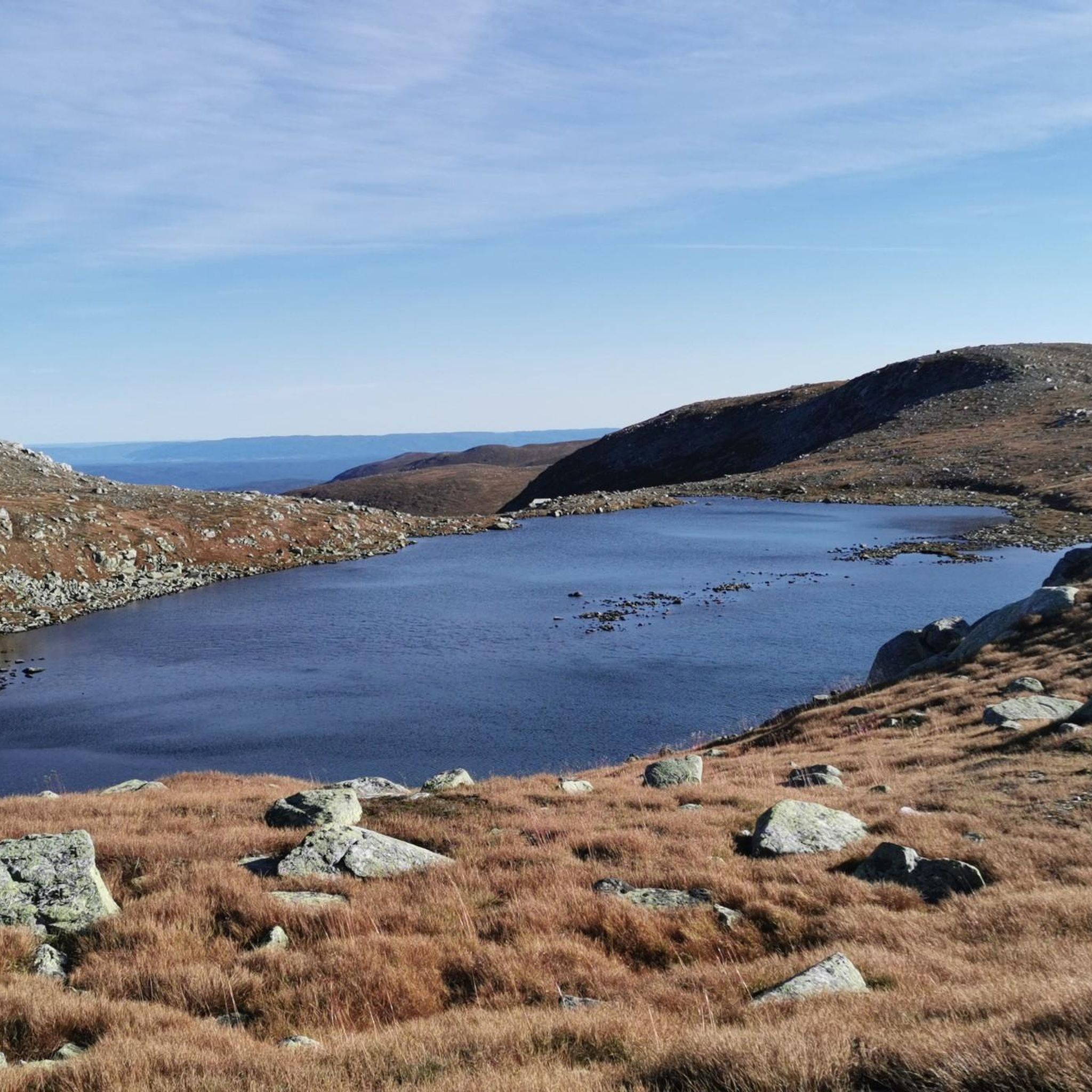
At 1,052 metres, Sauvallnattan gives you nice views out over the nearby lakes and over towards Hesteleinnattan. The access to here is also quite easy.
0
0
At 1,183 metres, Hesteleinnattan is a pretty accessible peak. It is also known locally as "Hesteleinan". It makes for a good peak to do in winter or summer, and you have great views all round from the top. It is possible to see Store Knutsholstinden (2,341 metres) to the north on a good clear day.
0
0

Vardefjell is a 1,121-metre peak; from the summit, you get expansive views of the surrounding Hallingdal landscape, including the nearby Fyrisjøen lake and the Krøderen area.
0
0

Wonderful tour with a chance to see wild reindeer!
0
0
Frequently Asked Questions
What kind of terrain can I expect when hiking in Hestgjuvnatten Naturreservat?
Hestgjuvnatten Naturreservat offers a diverse landscape, transitioning between extensive old-growth forests and treeless mountain areas, known as 'fjell'. You'll encounter both mountainous and forested terrain, with trails ranging from moderate to difficult, often involving significant elevation changes.
Are there any prominent natural landmarks or viewpoints in the reserve?
Yes, the centerpiece of the reserve is the Hestgjuvnatten mountain itself, standing at 1069 meters. Its isolated location and distinctive, 'bold shape' make it a striking landmark, especially when viewed from the south, offering potential for panoramic views from its summit. The ancient, untouched old-growth forests are also a significant natural feature.
What is the best time of year to go hiking in Hestgjuvnatten Naturreservat?
The best time for hiking in Hestgjuvnatten Naturreservat is typically during the warmer months, from late spring to early autumn (June to September). During this period, trails are generally free of snow, and the weather is more stable, making for more enjoyable and safer hiking conditions. Always check local weather forecasts before heading out.
Are there any family-friendly hiking options in Hestgjuvnatten Naturreservat?
While many trails are categorized as moderate to hard, some of the moderate routes can be suitable for families with older children who have good fitness levels. For example, the Rundenatten loop from Tempelsetra is a moderate 7.6 km trail that takes around 2.5 hours, offering a good introduction to the area's forest and mountain scenery.
Can I bring my dog on the hiking trails in Hestgjuvnatten Naturreservat?
Generally, dogs are welcome on trails in Norwegian nature areas, but they must be kept on a leash, especially during certain periods to protect wildlife, particularly during nesting and lambing seasons (typically April 1 to August 20). Always ensure your dog is under control and follow local regulations and signage within the reserve.
How many hiking trails are available in Hestgjuvnatten Naturreservat?
There are 8 distinct hiking trails recorded in Hestgjuvnatten Naturreservat. These routes offer a mix of difficulties, with 5 moderate trails and 3 more challenging options, catering to various experience levels.
What do other hikers say about their experience in Hestgjuvnatten Naturreservat?
The area is highly rated by the komoot community, with an average score of 4.8 stars from over 60 reviews. Hikers often praise the diverse terrain, the beauty of the old-growth forests, and the rewarding views from higher elevations. Over 500 hikers have used komoot to explore the varied landscape here.
Are there any circular hiking routes in Hestgjuvnatten Naturreservat?
Yes, several popular routes in the reserve are circular, allowing you to start and end at the same point. Examples include the Rundenatten loop from Tempelsetra, the Sauvallnattan loop from Sauvallnattan, and the longer Høgevard DNT Hut – Høgevarde Summit loop from Utsikten.
What is the most challenging hike available in the reserve?
For experienced hikers seeking a significant challenge, the Ranten Summit (1,419 m) – Høgevarde Summit loop from Tempelsetra is the most difficult. This extensive route spans 22.1 km with over 1,000 meters of elevation gain, typically requiring around 9 hours to complete.
Is there public transport access to Hestgjuvnatten Naturreservat?
Information on direct public transport to the trailheads within Hestgjuvnatten Naturreservat is limited. Visitors typically rely on personal vehicles to reach starting points like Tempelsetra or Utsikten. It's advisable to plan your journey with a car or check local bus services to nearby towns and arrange further transport if needed.
Where can I find parking for the hiking trails?
Parking is generally available at common starting points for trails, such as Tempelsetra or Utsikten. These locations serve as access points for several popular routes, including the loops to Rundenatten and Høgevarde. Always look for designated parking areas and respect any local signage or fees.
What kind of unique natural features can I observe in Hestgjuvnatten Naturreservat?
Beyond the prominent Hestgjuvnatten mountain, the reserve is notable for its exceptional biological diversity, particularly within its extensive areas of unusually old and largely untouched forest. These ancient woodlands provide a rich habitat and offer a glimpse into a pristine natural ecosystem.

Get inspired with the komoot mobile app


Explore more
Browse the best Hikes in other regions.
