The best running trails in Bandaksliane Og Lynglifjell Naturreservat
4.6
(5)
101
runners
7
runs
Jogging routes in Bandaksliane Og Lynglifjell Naturreservat traverse a diverse landscape, ranging from the shoreline of Bandak lake at 72 meters above sea level to peaks reaching 930 meters. This region features varied topography, including dense forests, deep glacier-carved ravines, and sparkling mountain streams. The elevation changes offer a range of challenges for runners, from gentle paths to more demanding trail running.
Best jogging routes in Bandaksliane Og Lynglifjell Naturreservat
- The most popular jogging route is Storstraum – Sigrishaug loop…
Last updated: July 12, 2026
37
runners
10.1km
01:10
90m
90m
Moderate run. Good fitness required. Mostly paved surfaces. Suitable for all skill levels.
6
runners
5.83km
00:40
60m
60m
Moderate run. Good fitness required. Mostly paved surfaces. Suitable for all skill levels.

Sign up for free
5.0
(1)
6
runners
9.43km
01:08
290m
290m
Moderate run. Good fitness required. Mostly paved surfaces. Suitable for all skill levels.
29
runners
7.14km
00:49
60m
60m
Moderate run. Good fitness required. Mostly paved surfaces. Suitable for all skill levels.
13
runners
8.35km
00:59
80m
80m
Moderate run. Good fitness required. Mostly paved surfaces. Suitable for all skill levels.
Get access to more routes and recommendations from other explorers.
Sign up for free
Already have an account?
Our route recommendations are based on thousands of hikes, rides, and runs completed by other people on komoot.
Start today with a free account
Your next adventure awaits.
Login or Signup
Popular around Bandaksliane Og Lynglifjell Naturreservat
Tips from the Community

Here, next to the old lock, there is a small museum explaining the function and meaning of the locks, as well as information about wood rafting.
1
0
Frequently Asked Questions
How many running routes are available in Bandaksliane Og Lynglifjell Naturreservat?
There are 7 distinct running routes in Bandaksliane Og Lynglifjell Naturreservat, catering to various preferences. Most of these are moderate, with one easier option available.
Are there running routes for all fitness levels in the reserve?
Yes, Bandaksliane Og Lynglifjell Naturreservat offers a range of running paths suitable for different fitness levels. You'll find easily accessible paths for a gentle run, as well as more demanding trails with significant elevation changes for experienced runners.
What kind of scenery can I expect while jogging in Bandaksliane Og Lynglifjell Naturreservat?
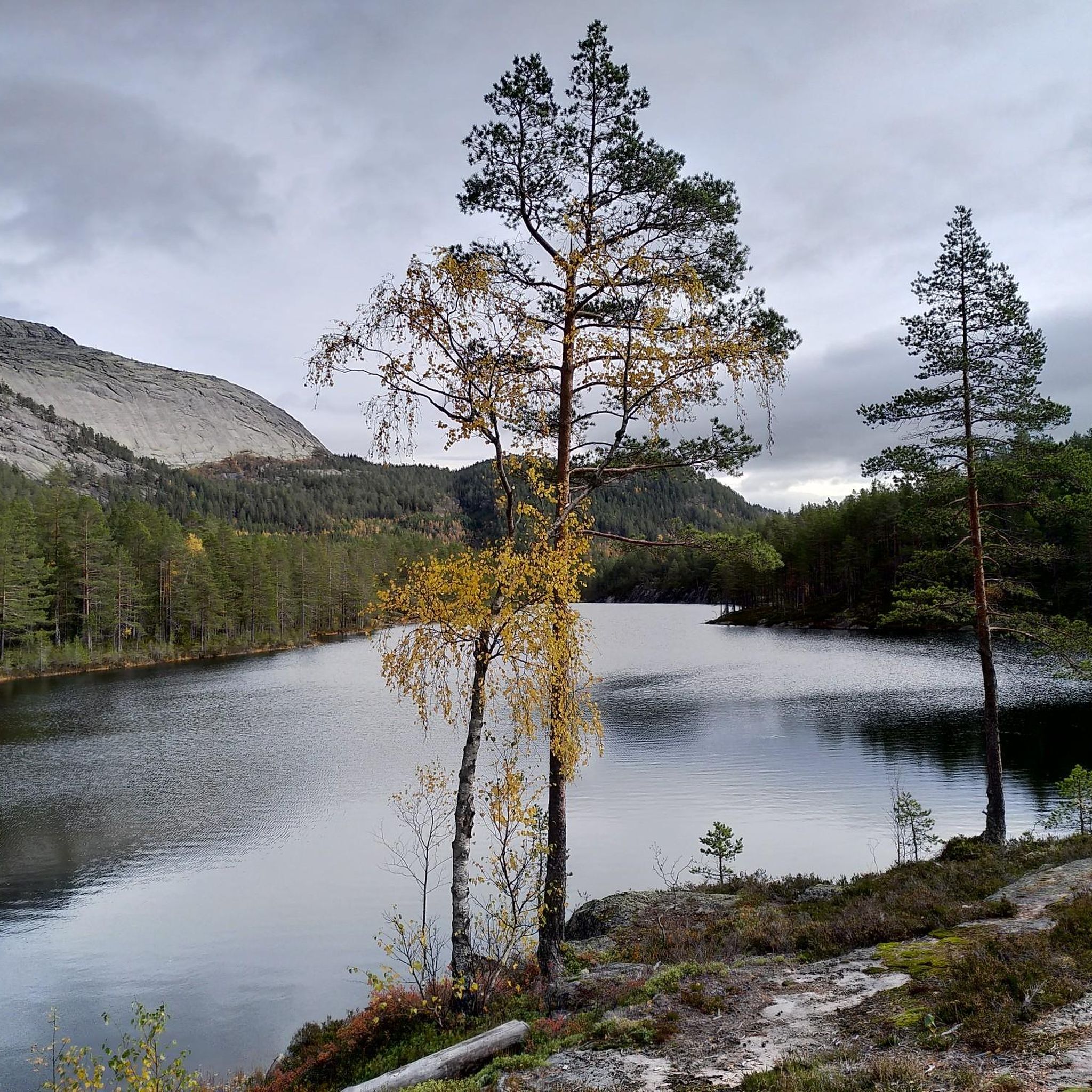
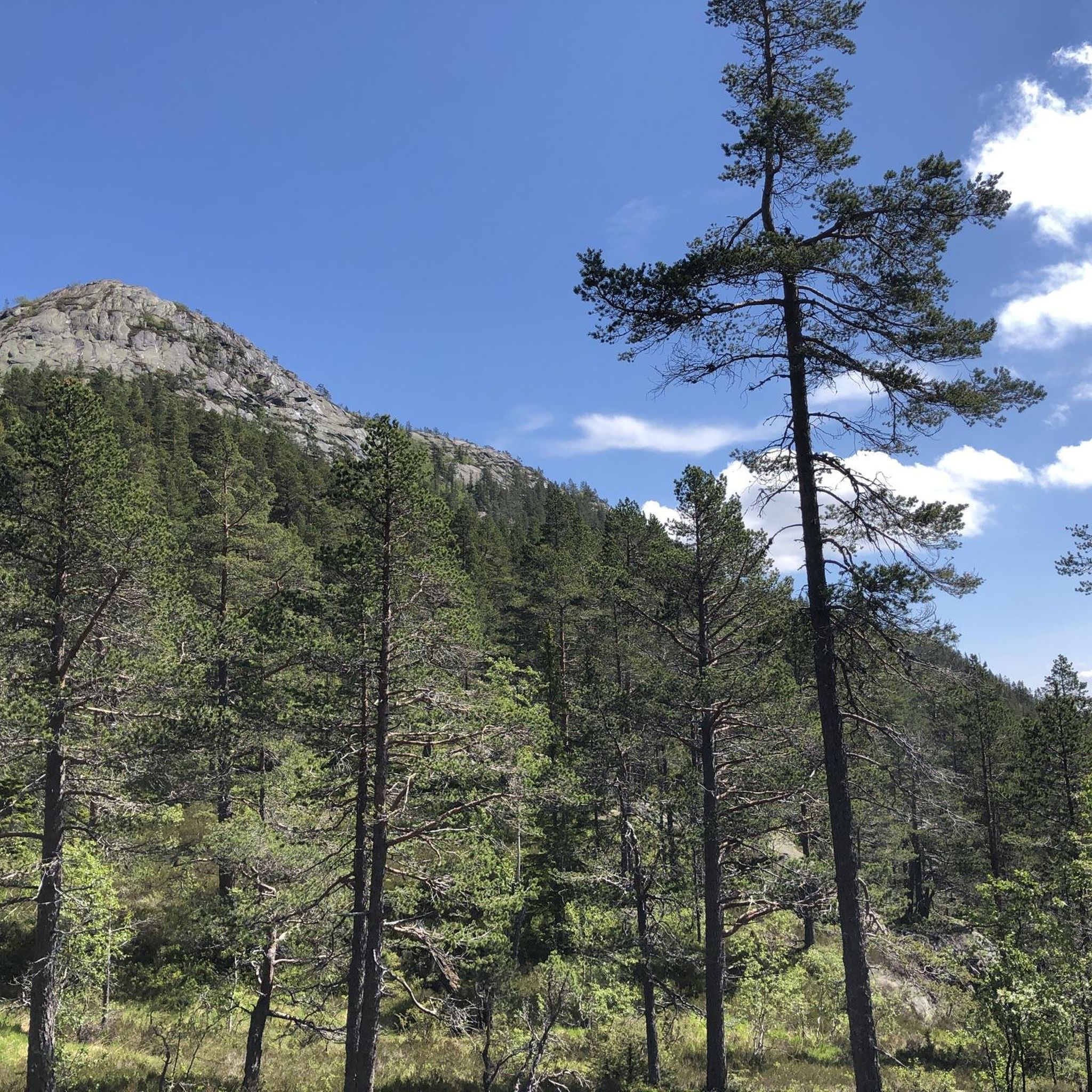
Joggers can enjoy breathtaking panoramic views of the valley, rolling hills, dense forests, and the winding river. Many routes offer serene vistas of Bandak lake, where the sky and surrounding hills reflect beautifully. You'll also encounter deep glacier-carved ravines and sparkling mountain streams.
What is the typical terrain like on the running paths?
The terrain is quite varied, ranging from paths alongside Bandak lake to trails through dense forests. Some sections may lead over wooden planks to cross damp areas, and you might encounter granite rocks near waterfalls. The elevation can range from 72 meters near the lake up to 930 meters at higher peaks.
Are there any running routes that pass by waterfalls?
Yes, the diverse terrain of Bandaksliane Og Lynglifjell Naturreservat includes routes that pass by waterfalls on granite rocks, adding to the scenic beauty of your run. For a route with varied terrain, consider the Fosshøgget – Støylslian loop from Fossøyi.
Can I find circular running routes in Bandaksliane Og Lynglifjell Naturreservat?
Absolutely. Many of the running paths in the reserve are designed as loops, allowing you to start and finish at the same point. A popular option is the Storstraum – Sigrishaug loop from Vrådal kyrkje, which is 10.1 km long.
Are the jogging trails in Bandaksliane Og Lynglifjell Naturreservat dog-friendly?
While the reserve is a natural area, specific regulations regarding dogs on trails can vary. It's generally advisable to keep dogs on a leash to protect wildlife and ensure a pleasant experience for all users. Always check local signage for any specific restrictions.
Are there family-friendly running paths available?
Yes, the reserve features easily-accessible paths that are suitable for families looking for a less strenuous run or walk. These routes often have gentler inclines and provide a great way to enjoy the natural surroundings together.
What do other runners say about the trails in Bandaksliane Og Lynglifjell Naturreservat?
The running routes in Bandaksliane Og Lynglifjell Naturreservat are highly rated by the komoot community, with an average score of 4.7 stars from 4 reviews. Runners often praise the varied terrain and the beautiful natural environment.
When is the best time of year to go running in the reserve?
The diverse landscape of Bandaksliane Og Lynglifjell Naturreservat makes it appealing throughout much of the year. Spring and autumn offer pleasant temperatures and vibrant foliage, while summer provides longer daylight hours. Always check local weather conditions before heading out.
Are there options for shorter, easier runs?
Yes, for those seeking a shorter and more manageable run, the Storstraum loop from Vrådal kyrkje is a moderate 5.8 km path with less elevation gain, making it a good choice for a quicker outing.
Are there longer running challenges available?
For a more challenging run, consider routes that incorporate significant elevation changes. The Fosshøgget – Støylslian loop from Fossøyi, for example, is 9.4 km with a substantial 286 meters of elevation gain, offering a good workout amidst varied terrain.
Most popular routes in Bandaksliane Og Lynglifjell Naturreservat

Get inspired with the komoot mobile app


Explore more
Browse the best Running Trails & Routes in other regions.
