The best MTB trails around Hilgert
4.6
(3166)
7,556
riders
491
rides
Mountain bike trails Hilgert are found in Germany's Westerwald district, an area characterized by rolling hills and dense forests. This diverse terrain provides an ideal setting for mountain biking, offering a mix of ascents and descents. The region's geography includes scenic valleys and natural conservation areas, making it suitable for various riding styles.
Best mountain bike trails around Hilgert
- The most popular mountain bike trail is Landshuber Pond Trail – Flürchen Conservation Area loop from Ransbach-Baumbach, a 18.5 miles…
Last updated: October 4, 2026
5.0
(9)
18
riders
21.5km
01:46
330m
330m
Moderate mountain bike ride. Good fitness required. Suitable for all skill levels.
4.7
(7)
12
riders
Hard mountain bike ride. Very good fitness required. Advanced riding skills necessary.

5.0
(2)
9
riders
28.6km
02:08
400m
400m
Moderate mountain bike ride. Good fitness required. Advanced riding skills necessary.
8
riders
17.8km
01:34
330m
330m
Moderate mountain bike ride. Good fitness required. Advanced riding skills necessary.
5.0
(10)
6
riders
17.8km
01:38
290m
290m
Easy mountain bike ride. Great for any fitness level. Suitable for all skill levels.
Get access to more routes and recommendations from other explorers.
Already have an account?
Our route recommendations are based on thousands of hikes, rides, and runs completed by other people on komoot.
Start today with a free account
Your next adventure awaits.
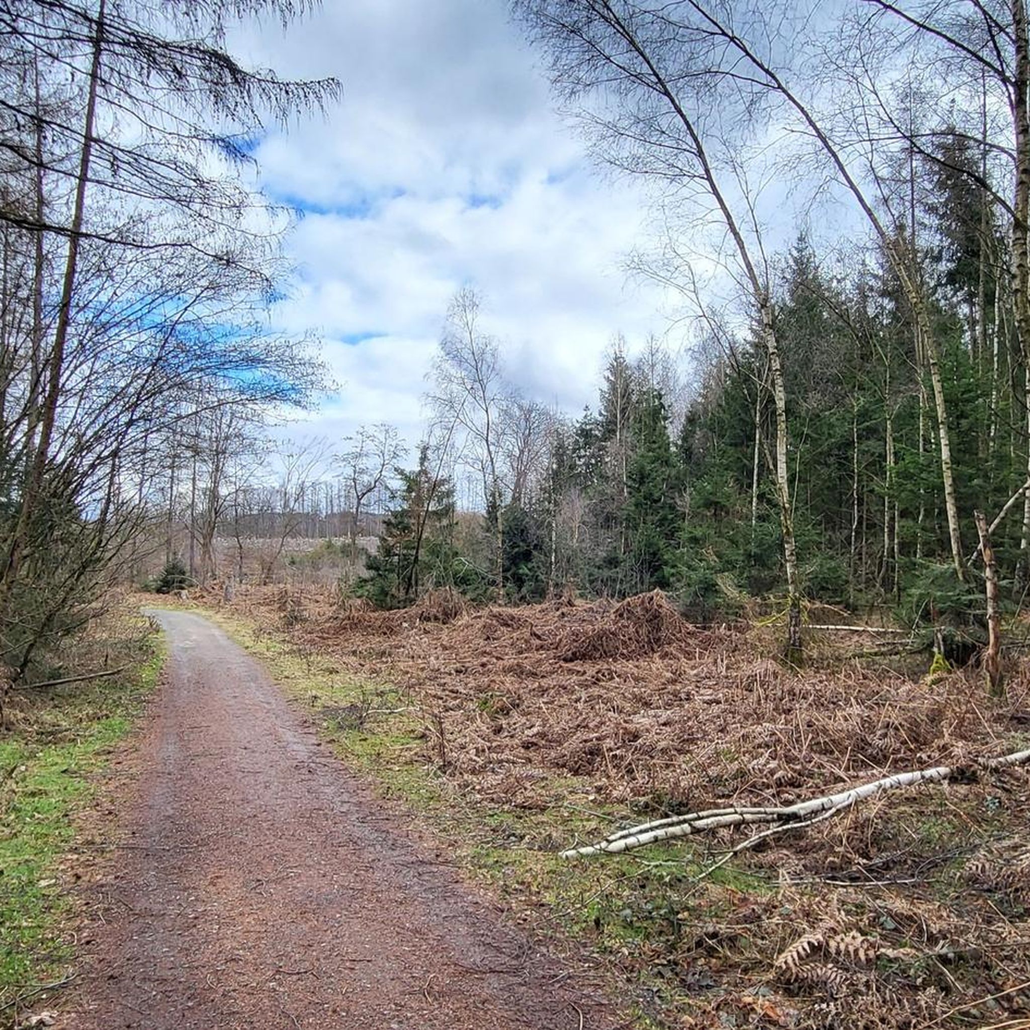
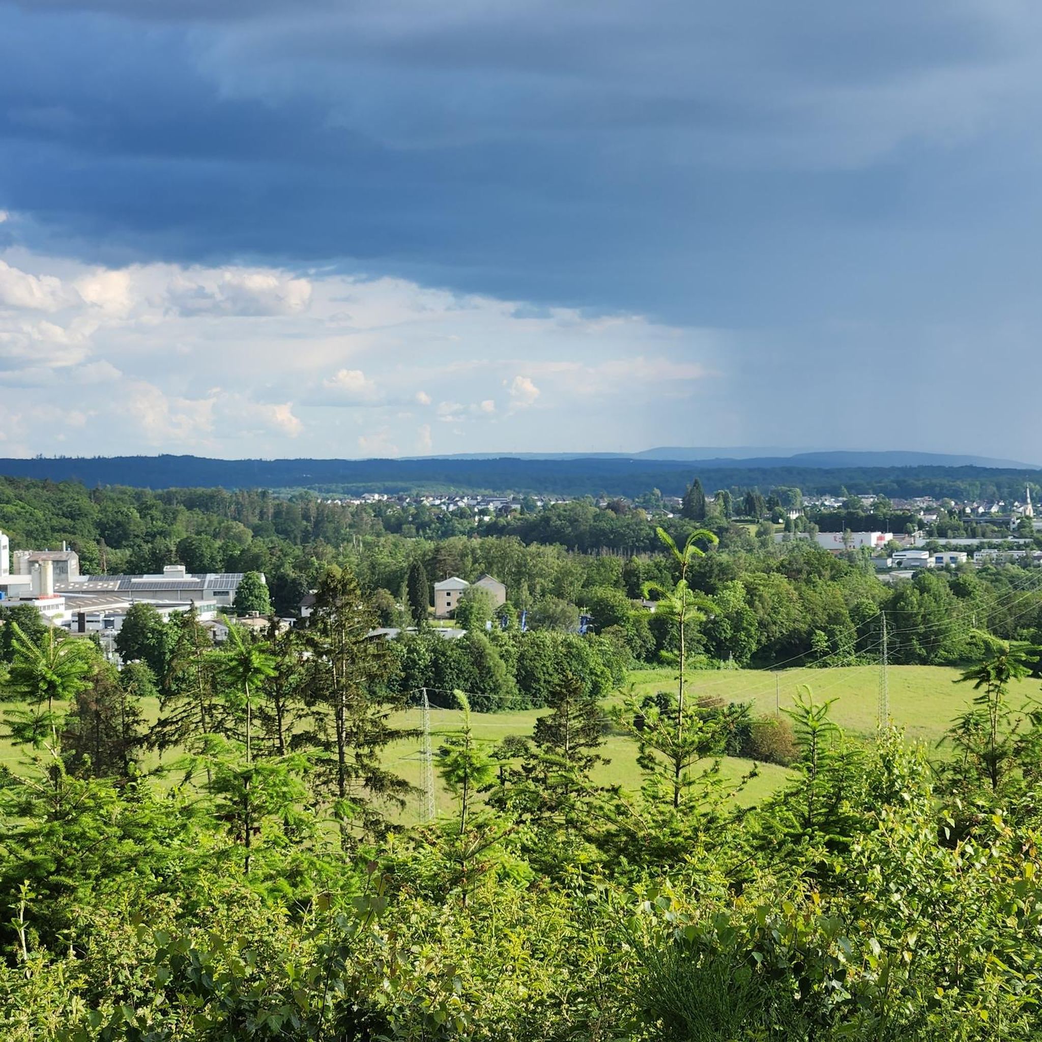
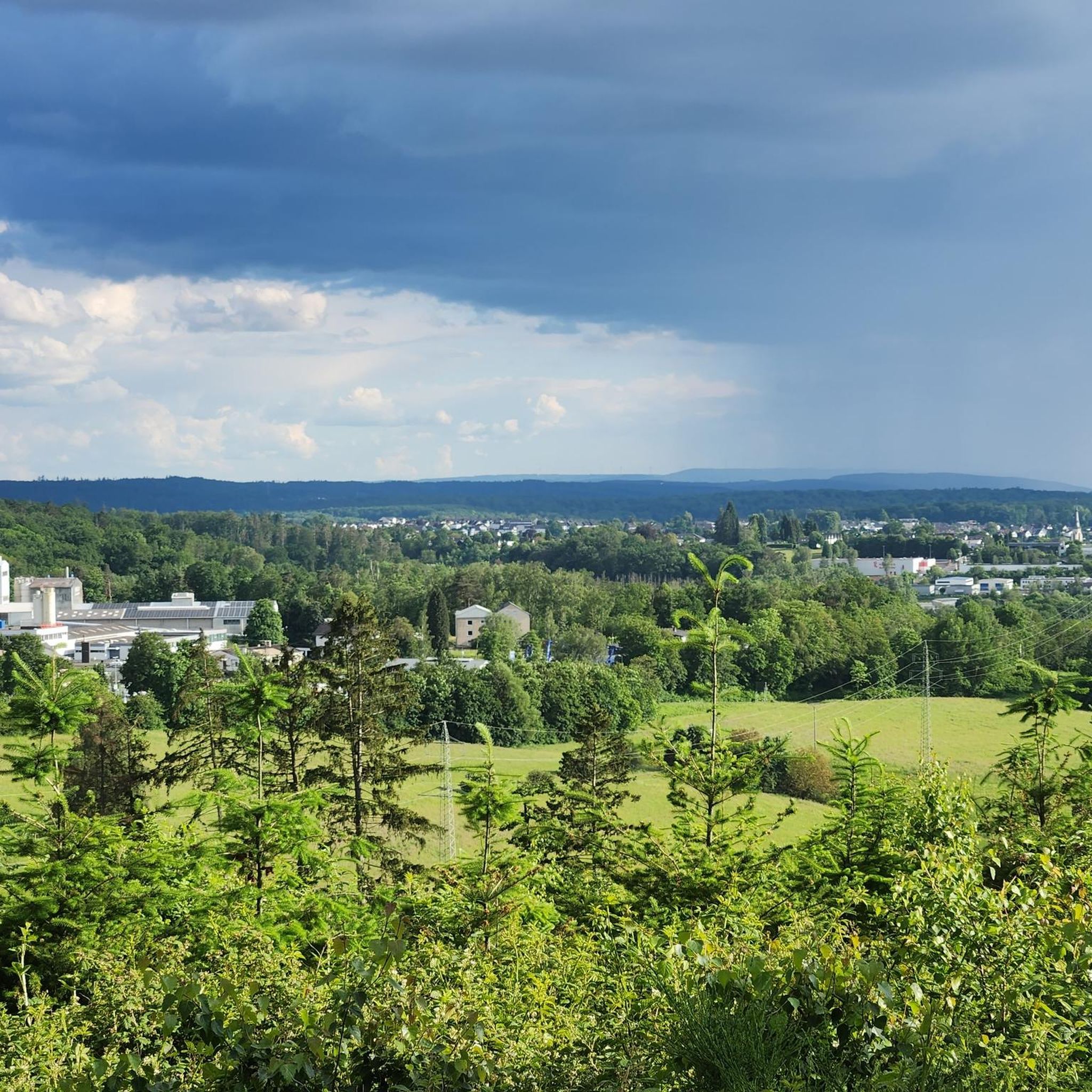
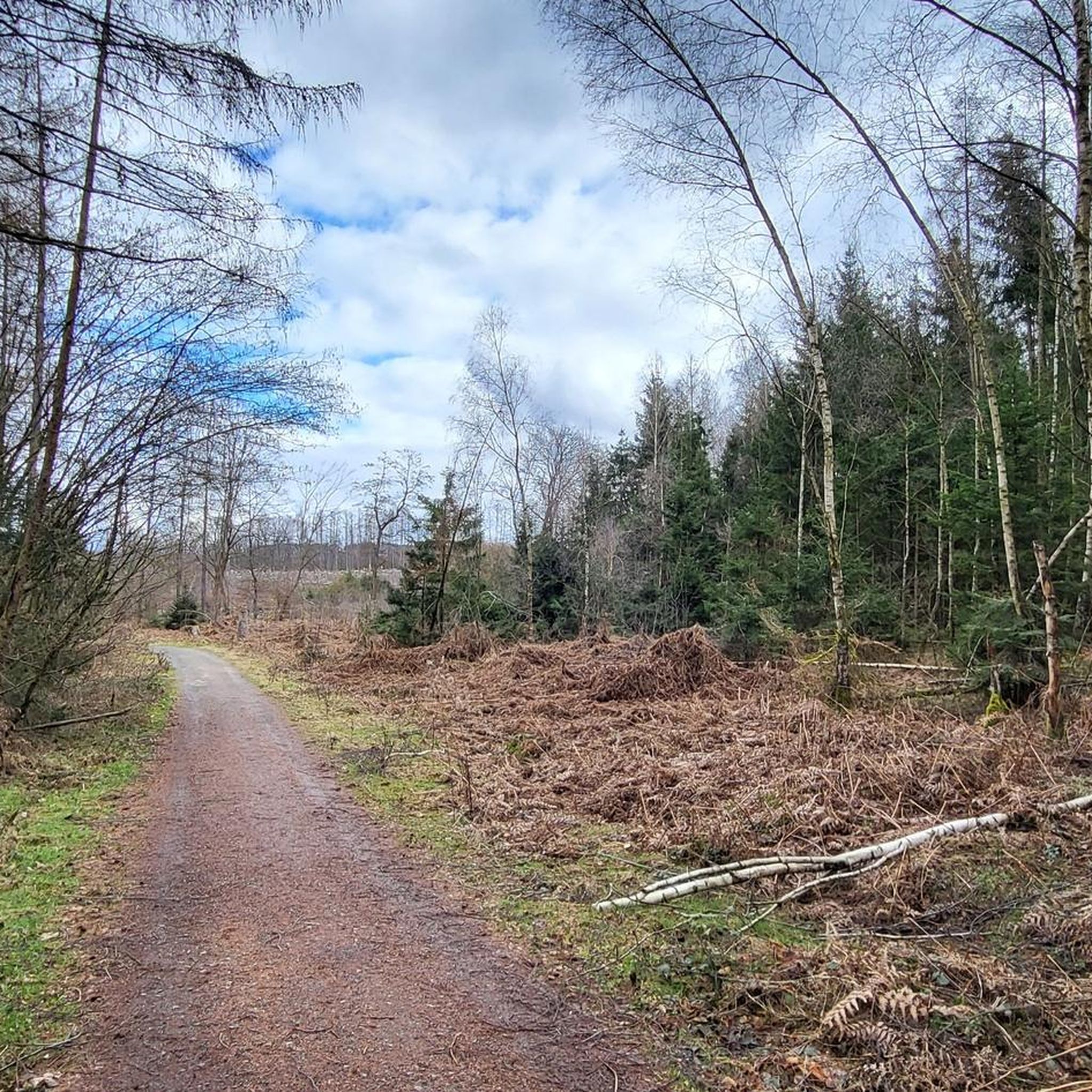
Tips from the Community

Currently impassable due to fallen trees
0
0

A striking crossroads in the forest of Ransbach-Baumbach, but be careful, there are 7 paths crossing here and unfortunately not all of them are passable due to the construction of the wind turbine
1
0

Good starting point for a descent through the Brexbachtal.
0
0


Every "meter" in the Brexbach valley promises pure nature and there is a risk of addiction...😂
1
0
The Brexbach Valley is a popular destination for many hikers/mountain bikers and cyclists. The upper part offers adventure, single trails and unspoiled landscapes. In the lower part you will find scout camps and campsites.
0
0
It is always worth taking a detour to the Bexbach Valley.
2
0
Rustic and natural, that is how the Brexbach Valley presents itself.
2
0
Frequently Asked Questions
How many mountain bike trails are available around Hilgert?
There are over 500 mountain bike trails around Hilgert, offering a wide variety of options for different skill levels and preferences. This includes routes through dense forests and rolling hills characteristic of the Westerwald district.
What are the difficulty levels of mountain bike trails around Hilgert?
The trails around Hilgert cater to various skill levels. You'll find approximately 120 easy routes, over 360 moderate routes, and about 35 more challenging trails. This diverse terrain includes both steep descents and demanding climbs.
What is the best time of year for mountain biking in Hilgert?
The best seasons for mountain biking in Hilgert are spring and autumn. During these times, the weather is mild, and the natural scenery is particularly vibrant. Autumn, in particular, offers beautiful views as the leaves change color across the dense forests.
Are there any family-friendly mountain bike trails in Hilgert?
Yes, Hilgert offers trails suitable for families. While specific 'family-friendly' routes aren't explicitly tagged, the region has a good selection of easy and moderate trails that are less demanding, allowing for enjoyable rides with children. Look for routes with lower elevation gain and shorter distances.
Are dogs allowed on the mountain bike trails around Hilgert?
Generally, dogs are permitted on mountain bike trails in the Hilgert region, especially if kept on a leash. However, it's always advisable to check local regulations or specific trail signage, particularly in nature conservation areas like the Flürchen Conservation Area, to ensure compliance.
Are there circular mountain bike routes available in Hilgert?
Many mountain bike routes around Hilgert are designed as loops, allowing you to start and end at the same point. For example, the Roman Spring – Hillscheid Small Roman Fortlet loop from Hilgert is a moderate 13.4-mile circular path that combines natural landscapes with historical landmarks.
What kind of scenic views can I expect on the mountain bike trails in Hilgert?
Mountain biking in Hilgert offers diverse scenic views, including rolling hills, dense forests, and picturesque valleys. Many trails provide vistas over the Westerwald landscape. The Grenzau Castle – View of Köppel loop from Höhr-Grenzhausen, for instance, offers views towards the Köppel Observation Tower.
Are there any notable landmarks or natural features along the mountain bike trails in Hilgert?
Yes, the trails often pass by interesting landmarks and natural features. You might encounter the Flürchen Conservation Area, the Landshuber Pond, or the Köppel Observation Tower. The Landshuber Pond Trail – Flürchen Conservation Area loop from Ransbach-Baumbach is a great example of a route exploring such natural beauty.
Is parking available near the mountain bike trails in Hilgert?
Yes, parking is generally available near trailheads and popular starting points in and around Hilgert. For example, the Flürchen area is known to have parking facilities, making it convenient to access trails.
What do other mountain bikers enjoy most about the trails in Hilgert?
The mountain bike trails in Hilgert are highly rated by the komoot community, with an average score of 4.6 stars from over 2900 reviews. Riders often praise the varied terrain, the mix of challenging climbs and descents, and the beautiful natural landscapes of the Westerwald district.
Are there any particularly challenging mountain bike trails in the Hilgert area?
For experienced riders seeking a challenge, Hilgert offers more difficult routes. The Brexbach Valley Trail – Brexbach at the foot of Teufelsberg loop from Hilgert is a demanding 29.6-mile trail with significant elevation changes, often taking over 4 hours to complete.
Can I find trails that lead past lakes or ponds in Hilgert?
Yes, several mountain bike routes in the Hilgert area pass by scenic lakes and ponds. The Flürchen – Landshuberweiher loop from Hilgert, for instance, takes you past the Landshuber Pond, offering pleasant views and resting spots.
Most popular attractions around Hilgert

Get inspired with the komoot mobile app


Explore more
Browse the best MTB trails in other regions.
