The best walks and hikes in Grøssås Naturreservat
4.7
(5)
71
hikers
1
hike
Hiking trails in Grøssås Naturreservat traverse a natural setting characterized by forested areas and slopes descending towards the Hellestveitvann-Mevann lakes. The reserve features a continuous area of low-herb oak forest on its south and southeast-facing hillsides. Hvitsteintjern Lake, a notable forest lake, offers designated rest areas. The terrain provides a diverse hiking experience with both woodland paths and routes offering views over the water.
Best hiking trails in Grøssås Naturreservat
- The most popular hiking route is Hvitsteintjern Lake loop from Skien Airport, Geiteryggen, a 3.8 miles (6.1 km) trail that takes 1 hour 40 minutes to complete. This easy route circles Hvitsteintjern Lake, offering forest and lakeside scenery.
- Another top favourite among local hikers is Rest Area on Pontoon Bridge – Hvitsteintjern Lake loop from Skien Airport, Geiteryggen, a moderate 5.6 miles (9.1 km) path. This route includes a pontoon bridge and extends around Hvitsteintjern Lake, providing varied forest and water views.
- Local hikers also love the Hvitsteintjern Lake – Rest Area on Pontoon Bridge loop from Skien Airport, Geiteryggen, a 3.3 miles (5.4 km) trail leading through forested areas and past the lake, often completed in about 1 hour 28 minutes.
- Hiking in Grøssås Naturreservat is defined by forested hillsides, oak woodlands, and lake-side areas. The network offers options for different ability levels, from easy loops to moderate paths.
- The routes in Grøssås Naturreservat are highly rated by the komoot community with an average score of 4.7 stars from 5 reviews. More than 70 hikers have used komoot to explore Grøssås Naturreservat's varied terrain.
Last updated: June 28, 2026
5.0
(1)
15
hikers
8.35km
02:31
270m
270m
Moderate hike. Good fitness required. Easily-accessible paths. Suitable for all skill levels.
5.0
(3)
14
hikers
6.09km
01:40
100m
100m
Easy hike. Great for any fitness level. Easily-accessible paths. Suitable for all skill levels.

Sign up for free
4.0
(1)
5
hikers
Moderate hike. Good fitness required. Mostly accessible paths. Sure-footedness required.
9
hikers
Easy hike. Great for any fitness level. Easily-accessible paths. Suitable for all skill levels.
1
hikers
5.18km
01:29
120m
120m
Easy hike. Great for any fitness level. Easily-accessible paths. Suitable for all skill levels.
Our route recommendations are based on thousands of hikes, rides, and runs completed by other people on komoot.
Start today with a free account
Your next adventure awaits.
Login or Signup
Popular around Grøssås Naturreservat
Tips from the Community

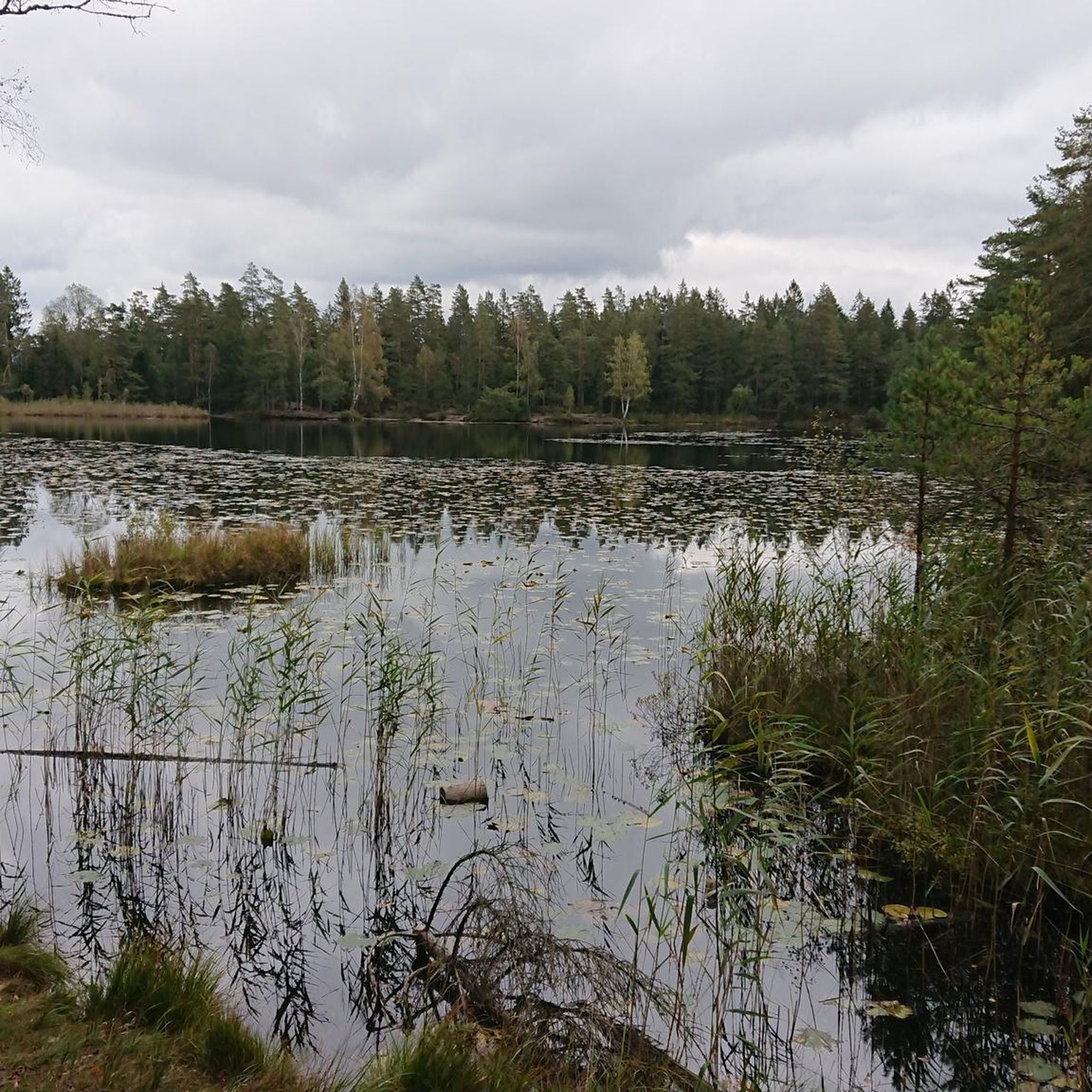
The trail passes through damp forest terrain with small ponds, marsh vegetation and peaceful woodland surroundings typical of the Norwegian coast inland forests.
0
0
Hørsfjell is the main viewpoint along this loop near Stathelle. From the rocky summit area, you get wide views over the surrounding forests and parts of the coastal landscape of Vestfold og Telemark.
0
0

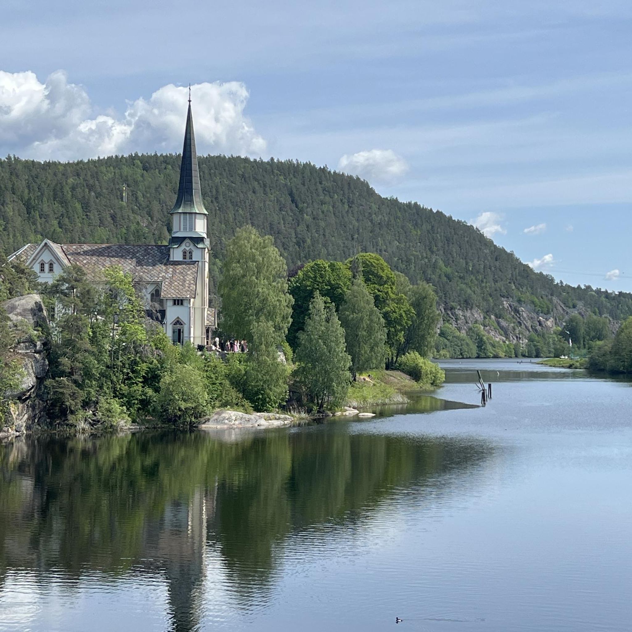
From this spot, you have a superb view of Porsgrunn, the river, and the rolling forests in the background. It’s also a pleasant place to take a break, as there are benches and tables available on site.
0
0

nice rest area on a pontoon bridge with bathing ladder
1
0
Hvitsteintjern is a beautiful lake in the forest with rest areas and swimming
1
0
Parking lot with hiking map and signposts
1
0
Frequently Asked Questions
What kind of terrain can I expect when hiking in Grøssås Naturreservat?
Grøssås Naturreservat features diverse terrain, including forested areas with partly steep south and southeast-facing slopes. You'll find extensive low-herb oak forests and paths that lead down towards the Hellestveitvann-Mevann lakes, offering both woodland experiences and views over the water. The trails range from relatively flat lakeside loops to routes with moderate elevation changes.
Are there any easy hiking trails suitable for beginners or families?
Yes, there are several easy trails. A popular option is the Hvitsteintjern Lake loop from Skien Airport, Geiteryggen, which is about 6.1 km long with an elevation gain of 95 meters, taking approximately 1 hour 40 minutes. This route circles Hvitsteintjern Lake, offering pleasant forest and lakeside scenery.
What are the more challenging hiking options in Grøssås Naturreservat?
For a more challenging experience, consider the Rest Area on Pontoon Bridge – Hvitsteintjern Lake loop from Skien Airport, Geiteryggen. This moderate route covers about 9.1 km with an elevation gain of 192 meters and typically takes around 2 hours 34 minutes to complete. It includes varied forest and water views, and features a pontoon bridge.
Are there any circular routes available?
Many of the trails in Grøssås Naturreservat are designed as circular routes, allowing you to start and end at the same point. Examples include the Hvitsteintjern Lake – Rest Area on Pontoon Bridge loop from Skien Airport, Geiteryggen, which is 5.4 km long, and the longer Rest Area on Pontoon Bridge – Hvitsteintjern Lake loop.
What natural features or landmarks can I expect to see?
The reserve is known for its beautiful natural features. You'll encounter extensive low-herb oak forests, and the trails often lead to the shores of Hellestveitvann-Mevann lakes. Hvitsteintjern Lake is a particular highlight, featuring designated rest areas and opportunities for swimming, including a pontoon bridge with a bathing ladder.
Is Grøssås Naturreservat suitable for dog walking?
While the guide data does not specify dog-friendly rules, nature reserves in Norway generally welcome dogs on trails, often requiring them to be leashed, especially during certain seasons to protect wildlife. It's always best to check local signage upon arrival for specific regulations regarding dogs in Grøssås Naturreservat.
What do other hikers say about the trails in Grøssås Naturreservat?
The trails in Grøssås Naturreservat are highly rated by the komoot community, with an average score of 4.7 stars from 5 reviews. Hikers often praise the scenic forest and lake environments, as well as the well-maintained paths that offer a diverse outdoor experience.
Are there any facilities like rest areas or swimming spots?
Yes, Hvitsteintjern Lake is a notable feature within the reserve that offers designated rest areas. It's also a beautiful forest lake with opportunities for swimming, including access via a pontoon bridge equipped with a bathing ladder, making it a refreshing stop during your hike.
What is the best time of year to go hiking in Grøssås Naturreservat?
The region's diverse forest and lake environment makes it appealing across seasons. Spring and autumn offer vibrant colors and comfortable temperatures, while summer is ideal for enjoying the lakes and swimming. Winter hiking is possible, but conditions may vary, and some paths might be covered in snow or ice.
How many hiking routes are available in Grøssås Naturreservat?
Komoot lists several hiking routes within Grøssås Naturreservat, offering options for various fitness levels. There are at least five distinct routes detailed, providing a good selection for exploring the area.
Are there any routes that offer views of nearby towns or cities?
While the primary focus of Grøssås Naturreservat is its natural landscape, some routes in the broader area, such as the View of Porsgrunn loop from Pors stadion, offer glimpses of nearby urban areas like Porsgrunn. This particular route is 5.6 km long and has an elevation gain of 122 meters.
What is the typical elevation gain on trails in Grøssås Naturreservat?
The elevation gain varies depending on the trail's difficulty. Easy routes, like the Hvitsteintjern Lake loop, have an elevation gain of around 95 meters. More moderate options, such as the Rest Area on Pontoon Bridge – Hvitsteintjern Lake loop, can involve up to 192 meters of elevation gain.

Get inspired with the komoot mobile app


Explore more
Browse the best Hikes in other regions.
