The best running trails in Auesøya Landskapsvernområde
4.8
(4)
191
runners
34
runs
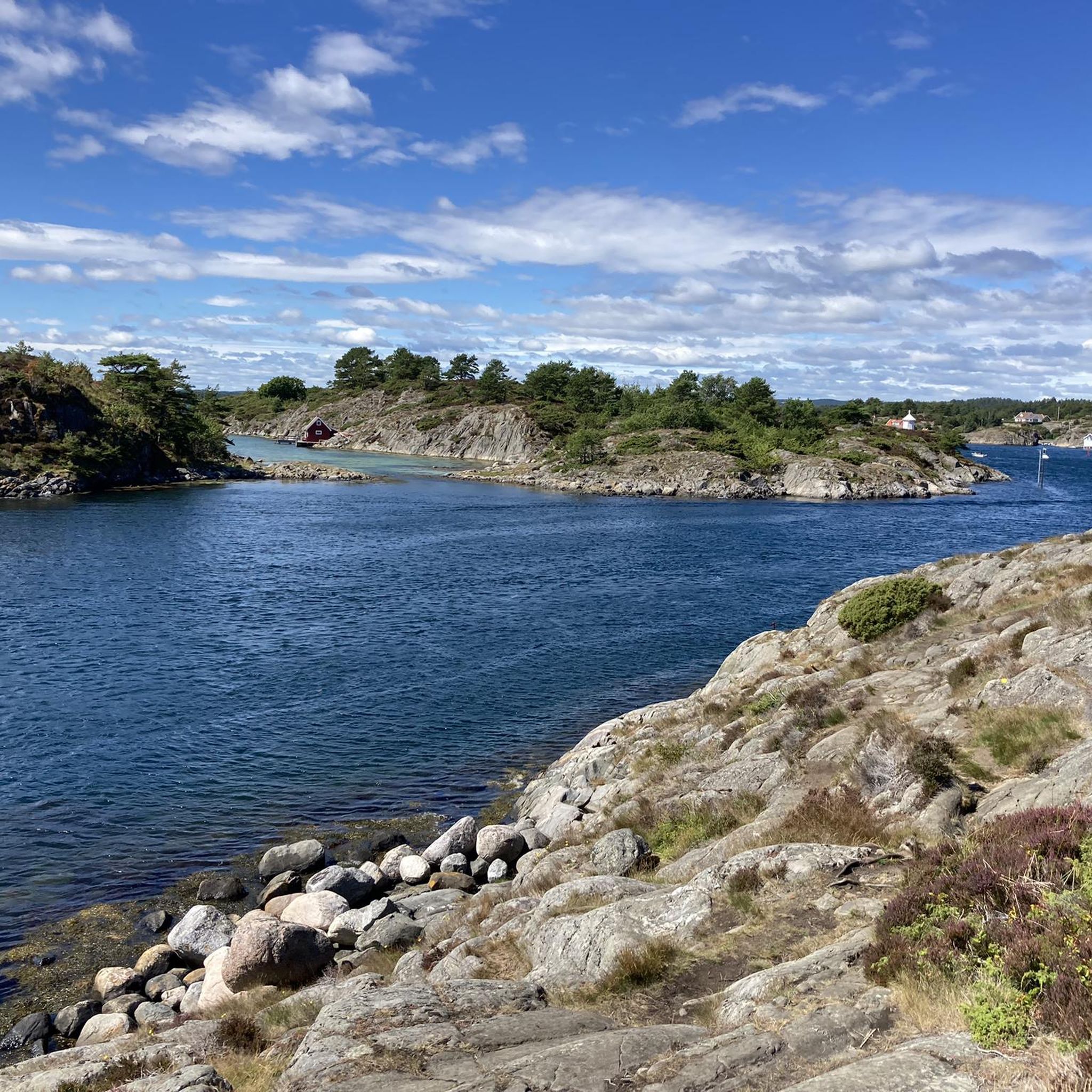
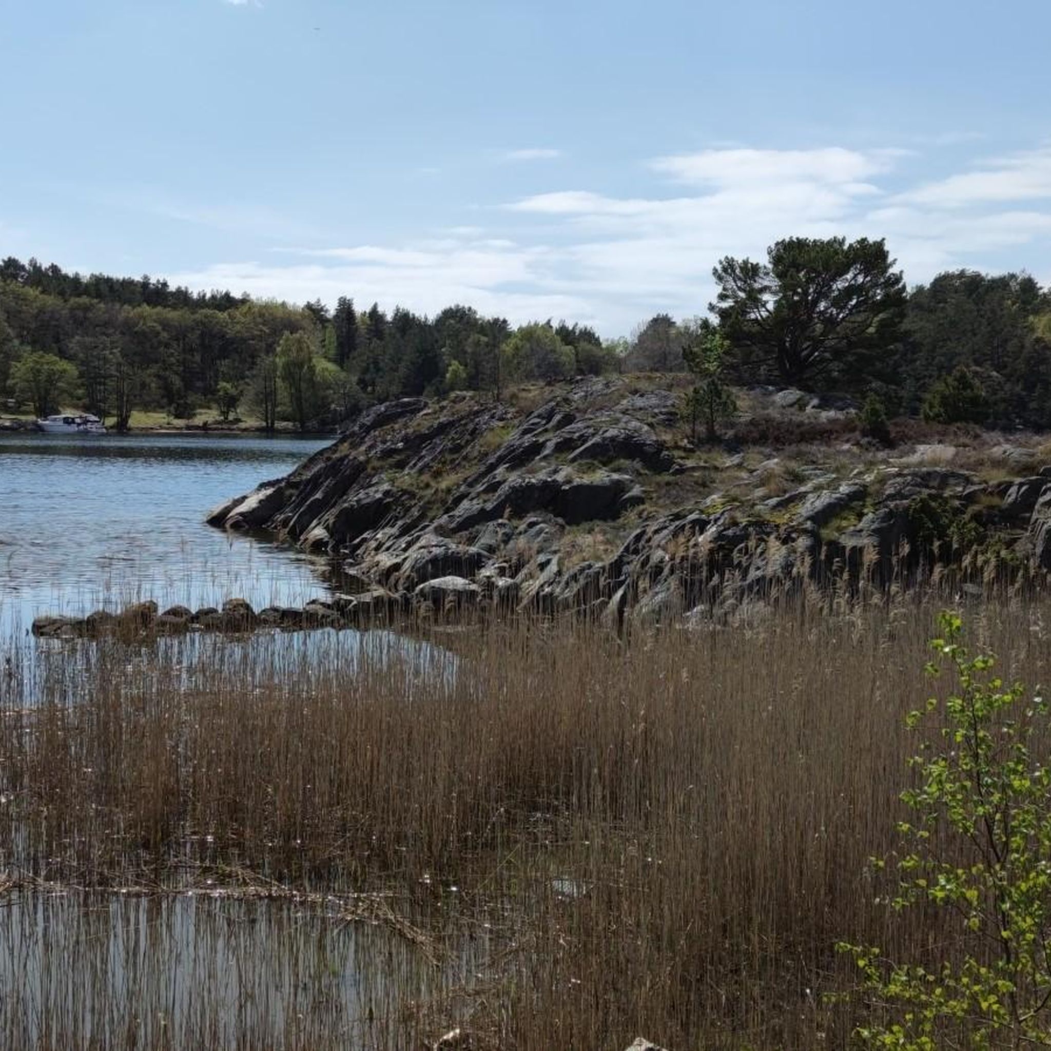
Jogging in Auesøya Landskapsvernområde offers routes through a protected area characterized by diverse coastal landscapes. The region features a mix of pine and blueberry-oak forests, beach meadows, and a rugged coastline with numerous bays and coves. While some terrain can be varied, marked culture trails provide accessible paths for running. The island is known for its rich flora and birdlife, offering a natural setting for outdoor activity.
Best jogging routes in Auesøya Landskapsvernområde
- The most popular jogging route is Running…
Last updated: June 28, 2026
5
runners
13.0km
01:22
120m
120m
Moderate run. Good fitness required. Mostly paved surfaces. Suitable for all skill levels.
5
runners
10.2km
01:11
160m
160m
Moderate run. Good fitness required. Mostly paved surfaces. Suitable for all skill levels.

Sign up for free
5
runners
3.70km
00:27
40m
40m
Easy run. Great for any fitness level. Mostly paved surfaces. Suitable for all skill levels.
3
runners
9.65km
01:01
110m
110m
Moderate run. Good fitness required. Mostly paved surfaces. Suitable for all skill levels.
4.0
(1)
11
runners
6.83km
00:43
70m
70m
Moderate run. Good fitness required. Mostly paved surfaces. Suitable for all skill levels.
Get access to more routes and recommendations from other explorers.
Sign up for free
Already have an account?
Our route recommendations are based on thousands of hikes, rides, and runs completed by other people on komoot.
Start today with a free account
Your next adventure awaits.
Login or Signup
Tips from the Community

Nice route. Steep sections but also a beautiful viewpoint!
0
0

This is a picturesque town on the south Norway coast. A great place to stop for refreshments around the pretty little harbour.
0
0

If you drive the route over the hinterland, you come directly to the Lachstreppe over a bridge over, you come as I over the main road, it's right about 50m in and you're right on the Lachstreppe. Overall, the natural grounds are embedded in a beautiful landscape.
1
0
Frequently Asked Questions
How do I get to Auesøya Landskapsvernområde for running?
Auesøya Landskapsvernområde is an island and is only accessible by boat. You'll need to arrange boat transport to reach the island's shores. There are several potential launch points from the mainland, such as Homborsund, Vessøya, Kaldvell, or Flørenes, where you might find parking for your vehicle before taking a boat across.
What kind of terrain can I expect on the running routes in Auesøya Landskapsvernområde?
The terrain in Auesøya Landskapsvernområde is quite varied, offering a mix of coastal pine forests, blueberry-oak forests, and beach meadows. While some parts feature rugged landscapes, there are also marked culture trails that are described as easy and suitable for running, providing scenic paths through diverse environments.
Are there running routes suitable for beginners or those looking for an easy jog?
Yes, Auesøya Landskapsvernområde offers options for various ability levels. There is at least one easy running route available, such as the Running loop from Hestholmen, which is approximately 3.7 km long. These easier trails often follow the island's marked culture paths.
How many running routes are available in Auesøya Landskapsvernområde?
Komoot features over 30 running routes in Auesøya Landskapsvernområde, catering to different preferences and fitness levels. The majority of these are moderate in difficulty, with a few challenging options and at least one easy route.
When is the best time of year to go jogging in Auesøya Landskapsvernområde?
Auesøya is particularly enchanting during spring, when thousands of daffodils and narcissus bloom, creating a spectacular floral display. This makes springtime a captivating period for a run. However, the island's diverse ecosystems and coastal beauty make it suitable for outdoor activities throughout the warmer months.
What natural features or landmarks can I see while running in Auesøya?
While running, you can explore Auesøya's diverse ecosystems, including coastal pine forests and beach meadows. The island boasts a strongly indented coastline with numerous bays and coves, such as 'Sokken' on the eastern side, known for its fine sandy beaches. You'll also encounter areas rich in flora and birdlife, and cultural heritage sites along the marked trails.
Are there any circular running routes on Auesøya Landskapsvernområde?
Yes, many of the running routes in the area are designed as loops, allowing you to start and finish at the same point. An example is the Running loop from Eide kirke, which is a moderate 9.9 km trail offering varied terrain and coastal views.
What do other runners enjoy the most about jogging in Auesøya Landskapsvernområde?
The running routes in Auesøya Landskapsvernområde are highly rated by the komoot community, with an average score of 4.75 stars. Runners often praise the varied coastal landscapes, the peaceful natural environment, and the well-maintained culture trails that offer a unique blend of nature and history.
Are dogs allowed on the running trails in Auesøya Landskapsvernområde?
Auesøya Landskapsvernområde is a protected area with rich wildlife. While specific dog rules for running trails are not detailed, it's generally advisable to keep dogs on a leash in protected natural areas to protect local flora and fauna, especially during bird nesting seasons. Always check local signage upon arrival for the most current regulations.
What is the typical length of running routes in Auesøya Landskapsvernområde?
The running routes in Auesøya Landskapsvernområde vary in length. For instance, you can find shorter, easy routes like the Running loop from Hestholmen at 3.7 km, up to longer, moderate trails such as the Tingsaker Marina – Tingsaker Camping loop from Heldal, which spans approximately 12.9 km.
Are there any family-friendly running options in Auesøya Landskapsvernområde?
Yes, the island's marked culture trails, particularly those described as 'easy' and around 6.2 km, are generally suitable for all seasons and can be a good option for families looking for a gentle run or walk. The fine sandy beaches at 'Sokken' also provide a pleasant spot for family outings after a jog.
Can I find cafes or other amenities near the boat access points to Auesøya?
While Auesøya itself is a natural conservation area with limited facilities, the mainland towns and villages near the boat launch points (such as Homborsund, Vessøya, Kaldvell, or Flørenes) would be the places to look for cafes, pubs, or other amenities before or after your visit to the island.
Most popular routes in Auesøya Landskapsvernområde

Get inspired with the komoot mobile app


Explore more
Browse the best Running Trails & Routes in other regions.
