The best walks and hikes around Hildrizhausen
4.6
(299)
1,652
hikers
76
hikes
Hiking around Hildrizhausen offers diverse natural landscapes, primarily characterized by the expansive Schönbuch Nature Park. This region features dense woodlands, rolling hills, and picturesque fields, providing varied terrain for hikers. The area also includes scenic bodies of water like Eppenzillsee lake and river valleys such as the Würm and Tübinger Au, alongside historic orchard landscapes.
Best hiking trails around Hildrizhausen
- The most popular hiking route is Kaiserwirt's Bergle Viewpoint – Schönbuch Tower loop from Hildrizhausen, a 12.4 miles (19.9…
Last updated: June 24, 2026
4.6
(37)
130
hikers
20.2km
05:24
230m
230m
Hard hike. Very good fitness required. Easily-accessible paths. Suitable for all skill levels.
4.4
(25)
136
hikers
11.1km
02:55
100m
100m
Moderate hike. Good fitness required. Easily-accessible paths. Suitable for all skill levels.

Sign up for free
4.6
(18)
70
hikers
24.2km
06:25
240m
240m
Hard hike. Very good fitness required. Easily-accessible paths. Suitable for all skill levels.
4.5
(18)
61
hikers
14.2km
03:45
130m
130m
Moderate hike. Good fitness required. Easily-accessible paths. Suitable for all skill levels.
4.7
(10)
52
hikers
7.65km
02:03
90m
90m
Moderate hike. Good fitness required. Easily-accessible paths. Suitable for all skill levels.
Get access to more routes and recommendations from other explorers.
Sign up for free
Already have an account?
Our route recommendations are based on thousands of hikes, rides, and runs completed by other people on komoot.
Start today with a free account
Your next adventure awaits.
Login or Signup

Tips from the Community

The Kohlweiher pond, covering 3,200 square meters and fed by the Vorderbach stream, was created in 1975 to add a new appeal to the wooded landscape of the nature park and to invite hikers to a peaceful rest. The pond also serves as a water reserve for fighting forest fires and provides nesting and breeding grounds for waterfowl.
3
0
Prince Frederick was the son of King William II. The avenue and the oak tree were named in his memory.
4
0
Barbecue area "Hahnenbühl" with shelter and several seating options, which was renovated in 2000.
4
0
Near the small house at the edge of the forest (at the intersection of Herrenberg and Rohrau roads) stands the approximately 300-year-old Johannes Konath Oak. Its namesake, Johannes Konath (1907-1970), was the forester and head forester of the municipality of Hildrizhausen – a respected, tall, and reportedly incredibly strong man. He was a member of the municipal council from 1959 to 1970 and during this time also served as First Deputy Mayor and First Deputy Registrar.
4
0
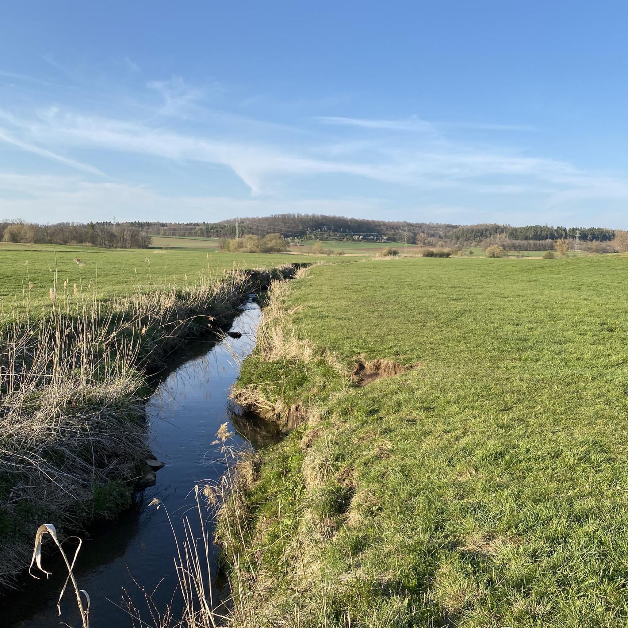
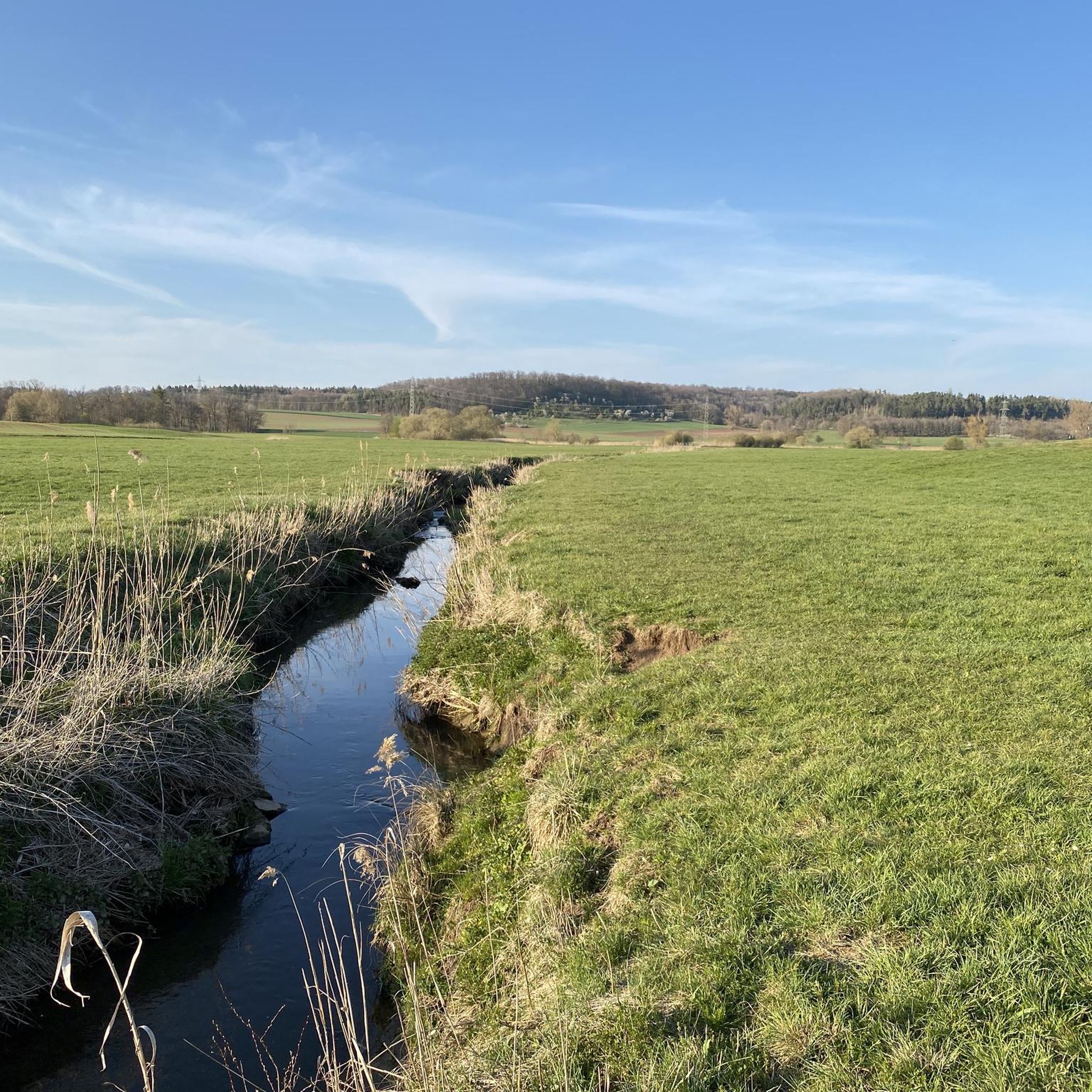
The source of the Hildrizhauser Würm river rises rather inconspicuously here, next to a field path. There are no information panels indicating the source area, so only hikers familiar with the area usually find their way here.
6
0

A really great barbecue area with seating for a little break in the middle of nature.
4
0
A lake and seating 😍 You couldn't wish for anything better for a little break.
2
0
A truly beautiful view and very well-maintained paths. There's even a wetland habitat along the way 😍
4
0
Frequently Asked Questions
How many hiking trails are available around Hildrizhausen?
Hildrizhausen offers a wide variety of hiking experiences, with over 70 routes available. These trails cater to different preferences, from leisurely strolls to more challenging forest climbs.
What kind of terrain can I expect on hikes around Hildrizhausen?
The terrain around Hildrizhausen is diverse, primarily featuring the dense woodlands and rolling hills of the expansive Schönbuch Nature Park. You'll also find picturesque fields, serene lake paths around the Eppenzillsee, and tranquil river walks along the Würm valley. Some areas also showcase historic orchard landscapes and forest pastures.
Are there any family-friendly hiking options in Hildrizhausen?
Yes, Hildrizhausen and its surroundings offer several family-friendly options. The Schönbuch Nature Park has circular trails suitable for families, including a barrier-free route starting from Kohltor. The Bebenhausen Abbey area also features a barefoot path, which is particularly enjoyable for children, allowing them to experience different natural surfaces.
Can I bring my dog on hikes in Hildrizhausen?
Many trails in the Hildrizhausen region, especially within the Schönbuch Nature Park, are suitable for dogs. It's generally recommended to keep dogs on a leash, particularly in nature reserve areas or near wildlife, and to always clean up after them. Always check local signage for specific rules.
Are there any circular hiking routes available?
Yes, circular routes are a popular feature in the Hildrizhausen area. You can find several options within the Schönbuch Nature Park, such as the Lindach-Runde. The scenic Kaiserwirt's Bergle Viewpoint – Schönbuch Tower loop from Hildrizhausen is a challenging circular route, while the Kalter Bronnen Trail – Schönbuch Tower loop from Hildrizhausen offers a moderate circular experience.
What are some notable natural features or landmarks to see while hiking?
Hikers can discover several interesting features. The modern Schönbuchturm (Schönbuch Tower) offers impressive panoramic views and can be integrated into many tours. You can also explore the scenic Goldersbach valley, the historic Bebenhausen Abbey, or the tranquil Fairy Lake, Wendelsheim. The region also features an 'orchard paradise' and a 'Waldweide' (forest pasture) where Galloway cattle graze.
What is the best time of year to go hiking in Hildrizhausen?
The best seasons for hiking in Hildrizhausen are typically spring and autumn. During these times, the weather is pleasantly mild, and nature is at its most vibrant. Spring brings blooming flowers and lush greenery, while autumn transforms the deciduous forests into a spectacular display of colors.
Are there options for easy or beginner-friendly hikes?
Absolutely. Approximately half of the hiking routes in Hildrizhausen are rated as easy, making them perfect for beginners or those looking for a relaxed stroll. These trails often traverse picturesque fields and less challenging forest paths, such as the orchard route on the edge of Hildrizhausen.
Is parking available near the trailheads?
Yes, parking is generally available at various entry points to the Schönbuch Nature Park and near popular trailheads around Hildrizhausen. Specific parking information can often be found on local signage or within detailed route descriptions on komoot.
What do other hikers say about the trails in Hildrizhausen?
The hiking trails in Hildrizhausen are highly regarded by the komoot community, holding an average rating of 4.6 stars from over 270 reviews. Hikers frequently praise the quiet woodlands of the Schönbuch Nature Park, the well-maintained paths, and the diverse natural beauty, from serene lakes to rolling hills.
Can I find hikes that feature water, like lakes or rivers?
Yes, the region offers beautiful hikes that incorporate water features. The Eppenzillsee lake is a scenic body of water with paths leading past small bays and offering beautiful views. The Würm valley also provides opportunities for tranquil river walks, and you can find other lakes like Fairy Lake, Wendelsheim and Sulzbach Reservoir nearby.
Are there any longer, more challenging hikes for experienced hikers?
For experienced hikers seeking a challenge, Hildrizhausen offers several difficult routes. The Kaiserwirt's Bergle Viewpoint – Schönbuch Tower loop from Hildrizhausen is a demanding 12.4-mile (19.9 km) trail with significant elevation gain. Another challenging option is the Lindach Valley – Ochsenweiher (Ox Pond) loop from Hildrizhausen, which spans 15.0 miles (24.2 km).
Most popular routes around Hildrizhausen
Most popular attractions around Hildrizhausen

Get inspired with the komoot mobile app


Explore more
Browse the best Hikes in other regions.
