The best walks and hikes in Oksøy-Ryvingen Landskapsvernområde
4.6
(1671)
7,293
hikers
220
hikes
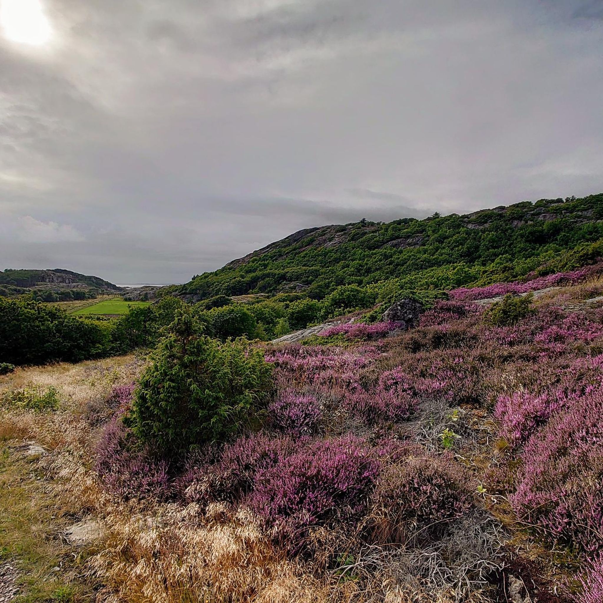
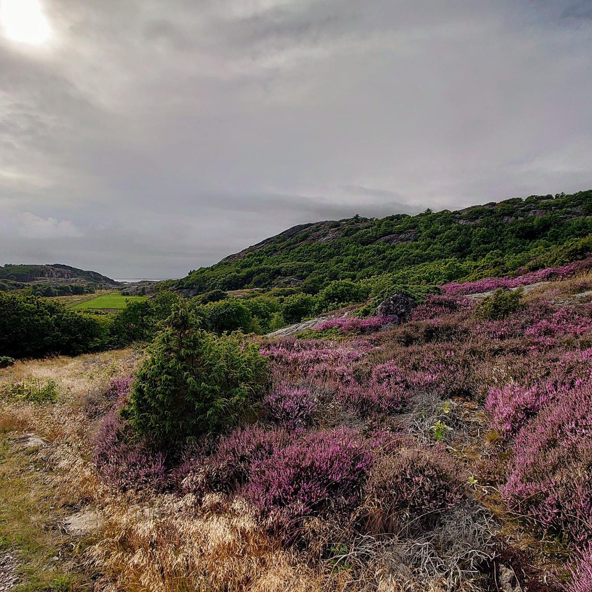
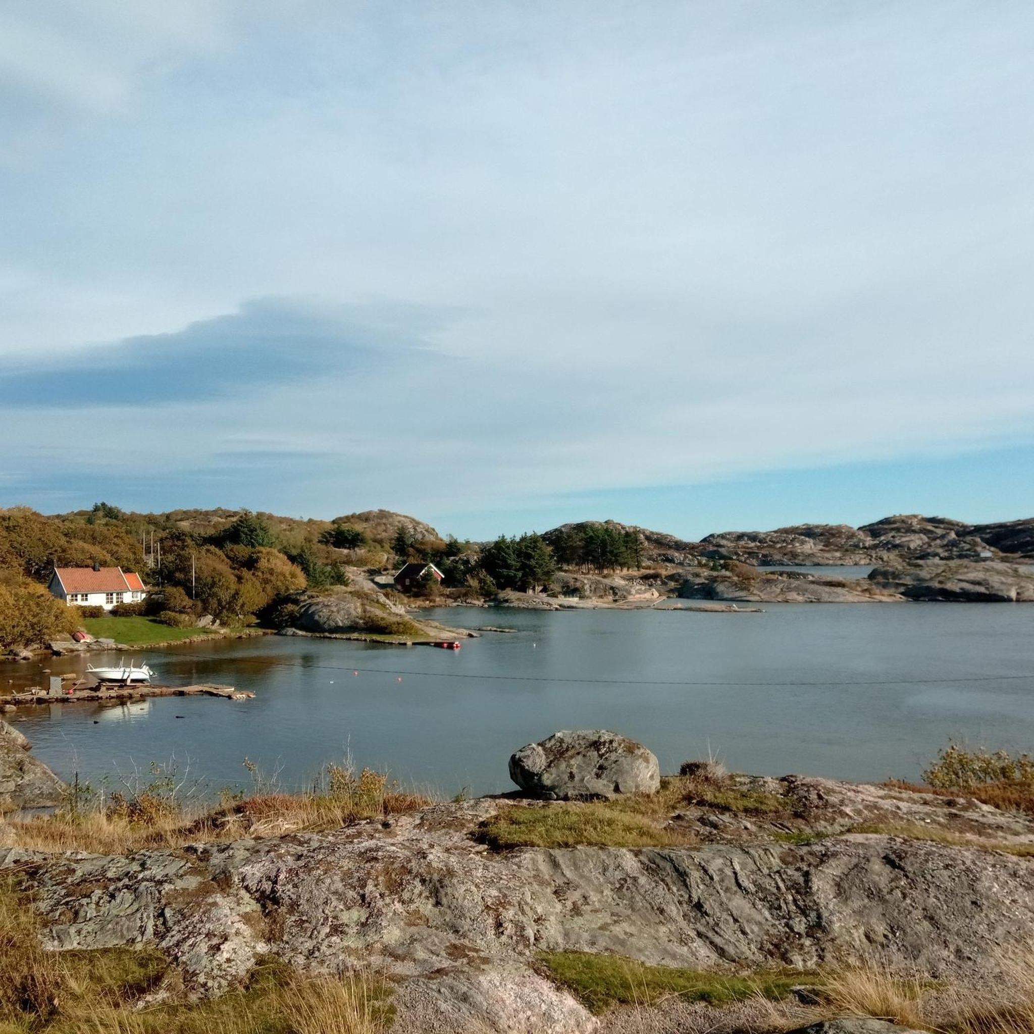
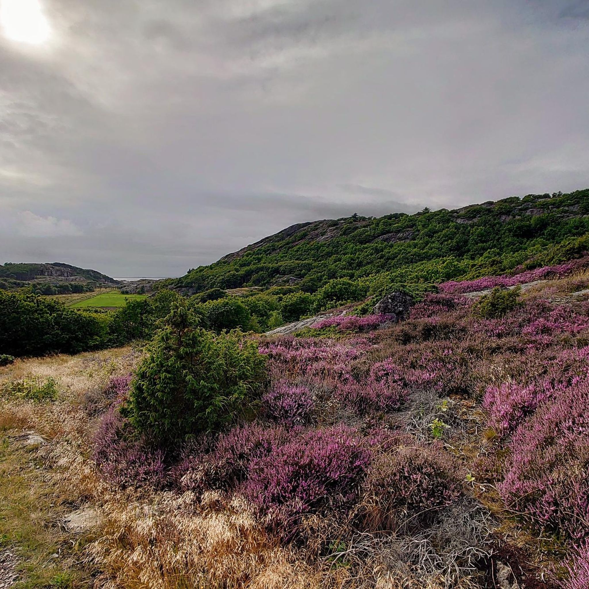
Hiking in Oksøy-Ryvingen Landskapsvernområde offers exploration of a distinctive archipelago landscape between Mandal and Kristiansand. The region features numerous low, eroded islands, islets, and skerries, alongside a rugged coastal heath. This environment is shaped by Precambrian bedrock and includes significant bird and animal life. The diverse terrain provides varied hiking experiences across sea, islands, and cultural landscapes.
Best hiking trails in Oksøy-Ryvingen Landskapsvernområde
- The most popular hiking route is Roundtrip Daumannsholmen, Brattåsen & Belteviga – Flekkerøya, a 3.2 miles (5.2 km) trail that takes 1 hour 23 minutes to complete. This moderate route explores the coastal features of Flekkerøya.
- Another top favourite among local hikers is Ansteins Fyr (Lighthouse) Flekkerøya, a moderate 4.1 miles (6.6 km) path. This trail leads to a historic lighthouse, offering views of the surrounding archipelago.
- Local hikers also love the Daumannsholmen, Flekkerøya – Anstein Lighthouse loop from Flekkerøya, a 5.5 miles (8.8 km) trail leading through coastal heath and past significant landmarks, often completed in about 2 hours 20 minutes.
- Hiking in Oksøy-Ryvingen Landskapsvernområde is defined by its continuous archipelago, coastal heath, and historic lighthouses. The network offers options for different ability levels, from easy walks to moderate excursions.
- The routes in Oksøy-Ryvingen Landskapsvernområde are highly rated by the komoot community with an average score of 4.6 stars from over 1,400 reviews. More than 6,600 hikers have used komoot to explore Oksøy-Ryvingen Landskapsvernområde's varied terrain.
Last updated: August 19, 2026
5.0
(6)
38
hikers
5.20km
01:23
60m
60m
Moderate hike. Great for any fitness level. Mostly accessible paths. Sure-footedness required.
5.0
(5)
24
hikers
6.59km
01:44
60m
60m
Moderate hike. Great for any fitness level. Mostly accessible paths. Sure-footedness required.

Sign up for free
3
hikers
5.48km
01:26
40m
40m
Moderate hike. Great for any fitness level. Mostly accessible paths. Sure-footedness required.
4.4
(9)
32
hikers
Moderate hike. Good fitness required. Mostly accessible paths. Sure-footedness required.
4.8
(8)
34
hikers
5.21km
01:22
40m
40m
Moderate hike. Great for any fitness level. Mostly accessible paths. Sure-footedness required.
Get access to more routes and recommendations from other explorers.
Sign up for free
Already have an account?
Our route recommendations are based on thousands of hikes, rides, and runs completed by other people on komoot.
Start today with a free account
Your next adventure awaits.
Login or Signup
Popular around Oksøy-Ryvingen Landskapsvernområde

Tips from the Community

This wildly rugged rock formation on the southern coast of Norway shows you what millennia can shape from rock. Smoothly polished rocks, bizarre fissures, and picturesque hollows. This is the skerries coast in its purest form. The protected area is a sensitive habitat for coastal birds, especially during the breeding season from April to July. Stay on the rocks and avoid vegetation and beach areas off the paths, so that birds and plants can thrive undisturbed.
1
1

Here you can swing in the middle of nature
0
0

Are more on the mainland
0
0
You simply have to go straight from the road until you come to a red house, then turn left.
0
0

The lighthouse is a great destination on your hike, sitting in a scenic landscape. You can take a break at the shore and enjoy the sea breeze.
1
0
On your way to the lighthouse you will pass this old foundations. Given the history of this area, these are likely the ruins of some military structures.
0
0

Aus der Ferne betrachtet kann es Assoziationen zur Wetterspitze aus HdR erwecken ;)
0
1
A signpost with the distance to the most diverse places worldwide.
1
0
Frequently Asked Questions
How many hiking trails are available in Oksøy-Ryvingen Landskapsvernområde?
There are over 220 hiking routes in Oksøy-Ryvingen Landskapsvernområde. This includes a wide variety of options, with more than 130 easy routes, 80 moderate trails, and a few more challenging excursions.
What kind of landscape can I expect to see while hiking in Oksøy-Ryvingen Landskapsvernområde?
The region is characterized by a distinctive archipelago landscape with numerous low, eroded islands, islets, and skerries. You'll also encounter rugged coastal heath, which is a unique, culturally influenced habitat. The geological formations include Precambrian bedrock and some islands even feature dark volcanic dikes.
Are there any family-friendly hiking options in the area?
Yes, Oksøy-Ryvingen Landskapsvernområde offers many family-friendly routes. With over 130 easy trails, you'll find plenty of options suitable for all ages and skill levels, allowing families to enjoy the coastal scenery together.
What are some notable landmarks or attractions to see along the trails?
Hikers can discover several interesting landmarks. The historic Ansteins Lighthouse is a prominent feature. You can also explore the Ruins of Military Structures in Oksøy-Ryvingen Conservation Area, offering a glimpse into the region's past. Additionally, there are several viewpoints like the View of Lindesnes Lighthouse and the View of the coastal landscape near Utsira, Norway.
What do other hikers say about the trails in Oksøy-Ryvingen Landskapsvernområde?
The trails in Oksøy-Ryvingen Landskapsvernområde are highly regarded by the komoot community, with an average rating of 4.6 stars from over 1,400 reviews. Hikers often praise the unique coastal scenery, the well-maintained paths, and the opportunity to explore both natural beauty and historical sites.
Are there any circular hiking routes available?
Yes, there are several circular routes. For example, the moderate Grasåsen – Anstein Lighthouse loop from Flekkerøya is a great option, covering approximately 5.2 km. Another similar loop is the Anstein Lighthouse – Grasåsen loop from Flekkerøya, which is about 5.4 km.
What is the best time of year to go hiking in Oksøy-Ryvingen Landskapsvernområde?
The diverse climate allows for hiking throughout much of the year. However, visitors should be aware of certain restrictions, such as traffic prohibitions in some nature reserves from April 15 to July 15, to protect nesting seabirds. Generally, late spring to early autumn offers the most pleasant conditions for exploring the coastal heath and archipelago.
Can I bring my dog on the hiking trails?
The Oksøy-Ryvingen Landskapsvernområde is managed to allow traditional outdoor activities. While dogs are generally permitted, it's crucial to keep them on a leash, especially during nesting seasons (April 15 to July 15) to protect birdlife, and to respect local regulations and other hikers.
What kind of wildlife can I expect to see?
The area is an important nesting ground for various seabird species. The unique climate also supports a convergence of southern and northern plant species, and even some mountain plants. Keep an eye out for diverse avian and terrestrial fauna, especially in the protected habitats.
Are there any places to stay overnight or cabins along the trails?
Yes, the Gammeløya DNT Cabin is available in the area, offering a place for hikers to rest or stay overnight. The region also features charming old outports that historically provided shelter, reflecting the rich coastal culture.
How accessible are the trails, and is public transport an option?
While much of the archipelago is only accessible by boat, many trails on the larger islands, like Flekkerøya, are reachable by road. Information regarding specific public transport options to trailheads might be limited, so planning for personal vehicle access or local boat services is often recommended for exploring the more remote parts of the conservation area.
Most popular routes in Oksøy-Ryvingen Landskapsvernområde
Most popular attractions in Oksøy-Ryvingen Landskapsvernområde

Get inspired with the komoot mobile app


Explore more
Browse the best Hikes in other regions.
