The best walks and hikes in Badstudalen Naturreservat
4.7
(34)
205
hikers
16
hikes
Hiking in Badstudalen Naturreservat offers a protected natural environment with designated trails. The region features a mix of gravel roads and more rugged paths, accommodating various preferences. Facilities such as shelters and picnic areas are available along some routes, enhancing the outdoor experience. The terrain includes areas around a pond and offers varied elevation gains suitable for different hiking abilities.
Best hiking trails in Badstudalen Naturreservat
- The most popular hiking route is Røymyrrhei Summit (617 m) loop from Isefjærleiren,…
Last updated: July 9, 2026
4.5
(6)
13
hikers
5.13km
01:28
110m
110m
Easy hike. Great for any fitness level. Easily-accessible paths. Suitable for all skill levels.
3.7
(3)
8
hikers
7.91km
02:16
190m
190m
Moderate hike. Good fitness required. Easily-accessible paths. Suitable for all skill levels.

Sign up for free
7
hikers
6.82km
02:00
190m
190m
Easy hike. Great for any fitness level. Easily-accessible paths. Suitable for all skill levels.
5.0
(4)
11
hikers
8.84km
02:32
210m
210m
Moderate hike. Good fitness required. Easily-accessible paths. Suitable for all skill levels.
2
hikers
10.4km
03:05
290m
290m
Moderate hike. Good fitness required. Easily-accessible paths. Suitable for all skill levels.
Get access to more routes and recommendations from other explorers.
Sign up for free
Already have an account?
Our route recommendations are based on thousands of hikes, rides, and runs completed by other people on komoot.
Start today with a free account
Your next adventure awaits.
Login or Signup
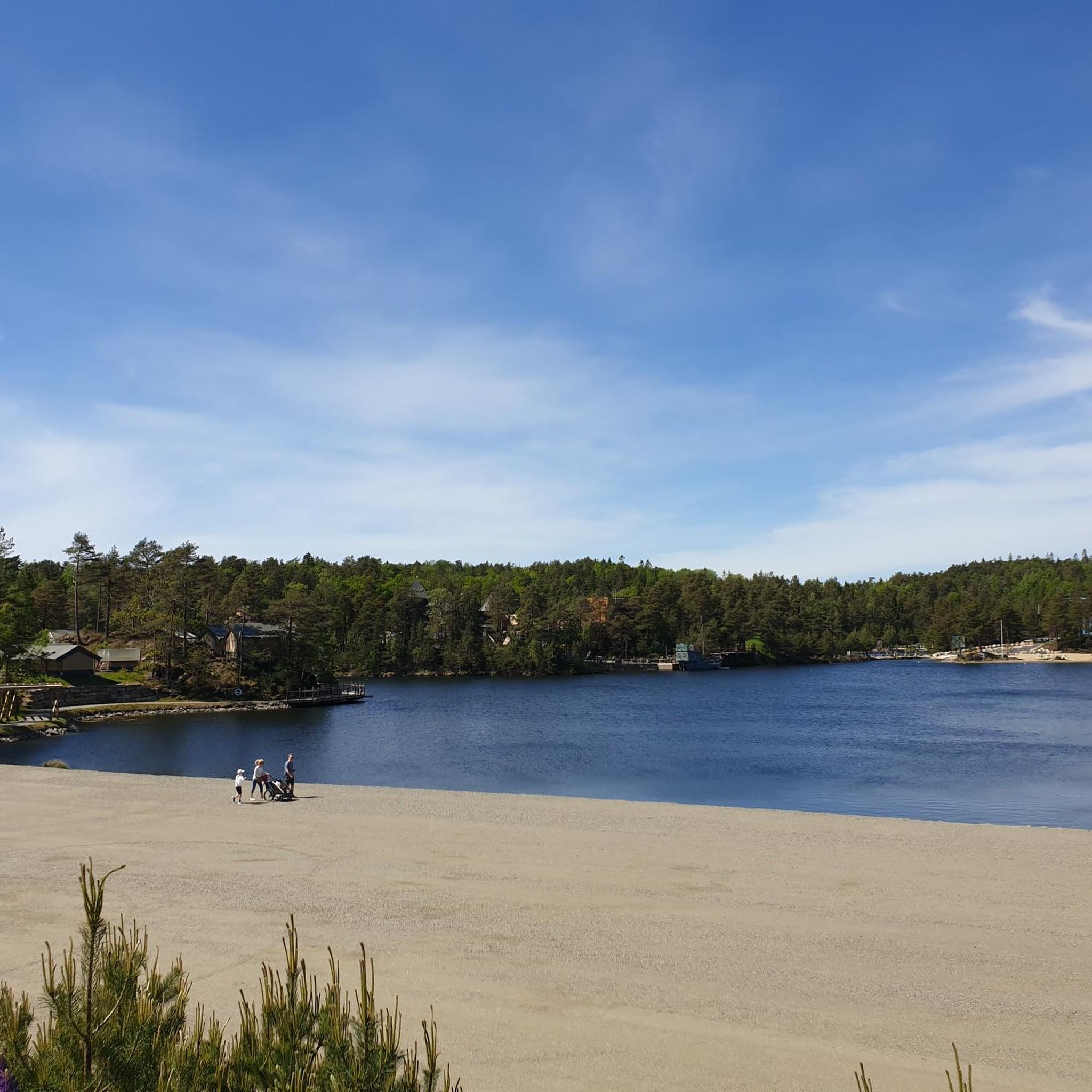
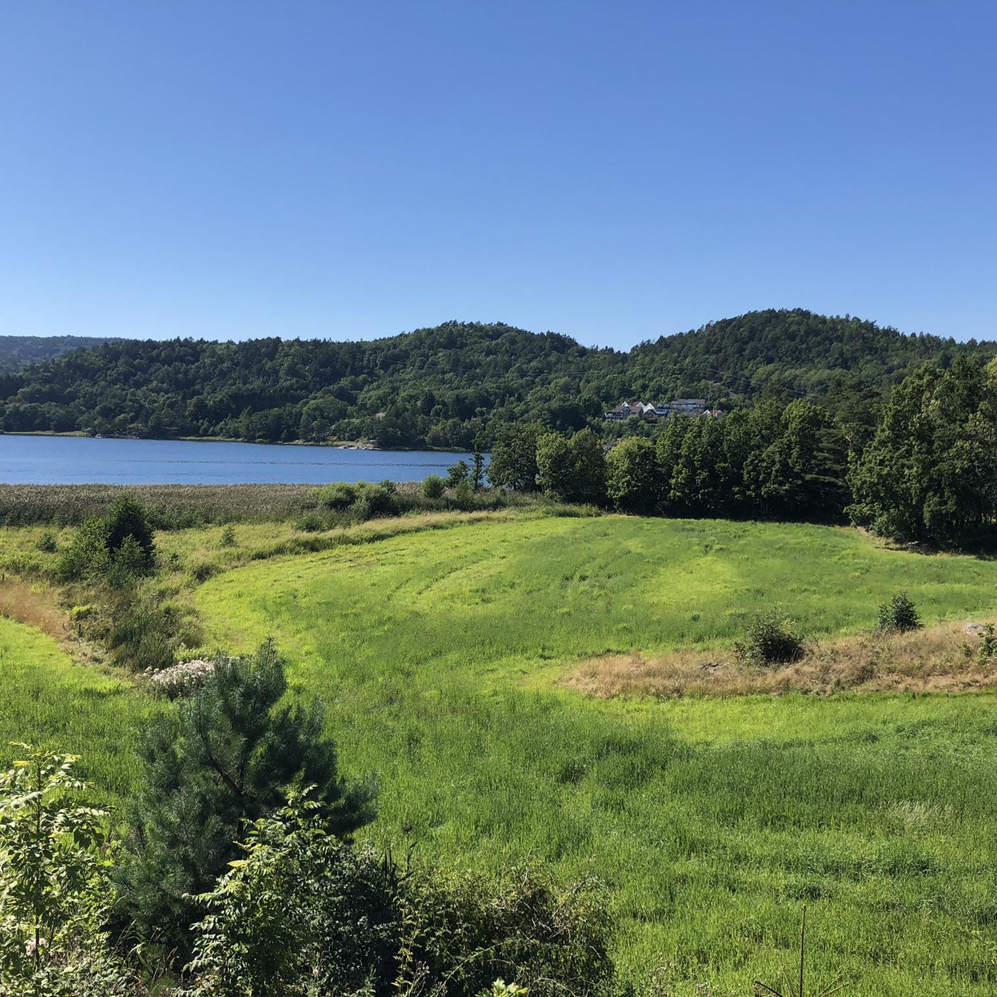
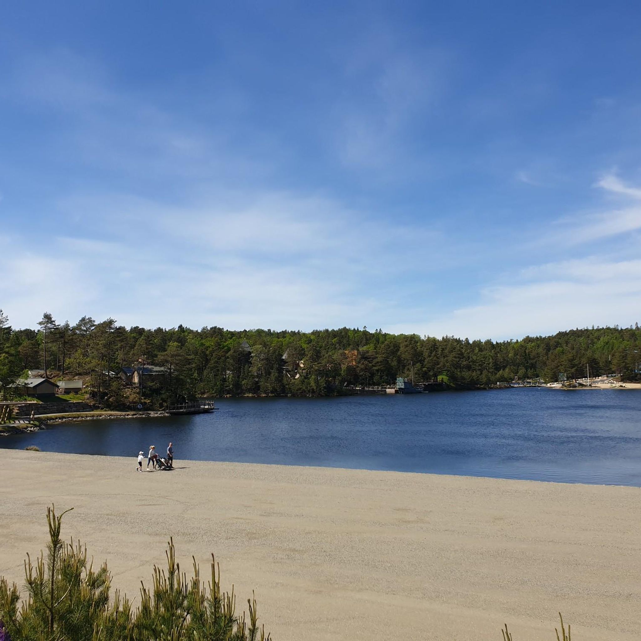
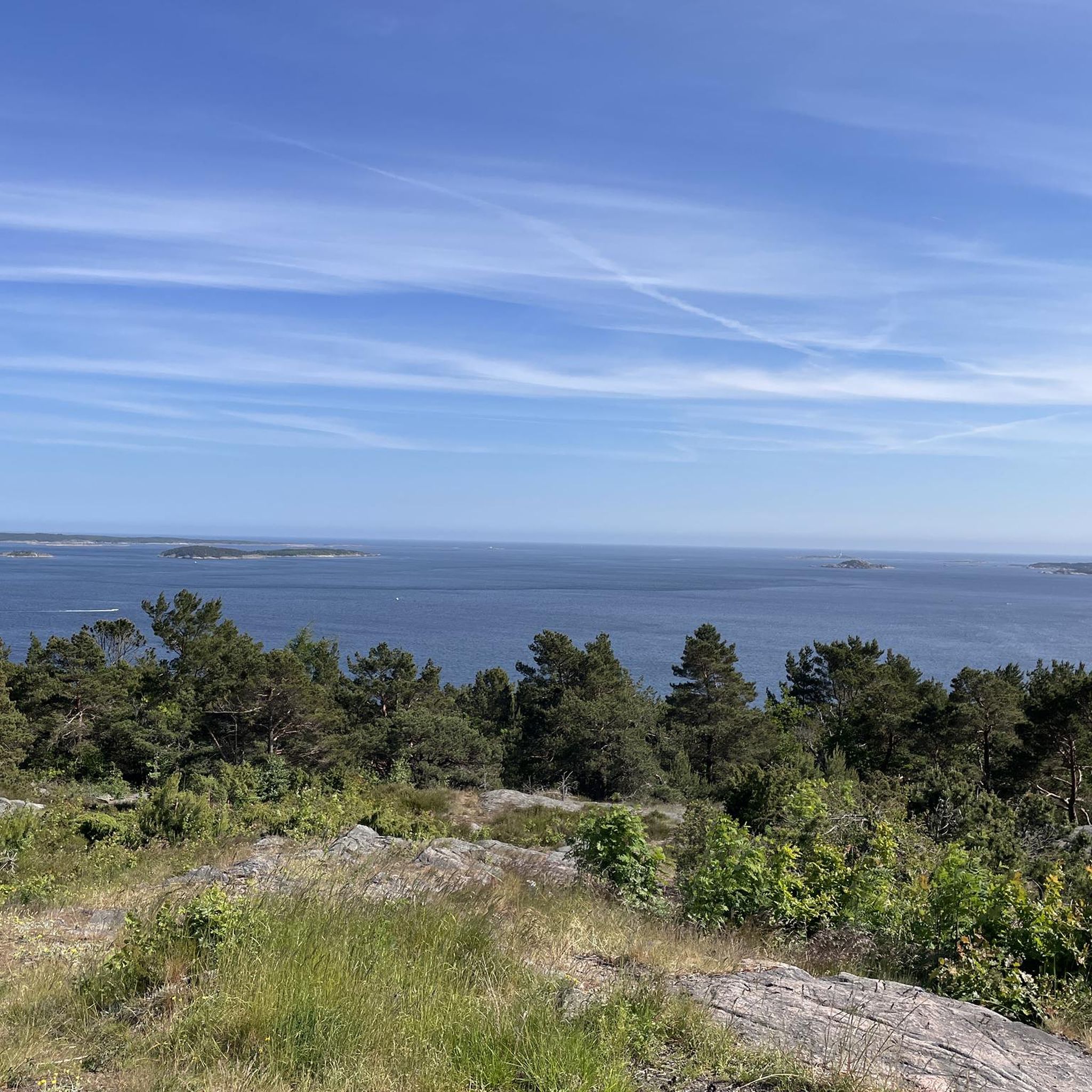
Tips from the Community

Inside those stunning rock formations you'll find a small cave. It has some history that can be read on a small information board right in front of it.
0
0

Heietjønn is a secluded lake located within the Tveitvann nature reserve, where it is surrounded by a dense, protected landscape of old-growth oak and pine forest. From this lake you can continue on to the Tveitvann nature reserve.
0
0

There is also a shelter with a fireplace
1
0

Here in Gåsedalen stands the small pillar in memory of Nils Olsen, or "Treske-Nils". The stone is less than 20 cm high and is said to have been placed by Alf Strai and Arne Voreland on the spot where he was found dead. On the stone itself it says: "Nils Olsent 12/1-34". This is the date of the day it was found. Nils Olsen originally came from Vegårdshei. Those who remember Nils say that he was a jovial little guy who worked constantly. Nils got his nickname because he helped thresh grain. He was The memorial for "Treske-Nils". Photo: Ole-Jørgen Hasle 2020 was also called "Sprege-Nils" because he made brooms out of Sprege buckets. Most people in Dorf had one of Nils' broomsticks in the house. Nils Olsen lived with several men who worked for board and lodging with the widow Karen Ånesen Gåseland on Sjømyr in Hovàg, about 300 meters east of where the memorial stone is. When he was in Tveit he stayed with "mother of the homeless" Theodine Drangsholt, who "...always had an eye on passers-by who couldn't get shelter.". In his article in Tveit Historielag Årsskrift no. 12-2002, Arne Egil Larsen mentions that Nils had a speech impediment and couldn't pronounce the letter "k". He also had "a somewhat odd and somewhat stiff gait" - he walked with his toes curled under his feet because his shoes were too small. At Christmas 1933, Nils was on his way between Drangsholt and Sjømyr. The path he used was marked with stones, but he took the wrong path and got lost. Due to a misunderstanding and because it was Christmas weekend, everyone in Drangsholt thought he was in Sjømyr. Those in Sjømyr, on the other hand, thought he was in Drangsholt. As a result, no one was sent to look for him, and it wasn't until January 12 that he was gone. Nils Olsen, or "Treske-Nils", pictured on Drangsholt in front of Tønnes Drangsholt's house In 1934 he was found. At that time he was sitting dead behind a tree here in Gåsedalen, no more than 300 meters from the safety of the house on Sjømyr.
1
0
Ulsholmen is an old homestead. The houses have disappeared, but the ruins are still clearly visible. Ola Osmundsen (born 1765) is the first known farmer on Ulsholmen. Osmund Olsen took over the farmstead from his father Ola, who died in 1843 as a beneficiary. Osmund was ironically nicknamed "The Count of Bjørnholmen" and wrote many anecdotes about the "Count" who "often spiced his speech with the stiff book language of Ulsholmen" and Abraham Ulsholmen always wore his best clothes: a shiny divided coat and a top hat, and a staff in hand". In 1901 the writer Gabriel Scott published a collection of short stories entitled "The Hunting Journal". While living in Uldalen and writing this book, he became acquainted with the places and people in the forest between Høvåg and Tveit Scott then made the "Earl of Ulsholmen" into one central figure in the 1931 book "Der Barkefletcher". "Der Barkenflechter" is a lively - and at the same time painful - story from a recent past in which the poor were an underclass who could hardly pave the way to recognition and a dignified life. Bark weaving was an important side trade on many farms in the coastal villages of southern Norway. In "Barke- on Ulsholmen, but the real weaver of the novel" lived here the "Count" His name was Jørgen Sjømyr. The 1865 census shows that 3 people lived on Ulsholmen. Osmund Olsen (65) together with his wife Severine Ellingsdatter (68) and their son Ole C. Osmundsen (23). They had 2 sheep and 6 goats.
0
0
Plassen is an old farm situated between Sjømyr and Ulsholmen. Its age is uncertain, but it has probably been abandoned longer than either of those places. The wooden buildings have completely disappeared, but the partially collapsed and overgrown mounds of houses are still clearly visible. Down at the edge of the swamp, about 10-15 meters southwest of where you are, you'll find the remains of a building that was probably Plassen's outbuilding. Up here, where the information board stands, the remains of the former inner house can be clearly seen. At the time when Plassen was still inhabited, the area was probably cleared and developed. This gave the possibility of both a piece of land for cultivation Growing crops and possibly potatoes, as well as grazing land for a few animals. It is likely that the swamps around the outbuilding were mowed and the grass used as fodder. There is little information about these small settlement, but we can be pretty sure it was a small settlement. There must have been limited farming and animal husbandry, but to survive in such places people had to work outside of the settlement. An important additional industry in this regard was the so-called bark braiding. Bark was collected from young oak trees and dried. The dried bark was then used to tan leather and hides, and to tan fishing nets. The square and Ulsholmen 300-400 meters south-east of Ulsholmen - play a central role in the novel "The Bark Weaver" by Gabriel Scott. The main character of the novel, Søren Andersen Røsnes, lives here on Plassen. The characters in the novel are based on real people, but their names and locations have been changed so that descendants don't feel isolated. Søren, for example, was actually born in Røsnes, so it's probably just Gabriel Scott who made his home on Plassen. The remains of an outbuilding that probably stood in Plassen at the bottom of the swamp. Photo: Ole-lørgen Hasle 2020. Residence.
0
0

Great tour even in drizzle. So many highlights make you forget the rain. Also very historical. That makes you think how people lived with nature and earned their living income with it. A lot is lost and the milk comes out of the tetrapak and the cow is purple and is called Milka. I find all of this very worrying.
0
0
Sjømyr is an abandoned farm in the forests of Trøe, about 100 meters from the former Vest-Agder county border into Lillesand municipality. The property was bought in 1852 by spouses Jørgen and Mari Torjussen, who previously lived in Kiledalen near Drangsholt. At Sjømyr they kept four cows and eight sheep. As a widower, Jørgen moved to neighboring Stemmene in 1900. At that time the forest worker Gunder Jonsen lived here on Sjømyr. As a 60-year-old widow, Karen Ånonsen Gåseland moved from Stemmene to Sjømyr in 1910. Many people lived on the farm, including four of Karen's children. In addition, there lived several men who worked for board and lodging. One of them was Nils Olsen - or "Treske-Nils" - who got lost on the way from Drangsholt at Christmas 1933 and was later found dead in the Gåse valley about 300m west of Sjømyr. The farm at Sjømyr consisted of sheep and cattle. Karen carved and spun sheep's wool into yarn. She knitted mittens and stockings, which were sold for little money. The feed for the animals was obtained from logging in the forest. Logging was practiced in parts of the forest, and Nils Olsen, among others, worked in the forest. Karen's son, Anders Kristian Anonsen, took over Sjømyr in 1918 and owned the farm until he sold it in 1953.
0
0
Frequently Asked Questions
How many hiking trails are available in Badstudalen Naturreservat?
Badstudalen Naturreservat offers a network of over 14 hiking trails, ranging from easy walks to more moderate excursions. This variety ensures options for different skill levels and preferences.
What kind of terrain can I expect on the hiking trails in Badstudalen Naturreservat?
The trails in Badstudalen Naturreservat feature a mix of surfaces, including both gravel roads and more rugged paths. You'll encounter varied elevation gains, with some routes leading to summits and others exploring historical sites or lakeside areas. The reserve is designed to accommodate different preferences, from gentle strolls to more challenging hikes.
Are there any family-friendly hiking options in Badstudalen Naturreservat?
Yes, Badstudalen Naturreservat is suitable for families. Some sections of the trails are even suitable for strollers, making it easier for those with young children. Additionally, facilities like picnic areas and shelters are available along certain routes, such as near Hvamsetra, providing comfortable spots for breaks.
Are dogs allowed on the trails in Badstudalen Naturreservat?
As a nature reserve, dogs are generally welcome on the trails in Badstudalen Naturreservat. However, it's always recommended to keep them on a leash to protect wildlife and ensure a pleasant experience for all hikers. Please follow local regulations regarding pets in protected areas.
What are some notable landmarks or points of interest I can see along the trails?
Hikers can discover several interesting points of interest within Badstudalen Naturreservat. You might encounter historical sites like the Sjømyr Abandoned Farm and Plassen Old Homestead Ruins. There's also the serene Lake in Southern Norway, and the Treske-Nils Memorial. Some routes also pass by Hvamsetra, which features a picnic area, fire pit, and a swimming jetty at Hvamsetertjernet pond.
Are there any circular hiking routes in Badstudalen Naturreservat?
Yes, many of the trails in Badstudalen Naturreservat are designed as circular routes, allowing you to start and end at the same point. For example, the Sjømyr Abandoned Farm – Plassen Old Homestead Ruins loop from Åsen is a popular moderate option, and the Klomra – Lake in Southern Norway loop from Tveit offers varied landscapes.
What is the best time of year to go hiking in Badstudalen Naturreservat?
Badstudalen Naturreservat is accessible throughout the year. While summer and autumn offer pleasant conditions with lush greenery and vibrant fall colors, the trails can also be enjoyed in winter, offering a different, serene experience. Always check local weather conditions before heading out, especially during colder months.
Are there any trails that feature waterfalls?
Yes, for those interested in waterfalls, the Tveitvann Nature Reserve – Waterfall loop from Tveit is a moderate 10.4 km route that specifically highlights a waterfall within the reserve. It's a great option for enjoying natural water features.
What do other hikers enjoy most about hiking in Badstudalen Naturreservat?
The area is highly rated by the komoot community, with an average score of 4.7 stars from over 30 reviews. Reviewers often praise the well-maintained designated trails, the mix of gravel roads and rugged paths, and the peaceful natural environment. The presence of facilities like shelters and picnic areas is also frequently appreciated.
Is there parking available near the trailheads?
While specific parking details for every trailhead are not provided, the presence of designated starting points like Isefjærleiren, Åsen, and Tveit suggests that parking facilities are generally available to access the trails. It's advisable to check the specific route details on komoot for precise parking information for your chosen hike.
Are there any trails that offer good viewpoints?
Yes, several trails provide scenic viewpoints. For instance, the Røymyrrhei Summit (617 m) loop from Isefjærleiren leads to a summit that offers expansive views of the surrounding nature reserve, allowing you to take in the natural beauty of the area.
Can I find shelters or picnic areas along the trails?
Yes, some routes in Badstudalen Naturreservat are equipped with amenities to enhance your hiking experience. For example, the area around Hvamsetra features a gapahuk (shelter) and a picnic area with tables and benches, perfect for a break or a meal amidst nature.
Most popular routes in Badstudalen Naturreservat
Most popular attractions in Badstudalen Naturreservat

Get inspired with the komoot mobile app


Explore more
Browse the best Hikes in other regions.
