The best walks and hikes in Nordre Rennesøy Fuglefredningsområde
4.8
(78)
450
hikers
18
hikes
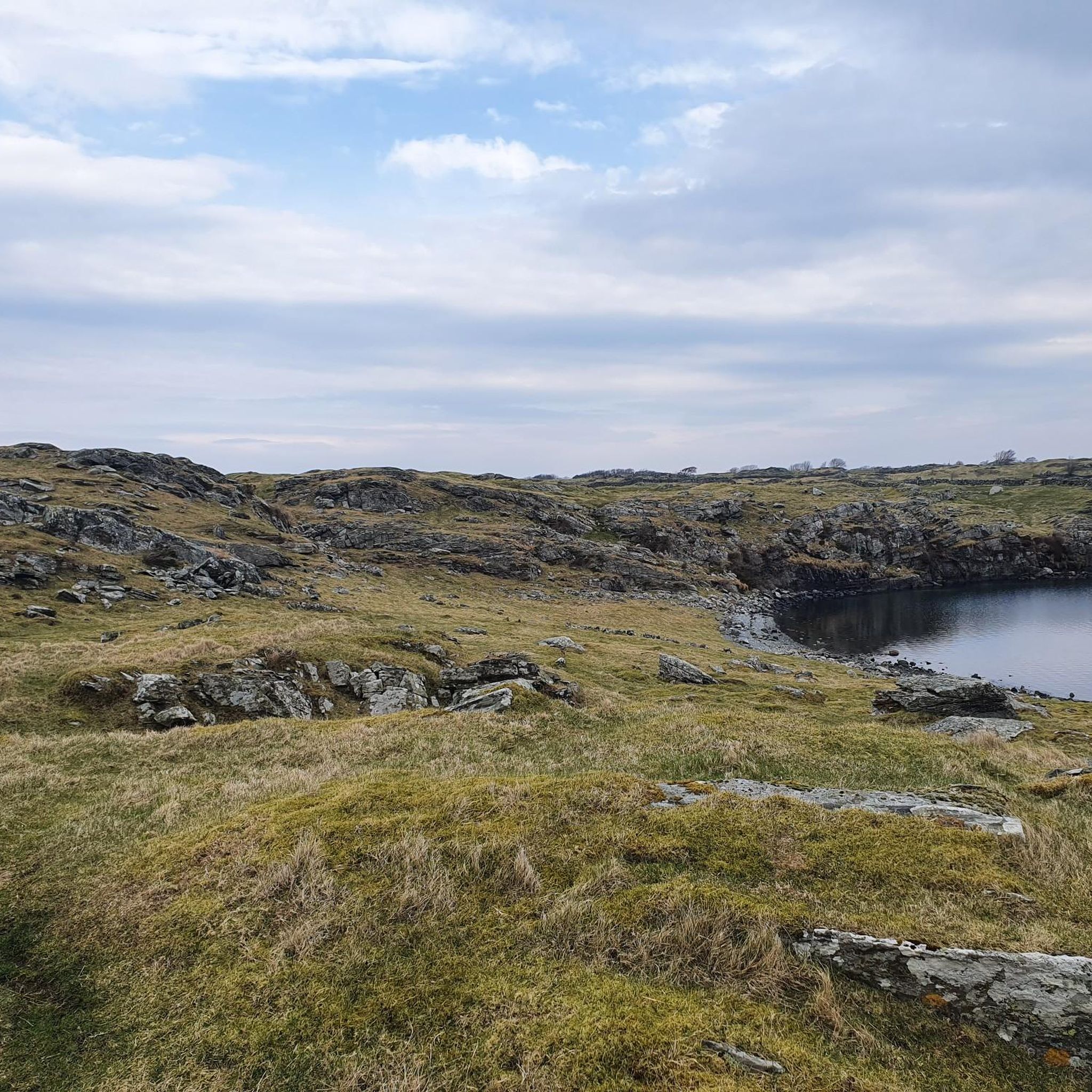
Hiking in Nordre Rennesøy Fuglefredningsområde features a diverse archipelago landscape situated between the North Sea and the fjord-rich inner Ryfylke. The terrain includes natural deciduous forests, heathlands, and coastal regions with beach cliffs. This area is characterized by a mild, humid climate that supports lush environments.
Best hiking trails in Nordre Rennesøy Fuglefredningsområde
- The most popular hiking route is Hiking loop from Sørbø kyrkje, a 2.7 miles (4.3 km) trail that takes 1 hour 10 minutes to complete. This…
Last updated: July 12, 2026
4.3
(3)
20
hikers
4.30km
01:10
60m
60m
Easy hike. Great for any fitness level. Easily-accessible paths. Suitable for all skill levels.
4.5
(2)
11
hikers
7.23km
01:55
70m
70m
Easy hike. Great for any fitness level. Easily-accessible paths. Suitable for all skill levels.

Sign up for free
5.0
(1)
4
hikers
3.35km
01:00
110m
110m
Easy hike. Great for any fitness level. Easily-accessible paths. Suitable for all skill levels.
5.0
(2)
12
hikers
7.17km
01:56
90m
90m
Easy hike. Great for any fitness level. Easily-accessible paths. Suitable for all skill levels.
5.0
(1)
3
hikers
4.54km
01:20
140m
140m
Easy hike. Great for any fitness level. Easily-accessible paths. Suitable for all skill levels.
Get access to more routes and recommendations from other explorers.
Sign up for free
Already have an account?
Our route recommendations are based on thousands of hikes, rides, and runs completed by other people on komoot.
Start today with a free account
Your next adventure awaits.
Login or Signup
Popular around Nordre Rennesøy Fuglefredningsområde
Tips from the Community

Mosterøyveien is the main road across Mosterøy, linking the island to Fjøløy, Rennesøy and other islands on the archipelago. Island high point Mastravarden rises to the south, a fine objective for a brisk hill walk.
0
0
The trail up to the summit of Mastravarden provides excellent views across Mosterøy, Rennesøy and Fjøløy. This is the most popular way to the top – for a satisfying round trip continue southeast from the summit and arc back to the north to rejoin the main Mosterøyveien road.
0
0
As Mosterøy’s highest point, at 154 meters (505 ft), Mastravarden provides an exceptional panorama. The route to the top from the Utstein Kloster Hotel is well signposted and makes for a fine little hill walk. Have your binoculars at the ready, as there may be the opportunity to spot white-tailed eagles.
0
0

Fjøløy lighthouse (fyr = lighthouse), built in 1879. On the way from the parking lot to the lighthouse, there is much to see: boathouse, natural stone walls, rocks, flora.
0
0

Follow the path down to the sea, enjoy the beautiful view of Stavanger
0
0

If you are interested in this topic, then it is highly recommended. For everyone else, it offers an incredibly beautiful view of the landscape. I find it funny that the fort is now in the hands of wild rabbits. 🐇🐇🐇
0
0

The car park is surrounded by cattle pastures and is the best starting point for a visit.
2
0

Worthwhile views over almost the entire island of Fjøløy. And those who have arrived at the upper signal house can also sign their names in the “summit book”.
3
0
Frequently Asked Questions
What kind of terrain can I expect on the hiking trails in Nordre Rennesøy Fuglefredningsområde?
The area features a diverse archipelago landscape, offering a mix of natural deciduous forests, heathlands, and coastal sections with beach cliffs and coastal mountains. You'll find varied terrain, from farmlands to lush, green environments sustained by a mild, humid climate.
Are there many easy hiking options available?
Yes, Nordre Rennesøy Fuglefredningsområde is particularly well-suited for easy hikes. Out of the 17 available routes, 15 are classified as easy, making it an ideal destination for casual walkers and families. For example, the View of the Coastal Village loop from Klosterøy is an easy 4.5 km trail.
What are some notable viewpoints or landmarks to look out for?
A significant viewpoint is Rennesøyhodnet on Rennesøy island, which offers incredible panoramic views of the surrounding ocean and islands from an elevation of 210 meters. The Fjøløy Lighthouse – Viewpoint at Fjøløy Fort loop from Klosterøy also provides scenic coastal vistas.
Is Nordre Rennesøy Fuglefredningsområde a good place for birdwatching?
Absolutely. As a designated bird sanctuary (Fuglefredningsområde), the area is crucial for diverse birdlife. It serves as an important migratory stopover and overwintering site for various seabirds, waders, diving ducks, and loons. The large mudflats of Risavika are particularly significant feeding grounds for greylag geese and waders.
Are there any restrictions due to the nature reserve status?
Yes, within the bird sanctuary lies Vollholmen Nature Reserve, which is specifically protected for seabirds. To protect nesting birds, landing and movement are prohibited in this reserve from April 15 to August 1. You can find more information about the reserve on Wikipedia.
Are there any circular walks in the area?
Yes, many of the trails in Nordre Rennesøy Fuglefredningsområde are designed as loops, offering convenient circular walks. Examples include the Hiking loop from Rennesøy, which is 7.2 km, and the Hiking loop from Sørbø kyrkje, a 4.3 km option.
What do other hikers enjoy most about this area?
The area is highly rated by the komoot community, with an average score of 4.8 stars from over 75 reviews. Hikers often praise the diverse archipelago landscapes, the accessible coastal paths, and the varied terrain that includes forests and heathlands.
Is the area suitable for family hikes with children?
Yes, many trails are considered child-friendly and easy. The hike to Rennesøyhodnet, for instance, is an easy and family-friendly trail that takes visitors through farmlands and small forests, culminating in panoramic views.
What is the best time of year to go hiking in Nordre Rennesøy Fuglefredningsområde?
The mild, humid climate supports lush, green environments throughout the year. However, for birdwatching, spring and autumn are excellent for migratory species. Summer offers pleasant conditions for general hiking, but be mindful of the Vollholmen Nature Reserve restrictions from April 15 to August 1.
Are there any moderate hiking trails for those seeking a bit more challenge?
While the majority of trails are easy, there are a couple of moderate options available for those looking for a slightly more challenging experience. Out of 17 routes, 2 are classified as moderate.
What kind of vegetation and plant life can be observed?
The area boasts a rich biodiversity due to its unique climate and varied terrain. You can observe natural deciduous forests, heathlands, and coastal regions with valuable natural features such as rich beach cliffs and coastal mountains, home to rare plant species, mosses, and lichens.
Most popular routes in Nordre Rennesøy Fuglefredningsområde

Get inspired with the komoot mobile app


Explore more
Browse the best Hikes in other regions.
