The best walks and hikes in Høyrokampen Naturreservat
4.6
(197)
958
hikers
8
hikes
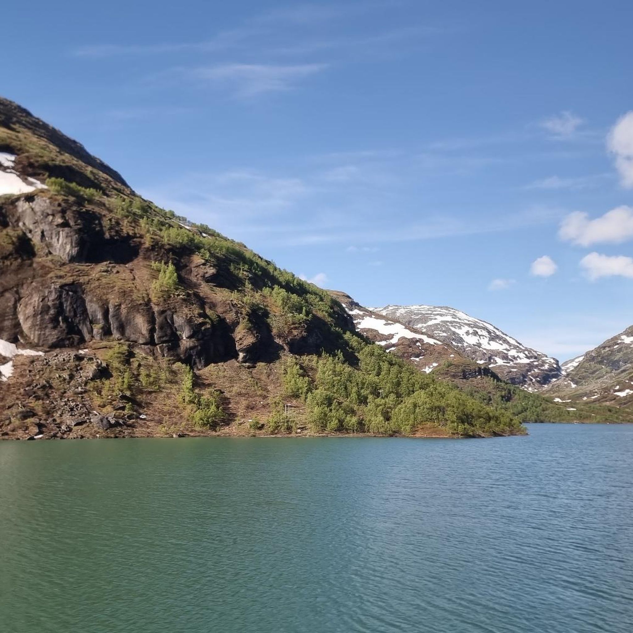
Hiking in Høyrokampen Naturreservat offers diverse natural features within a landscape shaped by glacial and geological processes. The reserve spans 10 square kilometers and is distinguished by south-facing cliffs, scree slopes, natural pastures, and calcareous areas. This environment supports a rich plant life, making it a significant botanical locality. Hikers can explore varied terrain, from lush areas to rugged mountain environments.
Best hiking trails in Høyrokampen Naturreservat
- The most popular hiking route is Krossbu Tourist Station – Bøverbreen Glacier loop…
Last updated: July 1, 2026
4.6
(40)
201
hikers
5.30km
01:58
170m
170m
Hard hike. Great for any fitness level. Sure-footedness, sturdy shoes and alpine experience required.
4.3
(8)
28
hikers
7.68km
02:39
210m
210m
Hard hike. Good fitness required. Sure-footedness, sturdy shoes and alpine experience required.

Sign up for free
4.7
(7)
26
hikers
11.3km
03:38
420m
420m
Moderate hike. Good fitness required. Mostly accessible paths. Sure-footedness required.
5.0
(2)
13
hikers
7.17km
02:11
170m
170m
Moderate hike. Good fitness required. Mostly accessible paths. Sure-footedness required.
4.0
(1)
6
hikers
Moderate hike. Good fitness required. Easily-accessible paths. Suitable for all skill levels.
Get access to more routes and recommendations from other explorers.
Sign up for free
Already have an account?
Our route recommendations are based on thousands of hikes, rides, and runs completed by other people on komoot.
Start today with a free account
Your next adventure awaits.
Login or Signup
Popular around Høyrokampen Naturreservat
Tips from the Community


A breathtaking scenery with snow in midsummer. The highest point is the Fantesteinen. In midsummer (late June), you can even still see cross-country skiers – so it's still very cool to cold.
0
0

Old and new, superbly packaged, a real eye-catcher. You can also stay overnight here and go on wonderful hikes
4
0
Here, at around 1400 m altitude, is the highest road point in Scandinavia, just above the large mountain hut Sognefjellhytta
4
0

The path leads along the river towards the glacier
0
0

And stay at Europe's highest mountain pass at 1,428 m and enjoy summer skiing (until mid-July) and the snowy areas.
0
0
At the highest mountain pass in Northern Europe, at 1528
0
0

Frequently Asked Questions
What kind of landscapes can I expect to see while hiking in Høyrokampen Naturreservat?
Høyrokampen Naturreservat offers a diverse range of landscapes shaped by glacial and geological processes. You'll encounter south-facing cliffs, scree slopes, natural pastures, and calcareous areas. The terrain varies from lush valleys to rugged mountain areas, providing stunning vistas, especially with autumn colors in certain seasons.
Are there any easy hiking trails suitable for beginners in Høyrokampen Naturreservat?
Yes, Høyrokampen Naturreservat has options for various ability levels. For an easier hike, consider the Krossbu Tourist Station – Bøvre River loop from Sletterust, which is 5.1 km long and generally takes about 1 hour 39 minutes to complete.
What is the best time of year to go hiking in Høyrokampen Naturreservat?
The best time to hike in Høyrokampen Naturreservat is typically during the warmer months when trails are clear of snow and the unique plant life is in bloom. Autumn also offers stunning vistas with beautiful fall colors. Always check local weather conditions before heading out.
What makes Høyrokampen Naturreservat unique for hikers?
The reserve is primarily recognized for its exceptionally rich plant life, making it a significant botanical locality. Hikers can encounter unique species such as the Lady's Slipper orchid, Lapprose, Rosekarse, and Aursundløvetann, alongside fine views of the surrounding mountains and lakes.
Are there any circular hiking routes in Høyrokampen Naturreservat?
Yes, several routes in the reserve are circular. Examples include the challenging Krossbu Tourist Station – Bøverbreen Glacier loop from Sletterust, or the moderate Sognefjellshytta – Fantesteinen Pass Summit loop from Krossbu.
What are the most scenic viewpoints in Høyrokampen Naturreservat?
A prominent hiking highlight is the ascent of Høyrokampen peak itself (1440 meters). The Tjønnryggen ridge offers spectacular views of the emerald-green mountain lakes Bøvertonvatnet and Høydalsvatnet, as well as the high mountains of Jotunheimen and Breheimen.
How many hiking trails are available in Høyrokampen Naturreservat?
There are 9 hiking routes available in Høyrokampen Naturreservat, ranging from easy to difficult. These trails have been explored by nearly 1000 hikers using komoot.
What is the general difficulty level of hikes in Høyrokampen Naturreservat?
The hikes in Høyrokampen Naturreservat offer a range of difficulties. There is 1 easy route, 4 moderate routes, and 4 difficult routes. While generally considered moderate, some sections, particularly slopes leading up from areas like Bakkan, can be steep.
What do other hikers say about the trails in Høyrokampen Naturreservat?
The routes in Høyrokampen Naturreservat are highly rated by the komoot community, with an average score of 4.6 stars from over 200 reviews. Hikers often praise the varied mountainous and forested regions, glacial features, and rich botanical areas.
Is Høyrokampen Naturreservat accessible by public transport?
The region's proximity to the Sognefjellsvegen and the Jotunheimen mountain lodge suggests some accessibility, but specific public transport routes directly into the reserve may be limited. It's advisable to check local bus schedules or consider driving to trailheads.
Are there any specific landmarks or natural features to look out for?
Beyond the botanical richness, hikers can observe the unique geological formations shaped by glacial processes. The reserve borders Breheimen National Park and the Høydalen Protected Landscape Area, offering views into these broader mountainous regions. The mountain lakes Bøvertonvatnet and Høydalsvatnet are also notable natural features.
What is the longest moderate hike available in the reserve?
The longest moderate hike is the Sognefjellshytta – Fantesteinen Pass Summit loop from Krossbu, covering 11.3 km with an estimated duration of 3 hours 38 minutes.
Most popular routes in Høyrokampen Naturreservat

Get inspired with the komoot mobile app


Explore more
Browse the best Hikes in other regions.
