The best cycling routes in Lyseren Naturreservat
4.7
(27)
302
riders
18
rides
Touring cycling routes in Lyseren Naturreservat traverse a diverse landscape characterized by a larger bog complex, featuring open bog areas and wooded sections with mountain birch and willow. This varied terrain offers a mix of paths, from potentially flat or gently rolling routes through wetlands to more sheltered options within forested areas. The reserve encompasses four distinct lakes, adding to the scenic beauty and ecological diversity. It is also a vital wetland area, serving as an important breeding ground and…
Last updated: June 26, 2026
13
riders
Hard bike ride. Very good fitness required. Mostly paved surfaces. Suitable for all skill levels.
6
riders
Moderate bike ride. Good fitness required. Mostly paved surfaces. Suitable for all skill levels.

Sign up for free
4.0
(2)
3
riders
14.0km
01:02
150m
150m
Easy bike ride. Great for any fitness level. Mostly paved surfaces. Suitable for all skill levels.
3
riders
6.96km
00:30
90m
90m
Easy bike ride. Great for any fitness level. Mostly paved surfaces. Suitable for all skill levels.
4.6
(8)
56
riders
Moderate bike ride. Good fitness required. Mostly paved surfaces. Suitable for all skill levels.
Get access to more routes and recommendations from other explorers.
Sign up for free
Already have an account?
Our route recommendations are based on thousands of hikes, rides, and runs completed by other people on komoot.
Start today with a free account
Your next adventure awaits.
Login or Signup
Popular around Lyseren Naturreservat
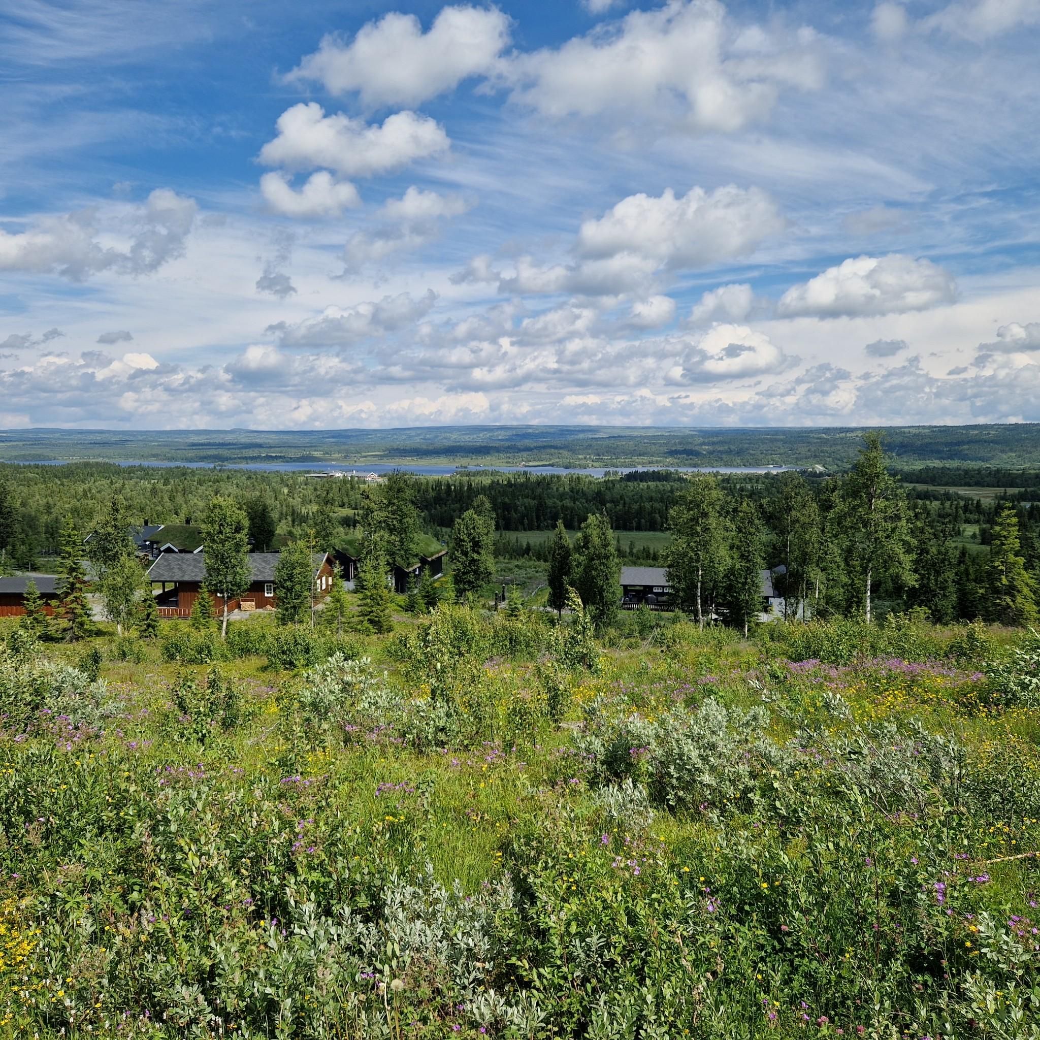
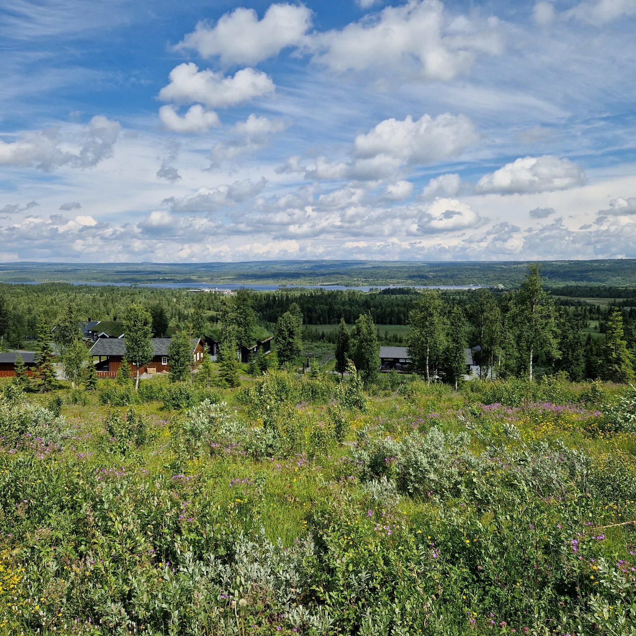

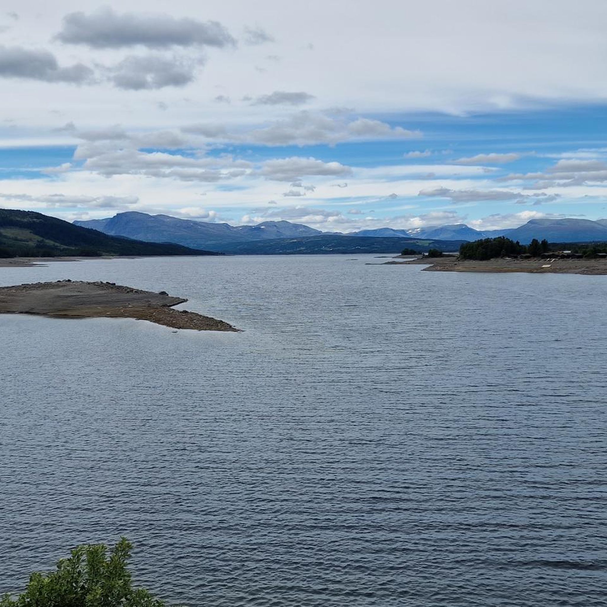
Tips from the Community


Due to reconstruction of the dam, it is currently not possible to cycle over - probably through 2026. In the meantime, cyclists will have to use the road.
0
0


Nice surprise along the trail: Tisleifjord stretches out below with a real sense of space.
0
0
Kamben Høyfjellshotell is a Mjølkevegen Partner on the Golsfjellet mountain plateau. Dine and sleep well and enjoy the great service!
0
0
Oset Fjellhotell is Mjølkevegen Partner. The hotell offers accommodation and meals, an outdoor sauna at the pond and an indoor swimming pool. Passing cyclists can enjoy a bite to eat or a beverage at the Fjellbistro.
0
0
The rest shelters by Mjølkevegen along the route are called "Mjølkerampe" in Norwegian, referring to the stands where milk buckets were placed to be collected by the passing milk vehicle. This one is located at Furuset where the two route alternatives via Gauklie and Tyrisholt/Langestølen meet again. Enjoy your break, and please do not litter.
0
0
Gomobu Mountain Lodge is a Mjølkevegen Partner and offers cyclists accommodation and good food. Gomobu cooperates with the the Mjølkevegen Partners on Golsfjellet in regards of bicycle rental and transport. Located 3 km uphill from Vaset village on the plateau towards Golsfjellet, riders wake up to a head start.
0
0
Frequently Asked Questions
What types of touring cycling routes are available in Lyseren Naturreservat?
Lyseren Naturreservat offers a diverse range of touring cycling routes, including options for gravel biking, road cycling, and general cycling. The terrain varies from open bog areas to wooded sections with mountain birch and willow, providing a mix of potentially flat or gently rolling paths and more sheltered routes.
What are the difficulty levels of the touring cycling routes?
The routes cater to various fitness levels. You'll find easy rides suitable for all skill levels, moderate routes requiring good fitness that may include unpaved segments, and harder expeditions for very good fitness, some of which might involve pushing your bike. Overall, there are 2 easy, 10 moderate, and 8 difficult routes available.
Are there any family-friendly touring cycling routes in Lyseren Naturreservat?
Yes, the reserve includes routes suitable for all skill levels, with easily accessible paths and minimal elevation gain, which are ideal for relaxed touring with family. For example, the Kamben Mountain Hotel loop from Gol Airport, Klanten is an easy 8.7 miles (14.0 km) path that offers a pleasant ride.
Can I bring my dog on the touring cycling routes?
While the region is generally welcoming to outdoor activities, specific regulations for dogs within Lyseren Naturreservat for cycling are not detailed. It's always best to keep dogs on a leash and ensure they do not disturb wildlife, especially given the reserve's importance for mountain and wetland birds. Please check local signage for any specific restrictions.
What kind of natural features and wildlife can I expect to see?
The reserve is characterized by a larger bog complex with open bog areas and wooded sections of mountain birch and willow. This diverse ecosystem is an important habitat for mountain and wetland birds, offering excellent opportunities for wildlife observation during your ride. You might also encounter scenic views, such as those of Tisleifjorden.
Are there circular touring cycling routes available?
Yes, many of the touring cycling routes in Lyseren Naturreservat are designed as loops. Examples include the popular View of Tisleifjorden – Oset Mountain Church loop from Gol Airport, Klanten and the Oset Fjellhotell and Bistro – Oset Mountain Church loop from Tubbeåne.
What is the best time of year to go touring cycling in Lyseren Naturreservat?
The best time for touring cycling typically aligns with the warmer, drier months when paths are clear of snow and ice, usually from late spring through early autumn. This period offers the most pleasant weather for enjoying the diverse landscapes and wildlife.
What do other touring cyclists enjoy most about cycling in Lyseren Naturreservat?
The area is highly rated by the komoot community, with an average score of 4.6 stars from over 20 reviews. Cyclists often praise the varied terrain, the scenic views like those of Tisleifjorden, and the opportunity to experience the unique natural environment, including the bog complexes and wooded areas.
Are there any specific routes that offer notable viewpoints?
Yes, routes such as the View of Tisleifjorden – Oset Mountain Church loop from Gol Airport, Klanten are known for offering scenic views, specifically of Tisleifjorden. The varied terrain also means many routes will provide picturesque glimpses of the surrounding natural landscape.
How long do the touring cycling routes typically take to complete?
Route durations vary significantly based on distance and difficulty. Easy routes can be completed in under 2 hours, while moderate routes might take around 2-5 hours. More challenging expeditions can extend beyond 5 hours, depending on your pace and fitness level.
Is there parking available near the touring cycling routes?
While specific parking locations are not detailed, many routes, especially those starting from places like Gol Airport, Klanten, or Tubbeåne, typically have designated parking areas nearby to accommodate visitors accessing the trails. It is advisable to check the starting point of your chosen route for parking information.
What kind of elevation changes can I expect on the routes?
Elevation changes vary with route difficulty. Easy routes might have minimal elevation gain, around 1,000 feet. Moderate routes can involve up to 3,000 feet of elevation gain, while harder expeditions may exceed 3,000 feet, requiring good climbing ability or even some pushing of your bike.
Most popular routes in Lyseren Naturreservat

Get inspired with the komoot mobile app


Explore more
Browse the best Cycling routes in other regions.
