The best walks and hikes in Ottadalen Landskapsvernområde
4.1
(296)
1,511
hikers
54
hikes
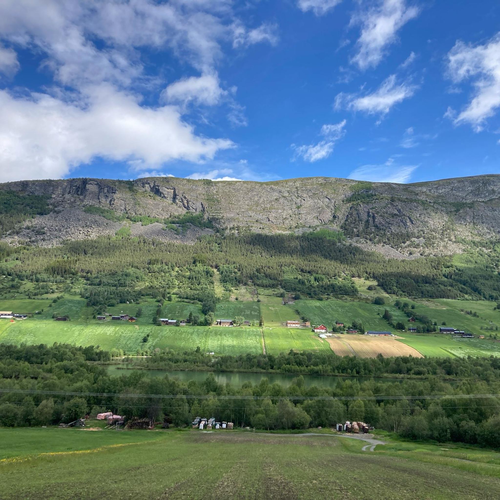
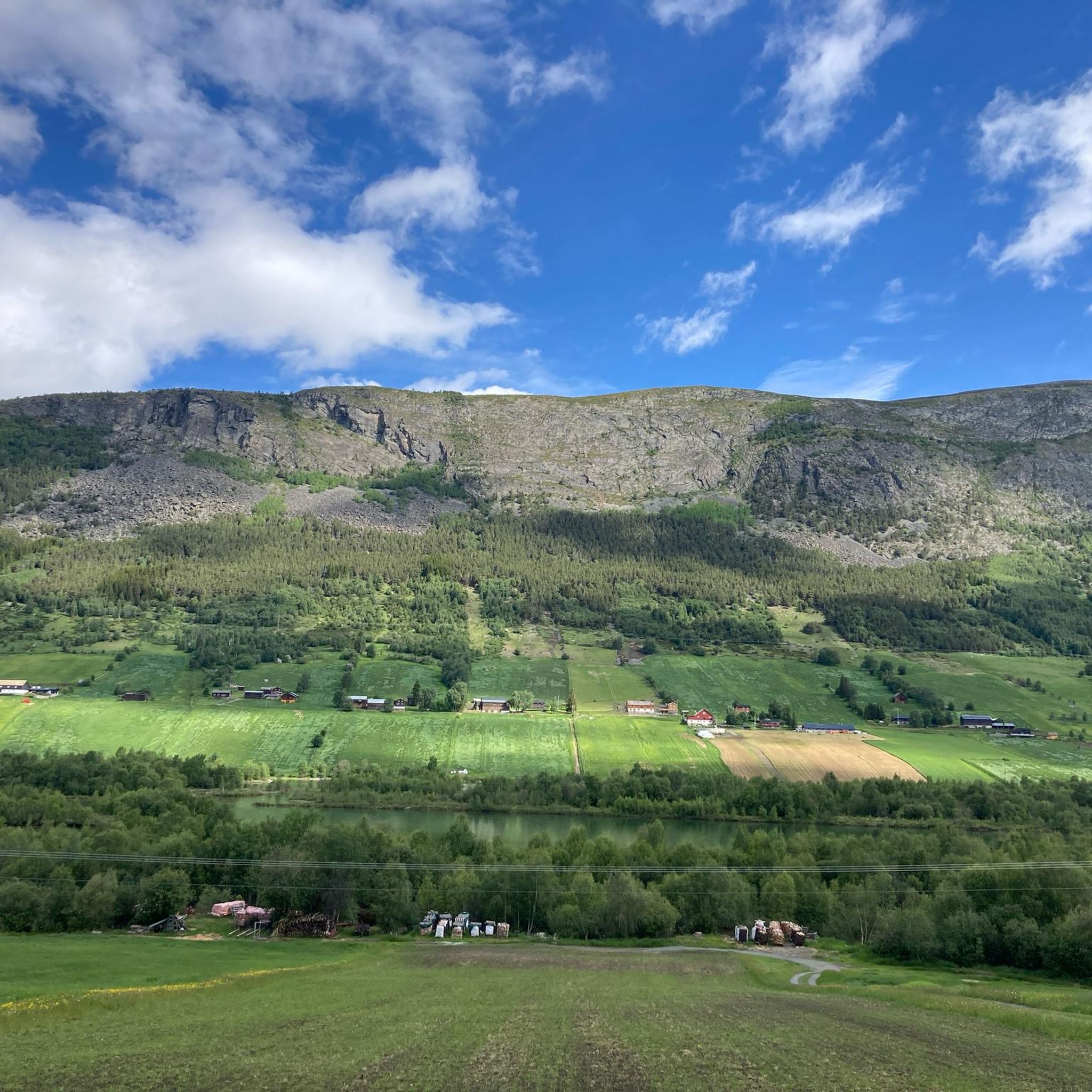
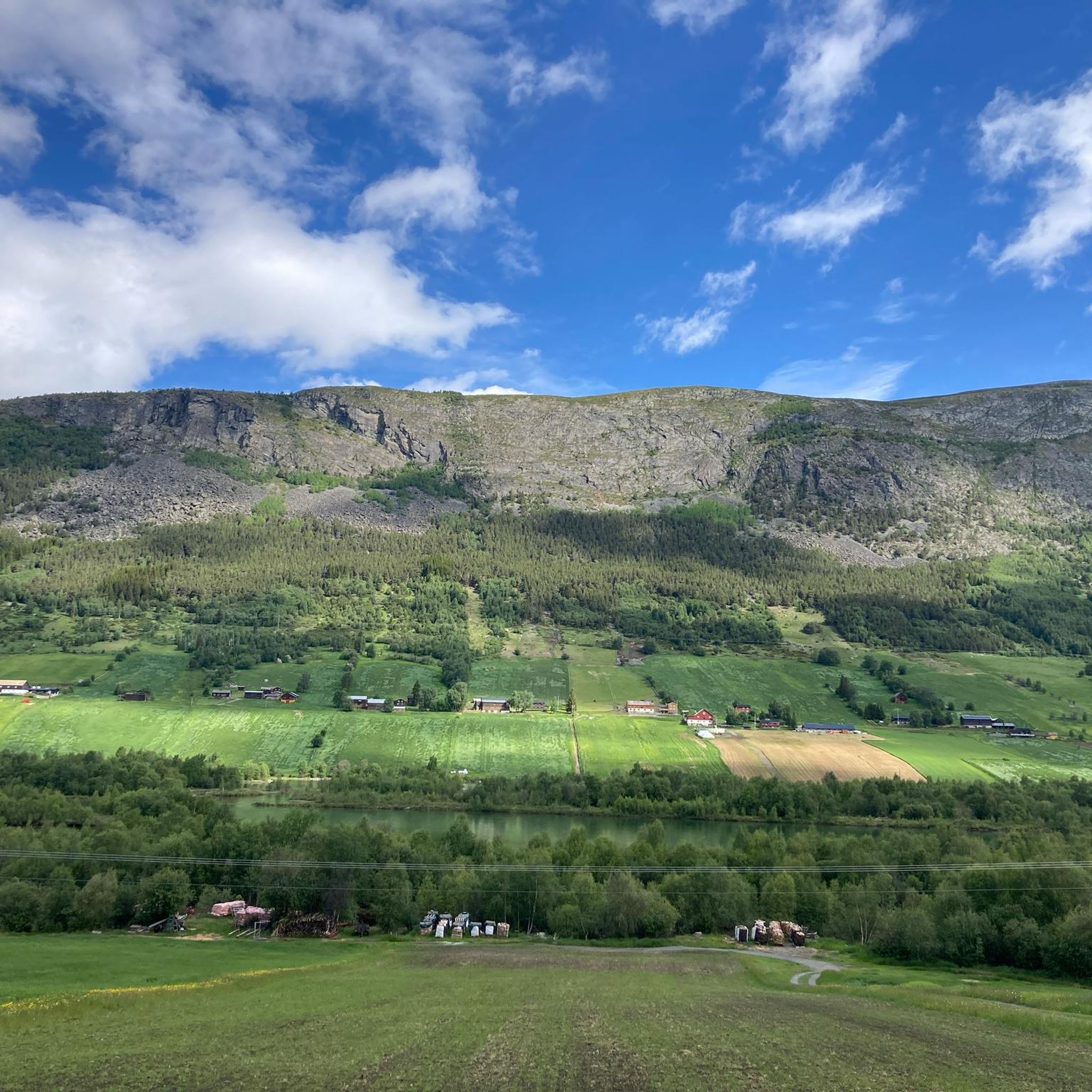
Hiking in Ottadalen Landskapsvernområde offers diverse terrain, situated on the northern side of the Ottadalen valley and bordering Reinheimen National Park. The region features dramatic mountain slopes, fertile pastures, and a continuous high-mountain area. Landscapes range from rounded terrain to rugged environments with snow-capped mountain peaks, glaciers, deep valleys, and striking rock formations. This area is also a crucial habitat for wild reindeer.
Best hiking trails in Ottadalen Landskapsvernområde
- The most popular hiking route is Hiking loop from Uppnosi,…
Last updated: August 24, 2026
5.0
(1)
3
hikers
1.90km
00:31
30m
30m
Easy hike. Great for any fitness level. Easily-accessible paths. Suitable for all skill levels.
4.4
(7)
24
hikers
8.69km
03:01
460m
460m
Moderate hike. Good fitness required. Easily-accessible paths. Suitable for all skill levels.

Sign up for free
4.5
(4)
38
hikers
3.72km
02:07
500m
500m
Hard hike. Good fitness required. Sure-footedness, sturdy shoes and alpine experience required.
3.6
(5)
24
hikers
3.67km
00:59
50m
50m
Easy hike. Great for any fitness level. Easily-accessible paths. Suitable for all skill levels.
3.6
(5)
16
hikers
8.01km
02:12
130m
130m
Moderate hike. Good fitness required. Easily-accessible paths. Suitable for all skill levels.
Get access to more routes and recommendations from other explorers.
Sign up for free
Already have an account?
Our route recommendations are based on thousands of hikes, rides, and runs completed by other people on komoot.
Start today with a free account
Your next adventure awaits.
Login or Signup
Popular around Ottadalen Landskapsvernområde
Tips from the Community

Steep climb 400m over 1.2km, leisurely descent and return along the river, (a very quiet road).
1
0

A solid wooden bridge leads over the small river, whose murmuring can be heard early on through the forest. A signpost close by also provides orientation about the nearest destinations.
2
0

Very impressive rapids of the Ottaelva.
3
0
No special skill required.
2
1
You can find out more here.
2
0

Near the road bridge, the river Ottaelva has formed impressive rapids between boulders.
0
0
With a large parking lot, a toilet house, numerous picnic tables, barbecue huts and a lawn, this pond invites you to swim. There's even a lifebuoy on the shore.
1
0
Frequently Asked Questions
How many hiking trails are there in Ottadalen Landskapsvernområde?
There are over 50 hiking trails available in Ottadalen Landskapsvernområde, catering to various skill levels. You'll find a good mix of easy, moderate, and challenging routes to explore.
What kind of landscapes can I expect to see while hiking in Ottadalen Landskapsvernområde?
The region offers a diverse range of landscapes, from dramatic mountain slopes and fertile pastures to rugged high-mountain areas with snow-capped peaks, glaciers, deep valleys, and striking rock formations. It borders Reinheimen National Park, providing a continuous high-mountain experience.
Are there any family-friendly hiking options in Ottadalen Landskapsvernområde?
Yes, Ottadalen Landskapsvernområde has numerous easy trails suitable for families. For instance, the Hiking loop from Uppnosi is an easy 1.2-mile route that takes about 30 minutes, perfect for a quick family outing. There are 24 easy routes in total.
Can I bring my dog on the hiking trails?
Generally, dogs are welcome on trails in Norway, but it's crucial to keep them on a leash, especially during certain periods (typically April 1 to October 31) to protect wildlife, particularly wild reindeer, for which Ottadalen Landskapsvernområde is a crucial habitat. Always check local regulations for specific routes.
Are there any hikes that feature waterfalls?
Yes, the region is known for its spectacular waterfalls. A popular option is the Dønfossen Rapids – Waterfall loop from Ottaelva, a moderate 5.4-mile path that leads directly past the impressive Dønfossen rapids.
What are the most challenging hikes in the area?
For those seeking a challenge, Ottadalen Landskapsvernområde offers several difficult routes. The Tronoberget loop from Lom stavkyrkje is a 2.3-mile difficult trail that takes around 2 hours 7 minutes, leading through varied terrain. There are 8 difficult routes in total.
Are there any circular hiking routes available?
Yes, many trails in Ottadalen Landskapsvernområde are circular, allowing you to start and end at the same point. Examples include the easy Hiking loop from Uppnosi and the moderate Dønfossen Rapids – Waterfall loop from Ottaelva.
What is the best time of year to go hiking in Ottadalen Landskapsvernområde?
The best time for hiking is typically during the summer months, from late June to early September, when the trails are generally free of snow and the weather is milder. However, the region's diverse terrain means conditions can vary, and some higher-altitude routes may retain snow longer.
What do other hikers say about the trails in Ottadalen Landskapsvernområde?
The trails in Ottadalen Landskapsvernområde are highly rated by the komoot community, with an average score of 4.2 stars from over 200 reviews. Hikers often praise the varied terrain, from gentle paths to more challenging ascents, and the stunning natural beauty of the valley and mountain landscapes.
Are there any cultural or historical points of interest along the trails?
Yes, the region has cultural significance, including numerous cultural monuments related to historical irrigation systems and trapping. The historic town of Lom, which serves as a gateway to Jotunheimen National Park, is nearby and hosts the Norwegian Mountain Center, offering insights into the region's heritage.
Is public transport available to access trailheads?
While specific public transport routes directly to all trailheads can be limited in a natural landscape protection area, the main towns in the Ottadalen valley, such as Lom, are accessible by bus. From these points, you may need to arrange local transport or drive to reach more remote trail starting points.
Where can I find parking for hiking trails?
Parking is generally available at popular trailheads and near villages like Lom. It's advisable to check specific route descriptions for designated parking areas, as some may require a small fee or have limited space, especially during peak season.
Most popular routes in Ottadalen Landskapsvernområde

Get inspired with the komoot mobile app


Explore more
Browse the best Hikes in other regions.
