The best running trails in Surna Dyrelivsfredning
4.0
(2)
35
runners
4
runs
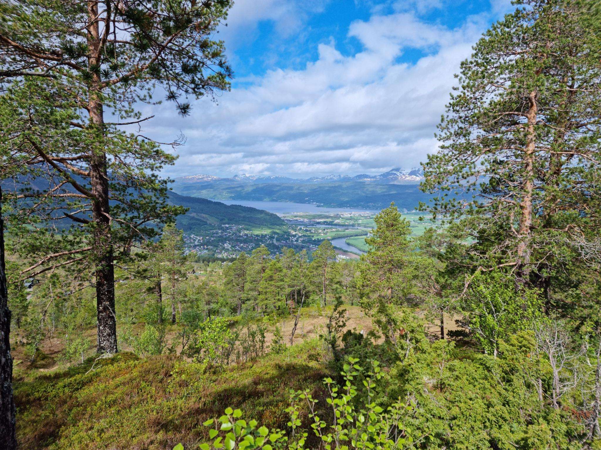
Jogging in Surna Dyrelivsfredning offers routes through a designated wetland environment, characterized by diverse flora and accessible trails. The area features a unique landscape with shallow waters and rich vegetation, providing a tranquil setting for running. Many trails include mostly paved surfaces, catering to various fitness levels, while some routes also incorporate gentle elevation changes. This nature reserve is also a significant area for birdlife, adding to the natural experience.
Best jogging routes in Surna Dyrelivsfredning
- The most popular jogging…
Last updated: May 17, 2026
5.0
(1)
14
runners
9.19km
00:59
110m
110m
Moderate run. Good fitness required. Mostly paved surfaces. Suitable for all skill levels.
13
runners
8.23km
00:51
60m
60m
Moderate run. Good fitness required. Mostly paved surfaces. Suitable for all skill levels.

Sign up for free
3.0
(1)
7
runners
11.8km
01:15
120m
120m
Moderate run. Good fitness required. Mostly paved surfaces. Suitable for all skill levels.
1
runners
10.5km
01:05
70m
70m
Moderate run. Good fitness required. Mostly paved surfaces. Suitable for all skill levels.
Our route recommendations are based on thousands of hikes, rides, and runs completed by other people on komoot.
Start today with a free account
Your next adventure awaits.
Login or Signup
Popular around Surna Dyrelivsfredning
Frequently Asked Questions
How many running routes are available in Surna Dyrelivsfredning?
There are 4 dedicated running routes in Surna Dyrelivsfredning, all offering a moderate challenge. These trails provide a great way to explore the unique wetland environment.
What kind of terrain can I expect on the jogging paths in Surna Dyrelivsfredning?
The jogging paths in Surna Dyrelivsfredning are known for their accessible trails, with many featuring mostly paved surfaces. You'll experience a unique wetland environment with diverse flora, and some routes also include gentle elevation changes, offering varied terrain for your run.
Are there any interesting landmarks or points of interest along the running routes?
Yes, several routes offer points of interest. For instance, the Surna naturreservat loop from Øye kyrkje passes by the historic Øye Church, a beautiful wooden long church dating back to 1871. The entire reserve itself is a designated wetland, offering unique natural features and diverse plant life.
Is Surna Dyrelivsfredning a good place for birdwatching while running?
Absolutely. Surna Dyrelivsfredning is a significant resting and overwintering area for waterfowl, making it an excellent spot for birdwatching. You might encounter various species of ducks, waders, and gulls, and even some rare breeding birds, adding an extra dimension to your run.
What do other runners say about the trails in Surna Dyrelivsfredning?
The running routes in Surna Dyrelivsfredning are highly rated by the komoot community, with an average score of 4.0 stars. Runners often appreciate the tranquil wetland scenery, the accessible paths, and the opportunity to experience nature while exercising.
Are the running routes in Surna Dyrelivsfredning suitable for families?
Yes, many of the trails in Surna Dyrelivsfredning are considered suitable for all skill levels due to their accessible paths and mostly paved surfaces. This makes them a good option for families looking to enjoy a run together in nature.
Can I bring my dog on the running trails in Surna Dyrelivsfredning?
While the region is a nature reserve, specific rules regarding dogs on trails can vary. It's generally advisable to keep dogs on a leash to protect the local wildlife, especially in a designated wetland area known for its birdlife. Always check local signage for the most current regulations.
What is the longest running route available in the reserve?
The longest running route is the Hesthølen – Surna naturreservat loop from Grytafeltet, which spans 11.8 km (7.3 miles) and typically takes about 1 hour and 15 minutes to complete. This trail leads you through the heart of the wetland environment.
Are there any running routes that offer scenic views?
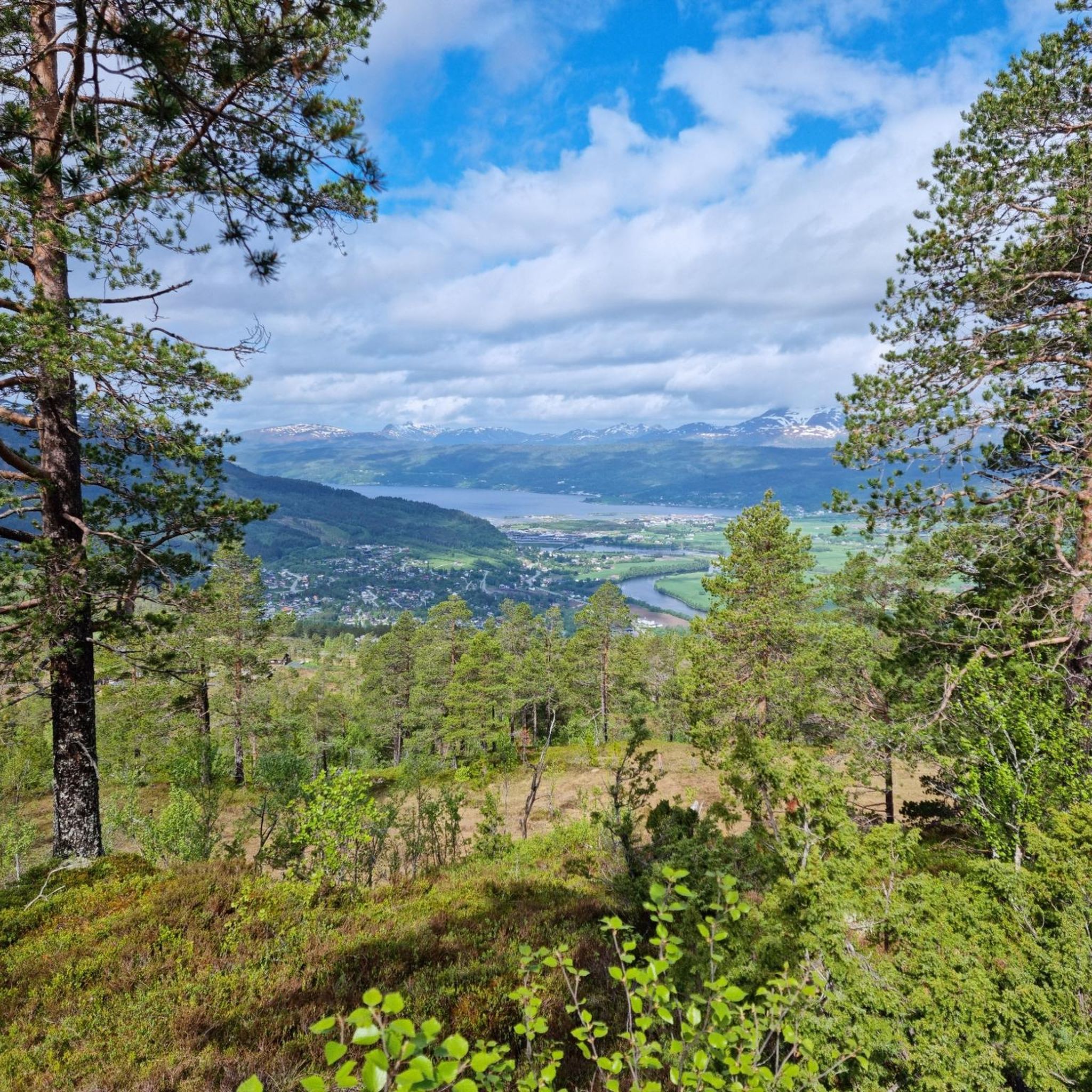
While the region is primarily known for its wetland scenery and birdlife, routes like the Surna naturreservat loop from Surnadalsøra involve some elevation gain, which can offer rewarding vistas of the surrounding landscape as you run.
What is the best time of year to go jogging in Surna Dyrelivsfredning?
The best time to go jogging is generally during the warmer months, from spring to early autumn, when the trails are clear and the weather is pleasant. This period also offers the best opportunities for birdwatching, as many species are present for resting or breeding.
Is there parking available near the running routes?
Yes, routes often start from accessible points like Grytafeltet or Øye kyrkje, which typically have parking facilities nearby. It's always a good idea to check the specific route details on komoot for precise parking information before your visit.
Are there any cafes or restaurants near the running trails?
While Surna Dyrelivsfredning is a nature reserve, the nearby town of Surnadalsøra offers various amenities, including cafes and restaurants where you can refuel after your run. It's a short distance from many of the trailheads.
What is the average distance and duration for a running route in Surna Dyrelivsfredning?
The running routes in Surna Dyrelivsfredning typically range from 8.2 km (5.1 miles) to 11.8 km (7.3 miles). Most moderate routes can be completed in approximately 50 minutes to 1 hour and 15 minutes, depending on your pace.
Most popular routes in Surna Dyrelivsfredning

Get inspired with the komoot mobile app


Explore more
Browse the best Running Trails & Routes in other regions.
