The best walks and hikes in Dalsida Landskapsvernområde
4.5
(827)
6,099
hikers
77
hikes
Hiking trails in Dalsida Landskapsvernområde traverse a mountainous landscape characterized by significant peaks and dramatic geological formations. This protected area, spanning 647 km², is located across Molde, Rauma, and Lesja municipalities in Norway. The terrain includes prominent rock formations like Trollryggen and Trollveggen, offering diverse hiking experiences. The region is also a habitat for wild reindeer, contributing to its wilderness character.
Best hiking trails in Dalsida Landskapsvernområde
- The most popular hiking route is Beautiful short mountain hike to Litlefjellet,…
Last updated: May 19, 2026
4.8
(4)
13
hikers
1.92km
01:01
170m
170m
Moderate hike. Great for any fitness level. Mostly accessible paths. Sure-footedness required.
5.0
(5)
61
hikers
1.53km
00:47
120m
120m
Moderate hike. Great for any fitness level. Mostly accessible paths. Sure-footedness required.

Sign up for free
1
hikers
3.04km
02:09
430m
440m
Hard hike. Good fitness required. Sure-footedness, sturdy shoes and alpine experience required.
3
hikers
497m
00:13
40m
40m
Easy hike. Great for any fitness level. Easily-accessible paths. Suitable for all skill levels.
4.8
(6)
27
hikers
5.27km
01:53
230m
230m
Moderate hike. Great for any fitness level. Mostly accessible paths. Sure-footedness required.
Get access to more routes and recommendations from other explorers.
Sign up for free
Already have an account?
Our route recommendations are based on thousands of hikes, rides, and runs completed by other people on komoot.
Start today with a free account
Your next adventure awaits.
Login or Signup
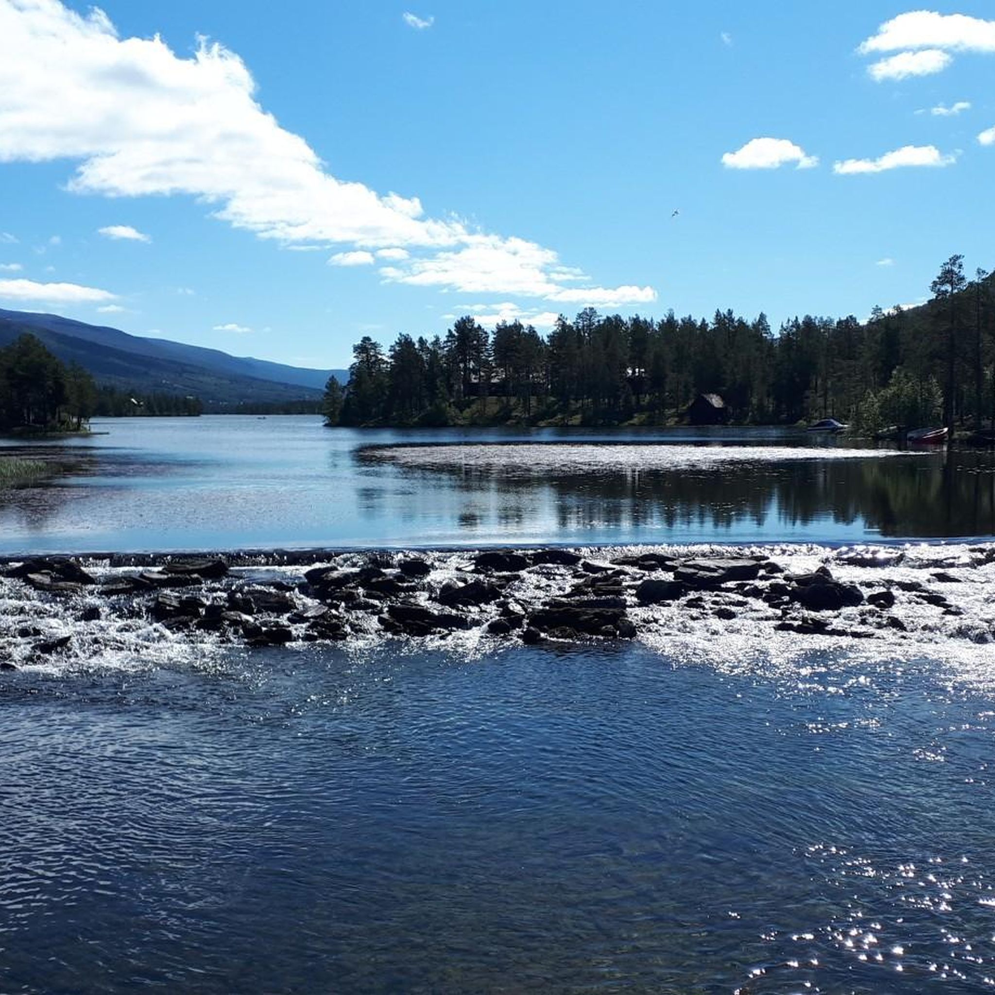
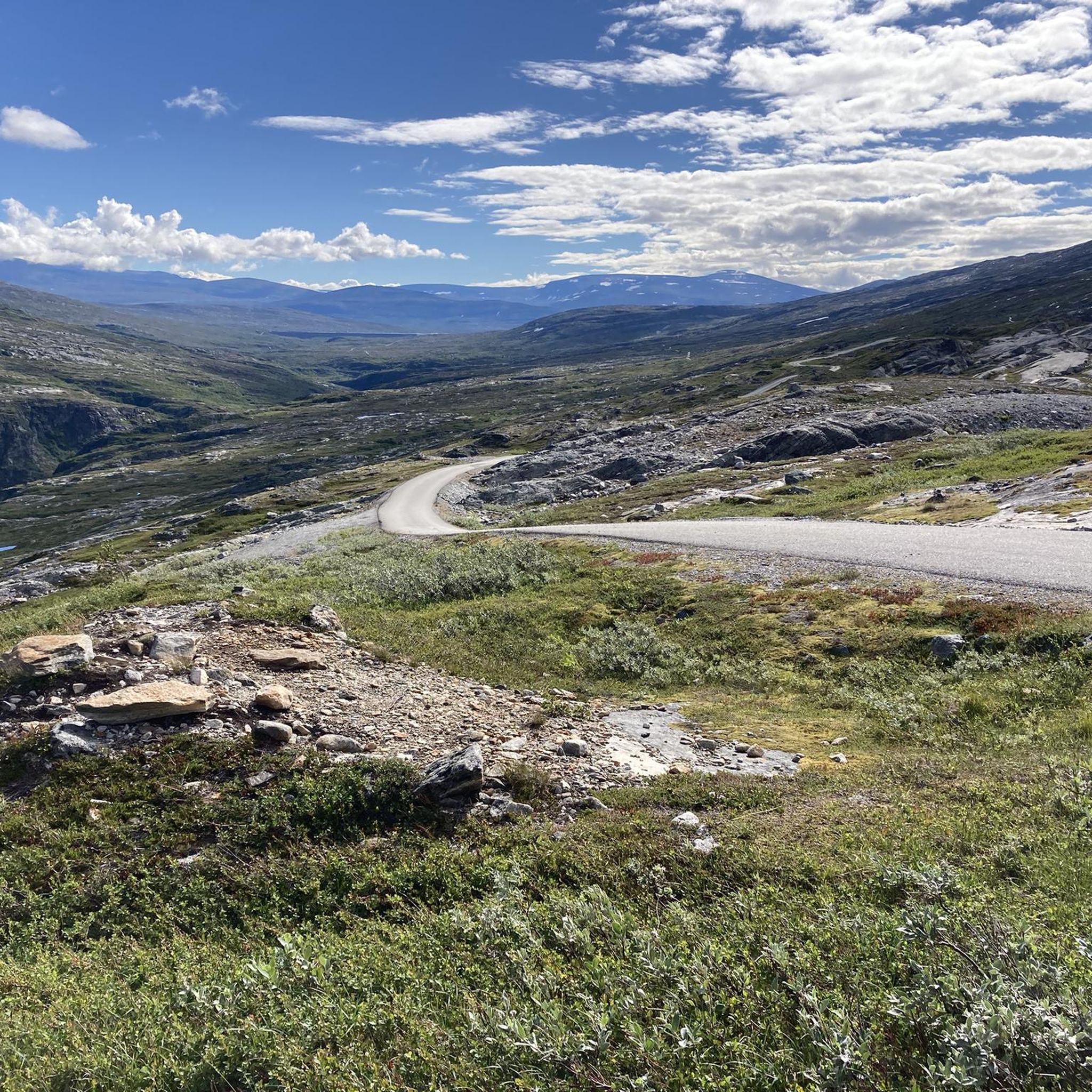
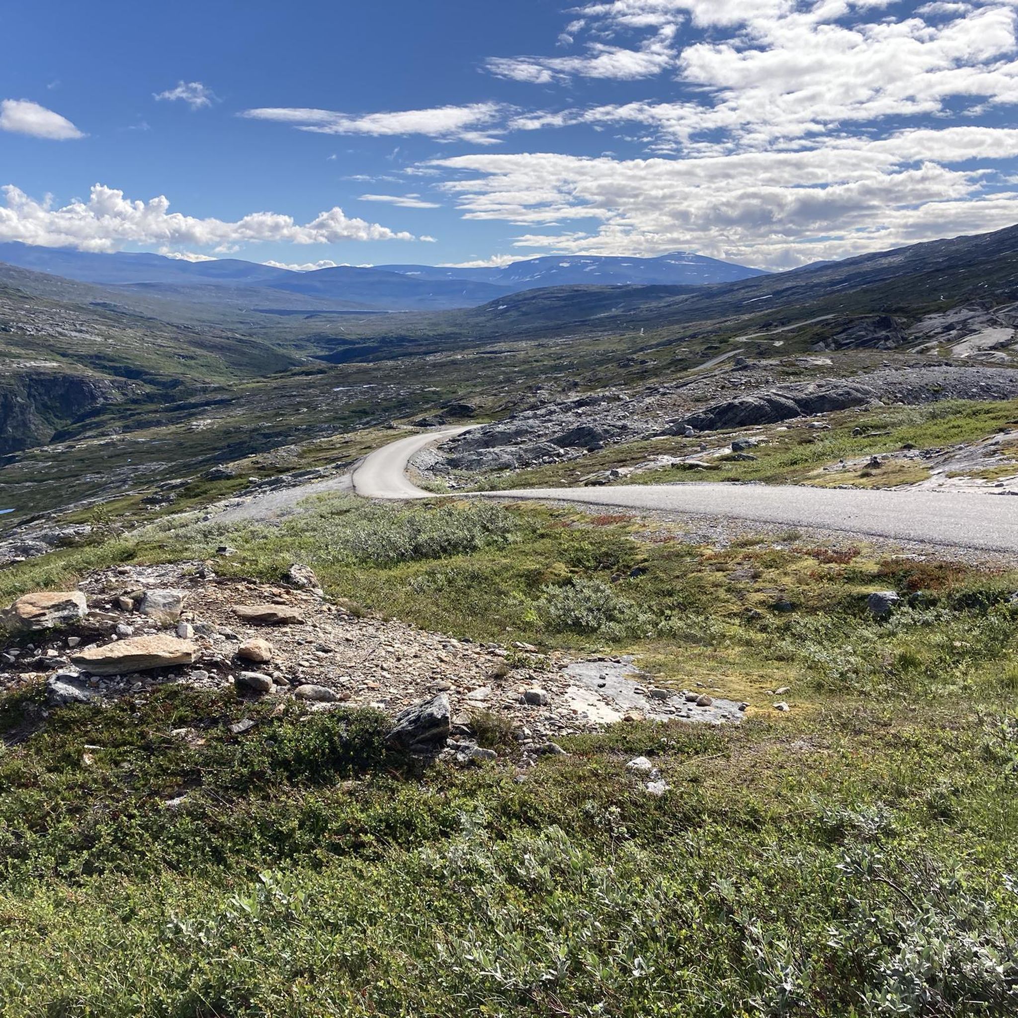

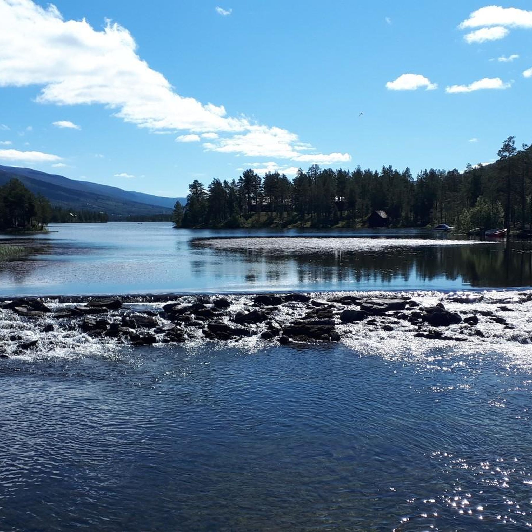
Tips from the Community

Aurstaupet is often referred to as Mini-Trolltunga. After a short hike, you suddenly find yourself standing at the edge of Aurstupet. Keep your distance, as it is several hundred meters down. But the view from up here is magnificent.
1
0

You will be rewarded with a breathtaking view and a great mountain panorama.
0
0


Small lake and waterfall in scenic surroundings. Litlefjellet is also easily accessible from here.
0
0

Get spectacular impressions again
0
0
Frequently Asked Questions
How many hiking trails are available in Dalsida Landskapsvernområde?
Dalsida Landskapsvernområde offers a wide selection of hiking experiences, with over 75 trails listed on komoot. These routes cater to various fitness levels, from easy paths to challenging treks requiring alpine experience.
What types of terrain can I expect on hikes in Dalsida Landskapsvernområde?
The region is characterized by its mountainous landscape, featuring significant peaks and dramatic geological formations. You'll encounter varied terrain, including prominent rock formations like Trollryggen and Trollveggen, offering diverse hiking experiences.
What are the difficulty levels of hiking trails in Dalsida Landskapsvernområde?
Hiking trails in Dalsida Landskapsvernområde range from easy to difficult. There are 20 easy routes, 20 moderate routes, and 37 difficult routes, ensuring options for all experience levels. Some challenging treks may require very good fitness, sure-footedness, and alpine experience.
What natural landmarks or viewpoints can I see while hiking?
Hikers can enjoy breathtaking views of prominent rock formations such as Trollryggen and Trollveggen. The area also features notable peaks like Kleneggen (the highest at 1,964 meters), Store Venjetind, Kalskråtinden, and Romsdalshornet. For a closer look at these dramatic features, consider routes like View of Trollveggen – View of Trollryggen loop from Romsdalshornet.
What is the best time of year to go hiking in Dalsida Landskapsvernområde?
The best time for hiking in Dalsida Landskapsvernområde is typically during the late spring, summer, and early autumn months when the trails are clear of snow and the weather is most favorable. This period allows for access to the full range of trails and offers the best conditions for enjoying the mountainous scenery.
Are there any family-friendly hiking options in Dalsida Landskapsvernområde?
Yes, Dalsida Landskapsvernområde offers trails suitable for families. While specific 'family-friendly' routes are not detailed, the presence of 20 easy routes suggests options that are shorter and have less elevation gain, making them more accessible for families with children. Always check route details for suitability.
Are there any circular hiking routes in Dalsida Landskapsvernområde?
Yes, there are several circular hiking routes available. For example, the View of Trollveggen – View of Trollryggen loop from Romsdalshornet is a moderate circular path offering stunning views. Another option is the Hiking loop from Romsdalshornet, which is a more challenging circular route.
Is public transport available to Dalsida Landskapsvernområde trailheads?
While Dalsida Landskapsvernområde is a protected natural area, information on specific public transport links directly to trailheads is limited. It is advisable to check local transport schedules for Molde, Rauma, and Lesja municipalities, which border the area, and plan for potential taxi or car hire for the final leg to more remote starting points. For broader regional travel, you can consult Visit Norway for general travel advice to the Dovrefjell region.
Do I need permits for hiking in Dalsida Landskapsvernområde?
Dalsida Landskapsvernområde is a protected landscape area. Generally, permits are not required for hiking on established trails in Norwegian protected areas like this. However, it's always good practice to respect local regulations, especially concerning wild reindeer habitats. For detailed information on specific rules or potential restrictions, you can refer to the official information about the protected area on Wikipedia (Norwegian).
What do other hikers enjoy the most about hiking in Dalsida Landskapsvernområde?
The area is highly rated by the komoot community, with an average score of 4.5 stars from over 800 reviews. Hikers frequently praise the stunning mountainous terrain, the dramatic rock formations like Trollryggen and Trollveggen, and the overall wilderness experience, including the chance to observe wild reindeer.
Are there opportunities to see wildlife in Dalsida Landskapsvernområde?
Yes, Dalsida Landskapsvernområde is a protected area specifically established to safeguard its natural landscapes, cultural heritage, and wild reindeer populations. Hikers have a good chance of observing these iconic animals in their natural habitat, contributing to a unique wilderness experience.
What is the highest peak in Dalsida Landskapsvernområde?
The highest and most prominent peak within Dalsida Landskapsvernområde is Kleneggen, standing at 1,964 meters. The region also features other significant mountains like Store Venjetind and Romsdalshornet, offering challenging ascents and panoramic views.
Most popular routes in Dalsida Landskapsvernområde

Get inspired with the komoot mobile app


Explore more
Browse the best Hikes in other regions.
