The best road cycling routes in Gule- / Stavikmyrane Naturreservat
90
riders
2
rides
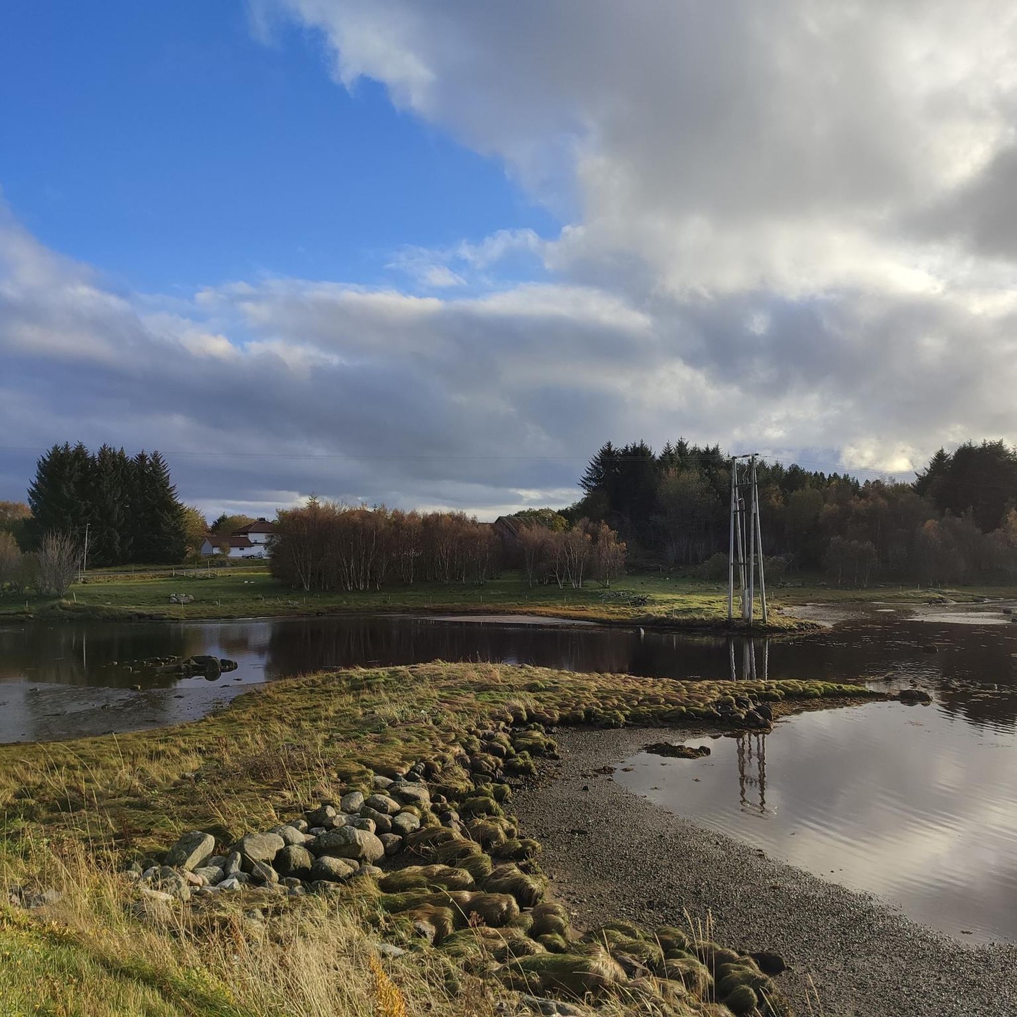
Road cycling routes in Gule- / Stavikmyrane Naturreservat traverse a distinctive coastal mire landscape in Hustadvika municipality, Norway. This region is characterized by extensive mires, including blanket bogs and raised bogs, interspersed with drier ridges of solid ground. Features like Gulevatnet lake and the landmark Myrsteinen add visual interest to the open scenery. The terrain generally offers varied elevation gains, suitable for different road cycling abilities.
Best road cycling routes in Gule- / Stavikmyrane Naturreservat
- The most popular road cycling…
Last updated: July 10, 2026
12
riders
43.5km
01:46
190m
190m
Easy road ride. Great for any fitness level. Mostly well-paved surfaces and easy to ride.
46
riders
70.3km
02:46
260m
260m
Moderate road ride. Good fitness required. Some segments of this route may be unpaved and difficult to ride.

Sign up for free
32
riders
33.7km
01:18
110m
110m
Moderate road ride. Great for any fitness level. Some segments of this route may be unpaved and difficult to ride.
Our route recommendations are based on thousands of hikes, rides, and runs completed by other people on komoot.
Start today with a free account
Your next adventure awaits.
Login or Signup
Popular around Gule- / Stavikmyrane Naturreservat
Tips from the Community

There is least traffic early in the morning or late in the evening😉
0
0


From here, you can enjoy the stunning views of the archipelago coast that is so typically Norwegian.
1
0

The Atlantic Road (Norwegian: Atlanterhavsvegen) is a section of the Norwegian National Highway 64 in the county of Møre og Romsdal between Molde and Kristiansund. The Atlantic Road covers an 8,274-meter-long section between Vevang in the municipality of Hustadvika and Kårvåg, an island in the municipality of Averøy. With its eight bridges crossing several small islands, the road, which is part of the Norwegian Scenic Routes, is a tourist attraction. Because the Atlantic Road lies directly at the mouth of a fjord, strong currents occur between the individual small islands over which the Atlantic Road passes during changing tides. Therefore, all fishing spots and viewing platforms are secured with barriers to prevent accidents.
3
0

Very beautiful evening atmosphere by the sea.
0
0

Diagonally opposite, on the other side of the road, is a memorial with an information board for more information.
0
0

Atlanterhavsvegen - the Atlantic Road - is a visual delight as it curves elegantly from islet to islet over its seven bridges. Nature and modern engineering meet and create this highly unique driving experience. The trip takes you from the fertile cultural landscape of the coast across moorland to bare crags along the weather-beaten, open bay of Hustadvika. Take time to watch the sun disappearing below the horizon from here. Atlanterhavsvegen has been described as the world’s most beautiful drive.
1
1

Wild camping spot on the beach. No WC etc. available. Good meadow for a tent. Access by car / camper is difficult or not possible. Is close to the nature reserve, so pay attention to the regulations!
0
0
Frequently Asked Questions
How many road cycling routes are available in Gule- / Stavikmyrane Naturreservat?
There are 5 distinct road cycling routes featured in komoot for Gule- / Stavikmyrane Naturreservat. These routes offer a range of distances and elevation gains suitable for various fitness levels.
What kind of terrain and difficulty can I expect on road cycling routes in Gule- / Stavikmyrane Naturreservat?
The region features a unique coastal mire landscape, with varied topography including drier ridges. Routes range from moderate difficulty, such as the Bud Old Harbor – Coastal Path Near Kristiansund loop from Bud with 863 feet (263 meters) of elevation gain, to others with up to 1153 feet (351 meters) of ascent, like the Kjekså loop from Hauglia.
Are there any family-friendly road cycling routes in Gule- / Stavikmyrane Naturreservat?
While all routes require a certain level of fitness for road cycling, options like the Brattvåg Church and Cemetery – Bud Old Harbor loop from Bud are considered easier with a moderate elevation gain of 634 feet (193 meters) over 27 miles (43.5 km), making it a good choice for families with some cycling experience.
What are the typical durations for road cycling routes in this area?
Route durations vary depending on length and elevation. For example, the Brattvåg Church and Cemetery – Bud Old Harbor loop from Bud typically takes about 1 hour 46 minutes, while longer routes like the Bud Old Harbor – Coastal Path Near Kristiansund loop from Bud can take around 2 hours 45 minutes.
What kind of scenery and landmarks can I expect to see while road cycling in Gule- / Stavikmyrane Naturreservat?
Cyclists can enjoy the distinctive open and often dramatic scenery of the coastal mire landscape, including extensive blanket bogs and raised bogs. Features like Gulevatnet lake and the landmark Myrsteinen add visual interest. The coastal influence means you may also encounter views towards the sea.
Are there any circular road cycling routes available?
Yes, all the featured road cycling routes in Gule- / Stavikmyrane Naturreservat are designed as loops, allowing you to start and finish at the same point. Examples include the Kjekså loop from Hauglia and the Coastal Path Near Kristiansund loop from Farstad.
What is the best time of year for road cycling in Gule- / Stavikmyrane Naturreservat?
Given its coastal location and mire landscape, the warmer, drier months from late spring to early autumn are generally best for road cycling. This period offers more pleasant weather conditions and allows for better enjoyment of the open scenery and birdlife.
What are the parking options for road cyclists in the area?
While specific parking areas are not detailed for each route, many routes start from towns like Bud and Farstad, where public parking facilities are typically available. It's advisable to check local parking options in these starting points before your ride.
What do other road cyclists enjoy most about road cycling in Gule- / Stavikmyrane Naturreservat?
Road cyclists often praise the unique natural surroundings and the tranquility of the coastal-influenced mire landscape. The varied topography and open scenery provide a distinct experience, with many appreciating the opportunity to cycle through such a preserved natural environment.
Can I expect to see any wildlife while road cycling in Gule- / Stavikmyrane Naturreservat?
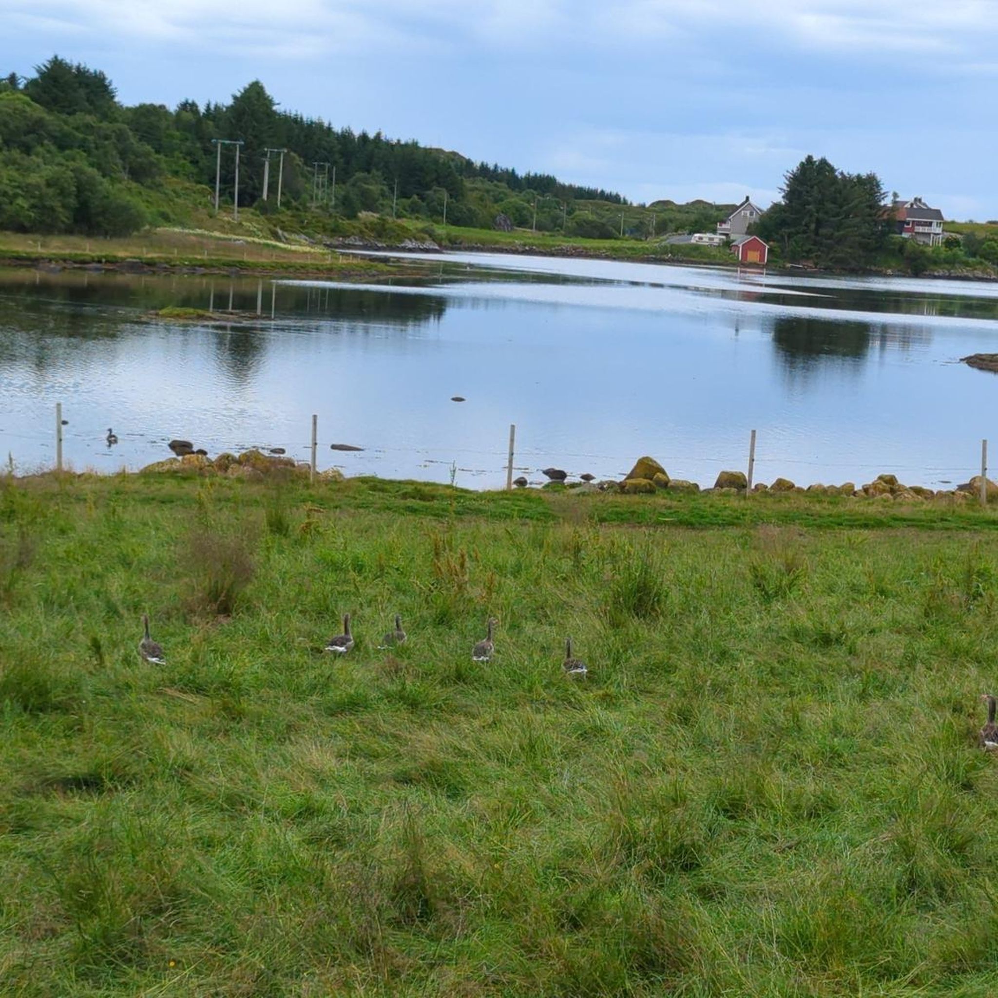
The mires are an important breeding and resting ground for waterfowl, particularly in the Stavik river system. Cyclists might have the opportunity to observe various bird species, especially during migration periods, adding to the natural experience.
Are there any amenities like cafes or accommodation near the road cycling routes?
The routes often start or pass through towns like Bud and Farstad. These communities typically offer basic amenities, including cafes, restaurants, and accommodation options, which can be convenient for pre- or post-ride refreshments and stays.
Most popular routes in Gule- / Stavikmyrane Naturreservat

Get inspired with the komoot mobile app


Explore more
Browse the best Road cycling routes in other regions.
