The best road cycling routes in Bälingeberget
4.0
(3)
41
riders
5
rides
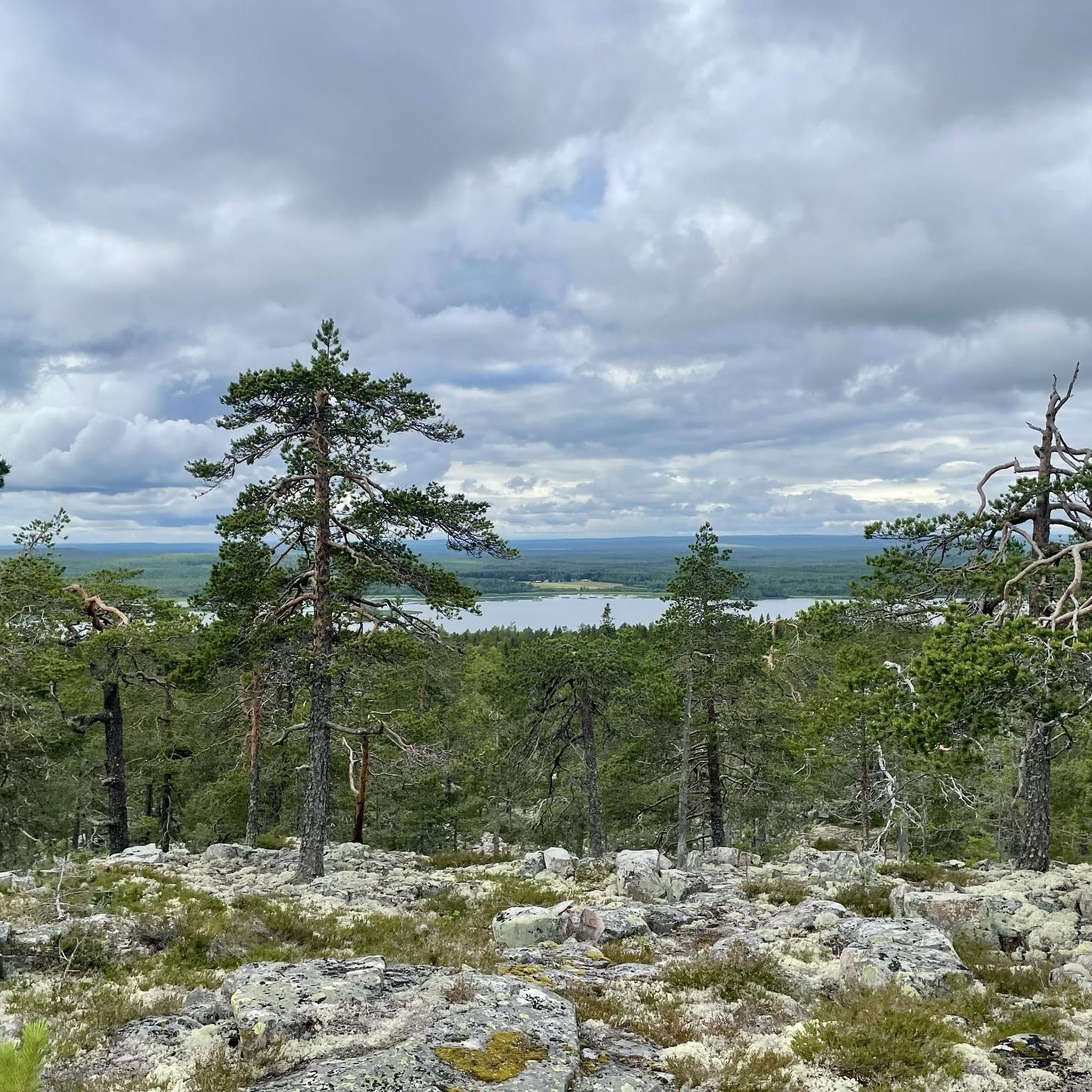
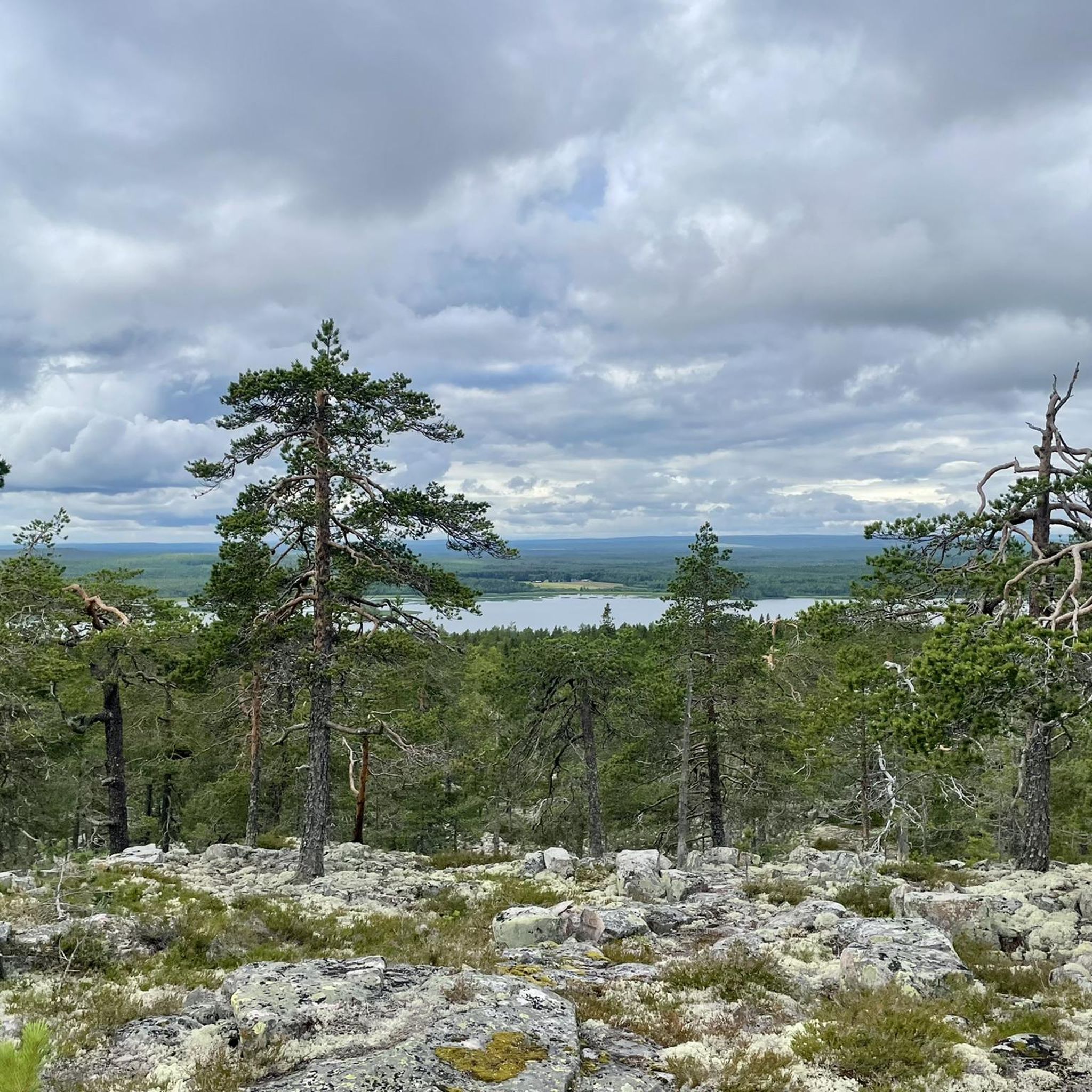
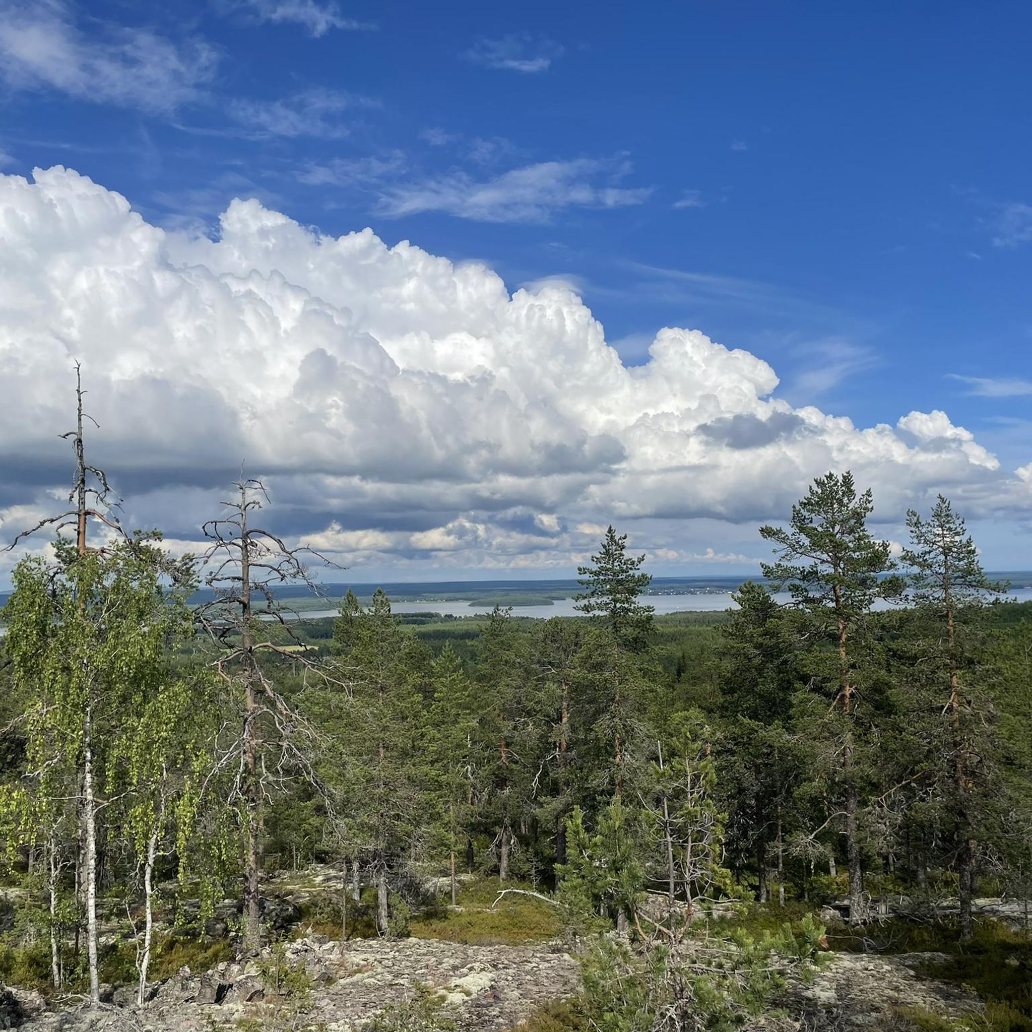
Road cycling in Bälingeberget offers routes through a landscape shaped by its geological past, featuring varied terrain near the Lule River. The area is characterized by accessible roads that traverse idyllic countryside and provide scenic views. Cyclists can experience relatively flat sections along the river and gentle climbs towards the mountain, which stands at 139 meters above sea level. This region provides a blend of natural beauty and well-maintained roads suitable for road bikes.
Best road cycling routes in Bälingeberget
…Last updated: June 27, 2026
4.0
(1)
15
riders
62.2km
02:37
290m
290m
Moderate road ride. Good fitness required. Some segments of this route may be unpaved and difficult to ride.
7
riders
26.3km
01:08
90m
90m
Moderate road ride. Great for any fitness level. Some segments of this route may be unpaved and difficult to ride.

Sign up for free
4.0
(1)
6
riders
20.0km
00:47
60m
60m
Easy road ride. Great for any fitness level. Mostly well-paved surfaces and easy to ride.
4.0
(1)
6
riders
55.1km
02:17
270m
270m
Moderate road ride. Good fitness required. Some segments of this route may be unpaved and difficult to ride.
7
riders
29.0km
01:13
90m
90m
Moderate road ride. Great for any fitness level. Some segments of this route may be unpaved and difficult to ride.
Our route recommendations are based on thousands of hikes, rides, and runs completed by other people on komoot.
Start today with a free account
Your next adventure awaits.
Login or Signup
Popular around Bälingeberget
Tips from the Community

There are around 400 wooden houses in Gammelstad's church town. Most of them are painted Falun red, some are not painted. The houses are grouped around a medieval stone church from 1492, the Nederluleå Kyrka (“Lower Luleå Church”). It is actually a village. But it is still called a church town.
0
0

A very impressive experience.
1
0

Beautiful church town with a lot of history. Be sure to watch and enjoy, preferably early in the morning!
1
0

Be sure to bring plenty of time. Worth it!!
1
0

"The church town of Gammelstad was declared a World Heritage Site by UNESCO on December 7, 1996. It is a well-preserved example of traditional northern Scandinavian church towns. There were once 71 of these. Gammelstad's church town, with 408 houses, is the largest of Sweden's 16 church towns still in existence . The region was an important hub for trade and markets as early as the 14th century. The Nederluleå Church was the center for a parish that stretched from the coast to Norway. Gammelstad is the "old Luleå". As the country rose more and more from the sea, a new port closer to the water had to be founded. This is where today's Luleå came from. Today Gammelstads-Kyrkstad is no longer just a church town where people live on the holidays. There are also permanent residents. The town is also a popular visitor region. Many old buildings have been preserved. "
5
0

Gamelstad is a historic place that is well preserved and even partially inhabited. I had some bad luck with the weather (continuous rain), so that I only drove slowly with the bike, but that was very impressive! The many small houses and the small streets, really nice! And certainly much nicer if the sun had shone;)
1
0

Everything here is so alive - insights through windows, in an apartment you can even go in, then the view on and in the imposing stone church from the 13th century. This UNESCO World Heritage Site is definitely worth seeing.
3
0
Frequently Asked Questions
What kind of terrain can I expect when road cycling in Bälingeberget?
Road cycling in Bälingeberget offers a varied landscape, primarily featuring well-maintained roads with mostly paved surfaces. You'll find relatively flat sections along the Lule River and gentle climbs as you approach Bälingeberget itself. The area's geological history, shaped by melting ice caps, has left distinctive features, though the cycling routes focus on accessible roads rather than the shingle fields at the mountain's summit.
Are there road cycling routes suitable for beginners or families in Bälingeberget?
Yes, Bälingeberget offers routes suitable for various skill levels, including easy options perfect for beginners or families. For instance, the Gammelstad Church Town loop from Stadsön is an easy 12.3-mile (19.8 km) path, providing a shorter and more accessible ride through the area.
What are some notable landmarks or viewpoints I can see along the road cycling routes?
While cycling, you'll experience the scenic Lule River landscape. The routes often connect significant landmarks such as the Norrbottens Railway Museum and Gammelstad Church Town. From the summit of Bälingeberget, which can be incorporated into a route as a destination (though the final ascent is typically on footpaths), you're treated to excellent panoramic views of the Lule River landscape. The mountain itself is a nature reserve with very old pine trees and unique shingle fields.
What is the best time of year for road cycling in Bälingeberget?
The best time for road cycling in Bälingeberget is generally during the warmer months when roads are clear of snow and ice. The region offers a pleasant experience from spring through autumn, allowing cyclists to enjoy the natural beauty and varied terrain without winter conditions. Always check local weather forecasts before heading out.
Are there any loop road cycling trails in Bälingeberget?
Yes, many of the road cycling routes in Bälingeberget are designed as loops, offering convenient starting and ending points. Examples include the Selets Bruk loop from Sunderby sjukhus, a 34.3-mile (55.2 km) route, and the Rest Area loop from Gammelstad, which is 16.3 miles (26.2 km).
Where can I find parking for road cycling near Bälingeberget?
Bälingeberget is located about 15 km west of Luleå town center and is easily accessible by road. Routes often start from locations like Sunderby sjukhus, Stadsön, Gammelstad, Norrsidan, or Storheden, which typically have parking facilities available for visitors. Specific parking details for each starting point can often be found on the individual route pages or local visitor information.
Are there cafes or places to stop for refreshments along the road cycling routes?
The road cycling routes in the Bälingeberget area often pass through or near communities and significant landmarks like Gammelstad Church Town. These areas are likely to offer opportunities for refreshments, including cafes or small shops. Planning your route in advance can help identify specific stops along your chosen path.
What kind of wildlife might I encounter while road cycling in Bälingeberget?
The nature reserve around Bälingeberget is home to diverse wildlife. While cycling on the roads, you might spot common forest animals like Squirrels and Hares. The forest also supports various birds, including Capercaillie, Black Grouse, and Hazel Grouse. Maintaining a respectful distance and observing from afar is always recommended.
How many road cycling routes are available in Bälingeberget on komoot?
There are 5 road cycling routes available in Bälingeberget on komoot, ranging from easy to moderate difficulty. These routes have been explored by over 30 road cyclists, showcasing the region's varied terrain and scenic beauty.
What is a popular moderate road cycling route in the Bälingeberget area?
A popular moderate route is the Selets Bruk loop from Norrsidan. This route covers 34.2 miles (55.1 km) and offers extensive riding through the local countryside with moderate elevation changes, typically taking around 2 hours 17 minutes to complete.
Can I reach Bälingeberget by public transport for road cycling?
Bälingeberget is located near Luleå, and the surrounding road network is accessible. While specific public transport options directly to trailheads might vary, Luleå itself is well-served. Cyclists often start their routes from areas like Bergnäset and Gäddvik near Luleå, or from Boden via Unbyn and Södra Sunderbyn, which may have public transport connections to get closer to the starting points.
What makes the road cycling experience in Bälingeberget unique?
The road cycling experience in Bälingeberget is unique due to its blend of geological history and natural beauty. You'll cycle through a landscape shaped by ancient ice caps, with routes offering scenic views of the Lule River and idyllic countryside. The accessibility from Luleå, combined with well-maintained roads and varied terrain from flat river sections to gentle climbs, provides a rewarding experience for cyclists.

Get inspired with the komoot mobile app


Explore more
Browse the best Road cycling routes in other regions.
