The best running trails in Kirkeneshalvøya Dyrelivsfredning
5.0
(1)
63
runners
10
runs
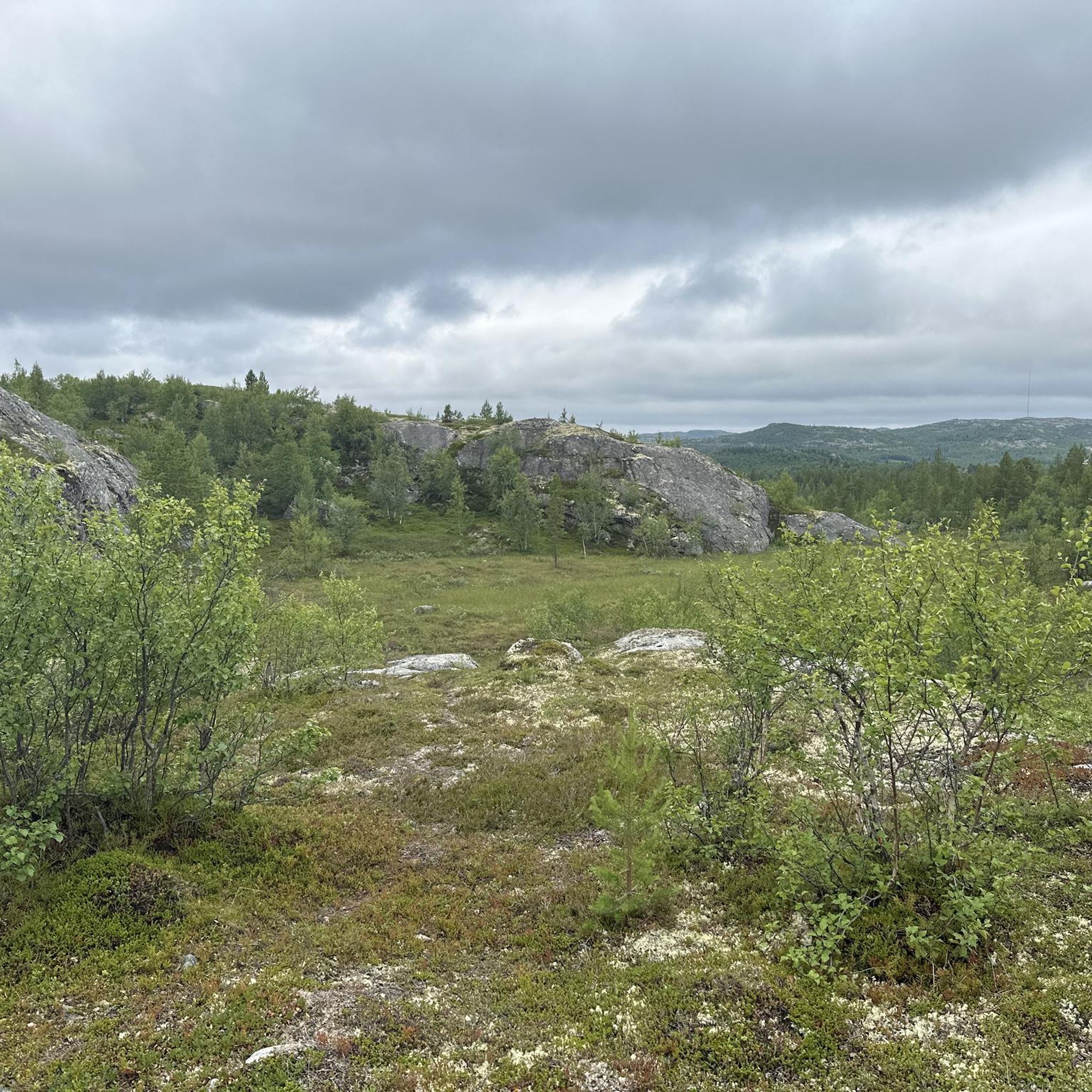
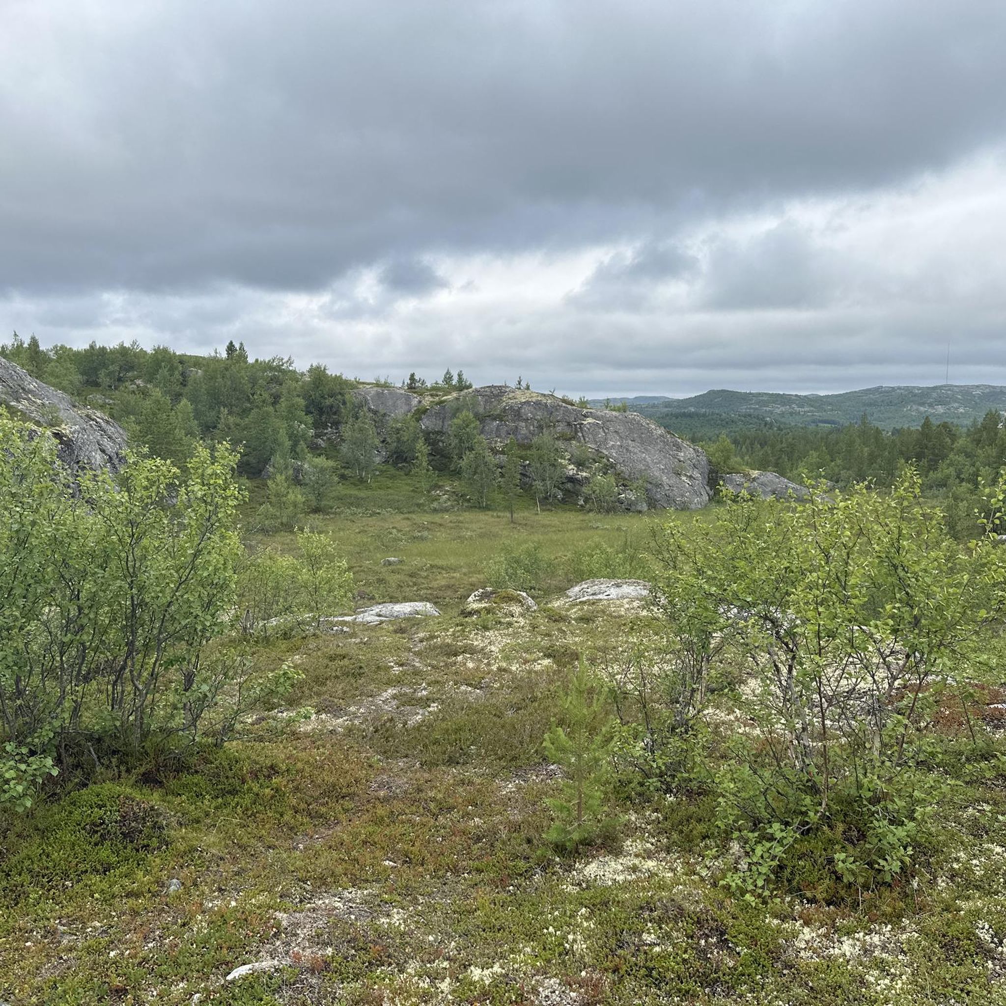
Jogging routes in Kirkeneshalvøya Dyrelivsfredning offer a diverse landscape shaped by the Ice Age, featuring rugged coastlines along the Barents Sea and varied terrain. The region includes primeval forests and extensive wetlands, with fells generally below 200 meters providing manageable elevation changes. Running here provides views of Lake Prestevatn and an arctic backdrop.
Best jogging routes in Kirkeneshalvøya Dyrelivsfredning
- The most popular jogging route is Running loop from Bjørnevatn, a 4.5 miles (7.2 km) trail that takes about 47…
Last updated: June 26, 2026
8
runners
7.17km
00:47
50m
50m
Moderate run. Good fitness required. Mostly paved surfaces. Suitable for all skill levels.
6
runners
6.34km
00:41
90m
90m
Moderate run. Good fitness required. Mostly paved surfaces. Suitable for all skill levels.

Sign up for free
6
runners
9.72km
01:04
100m
100m
Moderate run. Good fitness required. Mostly paved surfaces. Suitable for all skill levels.
5.0
(1)
4
runners
13.1km
01:32
250m
250m
Hard run. Good fitness required. Sure-footedness, sturdy shoes and alpine experience required.
11
runners
9.06km
01:00
100m
110m
Moderate run. Good fitness required. Mostly paved surfaces. Suitable for all skill levels.
Get access to more routes and recommendations from other explorers.
Sign up for free
Already have an account?
Our route recommendations are based on thousands of hikes, rides, and runs completed by other people on komoot.
Start today with a free account
Your next adventure awaits.
Login or Signup
Popular around Kirkeneshalvøya Dyrelivsfredning
Tips from the Community

It's a great place for hiking.
0
0

A peaceful gravel path with a nice view of the lake and the bridge. Suitable for all bike types.
0
0

The majestic landscape of the the Kirkenes Peninsula – perfect viewpoint to just take it all in.
0
0

This very beautiful hiking area is located above Kirkenes. It is also easily accessible on foot.
1
0

Since the city itself doesn't offer any major sights, the view from up here is certainly a highlight and should definitely be visited.
1
1

nice hiking area just above Kirkenes
1
1
Frequently Asked Questions
What types of landscapes can I expect to see while running in Kirkeneshalvøya Dyrelivsfredning?
The region offers a diverse landscape shaped by the Ice Age. You'll encounter rugged coastlines along the Barents Sea, primeval forests, extensive wetlands within the Pasvik Valley, and fells with elevations generally below 200 meters. Many routes also provide views of Lake Prestevatn, offering a unique arctic backdrop.
Are there running routes suitable for beginners in Kirkeneshalvøya Dyrelivsfredning?
Yes, Kirkeneshalvøya Dyrelivsfredning has routes suitable for various fitness levels. There are easy paths, often up to 5 kilometers with around 100 meters of elevation gain, perfect for beginners or those looking for a relaxed run. The guide lists 2 easy routes among its total of 11 running trails.
Can I find challenging running trails in the area?
Absolutely. For more experienced runners, Kirkeneshalvøya Dyrelivsfredning offers more challenging options that require good or very good fitness, featuring longer distances and greater elevation changes. For example, the Sør-Varanger Town Hall loop from Kirkenes is a difficult 13.1 km route with over 250 meters of elevation gain.
What kind of attractions or points of interest can I see along the running routes?
Many running routes integrate cultural and historical attractions. You can visit sites like the Andersgrotta World War II Bomb Shelter, the Soviet Liberation Memorial in Kirkenes, or enjoy scenic viewpoints such as the View of the Lake Prestevatn. The Kirkenes Peninsula Nature Reserve itself is a great place to explore.
Are there any circular running routes available?
Yes, many of the running routes in Kirkeneshalvøya Dyrelivsfredning are circular, allowing you to start and end at the same point. Examples include the popular Tredjevatn loop from Sør-Varanger museum, which is a moderate 6.3 km path, or the Ekskjæringa loop from Sandnes Alpinsenter, a 9.7 km trail through varied terrain.
What do other runners say about the trails in Kirkeneshalvøya Dyrelivsfredning?
The running routes in Kirkeneshalvøya Dyrelivsfredning are highly rated by the komoot community, with an average score of 5.0 stars. Over 60 runners have used komoot to explore the varied terrain, often praising the unique arctic scenery and diverse landscapes.
Are there any running routes that offer views of Kirkenes town?
Yes, some routes provide excellent views of Kirkenes town and its surroundings. The 'Kirkenes Town Square – Kirkenes Church loop' is an easy 4.9 km path that offers views of Kirkenes town and its church, blending urban and natural scenery.
What is the typical elevation gain on running routes in this region?
The fells in Kirkeneshalvøya Dyrelivsfredning generally remain below 200 meters, making for manageable climbs and descents. For example, the Running loop from Bjørnevatn has an elevation gain of about 51 meters, while more difficult routes like the View of the Lake Prestevatn – Scenic trail section loop from Kirkenes can have around 170 meters of elevation gain.
Are there any specific routes that are popular among local runners?
Local runners favor several routes. The Running loop from Bjørnevatn is a popular 7.2 km moderate trail. Another top favorite is the Tredjevatn loop from Sør-Varanger museum, a 6.3 km path offering views of the natural environment.
What kind of surfaces can I expect on the running trails?
The area offers a variety of trail surfaces. Many routes feature mostly paved surfaces, making them accessible for joggers. However, given the varied terrain, including primeval forests and fells, you can also expect natural paths and trails.
How many running routes are available in Kirkeneshalvøya Dyrelivsfredning?
There are 11 running routes documented in Kirkeneshalvøya Dyrelivsfredning, offering a range of distances and difficulty levels for joggers and runners.
Most popular routes in Kirkeneshalvøya Dyrelivsfredning
Most popular attractions in Kirkeneshalvøya Dyrelivsfredning

Get inspired with the komoot mobile app


Explore more
Browse the best Running Trails & Routes in other regions.
