The best walks and hikes in Canning River Regional Park
4.8
(111)
2,156
hikers
43
hikes
Hiking in Canning River Regional Park offers diverse landscapes along the Canning River, transitioning from estuarine to freshwater environments. The terrain features salt marshes, billabongs, and woodlands, with minimal elevation changes. This urban park provides a network of trails suitable for exploring its varied ecosystems and natural features.
Best hiking trails in Canning River Regional Park
- The most popular hiking route is Canning River loop from Canning River Regional Park, a 2.7 miles (4.3 km) trail that takes 1…
Last updated: July 4, 2026
3.0
(1)
32
hikers
4.28km
01:05
10m
10m
Easy hike. Great for any fitness level. Easily-accessible paths. Suitable for all skill levels.
4
hikers
7.44km
01:53
20m
20m
Easy hike. Great for any fitness level. Easily-accessible paths. Suitable for all skill levels.

Sign up for free
5
hikers
8.74km
02:13
20m
20m
Moderate hike. Good fitness required. Easily-accessible paths. Suitable for all skill levels.
4.0
(4)
75
hikers
6.83km
01:43
10m
10m
Easy hike. Great for any fitness level. Easily-accessible paths. Suitable for all skill levels.
5.0
(2)
9
hikers
Moderate hike. Good fitness required. Easily-accessible paths. Suitable for all skill levels.
Get access to more routes and recommendations from other explorers.
Sign up for free
Already have an account?
Our route recommendations are based on thousands of hikes, rides, and runs completed by other people on komoot.
Start today with a free account
Your next adventure awaits.
Login or Signup

Tips from the Community

The Shelley Jetty is a wooden jetty in Shelley Beach Park that has a ladder at the end for swimmers or boaters. It has peaceful views and is just across from some public restrooms.
0
0
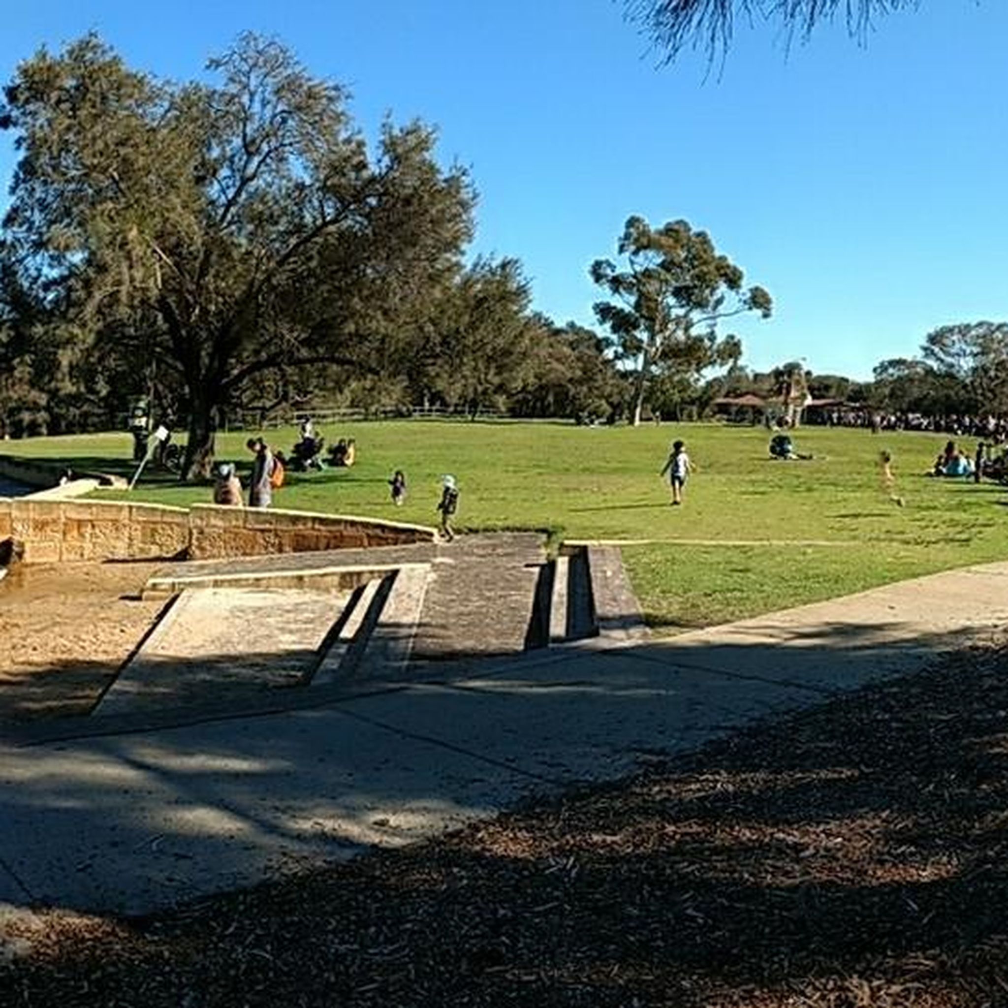
This large conserved greenspace is made up of forests, marshlands and a park, spanning almost 100 hectares. Fern Park sitting on its northern end with amenities like shaded picnic areas, BBQs, restrooms, and the Lo Quay River Cafe.
0
0

Canning Bridge is a major road bridge that carries Canning Highway across the Canning River between the suburbs of Applecross and Como. Originally built in the 1930s, this key bridge has been rebuilt several times over the years. Under the bridge, various walking and cycling paths wind along the river, connecting several of the surrounding foreshore parklands and offering plenty of options for exploring this beautiful area.
0
0
Kwinana Freeway Shared Path is a major walking and cycling route that runs alongside the Kwinana Freeway through Perth’s southern suburbs. Part of Perth’s Principal Shared Path (PSP) network, the sealed trail provides a direct corridor used by both recreational users and commuters. This quiet section offers a beautiful view of the Canning River and is ideal for connecting to several river foreshore routes and nearby suburbs.
0
0
Mount Henry Bridge is a major road bridge that crosses the Canning River as part of Kwinana Freeway. Opened in 1986, the bridge was one of the longest incrementally launched bridges in the world at the time of its construction. Shared walking and cycling paths run along the river under and adjacent to the bridge, connecting several sections of the Canning River foreshore trails.
0
0
The Canning River is a major river in Perth that flows west from the Darling Range to join the Swan River near Applecross. Its lower reaches are lined with parklands, wetlands, and shared walking and cycling paths that form part of the Swan and Canning river foreshore network. The river is a popular place for walking, cycling, kayaking, birdwatching, and enjoying the picturesque riverside scenery.
0
0
The Esplanade is a riverside road and shared path that runs along the Canning River foreshore in the suburb of Mount Pleasant. The route follows a flat stretch of riverfront with beautiful views across the water and provides access to nearby parks and residential areas. It forms part of the walking and cycling route used in loops around this section of the Canning River, and is a fantastic place to see the sunset if you're lucky enough to be here in the evening.
0
0

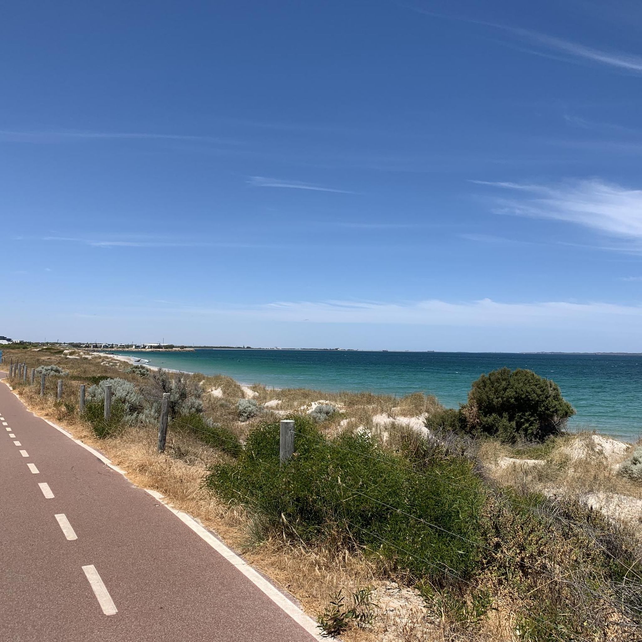
Great walking / cycling path along the edge of the water around Rossmoyne. Lots of scenic nature on one side with beautiful big mansions to look at on the other side.
0
0
Frequently Asked Questions
How many hiking trails are available in Canning River Regional Park?
Canning River Regional Park offers over 40 hiking routes, catering to various preferences. Most of these, around 33, are classified as easy, with 10 moderate options for those seeking a bit more challenge.
What kind of terrain and natural features can I expect to see while hiking?
The park features diverse landscapes, transitioning from estuarine to freshwater environments. You'll encounter salt marshes, billabongs, lush forests, and woodlands. The Canning River itself is a central feature, meandering through the park, offering serene views and opportunities to observe aquatic life. The terrain generally has minimal elevation changes, making for pleasant walks.
Are there any easy hikes suitable for families or beginners?
Yes, many trails are suitable for families and beginners. For instance, the Canning River loop from Canning River Regional Park is an easy 4.3 km route that follows the river. Another excellent option is the Butterflies, Birds and Bridges Loop Trail, which is 4 km and wheelchair-friendly, starting at Kent Street Weir.
Are dogs allowed on the trails in Canning River Regional Park?
While the park is a popular spot for outdoor activities, specific rules regarding dogs on trails can vary. It's generally recommended to keep dogs on a leash and check local signage for designated dog-friendly areas or restrictions within the regional park to ensure compliance and protect local wildlife.
Are there any circular routes available for hikers?
Yes, the park features several popular circular routes. The Wilson Lagoon – Canning River loop from Canning River Regional Park is an easy 7.5 km path, and the Canning River – Wilson Lagoon loop from Canning River Regional Park is a moderate 8.8 km trail. Both explore riverine and wetland environments, offering great bird-watching opportunities.
What kind of wildlife or bird-watching opportunities are there?
Canning River Regional Park is a haven for wildlife, especially birds. The diverse habitats, including wetlands and the river, attract a wide array of birdlife such as black swans, pelicans, cormorants, and ibis. The Butterflies, Birds and Bridges Loop Trail and the Wilson Wetlands are particularly good spots for bird-watching.
Are there any historical sites or interesting landmarks to explore along the trails?
Yes, the park has both natural and historical significance. The Kent Street Weir, built in 1927, is a notable landmark. The park is also recognized as Noongar country, holding rich Aboriginal history. Additionally, remnants of early European settlement, such as Woodloes Homestead, add a historical dimension to your visit.
Where can I park when visiting Canning River Regional Park?
The Kent Street Weir precinct is a primary access point and offers parking facilities. Given the park's popularity, especially on weekends, it's advisable to arrive early to secure a spot. Other access points along the park's perimeter may also offer parking, so check local maps for specific trailheads.
What is the best time of year to hike in Canning River Regional Park?
Perth generally experiences a Mediterranean climate. The cooler, drier months from autumn (March-May) through spring (September-November) are often ideal for hiking, offering comfortable temperatures. Summer can be very hot, so early morning or late afternoon hikes are recommended during this period.
Are there facilities like cafes or picnic areas in the park?
Yes, the Kent Street Weir precinct is well-equipped with amenities. You'll find a café there, as well as picnic areas perfect for a post-hike meal. Canoe launch points are also available for those interested in water activities.
What do other hikers enjoy most about Canning River Regional Park?
The trails in Canning River Regional Park are highly rated by the komoot community, with an average score of 4.7 stars from over 130 reviews. Hikers frequently praise the park's diverse landscapes, the tranquility of the river, and the excellent opportunities for bird-watching. The well-maintained paths and accessibility for various skill levels are also often highlighted.
How long do the hiking trails typically take to complete?
Trail durations vary depending on the route and your pace. For example, the easy Canning River loop from Canning River Regional Park (4.3 km) typically takes about 1 hour 5 minutes. Longer routes like the moderate Canning River – Wilson Lagoon loop from Canning River Regional Park (8.8 km) can take around 2 hours 14 minutes.
Most popular routes in Canning River Regional Park

Get inspired with the komoot mobile app


Explore more
Browse the best Hikes in other regions.
