The best walks and hikes in Briggs Regional Reserve
4.8
(29)
223
hikers
9
hikes
Hiking in Briggs Regional Reserve offers diverse landscapes within its approximately 840-hectare expanse, bordering State Forest and Narawntapu National Park. The region features varied terrain, from coastal areas and beaches to elevated summits and native shrublands. Hikers can explore paths that lead through natural park environments, providing opportunities for both scenic views and wildlife observation.
Best hiking trails in Briggs Regional Reserve
- The most popular hiking route is Copper Cove Beach loop from Badger Head, an 8.2 miles (13.2 km) trail that takes 3 hours 39 minutes to complete, offering coastal views.
- Another top favourite among local hikers is View from Archers Knob Summit loop from Bakers Beach, a moderate 5.0 miles (8.0 km) path. This route provides panoramic views from Archers Knob Summit.
- Local hikers also love the Springlawn Kangaroo Meadows – View from Archers Knob Summit loop from Hawley Beach, a 6.0 miles (9.6 km) trail leading through Springlawn Kangaroo Meadows and to summit viewpoints, often completed in about 2 hours 35 minutes.
- Hiking in Briggs Regional Reserve is defined by coastal paths, elevated summits, and native shrublands. The network offers options for different ability levels, including easy, moderate, and difficult trails.
- The routes in Briggs Regional Reserve are highly rated by the komoot community with an average score of 4.8 stars from more than 20 reviews. More than 180 hikers have used komoot to explore Briggs Regional Reserve's varied terrain.
Last updated: November 21, 2026
6
hikers
13.2km
03:39
230m
230m
Moderate hike. Good fitness required. Easily walkable paths.
4.0
(1)
6
hikers
18.8km
05:17
370m
370m
Hard hike. Very good fitness required. Easily walkable paths.

4.8
(15)
109
hikers
9.58km
02:34
110m
110m
Moderate hike. Good fitness required. Easily walkable paths.
5.0
(3)
41
hikers
7.99km
02:10
110m
110m
Moderate hike. Good fitness required. Easily walkable paths.
5.0
(7)
23
hikers
Moderate hike. Good fitness required. Easily walkable paths.
Get access to more routes and recommendations from other explorers.
Already have an account?
Our route recommendations are based on thousands of hikes, rides, and runs completed by other people on komoot.
Start today with a free account
Your next adventure awaits.
Popular around Briggs Regional Reserve
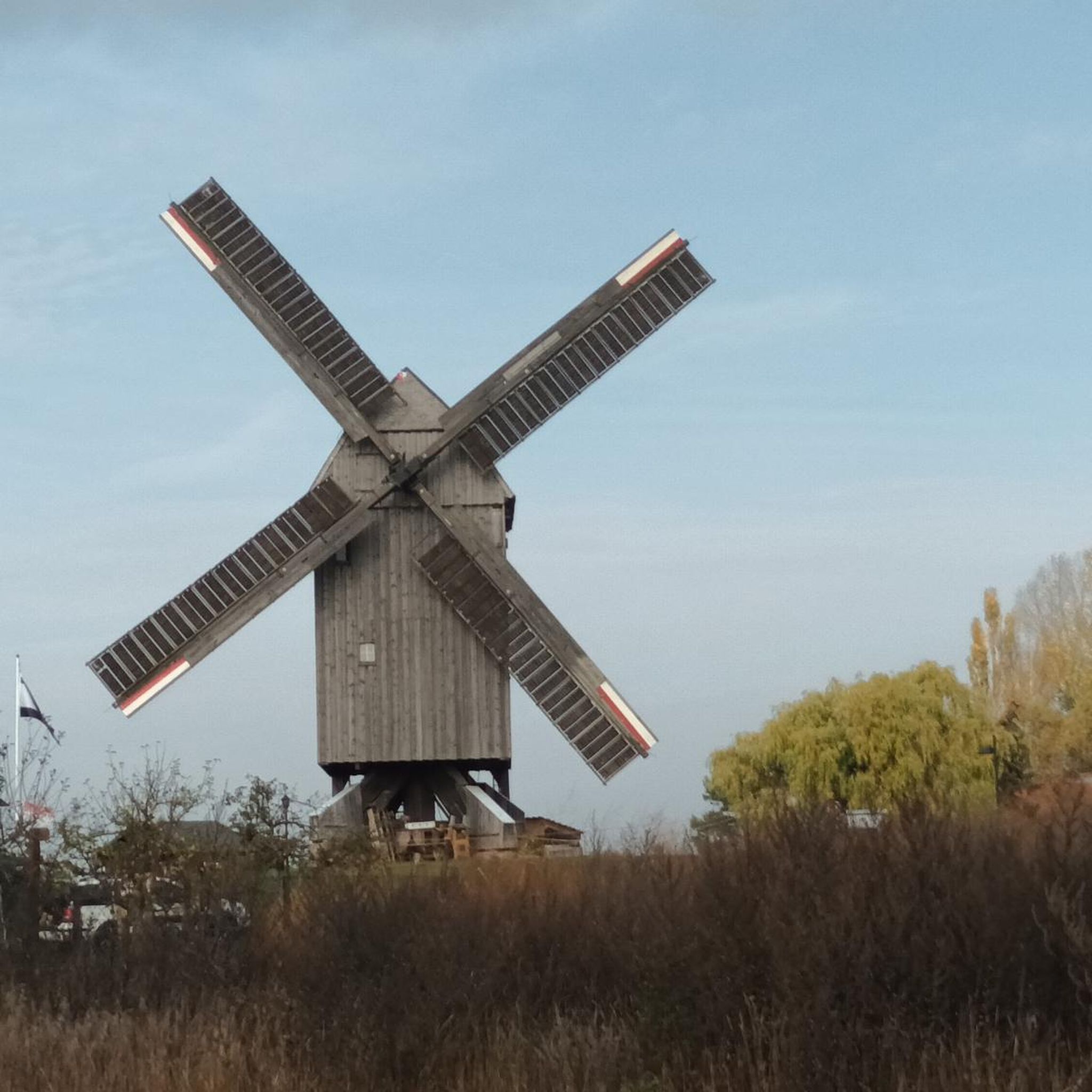
Tips from the Community

From the top of Archers Knob, you get a broad view over Bakers Beach, Springlawn and the surrounding coastline, with wetlands, grassland and sea all spread out below. At 114 metres, it’s not a huge summit, but the open outlook makes it feel much higher. Give yourself a few minutes at the top to take in the different landscapes before heading back down.
0
0
The bird hide sits quietly at the edge of Springlawn Lagoon, reached through paperbark swamp and banksia scrub. Settle in for a few minutes and scan the water for ducks, herons, swans, cormorants, coots, bitterns and grebes, depending on the season. The walk from the visitor centre is flat and easy, but keep an eye out for copperhead snakes basking near the track in warmer weather.
0
0
Bakers Beach stretches for nearly 7 kilometres along the northern edge of Narawntapu, with open sand, low dunes and Bass Strait running beside you. It’s a lovely place to extend the Archers Knob walk, especially when the tide is low and there’s plenty of firm sand underfoot. Check the tide and swell before setting off, as some sections become restricted at high water. Swimming is possible here, but the beach is unpatrolled.
0
0
The main parking area at Springlawn puts you right beside the Visitor Centre and the start of several walks, so it’s an easy place to get your bearings before heading out. Toilets, picnic tables and free barbecues are all close by, and the Visitor Centre has maps, park information and a small shop. It’s also where you can sort out park passes and check current track conditions.
0
0

Forester kangaroos gather here for grazing and access to water. Keep your distance to not disturb them.
0
0
Little shelter with views of the birdlife on the lake
0
0
Be quiet and you might spot pademelons, wallabies and many more animals in between the shrublands
0
0
Frequently Asked Questions
How many hiking trails are available in Briggs Regional Reserve?
Briggs Regional Reserve offers 9 distinct hiking trails. These include 3 easy routes, 5 moderate routes, and 1 difficult route, catering to various fitness levels.
What kind of landscapes can I expect to see while hiking in Briggs Regional Reserve?
Hikers in Briggs Regional Reserve will encounter diverse landscapes, ranging from scenic coastal paths and beaches to elevated summits offering panoramic views. The reserve also features native shrublands and natural park environments, bordering State Forest and Narawntapu National Park.
Are there any family-friendly hiking options in Briggs Regional Reserve?
Yes, Briggs Regional Reserve has 3 easy hiking trails suitable for families. These routes are generally shorter, taking up to 2 hours to complete with minimal elevation gain, making them accessible for all skill levels.
Can I bring my dog on the hiking trails in Briggs Regional Reserve?
The provided information does not specify whether dogs are permitted on all trails within Briggs Regional Reserve. It is advisable to check with the Tasmania Parks and Wildlife Service for current regulations regarding pets in the reserve and adjacent Narawntapu National Park. You can find general reserve listings on the Parks Tasmania website.
What are some notable natural features or viewpoints in the reserve?
A prominent feature is Archers Knob Summit, which offers panoramic views of the surrounding area. Coastal trails like the Copper Cove Beach loop also provide beautiful seaside vistas. Additionally, the Springlawn Kangaroo Meadows are known for wildlife spotting.
Are there opportunities for wildlife spotting in Briggs Regional Reserve?
Yes, the reserve and its surroundings are excellent for wildlife observation. Springlawn Kangaroo Meadows is a known spot for Forester kangaroos. You might also encounter pademelons and wallabies in the shrublands. A nearby bird hide in Narawntapu National Park offers views of diverse birdlife.
Are there any circular hiking routes in Briggs Regional Reserve?
Many of the trails in Briggs Regional Reserve are circular. Examples include the Copper Cove Beach loop from Badger Head, the View from Archers Knob Summit loop from Bakers Beach, and the Springlawn Kangaroo Meadows – View from Archers Knob Summit loop from Hawley Beach.
What is the best time of year to go hiking in Briggs Regional Reserve?
While specific seasonal recommendations are not provided, Tasmania generally offers good hiking conditions during spring (September-November) and autumn (March-May) with milder temperatures. Summer (December-February) can be warm, and winter (June-August) brings cooler weather, but trails remain accessible.
Is there public transport access to Briggs Regional Reserve trails?
The available information does not detail specific public transport options directly serving the trailheads within Briggs Regional Reserve. Access is typically by private vehicle, with parking available near popular starting points like George Town, Bakers Beach, or Hawley Beach.
What do other hikers enjoy the most about hiking in Briggs Regional Reserve?
The area is highly rated by the komoot community, with an average score of 4.8 stars from more than 20 reviews. Reviewers often praise the diverse terrain, from coastal paths to summit views, and the opportunities for wildlife observation.
What are the typical difficulty levels for trails in Briggs Regional Reserve?
Trails are categorized into three difficulty levels: Easy hikes are typically up to 2 hours with minimal elevation gain. Moderate hikes can take up to 5 hours with up to 3,000 ft of elevation gain, requiring good fitness. Difficult trails are longer than 5 hours or involve more than 3,000 ft of elevation gain, demanding very good fitness and sturdy shoes.
Most popular routes in Briggs Regional Reserve

Get inspired with the komoot mobile app


Explore more
Browse the best Hikes in other regions.
