The best road cycling routes in Eurobodalla National Park
4.5
(2)
121
riders
6
rides
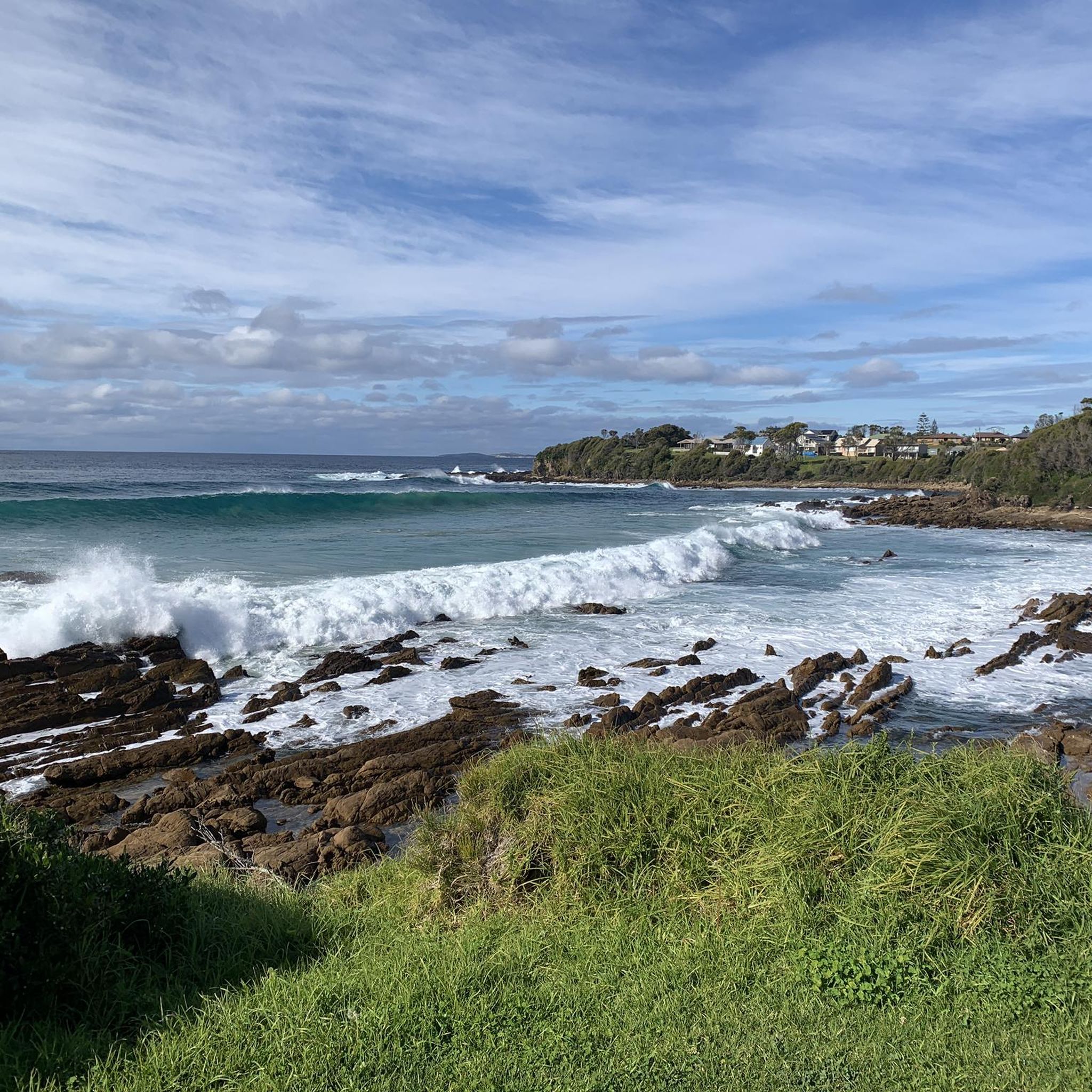
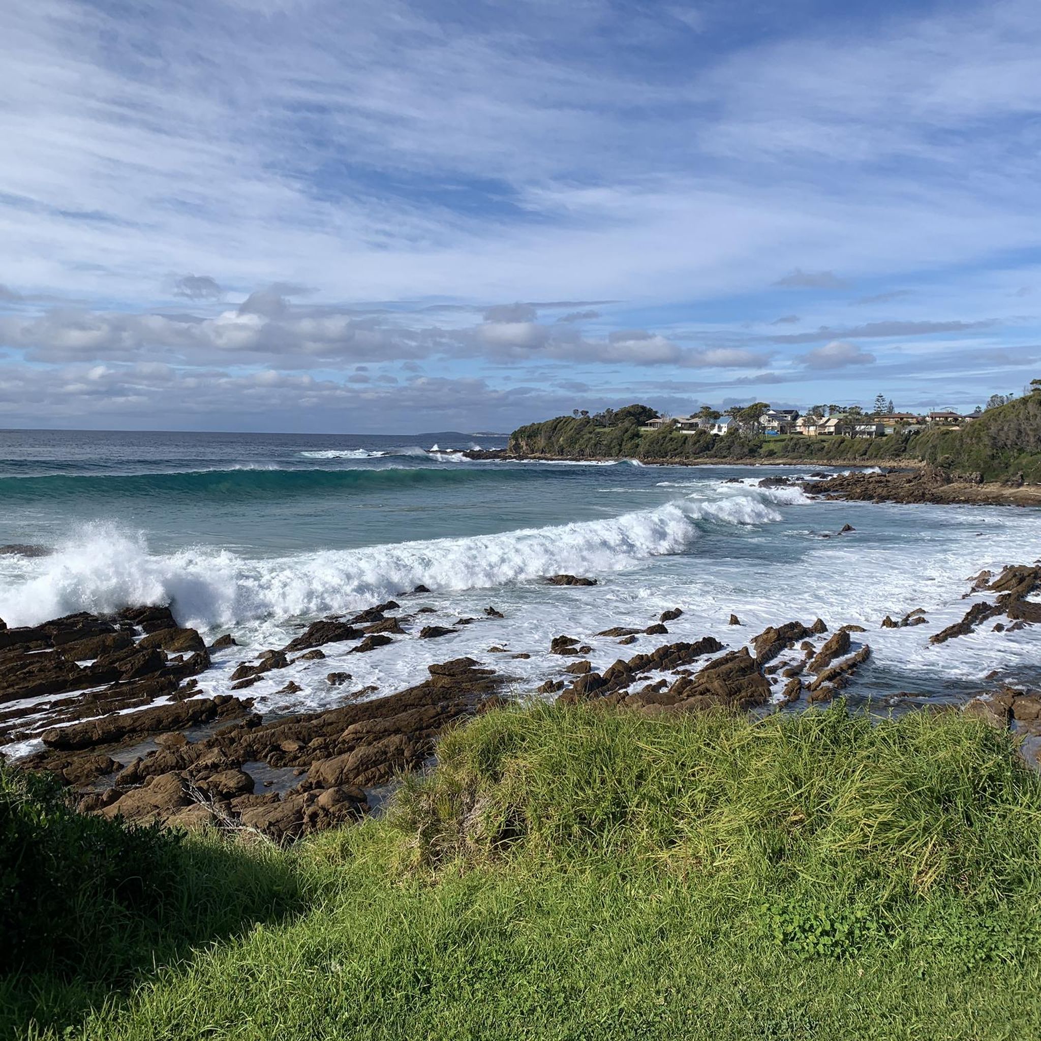
Road cycling routes in Eurobodalla National Park traverse the South Coast of New South Wales, characterized by a diverse landscape of coastal roads, river foreshores, and undulating terrain. The region features routes that follow the coastline, offering views of the Pacific Ocean, and paths that wind through national parks and state forests. Cyclists can expect a mix of sealed and unsealed surfaces, with routes passing through natural features and agricultural lands.
Best road cycling routes in Eurobodalla National Park
- The…
Last updated: July 2, 2026
30
riders
59.1km
02:25
250m
250m
Moderate road ride. Good fitness required. Some segments of this route may be unpaved and difficult to ride.
27
riders
74.4km
03:09
510m
510m
Moderate road ride. Good fitness required. Mostly well-paved surfaces and easy to ride.

Sign up for free
5.0
(1)
29
riders
21.9km
01:14
120m
120m
Easy road ride. Great for any fitness level. Mostly well-paved surfaces and easy to ride.
4.0
(1)
24
riders
41.4km
01:54
470m
470m
Moderate road ride. Good fitness required. Mostly well-paved surfaces and easy to ride.
9
riders
39.5km
01:46
390m
390m
Moderate road ride. Good fitness required. Mostly well-paved surfaces and easy to ride.
Our route recommendations are based on thousands of hikes, rides, and runs completed by other people on komoot.
Start today with a free account
Your next adventure awaits.
Login or Signup
Popular around Eurobodalla National Park

Tips from the Community

Short little climb off the main road up to the Dog Trap Road that offers a nice return descent along the Ridge Road with views over sunshine beach.
0
0

Frequently Asked Questions
What types of road cycling routes can I expect in Eurobodalla National Park?
The Eurobodalla region offers a diverse range of road cycling experiences. You'll find routes that hug the stunning coastline, providing ocean vistas and dramatic headlands, as well as paths that wind through river foreshores, agricultural lands, and native bushland within national parks and state forests. The terrain often features undulating sections, offering a good mix for various fitness levels.
Are there any easy or family-friendly road cycling routes available?
Yes, the region caters to all abilities. For an easier ride, consider the Joshs Beach – Yabbara Beach loop from Lewis Island, which is an easy 21.9 km route. The broader Eurobodalla area also features easy, family-friendly options like the Tuross Head Foreshore Ride, which is about 10-12 km along Coila Lake and the ocean, or the 16 km Moruya to South Head route along the Moruya River.
What is the best time of year for road cycling in Eurobodalla National Park?
The Eurobodalla region generally enjoys a mild climate, making it suitable for road cycling throughout much of the year. Spring and autumn often provide the most comfortable temperatures for longer rides, with less extreme heat than summer and milder conditions than winter. However, coastal routes can be enjoyable even in warmer months due to sea breezes.
Are there any circular road cycling routes in the park?
Yes, many of the road cycling routes in Eurobodalla National Park are designed as loops, allowing you to start and finish at the same point. Examples include the popular Tomakin Cove – Malua Bay Beach loop from Moruya Heads (74.4 km) and the Tomakin Cove loop from Moruya Heads (61.9 km). Another option is the Horseshoe Bay – Jerimbut Point North loop from Wallaga Lake (43.2 km).
What kind of surfaces can I expect on the road cycling routes?
While many routes feature sealed roads, particularly along coastal sections and within towns, some routes in the Eurobodalla region may incorporate a mix of sealed and unsealed surfaces. For instance, the Bodalla to Reedy Creek Road ride includes a 15 km gravel section between sealed ends. It's advisable to check route details if you prefer entirely sealed paths.
What are some notable natural features or attractions I might see while cycling?
The Eurobodalla region is rich in natural beauty. Cyclists can enjoy stunning ocean views, dramatic headlands, and pristine beaches along coastal routes. Inland, you might pass through coastal wetlands, native forests, and agricultural lands. Keep an eye out for local wildlife, including kangaroos, echidnas, and various bird species. During migration seasons, whales and dolphins can often be spotted from coastal vantage points.
Are there opportunities to see wildlife while road cycling?
Absolutely. The Eurobodalla region is a biodiversity hotspot. While cycling, you might encounter kangaroos, especially in open grassy areas or near beaches during early morning or late afternoon. The diverse landscapes also support echidnas, lyrebirds, and sea eagles. Along the coast, keep an eye out for dolphins, and during migration seasons (May-November), whales are a common sight.
What do other road cyclists say about the routes in Eurobodalla National Park?
The road cycling routes in Eurobodalla National Park are highly regarded by the komoot community, with an average score of 4.5 stars. Cyclists often praise the scenic coastal views, the variety of terrain, and the opportunity to explore diverse landscapes from ocean foreshores to national park bushland.
Are there any cafes or towns along the road cycling routes for refreshments?
Yes, many routes in the Eurobodalla region pass through or near charming coastal towns and villages where you can find cafes, pubs, and other amenities. For example, routes originating from Moruya Heads will give you access to Moruya's offerings, and coastal rides often connect various communities like Batemans Bay, Tuross Head, and Narooma, providing opportunities for refreshment stops.
How many road cycling routes are available in Eurobodalla National Park on komoot?
Komoot currently features 7 road cycling routes within Eurobodalla National Park, offering a range of distances and difficulty levels. These routes are popular among local cyclists, with over 100 users having explored the area using komoot.
Can I find routes with significant elevation gain for a more challenging ride?
Yes, the Eurobodalla region features undulating terrain that provides opportunities for challenging rides with notable elevation gain. For instance, the Tomakin Cove – Malua Bay Beach loop from Moruya Heads includes over 500 meters of elevation gain over its 74.4 km distance, offering a good workout for experienced riders.
Are there any specific routes that offer a mix of coastal and inland scenery?
Many routes in the Eurobodalla region naturally blend coastal and inland views. While specific komoot routes like the Tomakin Cove loop from Moruya Heads focus on coastal areas, the broader network includes rides that transition from ocean vistas to river foreshores and through agricultural lands or state forests, such as the Nelligen towards Benandra loop which traverses Benandarah State Forest.
Most popular routes in Eurobodalla National Park

Get inspired with the komoot mobile app


Explore more
Browse the best Road cycling routes in other regions.
