The best road cycling routes in Point Cook Coastal Park
4.7
(24)
914
riders
21
rides
Road cycling routes in Point Cook Coastal Park are characterized by flat terrain and coastal proximity, offering accessible paths for various skill levels. The region features open grasslands and views of the Port Phillip Bay coastline. Elevations are generally low, with routes traversing areas near Sanctuary Lakes and the Emu-foot Grassland. The landscape is primarily open, providing expansive views during rides.
Best road cycling routes in Point Cook Coastal Park
- The most popular road cycling route is Emu-foot Grassland loop…
Last updated: July 8, 2026
15
riders
15.0km
00:42
20m
20m
Easy road ride. Great for any fitness level. Mostly well-paved surfaces and easy to ride.
5.0
(1)
9
riders
36.3km
01:41
60m
60m
Easy road ride. Great for any fitness level. Mostly well-paved surfaces and easy to ride.

Sign up for free
4.7
(10)
450
riders
61.0km
02:46
110m
110m
Moderate road ride. Good fitness required. Mostly well-paved surfaces and easy to ride.
35
riders
73.6km
03:16
100m
100m
Moderate road ride. Good fitness required. Mostly well-paved surfaces and easy to ride.
5.0
(1)
22
riders
21.6km
00:59
30m
30m
Easy road ride. Great for any fitness level. Mostly well-paved surfaces and easy to ride.
Get access to more routes and recommendations from other explorers.
Sign up for free
Already have an account?
Our route recommendations are based on thousands of hikes, rides, and runs completed by other people on komoot.
Start today with a free account
Your next adventure awaits.
Login or Signup
Popular around Point Cook Coastal Park
Tips from the Community

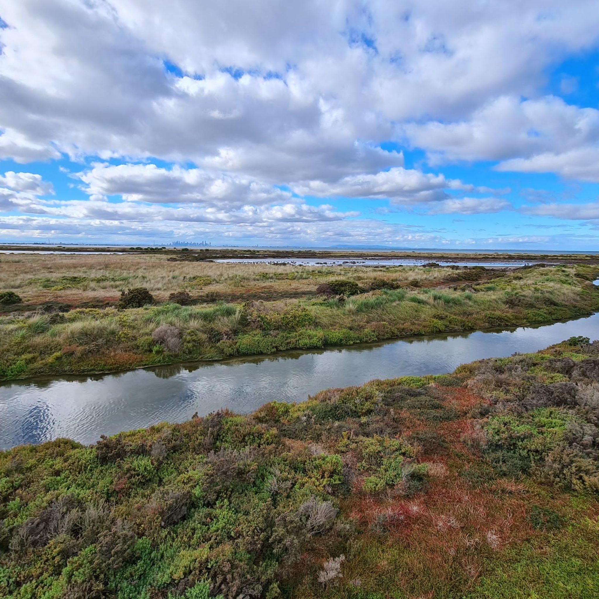
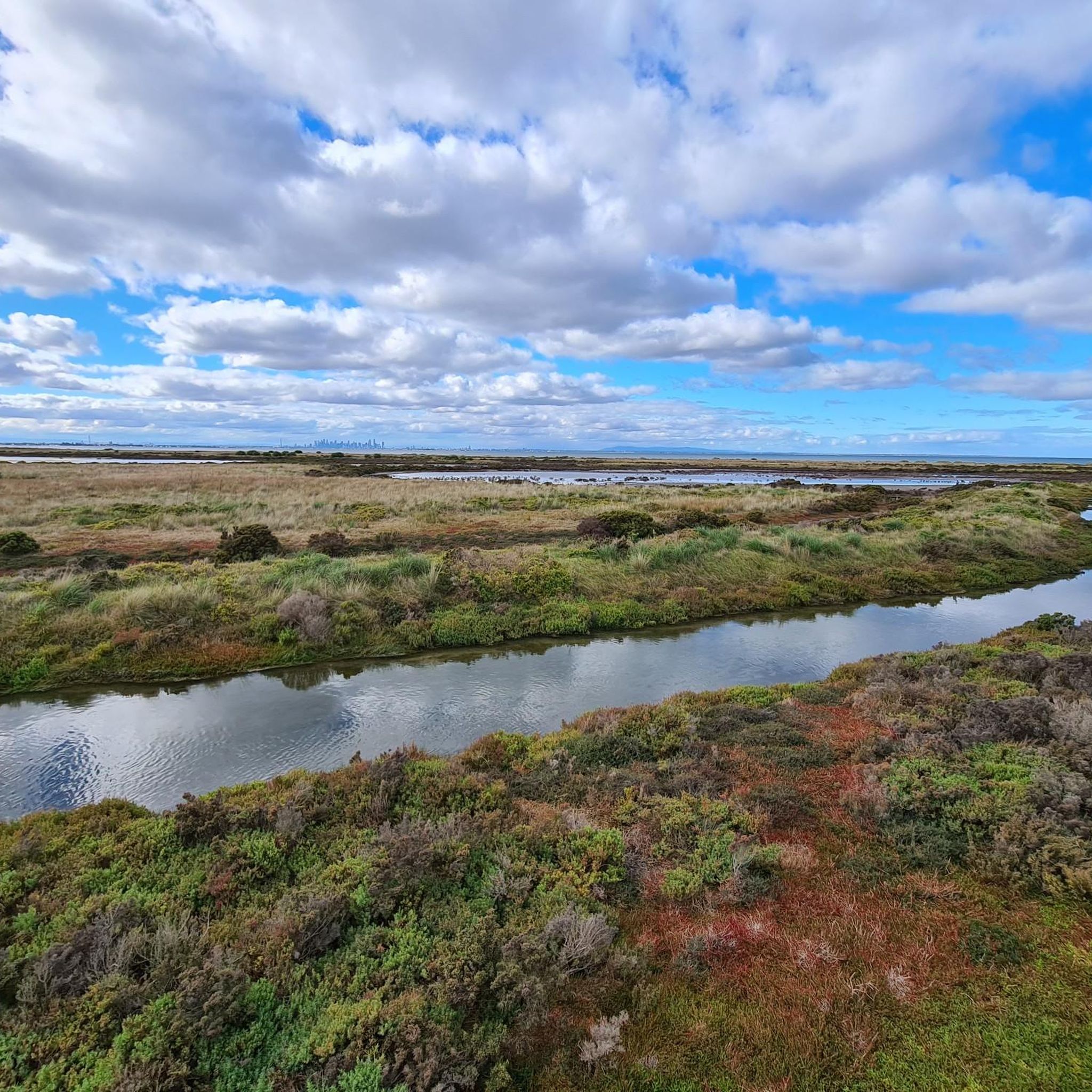
Truganina Park overlooks Port Phillip Bay and is known for the 100 Steps to Federation and the Time Beacon sculpture at its summit. There are shared walking and cycling paths that wind through open grasslands and wetlands, with panoramic views stretching over Cheetum Wetlands, across the bay toward Melbourne, and on a clear day, all the way to the You Yangs. The park also connects directly to the Hobsons Bay Coastal Trail via the Laverton Creek footbridge, making it a popular destination for walkers and cyclists.
0
0
This is a fantastic, long pedestrian and cycling bridge that carries the Hobsons Bay Coastal Trail across Laverton Creek, connecting Truganina Park with the Altona foreshore. As you cross high above the creek, there are beautiful views upstream to the wetlands and downstream toward Port Phillip Bay, with excellent opportunities to spot waterbirds in the surrounding marshes. The bridge also marks the junction of the Hobsons Bay Coastal Trail and Laverton Creek Trail, making it a key connection for walkers and cyclists exploring the coastline.
1
0
Hobsons Bay Coastal Trail is a 23-kilometre shared walking and cycling path that runs along the shores of Port Phillip Bay from West Gate Bridge to Skeleton Creek in Altona Meadows. It’s a mostly flat, well-signed route that passes several beaches, parks, wetlands, historic sites, and coastal villages, including Williamstown, Altona Beach and the Truganina Coastal Parklands. Whether tackling the full trail or a shorter section, it’s a great way to explore the area by bike or on foot.
1
0

Williamstown Beach is known for its golden sand, calm waters, and views across the harbour. In summer, it's popular with swimmers, picnickers, and walkers enjoying the Hobsons Bay Coastal Trail. The beach is near the Williamstown Ferry Terminal, a convenient ferry service going to downtown Melbourne.
0
0
The Point Gellibrand Timeball Tower is a maritime landmark sitting on the grassy lawns of Hobsons Bay. It was built in the 19th century for timekeeping. This tower was used to coordinate shipping schedules and help with accurate navigation for ships coming in and out of the port. It still stands today though not used by ships anymore it remains as an interesting landmark.
1
0
Patrick Terminals is a huge container shipping facility that manages over 40% of the country’s containerized cargo. From Footscray Road Trail, you can see huge cranes and machinery working away.
0
0
Around the Port Philip Monument is a junction of 3 bike paths. The Footscray Road Trail, Maribyrong River Trail, and Dixon Veloway converge at different points in this junction. It is a well-organized, clearly marked junction and quite impressively arranged!
0
0
The Railway Canal Reserve is a green patch, narrow and lining the Moonee Ponds Creek, breaking up the intense industrial activity in the area. There are young trees that were planted along this greenway in 2018 that will provide shade for bushwalkers and bikes in the future.
0
0
Frequently Asked Questions
How many road cycling routes are available in Point Cook Coastal Park?
Point Cook Coastal Park offers a selection of over 20 road cycling routes. These routes cater to various preferences, with 20 classified as easy and 4 as moderate, ensuring options for different skill levels.
Are there easy road cycling routes suitable for beginners or families?
Yes, the region is well-suited for beginners and families, with 20 of the available routes classified as easy. An excellent option is the Roadbike loop from Altona Meadows, which is a flat 9.4-mile (15.2 km) path, ideal for a relaxed ride.
What kind of terrain can I expect on road cycling routes in Point Cook Coastal Park?
Road cycling routes in Point Cook Coastal Park are predominantly flat, characterized by open grasslands and coastal paths. You'll experience low elevations and expansive views, particularly along the Port Phillip Bay coastline and near areas like Sanctuary Lakes.
Are there any longer road cycling routes for more experienced riders?
For those seeking longer rides, routes like the Top ice cream shop – Docklands Waterfront loop from Aircraft cover approximately 37.6 miles (60.6 km) and are rated as moderate. Another longer option is the Spectacle Lakes loop from Aircraft, which extends to about 47.8 miles (76.9 km).
What are the typical distances and durations for road cycling routes in the park?
Routes vary in length and duration. For instance, the Roadbike loop from Altona Meadows is a shorter 9.4-mile (15.2 km) ride taking about 42 minutes. Longer routes, such as the Emu-foot Grassland loop from Point Cook, span 26.3 miles (42.4 km) and typically take around 1 hour 58 minutes.
Are there circular road cycling routes in Point Cook Coastal Park?
Yes, many routes in Point Cook Coastal Park are designed as loops, offering convenient circular journeys. Examples include the popular Emu-foot Grassland loop from Point Cook and the Roadbike loop from Sanctuary Lakes.
What kind of views or scenery can I expect while cycling?
Cyclists can enjoy diverse scenery, including expansive open grasslands, views of the Port Phillip Bay coastline, and tranquil lake vistas, particularly around Sanctuary Lakes. The open landscape provides clear, far-reaching views throughout your ride.
Is there wildlife to see along the road cycling routes?
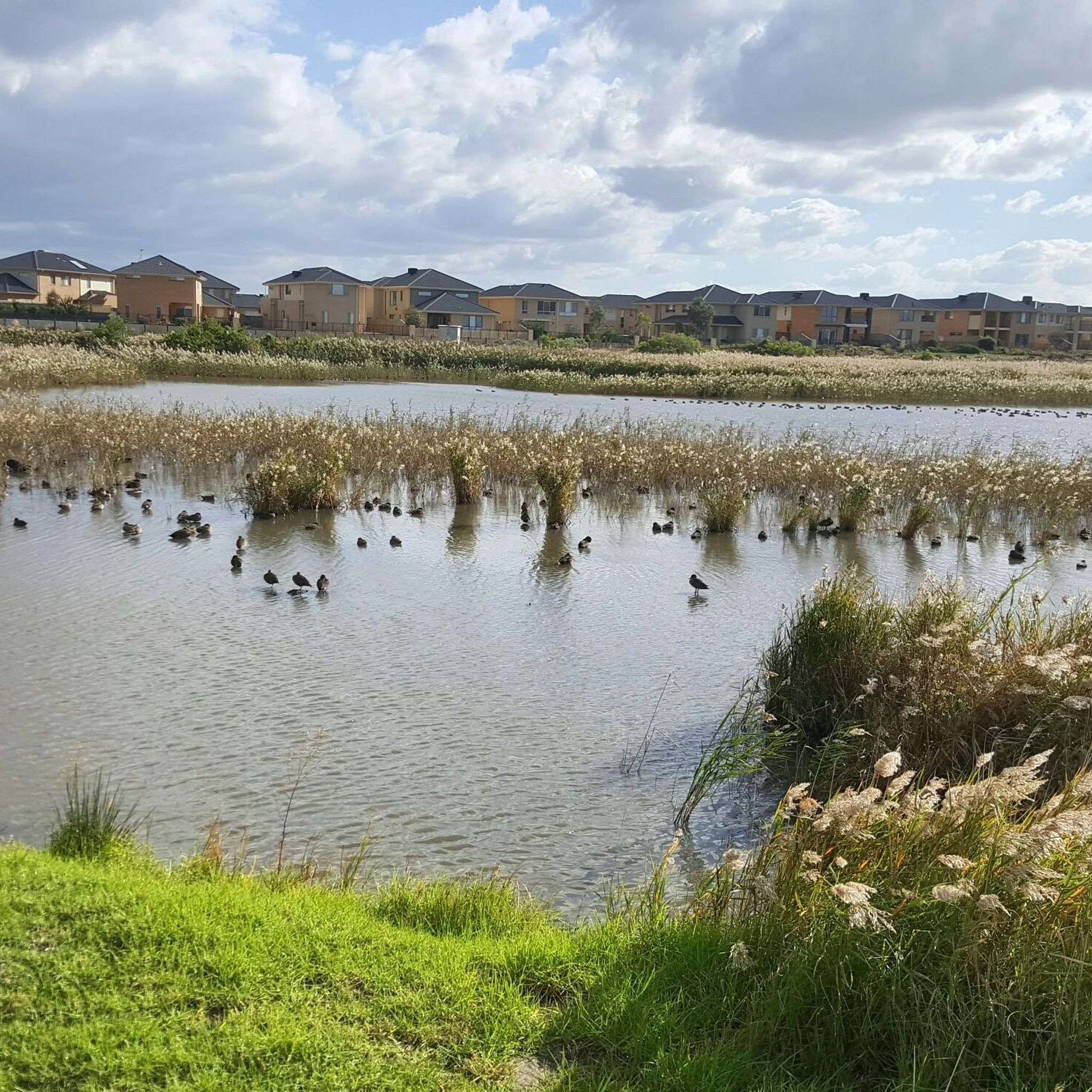
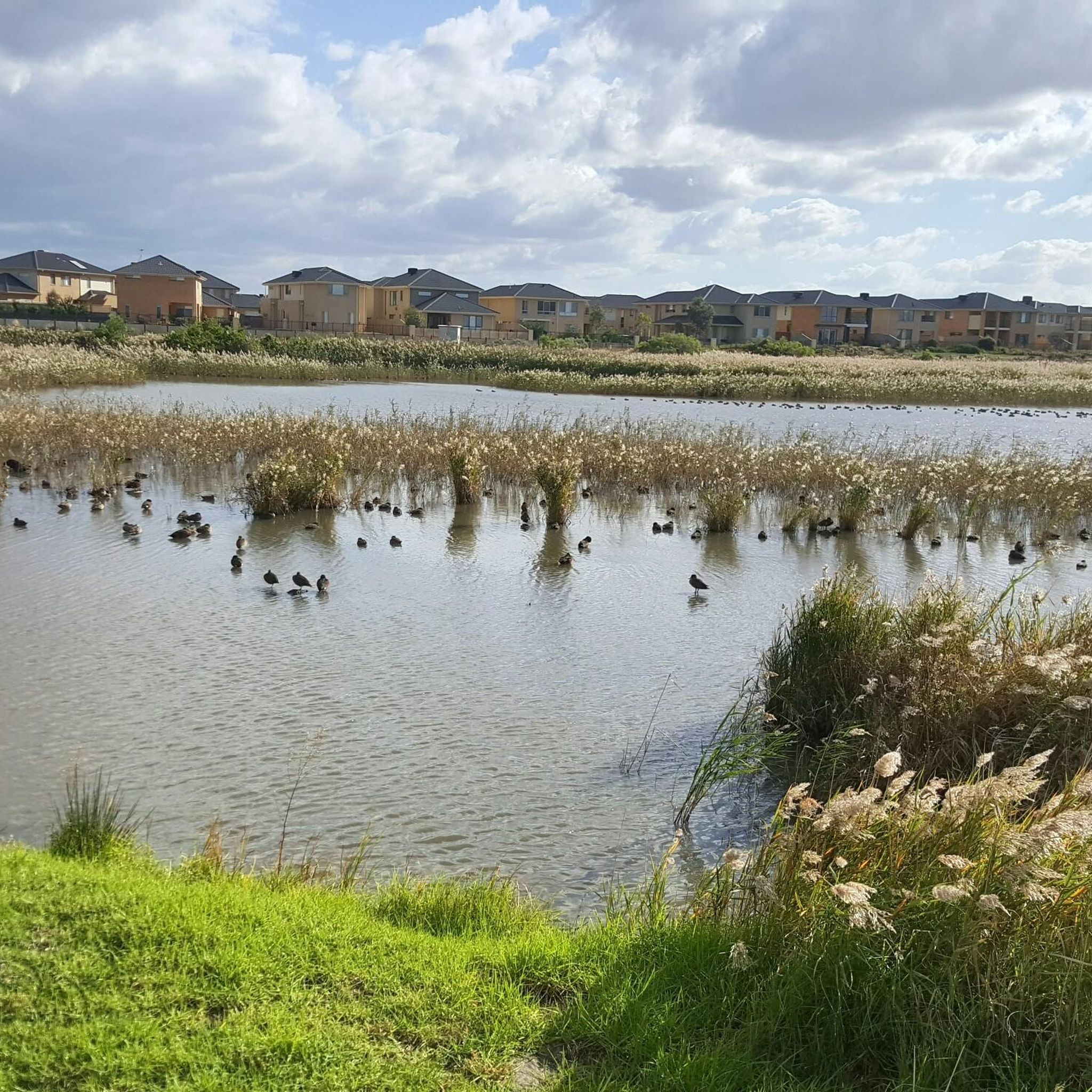
As a coastal park and nature reserve, Point Cook is home to various bird species and other wildlife. While specific sightings are not guaranteed, the Emu-foot Grassland area, for example, is known for its natural habitat, offering opportunities for wildlife observation.
What is the best time of year to go road cycling in Point Cook Coastal Park?
The best time for road cycling in Point Cook Coastal Park is generally during the milder seasons of spring (September to November) and autumn (March to May). These periods offer pleasant temperatures and less extreme weather, making for more comfortable rides along the open coastal paths.
Are there facilities like cafes or restrooms near the cycling routes?
While the park itself is a natural area, Point Cook and Altona Meadows, which are adjacent to the park and serve as starting points for several routes, offer various amenities including cafes and restrooms. It's advisable to check specific locations for facilities before your ride.
What do other road cyclists enjoy most about road cycling in Point Cook Coastal Park?
The komoot community highly rates the road cycling experience in Point Cook Coastal Park, with an average score of 4.7 stars from over 20 reviews. Cyclists frequently praise the flat, accessible terrain, the scenic coastal views, and the peaceful atmosphere of the open grasslands.
Most popular routes in Point Cook Coastal Park

Get inspired with the komoot mobile app


Explore more
Browse the best Road cycling routes in other regions.
