The best running trails in Yarra Ranges National Park
171
runners
17
runs
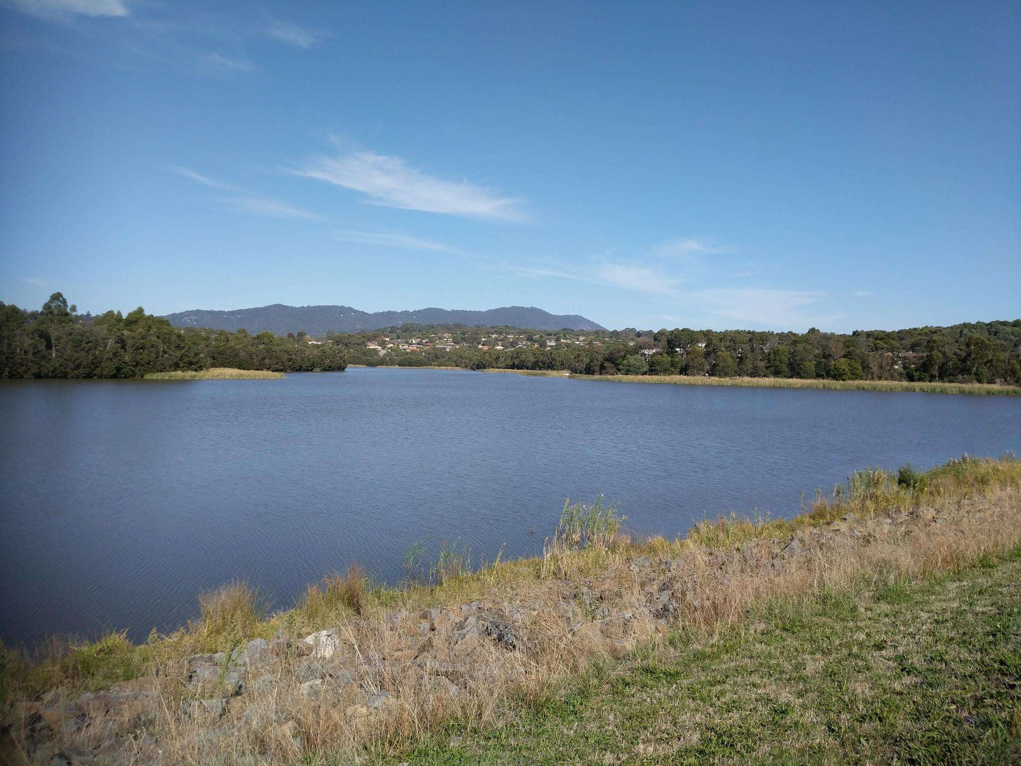
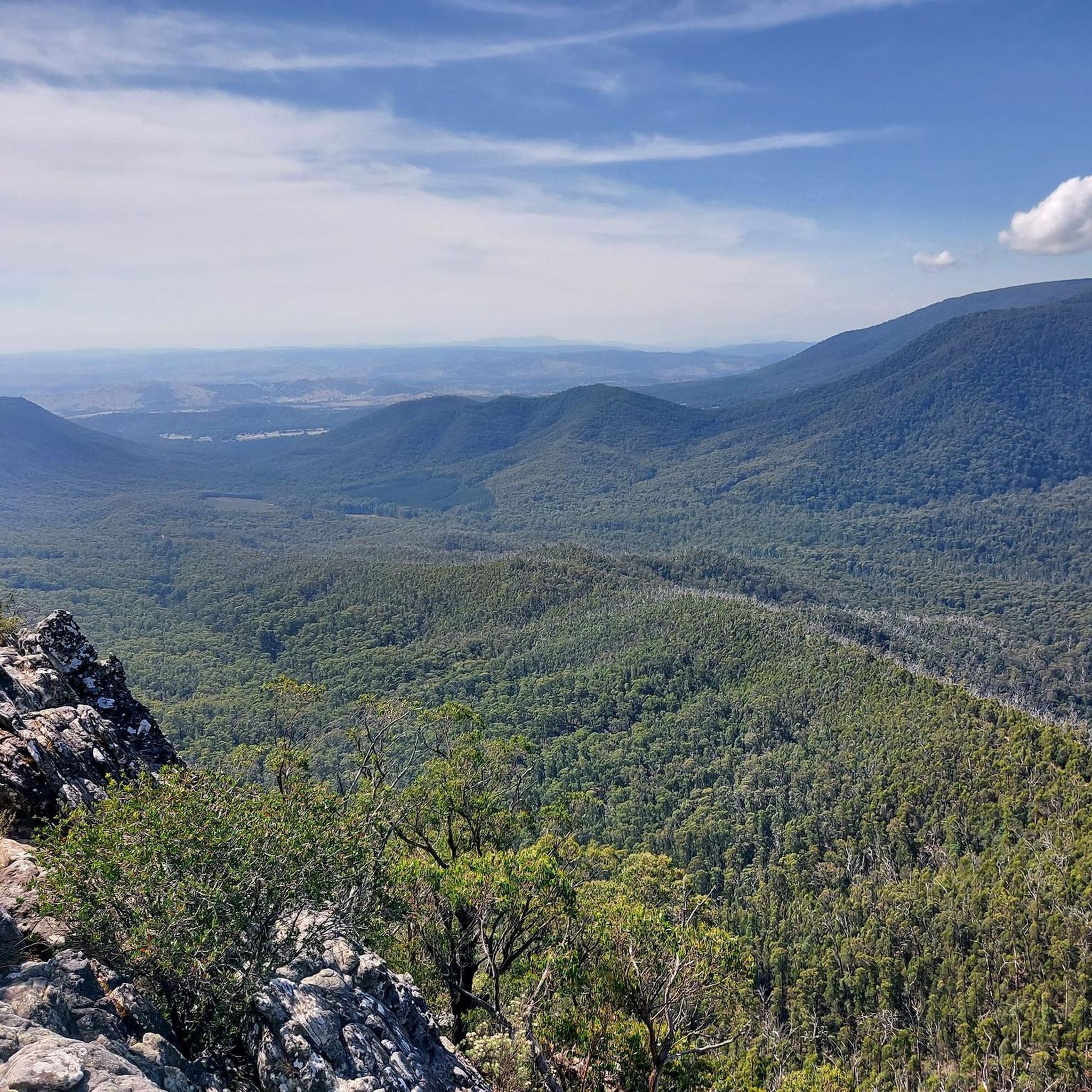
Jogging in Yarra Ranges National Park offers diverse routes through mountainous cool temperate forests, characterized by towering Mountain Ash trees and lush tree ferns. The region features clear streams that feed the Yarra River and various reservoirs, alongside carbon-rich temperate rainforests and subalpine eucalypt-dominant forests. Runners can experience varied terrains, from dense bush forests to pristine river valleys and waterfalls. The park's elevation profiles range from gentle paths to challenging climbs, providing a comprehensive jogging experience.
Best jogging routes in Yarra Ranges National Park
- The most popular jogging route is Mount St Leonard – Bingley View loop from Healesville G157 Bushland Reserve, a 14.3 miles (23.0 km) trail that takes 3 hours 15 minutes to complete. This challenging route features significant elevation gain through dense forest.
- Another top favourite among local runners is Maroondah Dam Lookout loop from Chum Creek, a moderate 3.6 miles (5.8 km) path. This route offers a pleasant run with views of the Maroondah Dam and surrounding natural landscapes.
- Local runners also love the Redwood Forest loop from Warburton, a 15.4 miles (24.7 km) trail leading through a unique stand of Giant Redwoods, often completed in about 2 hours 52 minutes.
- Jogging in Yarra Ranges National Park is defined by cool temperate forests, river valleys, and significant elevation changes. The network offers options for different ability levels, from moderate loops to difficult, long-distance running routes.
- The routes in Yarra Ranges National Park are highly rated by the komoot community. More than 170 runners have used komoot to explore Yarra Ranges National Park's varied terrain.
Last updated: June 26, 2026
6
runners
23.0km
03:15
1,070m
1,070m
Hard run. Very good fitness required. Mostly paved surfaces. Suitable for all skill levels.
5
runners
5.75km
00:40
180m
180m
Moderate run. Good fitness required. Mostly paved surfaces. Suitable for all skill levels.

Sign up for free
38
runners
25.2km
02:56
490m
490m
Hard run. Very good fitness required. Mostly paved surfaces. Suitable for all skill levels.
31
runners
17.5km
02:58
1,120m
1,120m
Hard run. Very good fitness required. Mostly paved surfaces. Suitable for all skill levels.
19
runners
22.7km
02:59
960m
960m
Hard run. Very good fitness required. Mostly paved surfaces. Suitable for all skill levels.
Get access to more routes and recommendations from other explorers.
Sign up for free
Already have an account?
Our route recommendations are based on thousands of hikes, rides, and runs completed by other people on komoot.
Start today with a free account
Your next adventure awaits.
Login or Signup

Frequently Asked Questions
How many running routes are available in Yarra Ranges National Park?
Yarra Ranges National Park offers a diverse network of over 18 running routes, catering to various fitness levels and preferences. These routes traverse mountainous cool temperate forests, river valleys, and areas with significant elevation changes, providing a comprehensive jogging experience.
Are there any easy running routes suitable for beginners or families?
While many routes in Yarra Ranges National Park present moderate to difficult challenges, the Maroondah Dam Lookout loop from Chum Creek is a moderate 3.6 miles (5.8 km) path that offers a pleasant run with views, making it a good option for those seeking a less strenuous experience. The O'Shannassy Aqueduct Trail, mentioned in regional research, is also known for lacking steep climbs and offering a pleasant stroll, which can be incorporated into a leisurely jog.
Can I bring my dog on the running trails in Yarra Ranges National Park?
Generally, dogs are not permitted in Yarra Ranges National Park to protect the native wildlife and natural environment. It's always best to check the official Parks Victoria website for the most current regulations regarding pets before planning your visit. You can find more information on their website: parks.vic.gov.au.
What kind of scenery or attractions can I expect to see while running?
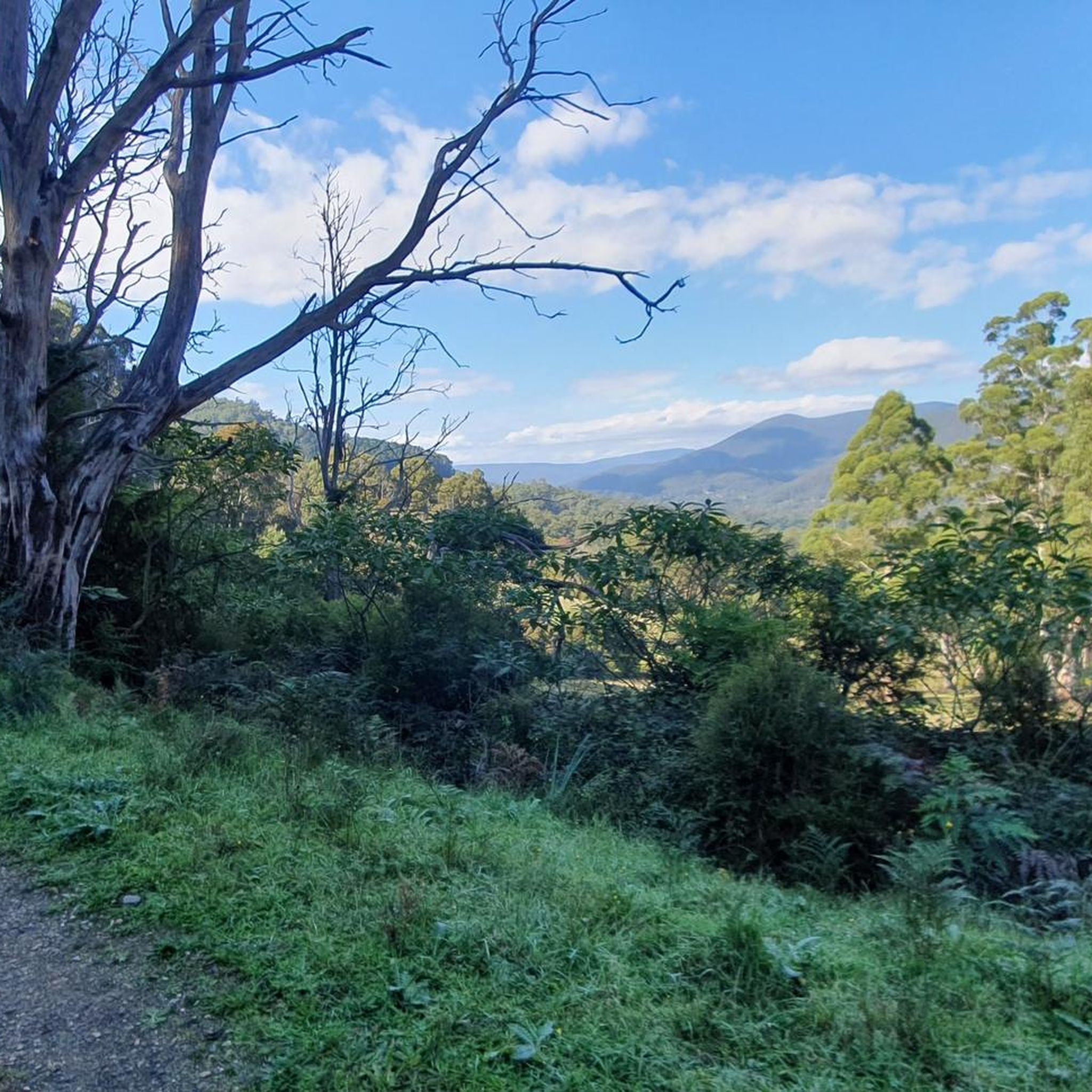
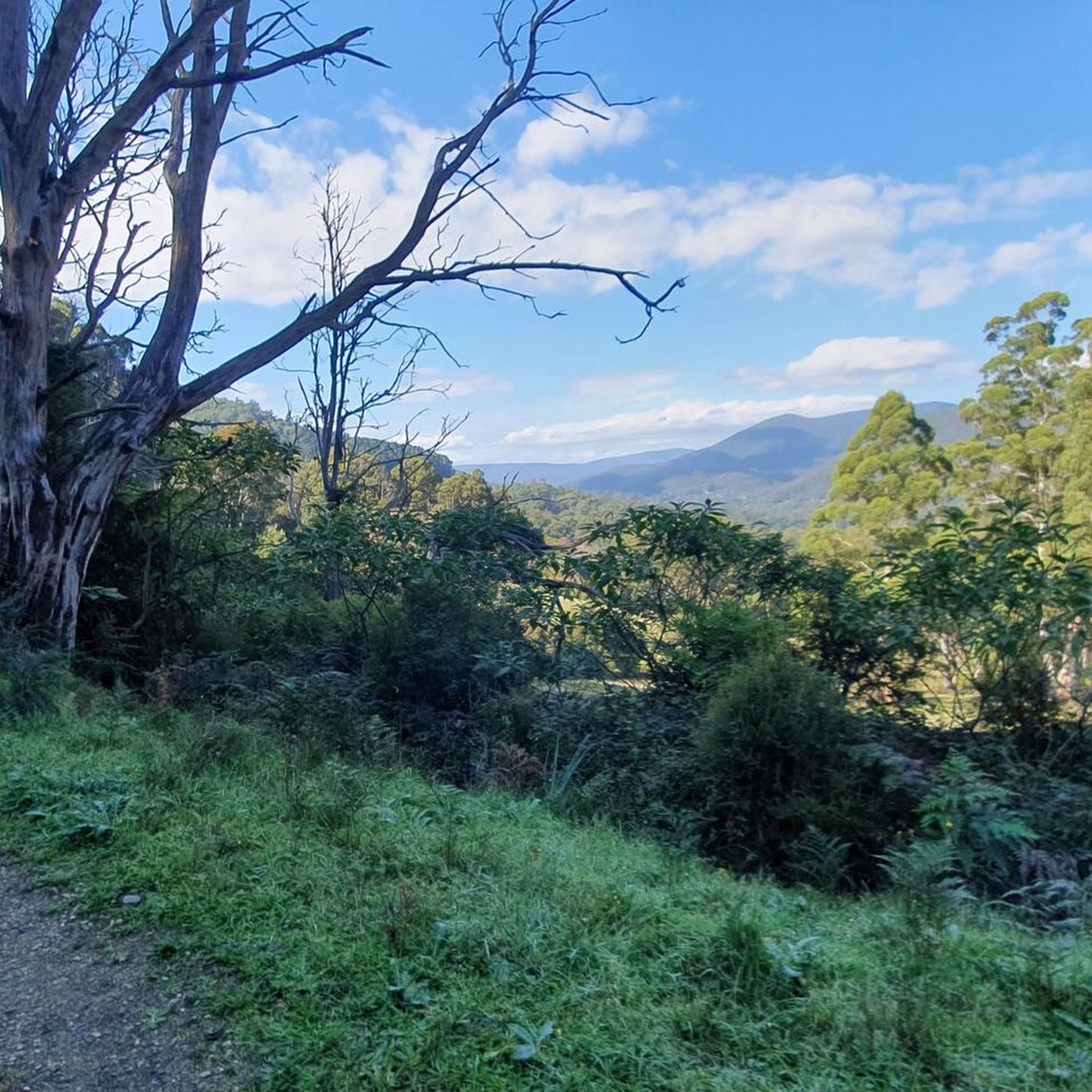
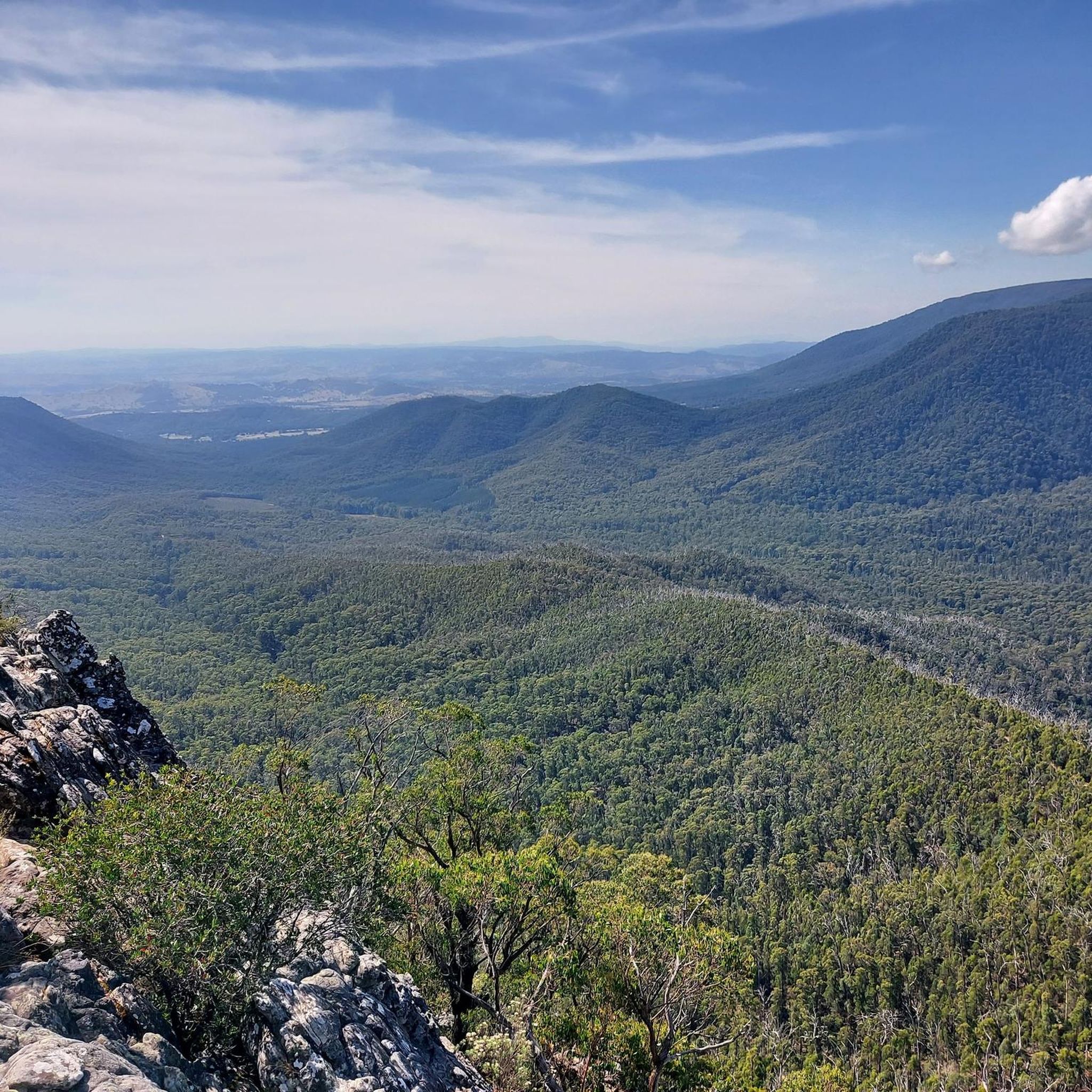
Running in Yarra Ranges National Park offers breathtaking scenery. You'll encounter towering Mountain Ash trees, lush tree ferns, and clear streams. Notable attractions include the Mount Donna Buang Observation Tower, offering panoramic views, and the unique Redwood tree corridors. The Mount St Leonard Summit and Lookout also provides stunning vistas. The park is rich in diverse flora and fauna, offering opportunities for wildlife spotting.
Are there any running routes with significant elevation gain for a challenging workout?
Yes, Yarra Ranges National Park is known for its challenging routes with substantial elevation gain. The Mount St Leonard – Bingley View loop from Healesville G157 Bushland Reserve, for instance, features over 1000 meters of elevation gain. Another demanding option is the Mount Victoria – Mount Donna Buang loop from Warburton, which also includes over 1100 meters of ascent.
Are there circular running routes available in the park?
Yes, many of the running routes in Yarra Ranges National Park are designed as loops, allowing you to start and finish at the same point. Examples include the popular Mount St Leonard – Bingley View loop and the Maroondah Dam Lookout loop. The Redwood Forest loop from Warburton also offers a unique circular experience.
What is the best time of year to go running in Yarra Ranges National Park?
The Yarra Ranges National Park offers a beautiful running experience year-round. However, the cool temperate forests provide a refreshing environment during warmer months. Spring and autumn offer pleasant temperatures and vibrant foliage, while winter can bring a unique, misty atmosphere, though some higher elevation trails might be more challenging due to weather conditions. Always check local weather forecasts before heading out.
Is public transport available to access the running trails?
While the Yarra Ranges National Park is approximately 107 km northeast of Melbourne, public transport options directly into the park's trailheads can be limited. It is generally recommended to travel by car to access the various starting points for running routes. Some towns bordering the park, like Warburton or Healesville, may have limited bus services, but direct access to specific trailheads often requires private transport.
Is parking available at the trailheads for runners?
Yes, parking is generally available at or near the main trailheads and popular access points within and around Yarra Ranges National Park. For specific routes, it's advisable to check the route details on komoot or consult official park information to confirm parking facilities at your chosen starting point.
What do other runners enjoy most about the trails in Yarra Ranges National Park?
The trails in Yarra Ranges National Park are highly rated by the komoot community, with over 170 runners having explored the varied terrain. Runners frequently praise the majestic Mountain Ash forests, the challenging yet rewarding elevation changes, and the serene escape offered by the natural environment. The diversity of routes, from moderate loops to difficult long-distance runs, is also a key highlight.
Are there any longer running routes for experienced runners looking for a full-day challenge?
Experienced runners seeking a significant challenge will find several options. The Mount St Leonard – Bingley View loop from Healesville G157 Bushland Reserve is a difficult 14.3 miles (23.0 km) route that takes over 3 hours to complete, featuring substantial elevation. Another long and challenging option is the Redwood Forest loop from Warburton, spanning 15.4 miles (24.7 km).
Are there any cafes or amenities near the running routes?
While the national park itself focuses on natural preservation, towns bordering the Yarra Ranges National Park, such as Warburton and Healesville, offer various cafes, pubs, and other amenities where you can refuel before or after your run. These towns are typically a short drive from many of the park's access points.
What makes running in Yarra Ranges National Park a unique experience?
Running in Yarra Ranges National Park is unique due to its distinctive cool temperate forests, home to the world's tallest flowering tree, the Mountain Ash. The diverse terrain, ranging from lush fern gullies to subalpine eucalypt forests, combined with significant elevation changes and pristine river valleys, offers an immersive and challenging experience. The opportunity to spot native wildlife further enhances the connection with nature.
Most popular routes in Yarra Ranges National Park
Most popular attractions in Yarra Ranges National Park

Get inspired with the komoot mobile app


Explore more
Browse the best Running Trails & Routes in other regions.
