The best road cycling routes in Western Port Intertidal Coastal Reserve
64
riders
6
rides
Road cycling in Western Port Intertidal Coastal Reserve offers diverse terrain within a significant ecological area, recognized as both a Ramsar site and a UNESCO Biosphere Reserve. The landscape is characterized by extensive intertidal mudflats, some of the world's most southerly mangrove forests, and Victoria's largest saltmarshes. Cyclists will encounter coastal paths, including sections of the Western Port Bay Trail, which features varying surfaces from sealed concrete to crushed rock. The area experiences dynamic tidal movements, shaping its unique coastal…
Last updated: July 10, 2026
20
riders
99.4km
04:24
990m
990m
Hard road ride. Very good fitness required. Mostly well-paved surfaces and easy to ride.
13
riders
133km
06:27
1,810m
1,810m
Hard road ride. Very good fitness required. Mostly well-paved surfaces and easy to ride.

Sign up for free
4
riders
88.6km
04:18
1,180m
1,180m
Hard road ride. Very good fitness required. Mostly well-paved surfaces and easy to ride.
6
riders
75.8km
03:23
790m
790m
Moderate road ride. Good fitness required. Mostly well-paved surfaces and easy to ride.
10
riders
49.9km
02:19
620m
620m
Moderate road ride. Good fitness required. Mostly well-paved surfaces and easy to ride.
Our route recommendations are based on thousands of hikes, rides, and runs completed by other people on komoot.
Start today with a free account
Your next adventure awaits.
Login or Signup
Popular around Western Port Intertidal Coastal Reserve
Tips from the Community

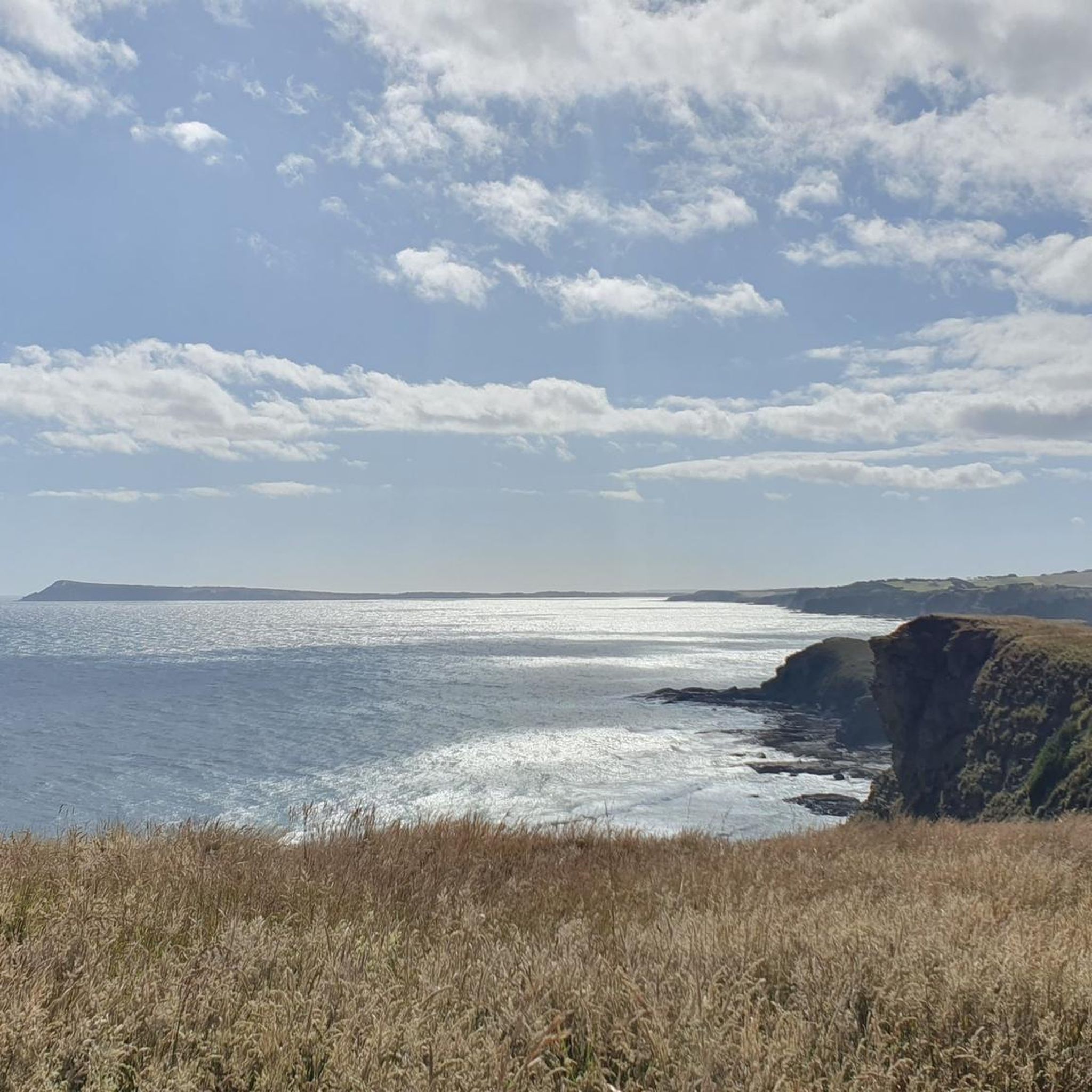
The Glade is Inverloch’s main foreshore reserve, extending from the shops right down to the beach at the entrance to Anderson Inlet. Known as “village green,” it’s a busy open parkland with a sound shell, BBQ area and tables, outdoor workout station and rotunda, and has long been a gathering place for concerts, picnics and community events. The Glade also hosts a farmers’ market on the last Sunday of each month, with more than 50 stalls selling fresh, locally grown produce and specialty foods.
0
0
Frequently Asked Questions
How many road cycling routes are available in Western Port Intertidal Coastal Reserve?
There are several dedicated road cycling routes in the Western Port Intertidal Coastal Reserve, offering diverse experiences. Komoot currently features 6 routes, ranging from moderate to difficult.
What kind of terrain will I encounter on road cycling routes in this region?
The terrain is varied, characterized by coastal paths, including sections of the Western Port Bay Trail. You can expect surfaces ranging from sealed concrete to crushed rock and even boardwalks. The landscape features extensive intertidal mudflats, mangrove forests, and saltmarshes, providing unique coastal views.
Are there road cycling routes suitable for different skill levels?
Yes, the Western Port Intertidal Coastal Reserve offers routes for various abilities. You'll find a mix of moderate and difficult routes. For example, Viewpoint on sea – Colbert Ck Bushland Reserve loop from Grantville is a moderate option, while the Undertow Bay – Eagles Nest loop from Grantville is considered difficult.
What natural features can I see while cycling in Western Port Intertidal Coastal Reserve?
The region is a UNESCO Biosphere Reserve and Ramsar site, known for its ecological significance. You'll encounter vast intertidal mudflats, some of the world's most southerly mangrove forests, and Victoria's largest saltmarshes. The area is also a critical habitat for 115 waterbird species, including migratory birds.
Are there any specific landmarks or attractions along the road cycling routes?
Many routes offer views of the dynamic coastal environment. Along the Western Port Bay Trail, you can explore the Hastings Foreshore, which is great for picnics, or detour along the Bittern Coastal Wetlands Boardwalk. Warringine Park offers interpretive walking paths and bird watching, and you might spot pelicans near Hastings Pier. The Westernport Marina is also visible from some sections.
Are there family-friendly cycling options in the Western Port Intertidal Coastal Reserve?
The Western Port Bay Trail, particularly its well-paved and sealed sections, offers easier riding suitable for families. While some segments can be unpaved and challenging, there are accessible parts that cater to all fitness levels, making it a good choice for a family outing.
When is the best time of year to go road cycling in this region?
The Western Port Intertidal Coastal Reserve experiences significant tidal movements, which shape the dynamic environment. Cycling is generally enjoyable year-round, but checking local weather and tidal charts is advisable for the best experience, especially if you plan to explore coastal areas at low tide.
Are there circular road cycling routes available?
Yes, many of the routes in the Western Port Intertidal Coastal Reserve are designed as loops, allowing you to start and finish at the same point. Examples include the Viewpoint on sea loop from Coronet Bay and the Roadbike loop from Grantville.
Where can I find parking for road cycling trails?
Specific parking information for individual trailheads is best found by checking local council websites or detailed maps. Areas like Hastings Foreshore and locations near the Western Port Bay Trail often provide parking facilities for visitors.
Are there cafes or places to eat along the cycling routes?
The Hastings Foreshore area, accessible from sections of the Western Port Bay Trail, offers opportunities for picnics and barbecues. For specific cafes and restaurants, you may need to venture slightly off the main trail into nearby townships.
Do I need any special permits to cycle in the Western Port Intertidal Coastal Reserve?
Generally, no special permits are required for recreational cycling on public trails within the reserve. However, it's always a good practice to check with local authorities or park management for any specific regulations or temporary restrictions, especially for sensitive ecological areas. You can find more information on local government sites like casey.vic.gov.au.
What makes road cycling in Western Port Intertidal Coastal Reserve unique?
The uniqueness comes from cycling through a globally significant ecological area. As a Ramsar site and UNESCO Biosphere Reserve, the region offers a rare opportunity to experience diverse coastal ecosystems, including mangrove forests and vast intertidal zones, all while enjoying a ride with dynamic bay views.
Most popular routes in Western Port Intertidal Coastal Reserve

Get inspired with the komoot mobile app


Explore more
Browse the best Road cycling routes in other regions.
