The best walks and hikes in Lorne - Queenscliff Coastal Reserve
4.6
(138)
2,629
hikers
33
hikes
Hiking in Lorne - Queenscliff Coastal Reserve offers diverse landscapes, from white sandy beaches and dramatic clifftops to lush fern gullies and eucalyptus forests. The region features varied terrain, including steeper, wetter areas that support rich vegetation and dense undergrowth. Hikers can explore coastal paths, forested trails, and routes leading to numerous waterfalls. This area provides a wide array of experiences for different skill levels.
Best hiking trails in Lorne - Queenscliff Coastal Reserve
- The most popular hiking route is…
Last updated: July 7, 2026
53
hikers
7.60km
02:05
120m
120m
Moderate hike. Good fitness required. Easily-accessible paths. Suitable for all skill levels.
5.0
(2)
53
hikers
5.33km
01:23
30m
30m
Easy hike. Great for any fitness level. Easily-accessible paths. Suitable for all skill levels.

Sign up for free
5.0
(6)
27
hikers
15.9km
04:31
350m
350m
Moderate hike. Good fitness required. Easily-accessible paths. Suitable for all skill levels.
14
hikers
8.86km
02:17
40m
40m
Moderate hike. Good fitness required. Easily-accessible paths. Suitable for all skill levels.
5.0
(3)
33
hikers
7.31km
01:55
50m
50m
Easy hike. Great for any fitness level. Easily-accessible paths. Suitable for all skill levels.
Get access to more routes and recommendations from other explorers.
Sign up for free
Already have an account?
Our route recommendations are based on thousands of hikes, rides, and runs completed by other people on komoot.
Start today with a free account
Your next adventure awaits.
Login or Signup
Popular around Lorne - Queenscliff Coastal Reserve

Tips from the Community

Yellow Bluff gets its name from the yellow sandstone cliffs that have been eroded by the surf and wind along The Esplanade in Torquay. If you walk the cliffs and look closely, you may be able to find some "dogtooth" calcite crystal. Up the cliffs atop the bluff sits the Elephant Walk Park, with a children's playground, green lawns, public BBQs, and public toilets.
0
0
This stone pillar stands before a beautiful backdrop of Point Danger Marine Sanctuary. The plaques on the pillar commemorate those who died in the Korean, Malayan Emergency, and Vietnam Wars. There are a few benches here with great, unobstructed views out to sea, along with lots of parking and toilets on the west side of the parking area.
0
0

This lookout sits above Little Rock, a smaller surf break just south of Bells Beach. From here, you get a clear view along the cliffs and down onto the break, with waves wrapping into the narrower section of coastline below. The viewpoint is set along the clifftop track, with open sightlines along the Surf Coast and little separation from the edge.
0
0
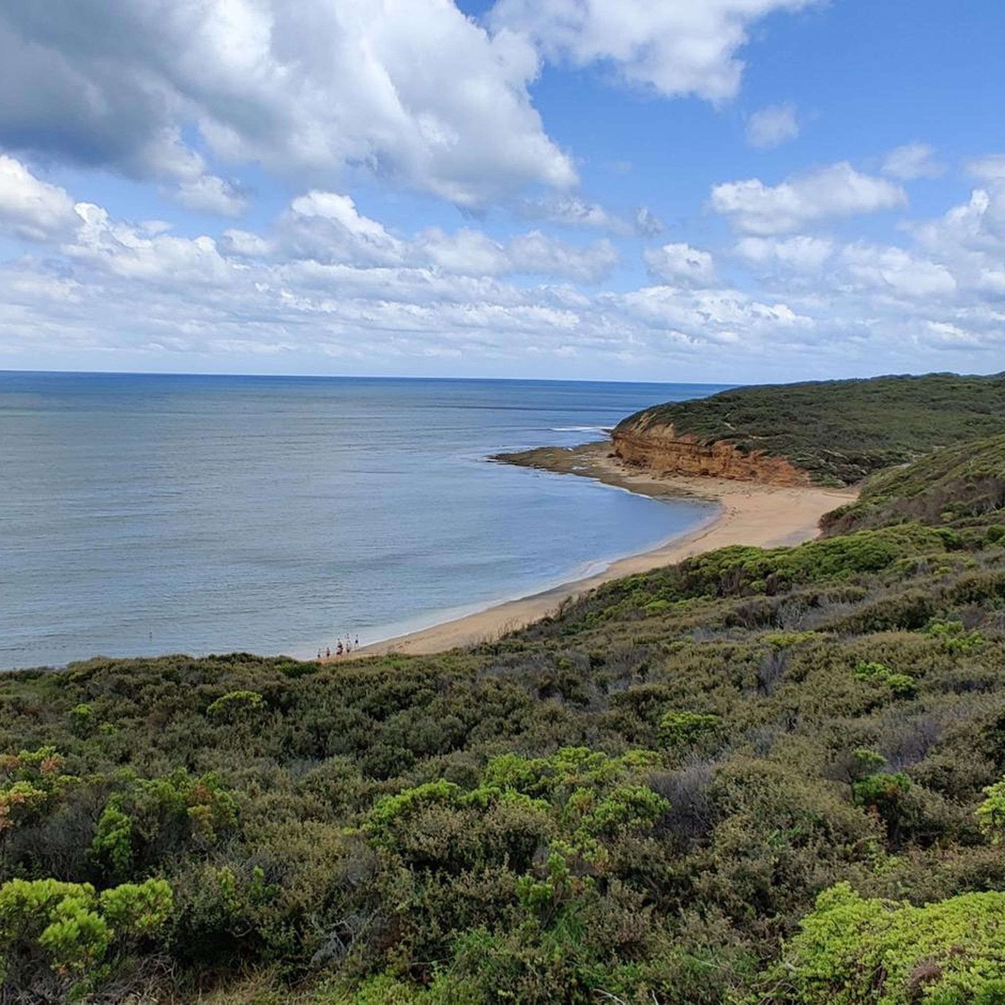
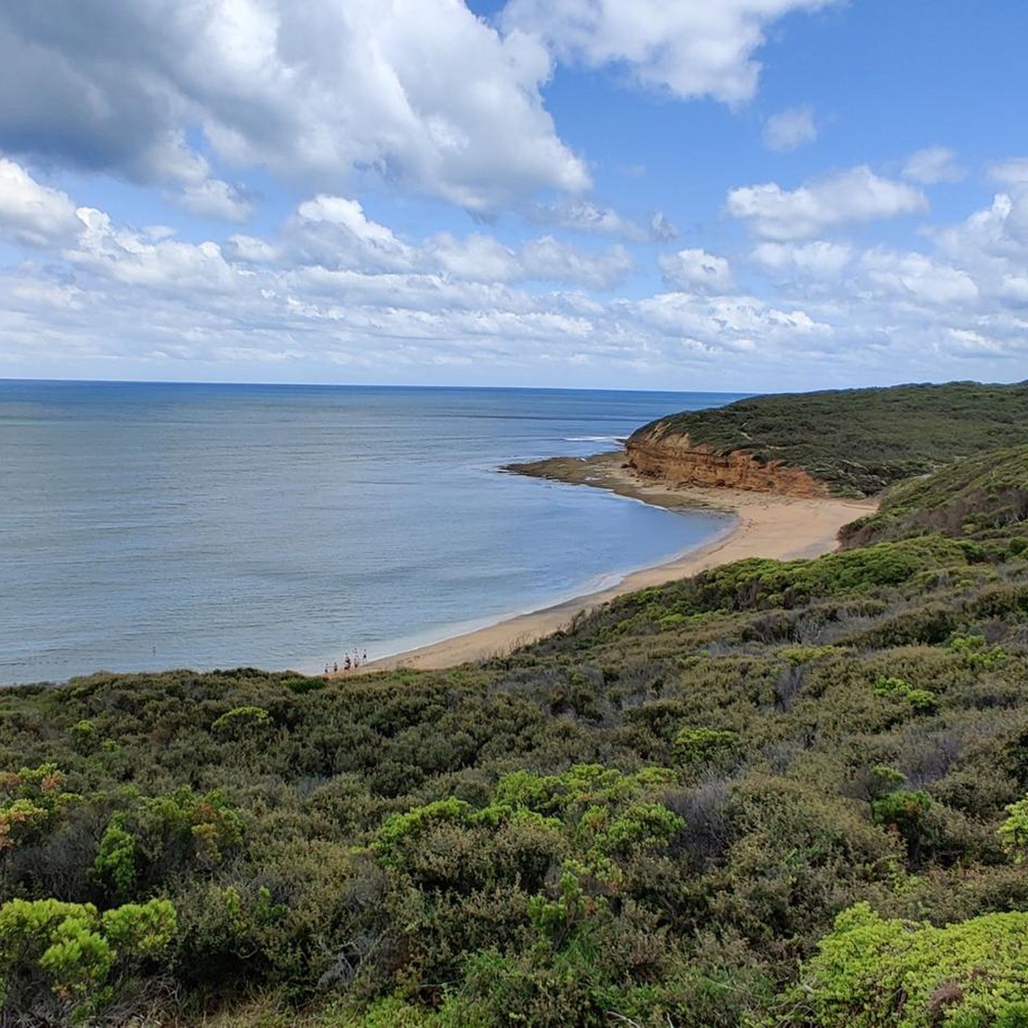
This lookout sits above Bells Beach, looking down over the main surf breaks along this section of the coast. The elevated position gives a clear view of the curved bay, with waves rolling in toward the beach and cliffs framing the coastline. Access is via a short path and stairs, with the viewpoint set just back from the edge.
0
0
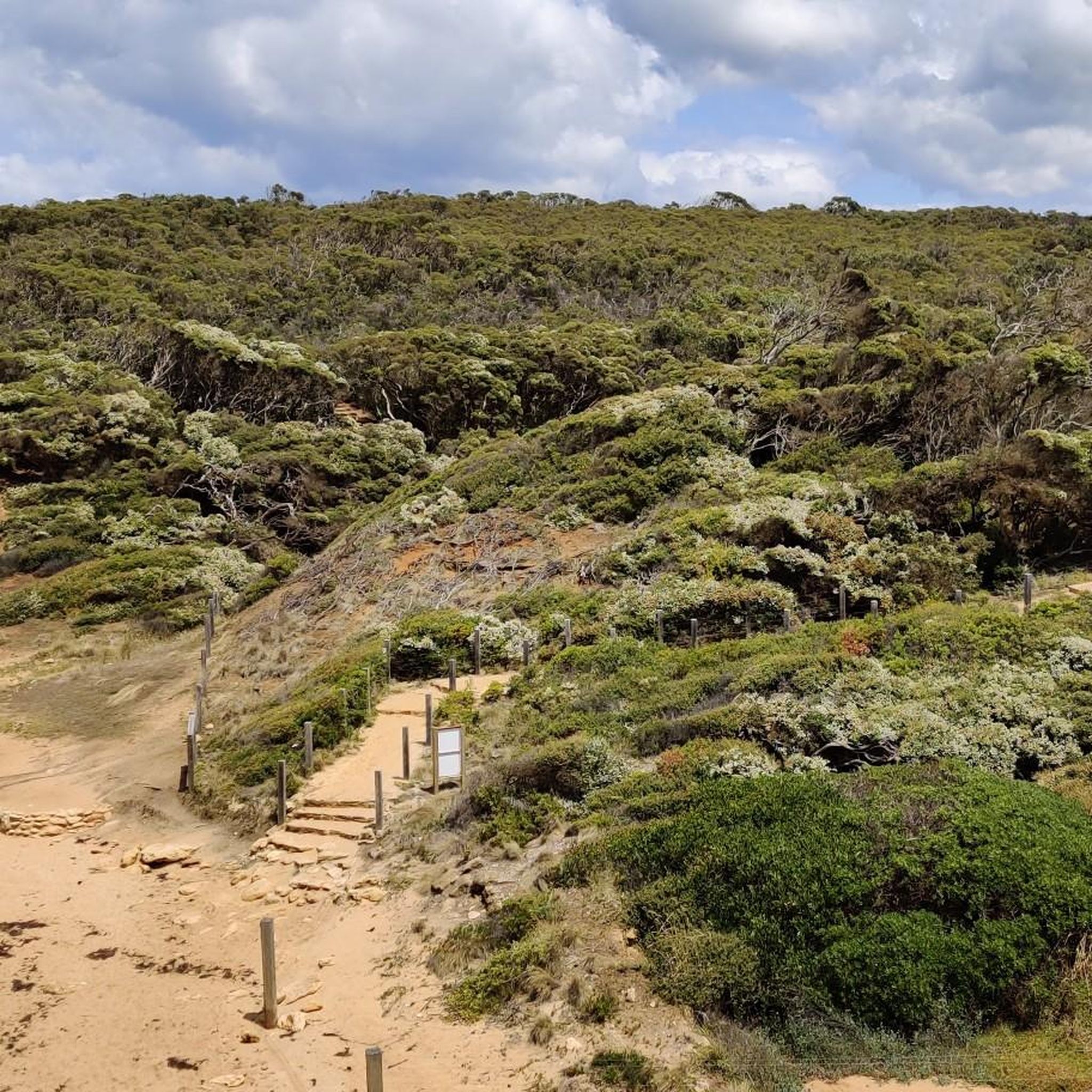
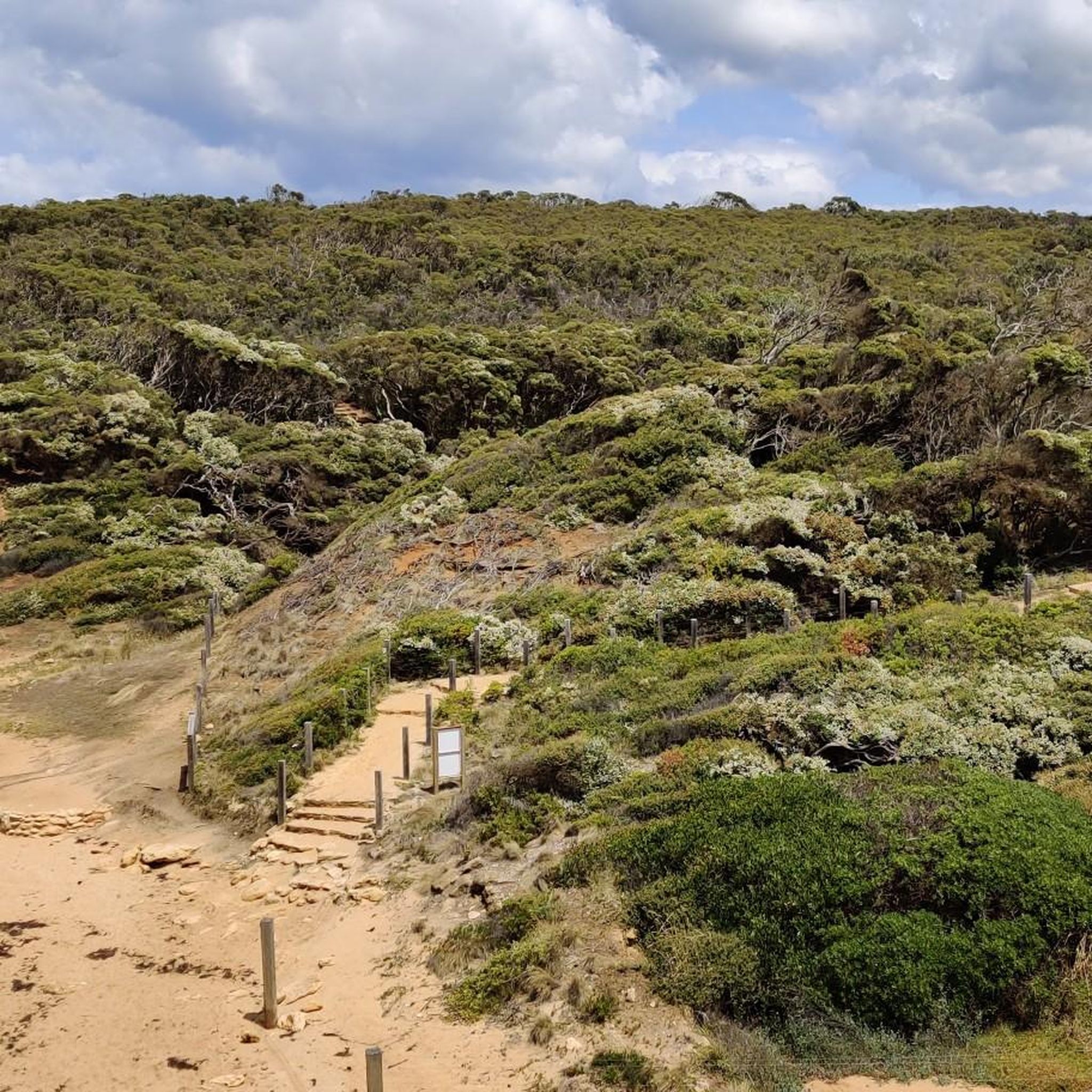
This section of the Surf Coast Walk connects Jan Juc Beach to Bells Beach along the clifftops, following the historic Bells Track used by early surfers. The trail is well-formed with a mix of compacted gravel and dirt, with some gentle hills and exposed sections along the coastline. The route runs through low coastal vegetation with continuous ocean views, passing lookouts over the surf breaks along this stretch.
0
0

Barwon Heads Bluff is a prominent coastal headland overlooking the confluence of the Barwon River and Bass Strait, offering beautiful sweeping views of the ocean, river, and surrounding coastline. This area is part of the Barwon Bluff Marine Sanctuary, where rock platforms and reefs support diverse marine life that are exposed at low tide for exploration. The walking tracks around the bluff offer fantastic panoramic views, and if you’re here during the right time of year (May to July and September to November), you’ll have a chance to spot migrating whales offshore.
0
0
Barwon River flows through Victoria to meet the sea at Barwon Heads, forming a wide estuary that separates Ocean Grove from its neighbouring town. It’s calm, tidal waters are ideal for canoeing, boating, fishing, and paddleboarding, with plenty of shady spots along the foreshore. The river connects inland wetlands and Lake Connewarre to the coast, creating an important ecological waterway and a popular local recreation spot.
0
0
Ocean Grove Beach is a long and wide stretch of sandy coastline that extends roughly two kilometres along the Bellarine Peninsula, backed by rolling dunes. This beach is a popular destination for surfers due to its moderate waves and seasonal lifeguard patrols, with ample parking access and plenty of picnic areas. With less wave energy than the surrounding exposed coasts, this beach is ideal for swimming, surfing, and walking, making it a fantastic family-friendly choice, especially in the summer.
0
0
Frequently Asked Questions
How many hiking trails are available in Lorne - Queenscliff Coastal Reserve?
The Lorne - Queenscliff Coastal Reserve offers a diverse network of over 35 hiking trails, catering to various skill levels. You'll find everything from easy strolls to more challenging treks through varied landscapes.
What are the different difficulty levels for hiking trails in the Lorne - Queenscliff Coastal Reserve?
Hikers can choose from a range of difficulty levels. There are 22 easy trails, 11 moderate routes, and 2 more challenging options. This variety ensures there's a suitable path for most experience levels.
Are there any family-friendly hiking options in the Lorne - Queenscliff Coastal Reserve?
Yes, the reserve offers many family-friendly walks, particularly those that are shorter and less strenuous. These trails often lead through scenic areas like fern gullies or offer coastal views, providing an enjoyable experience for all ages. Look for routes classified as 'easy' for the best family-friendly options.
Can I bring my dog on the hiking trails in Lorne - Queenscliff Coastal Reserve?
Regulations regarding dogs vary within the Great Otway National Park and the broader Lorne - Queenscliff Coastal Reserve. Generally, dogs are permitted in some designated areas and on leads, but often restricted from national park areas to protect wildlife. It's best to check specific trail signage or the Parks Victoria website for the most current information on dog-friendly zones before you go.
What natural features and landmarks can I expect to see while hiking?
The region is renowned for its diverse landscapes, including white sandy beaches, dramatic clifftops, and lush fern gullies within eucalyptus forests. You can discover spectacular waterfalls like Erskine Falls and Sheoak Falls, as well as iconic viewpoints such as Split Point Lookout and Lighthouse, offering panoramic coastal views. The Great Ocean Road Memorial Arch is another notable landmark.
Are there any circular hiking routes in the area?
Yes, there are several circular routes available. For instance, the Point Addis loop from Jan Juc is a moderate 16 km path offering coastal views. Another option is the Jan Juc Beach Lookouts – Surf Beach, Torquay loop from Torquay, an easier 6.1 km trail.
What is the best time of year to go hiking in Lorne - Queenscliff Coastal Reserve?
The Lorne - Queenscliff Coastal Reserve is beautiful year-round. Spring (September to November) brings wildflowers and pleasant temperatures, while autumn (March to May) offers cooler weather ideal for longer hikes. Summer (December to February) is popular for coastal walks combined with beach activities, though trails can be busier. Winter (June to August) can be wet but often means fewer crowds and full, dramatic waterfalls.
Where can I find parking for trailheads, especially for popular spots like Erskine Falls?
Parking is available at many trailheads throughout the reserve. For popular attractions like Erskine Falls, there is a dedicated car park at the top, though it can fill up quickly during peak times. Other trails often have parking areas at their starting points, particularly near towns like Lorne or Torquay. Always check local signage for specific parking regulations and availability.
Is public transport available to reach hiking trails in the Lorne - Queenscliff Coastal Reserve?
Public transport options to reach specific trailheads within the reserve can be limited. V/Line buses operate along the Great Ocean Road, connecting major towns like Lorne and Torquay, which serve as good starting points for many walks. However, reaching more remote trailheads often requires a car. It's advisable to plan your journey in advance and check bus schedules if relying on public transport.
What kind of wildlife might I encounter on the trails?
The reserve is home to diverse wildlife. Keep an eye out for native animals such as koalas, kangaroos, wallabies, and echidnas. Birdwatchers may spot various species, including the endangered spotted quail-thrush. The protected wetlands also serve as refuges for critically endangered species like the growling grass frog. Remember to observe wildlife from a distance and never feed them.
What do other hikers enjoy most about hiking in Lorne - Queenscliff Coastal Reserve?
The area is highly rated by the komoot community, with an average score of 4.6 stars from over 90 reviews. Reviewers often praise the stunning diversity of landscapes, from the dramatic coastal views to the tranquil fern gullies and impressive waterfalls. The variety of trails catering to different skill levels is also frequently highlighted as a major draw.
Are there any trails that feature waterfalls?
Absolutely, the region is known for its spectacular waterfalls. The Erskine Falls and Straw Falls via Track 1 route is a prime example, leading you to two magnificent cascades. Other notable waterfalls accessible via trails include Sheoak Falls, Kalimna Falls, Henderson Falls, Won Wondah Falls, and Phantom Falls, many of which can be accessed from the Sheoak Picnic Area.
Most popular routes in Lorne - Queenscliff Coastal Reserve
Most popular attractions in Lorne - Queenscliff Coastal Reserve

Get inspired with the komoot mobile app


Explore more
Browse the best Hikes in other regions.
