The best MTB trails in Mark Oliphant Conservation Park
4.0
(2)
354
riders
15
rides
Mountain bike trails in Mark Oliphant Conservation Park are not officially permitted within the park boundaries according to the National Parks and Wildlife Service South Australia. The park, spanning 189 hectares in the Adelaide Hills, features a forest environment with tall stringybark trees, medium to steep sloping hillsides, and narrow valley floors. While the park is primarily designated for bushwalking, the surrounding region offers diverse terrain with varied elevation changes.
Best mountain bike trails in Mark Oliphant Conservation Park
- The…
Last updated: July 4, 2026
62
riders
16.5km
01:30
380m
380m
Moderate mountain bike ride. Good fitness required. Advanced riding skills necessary.
5.0
(1)
50
riders
24.0km
02:31
640m
640m
Hard mountain bike ride. Good fitness required. Advanced riding skills necessary. Some portions of the route may require you to push your bike.

Sign up for free
32
riders
13.2km
01:17
330m
330m
Moderate mountain bike ride. Good fitness required. Advanced riding skills necessary.
8
riders
16.2km
01:23
330m
330m
Hard mountain bike ride. Good fitness required. Advanced riding skills necessary. Some portions of the route may require you to push your bike.
5
riders
17.0km
01:41
440m
440m
Hard mountain bike ride. Good fitness required. Advanced riding skills necessary. Some portions of the route may require you to push your bike.
Get access to more routes and recommendations from other explorers.
Sign up for free
Already have an account?
Our route recommendations are based on thousands of hikes, rides, and runs completed by other people on komoot.
Start today with a free account
Your next adventure awaits.
Login or Signup




Tips from the Community

Located just 22 kilometres from Adelaide's CBD, this national park has rich plant and animal life and wonderful geologic features like Mount Lofty and Waterfall Gully. The park sits on shared territory of the Kaurna and Peramangk people, who have called this area home for millennia. The park also holds the Cleland Wildlife Park, which allows visitors to get up close to a variety of native wildlife.
0
0
This short gravel track is a great entryway into Cleland National Park. What it lacks in length it makes up for in connections. As you wind along this 1-kilometre stretch you'll have multiple opportunities to fork off onto other trails that will take you deeper into the park.
0
0

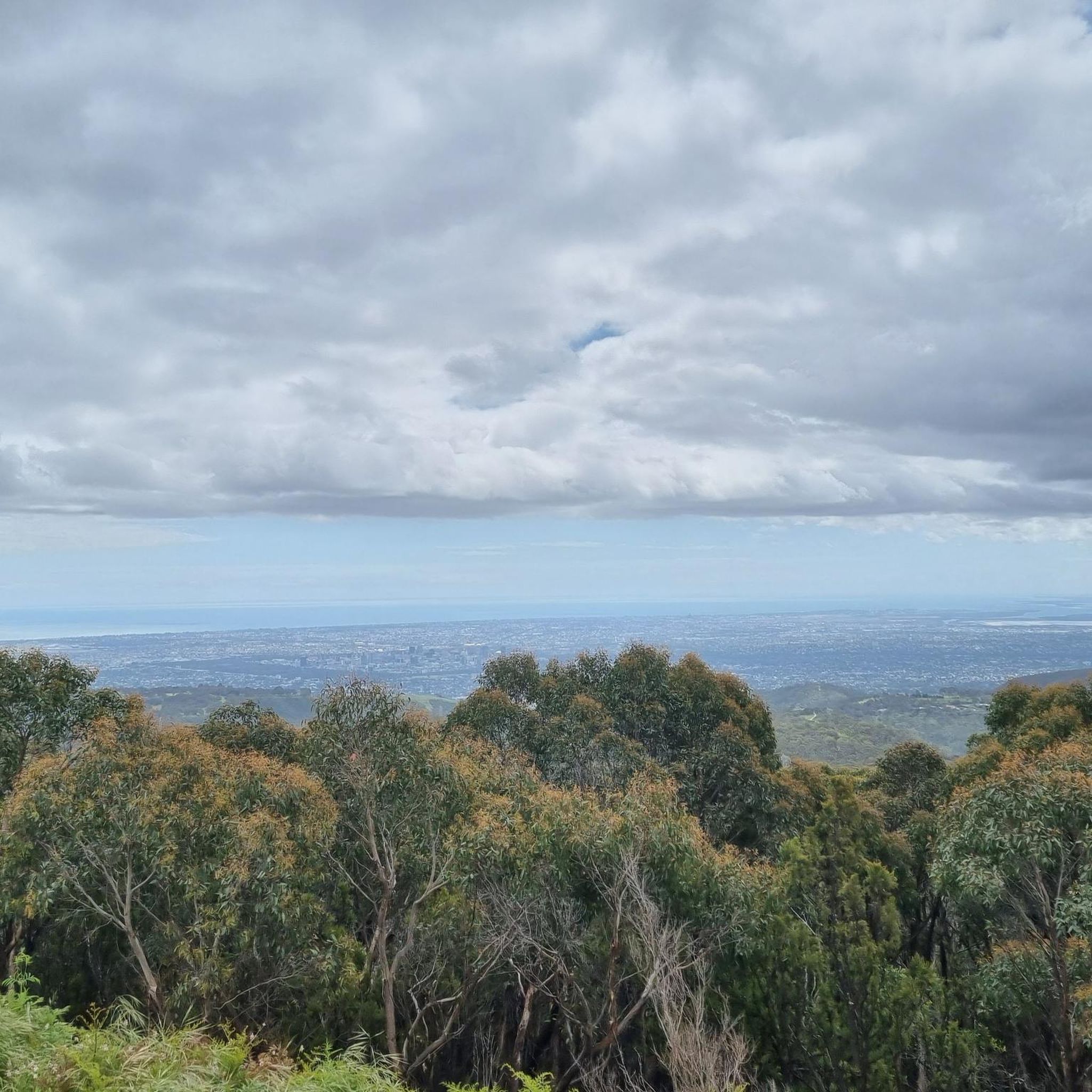
Measday's Lookout is a viewpoint right from the Cleveland National Park parking area on Mount Baker Road. This view stretches over the city and even to the coastline when it's clear.
1
0
Chinamans Hut Track leaves Mireen Track and stretches east to the Cleland Wildlife Park. It's a wider trail, nice for group walks, and follows higher ridges in Cleveland National Park.
1
0

Bartrill Spur Track is a relatively steep path that climbs the hillside above the reserve. The narrow track ascends through native eucalyptus woodland, gaining elevation as it winds toward the higher ridgelines of the hills’ face. Along the climb, there are occasional gaps in the trees with beautiful views across the foothills toward Adelaide.
0
0
This multi-use track winds through the quiet valley of the reserve, climbing gradually through eucalyptus woodland, and follows the gully past rocky slopes and seasonal creek lines. Compared with the nearby Waterfall Gully to Mount Lofty Summit Trail, it offers a more secluded route through natural bushland. However, it is a shared trail used by walkers, runners, and mountain bikers, so keep an eye out for other users while enjoying the peaceful bush setting.
0
0
Chambers Gully Reserve spans almost 47 hectares of bushland in the foothills of the Adelaide Hills near Waterfall Gully. The reserve protects areas of native eucalyptus woodland and seasonal creeks that provide habitat for birds and other local wildlife. Walking trails wind through the quiet valley, offering a peaceful natural escape close to the eastern suburbs of Adelaide.
0
0
Mount Lofty is the highest point in the Mount Lofty Ranges and offers sweeping panoramic views across the city of Adelaide and the coastline of Gulf St Vincent. The summit features a well-known lookout, visitor facilities, and access to walking trails that pass through native bushland in the surrounding hills. Its elevated vantage point makes it one of the most popular viewpoints in the Adelaide Hills and a highlight of many nearby hiking routes.
0
0
Frequently Asked Questions
Is mountain biking permitted within Mark Oliphant Conservation Park?
No, mountain biking is currently not permitted within the boundaries of Mark Oliphant Conservation Park, according to the National Parks and Wildlife Service South Australia. The park is primarily designated for bushwalking and nature appreciation.
What activities are permitted in Mark Oliphant Conservation Park?
Mark Oliphant Conservation Park is an excellent destination for bushwalking and nature appreciation. Visitors can enjoy walking through diverse forest environments, observing wildlife, and birdwatching. Several well-maintained walking trails are available, catering to various fitness levels.
Where can I find mountain bike trails near Mark Oliphant Conservation Park?
While mountain biking is not permitted inside the park, the surrounding Adelaide Hills region offers various trails. For example, you can explore routes like Chambers Gully Trail – Cypress Hotel loop from Stirling or Cypress Hotel loop from Stirling, which start from nearby Stirling and navigate the regional landscape.
What kind of terrain can I expect on mountain bike trails in the broader Mark Oliphant Conservation Park area?
Mountain bike routes in the broader area, such as those starting from Stirling, typically feature forest environments, rolling hills, and varied undergrowth. You'll encounter both moderate and difficult sections, with significant elevation changes on some routes. For instance, the Chambers Gully Trail – Cypress Hotel loop from Stirling includes over 600 meters of elevation gain.
Are there any family-friendly activities or trails in Mark Oliphant Conservation Park?
Yes, for families interested in walking, the park offers several options. The Candlebark Trail (250m, 10 min) is a smooth, flat trail suitable for families with young children and mobility-impaired visitors, leading to a shelter and picnic area. The Skink Trail (3km loop, 45 min) is a gentle loop with some uneven sections, showcasing the park's natural beauty.
What natural features can I see when visiting Mark Oliphant Conservation Park?
The park is known for its tall stringybark gum trees, including messmate and brown stringybark. You can also find a small, rare stand of impressive candlebark gums. During winter months, the Heath Trail offers the chance to see an ephemeral waterfall. The diverse understorey features spring-flowering shrubs like myrtle-leaved wattle and beaked hakea.
Can I bring my dog to Mark Oliphant Conservation Park?
Generally, dogs are not permitted in South Australian National Parks and Wildlife Service parks, including Mark Oliphant Conservation Park, to protect native wildlife. It's always best to check the official park website for the most current regulations regarding pets: parks.sa.gov.au.
What is the best time of year to visit Mark Oliphant Conservation Park?
The park offers different experiences throughout the year. Winter months are ideal for potentially seeing the ephemeral waterfall along the Heath Trail. Spring brings vibrant displays of flowering shrubs in the understorey. The tranquil forest environment makes it a pleasant destination for bushwalking in cooler weather.
Are there amenities or facilities available at Mark Oliphant Conservation Park?
Yes, the park has amenities to enhance your visit. There is an extended car park for visitor convenience, new signage to help with navigation, and a shelter and picnic area, particularly accessible via the Candlebark Trail.
How long are the mountain bike routes in the area surrounding Mark Oliphant Conservation Park?
The mountain bike routes in the region vary in length. For example, the Cypress Hotel loop from Stirling is about 13.2 km (8.2 miles) and takes around 1 hour 17 minutes. Longer, more challenging routes like the Cypress Hotel – Warre / Eurilla Track loop from Stirling extend to approximately 19.3 km (12 miles) and can take over 2 hours.
What do other mountain bikers say about the trails near Mark Oliphant Conservation Park?
The routes in this guide, located in the broader Mark Oliphant Conservation Park area, are highly rated by the komoot community, with an average score of 3.0 stars. Over 400 mountain bikers have used komoot to explore the varied terrain in this region, often praising the challenging ascents and scenic forest sections.
Are there any circular mountain bike routes available in the area?
Yes, many of the mountain bike routes in the region are designed as loops. Examples include the Steub Trail & Nangare Track – Cypress Hotel loop from Stirling, which is a 16.2 km (10.1 miles) difficult trail, and the Cypress Hotel – Steub Trail & Nangare Track loop from Stirling, covering 15.5 km (9.6 miles).
Most popular routes in Mark Oliphant Conservation Park

Get inspired with the komoot mobile app


Explore more
Browse the best MTB trails in other regions.
