The best MTB trails in Mount Gawler Forest Reserve
4.0
(2)
110
riders
3
rides
Mountain biking in Mount Gawler Forest Reserve offers a diverse trail network within the bushland environment of the Adelaide Hills. The terrain features steep ridges, rocky gullies, and native woodland, shaped by ancient Archaean gneisses and schists. This area provides challenging climbs and descents, catering to various skill levels.
Best mountain bike trails in Mount Gawler Forest Reserve
- The most popular mountain bike trail is Forestry sa loop from Chain Of Ponds, a 4.8 miles (7.8 km) trail that…
Last updated: July 4, 2026
3.0
(1)
9
riders
8.30km
00:53
260m
270m
Hard mountain bike ride. Great for any fitness level. Advanced riding skills necessary. Some portions of the route may require you to push your bike.
44
riders
18.2km
01:50
370m
370m
Moderate mountain bike ride. Good fitness required. Advanced riding skills necessary.

Sign up for free
5
riders
Moderate mountain bike ride. Good fitness required. Advanced riding skills necessary.
5.0
(1)
31
riders
22.9km
02:08
440m
430m
Hard mountain bike ride. Good fitness required. Advanced riding skills necessary. Some portions of the route may require you to push your bike.
21
riders
Moderate mountain bike ride. Great for any fitness level. Advanced riding skills necessary.
Our route recommendations are based on thousands of hikes, rides, and runs completed by other people on komoot.
Start today with a free account
Your next adventure awaits.
Login or Signup


Tips from the Community

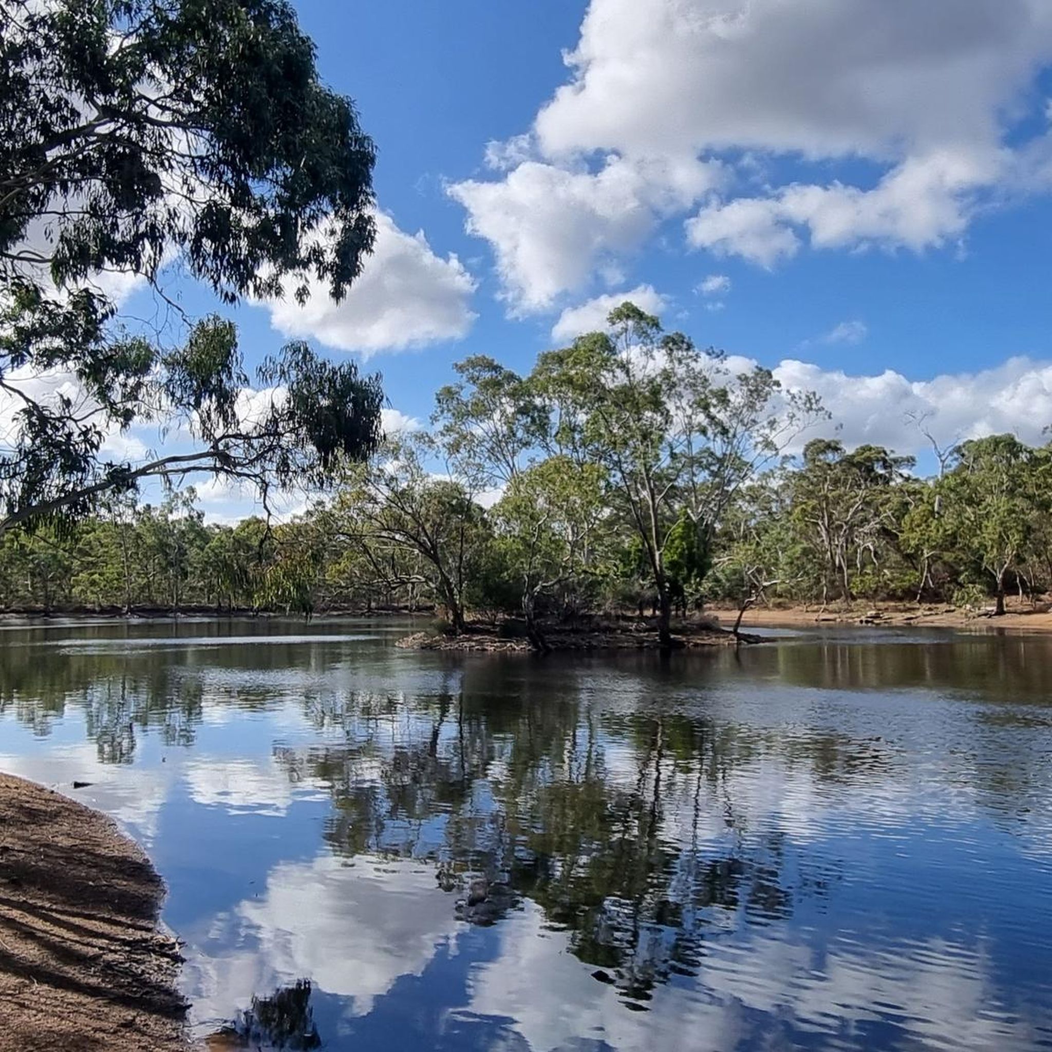
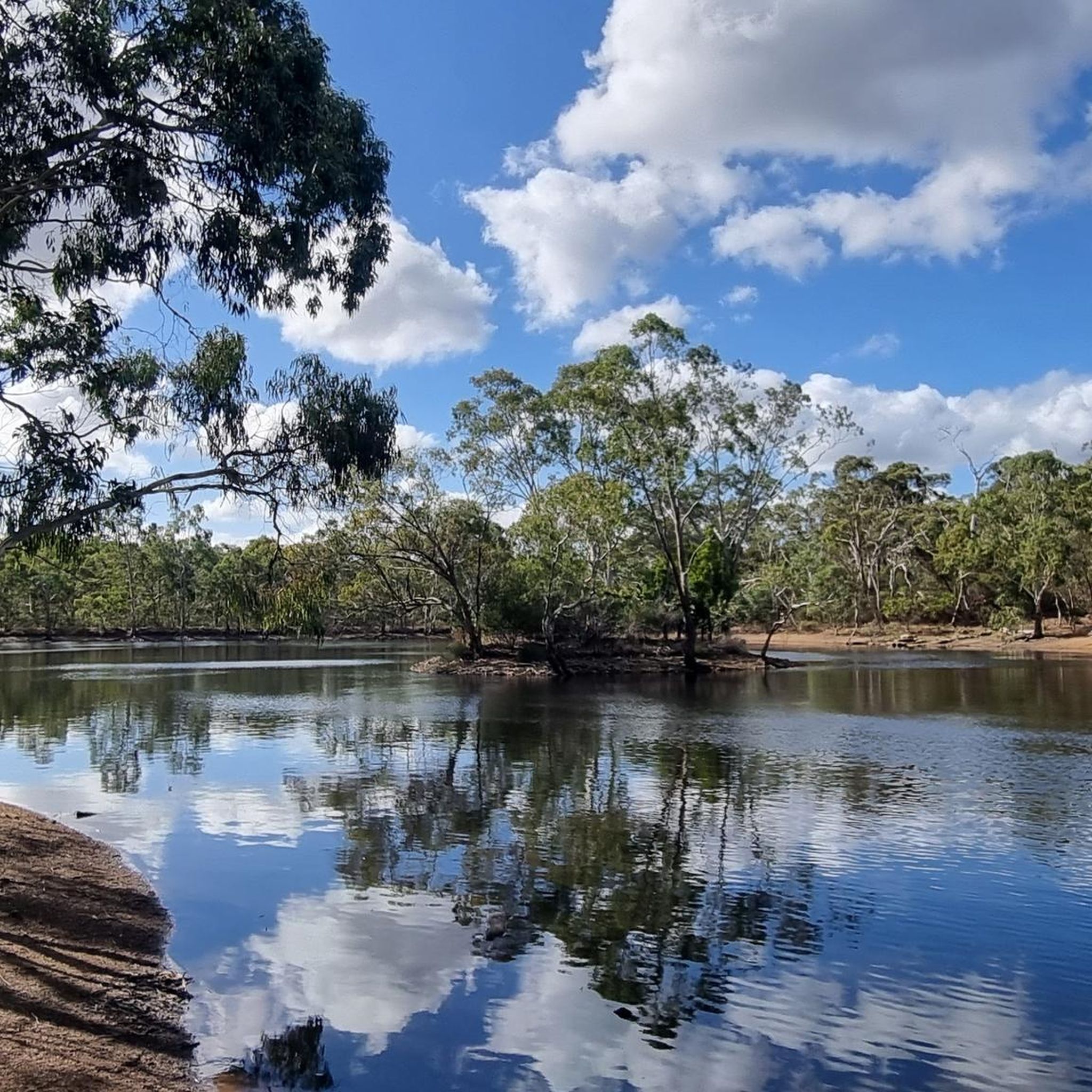
River Torrens (Karrawirra Pari) is Adelaide’s central river, flowing about 85 kilometres from the Adelaide Hills through the city centre and west to the sea at Henley Beach. Lined by parks, wetlands, and walking trails through much of metropolitan Adelaide, the river supports birdlife, recreation, and important green spaces while also holding deep cultural significance for the Kaurna people, who know it as Karrawirra Pari, meaning “red gum forest river.” Along its course, the river varies from narrow, tree-lined sections and wetlands to more expansive stretches, including the well-known waters of Torrens Lake in central Adelaide.
0
0
Torrens Linear Parkway is a long, 35-kilometre shared walking and cycling route that follows the River Torrens (Karrawirra Pari) through Adelaide, connecting parklands, wetlands, and riverside reserves from the hills to the coast. This section is an easy walk through Adelaide’s eastern suburbs along the peaceful riverside corridor under river red gums and through pockets of wetland vegetation. Along the way, you’ll pass open parklands and quiet stretches of water before reaching Lochiel Park, an environmentally focused reserve with wetlands, picnic areas, and additional walking loops for plenty of options to extend your walk.
0
0

Frequently Asked Questions
What kind of terrain can I expect when mountain biking in Mount Gawler Forest Reserve?
Mount Gawler Forest Reserve offers a diverse bushland environment typical of the Adelaide Hills. You'll encounter steep ridges, rocky gullies, and native woodland. The geology includes ancient Archaean gneisses and schists, contributing to varied soil landscapes. Trails feature challenging climbs and descents, catering to different skill levels.
Are there trails suitable for beginners or families in Mount Gawler Forest Reserve?
While many trails offer challenging climbs and descents, the reserve does cater to a range of skill levels. For a moderately challenging ride, consider the Braeburn Pond – Farm Equipment Ruins loop from Golden Grove, which offers varied terrain. It's always recommended to check individual trail descriptions for difficulty ratings before heading out.
What are some notable natural features or viewpoints to look out for along the trails?
The reserve is known for its native woodland and, in spring, beautiful wildflowers including various native orchids and lilies. You might also find a seasonal dry creek bed after rainfall. For views, elevated points offer vistas across the Adelaide Plains to the distant coastline on clear days, with "Devil's Nose Viewpoint" providing open panoramas of the surrounding hills.
Are there any historical landmarks or attractions within the reserve?
Yes, beyond the trails, you can explore the Newman's Nursery Ruins, which are remnants of a historic plant nursery established in the late 1800s. These ruins offer a glimpse into the area's past.
What is the best time of year to go mountain biking in Mount Gawler Forest Reserve?
The reserve is enjoyable year-round, but spring is particularly beautiful with wildflowers in bloom. After rainfall, the seasonal dry creek bed flows, adding to the natural diversity. Always check local conditions, especially after heavy rain, as some trails might be affected.
Can I bring my dog on the mountain bike trails in Mount Gawler Forest Reserve?
The region research indicates that Mount Gawler Forest Reserve is a protected area. For specific regulations regarding dogs on trails, it's best to consult the official Parks SA website: parks.sa.gov.au.
Are there any loop trails available for mountain biking?
Yes, Mount Gawler Forest Reserve offers several loop trails. For example, the Forestry sa loop from Chain Of Ponds is a difficult 7.8 km loop, and the Modbury Dam – Hope Valley Reservoir Reserve loop from City of Tea Tree Gully is a moderate 44.8 km option.
What do other mountain bikers enjoy most about Mount Gawler Forest Reserve?
The komoot community highly rates the varied terrain and challenging nature of the trails, with an average score of 3.0 stars. Riders often praise the diverse network that caters to different skill levels, from flow trails to challenging climbs and descents within the bushland environment.
Are there any advanced or difficult mountain bike trails in the reserve?
Yes, the reserve features challenging terrain suitable for experienced riders. The Forestry sa loop from Chain Of Ponds is rated as difficult. Other trails like "Dead Man's Climb" are known for significant elevation gain, and dedicated downhill tracks are accessible from the top carpark at Mount Gawler Road and Airstrip Road.
Where can I find parking for mountain biking in Mount Gawler Forest Reserve?
The region research mentions trailheads for dedicated downhill tracks are accessible from the top carpark at Mount Gawler Road and Airstrip Road. These are good starting points for parking within the reserve.
Are there any permits required for mountain biking in Mount Gawler Forest Reserve?
For information on any specific permit requirements for mountain biking in Mount Gawler Forest Reserve, it is best to check the official Parks SA website: parks.sa.gov.au.
What is the longest mountain bike trail in the area?
Among the listed routes, the Modbury Dam – Hope Valley Reservoir Reserve loop from City of Tea Tree Gully is the longest, covering 44.8 km. The "Purrumpa Trail" is also noted in the region research as the longest in the reserve, offering significant elevation gain and descent.
Most popular routes in Mount Gawler Forest Reserve

Get inspired with the komoot mobile app


Explore more
Browse the best MTB trails in other regions.
