The best walks and hikes in Onkaparinga River Recreation Park
4.6
(30)
309
hikers
12
hikes
Hiking in Onkaparinga River Recreation Park, located south of Adelaide, South Australia, offers diverse landscapes for outdoor activities. The park features a contrast between serene wetland and floodplain environments and the rugged Onkaparinga River Gorge. Hikers can explore native woodlands, open grasslands, and riparian vegetation along the river corridor, which is often lined with red river gums. The estuary environment provides unique channels and diverse plant life.
Best hiking trails in Onkaparinga River Recreation Park
- The most popular hiking route…
Last updated: November 10, 2026
2.01km
00:31
10m
10m
Easy hike. Easily walkable paths.
5
hikers
3.20km
00:49
10m
10m
Easy hike. Easily walkable paths.

33
hikers
4.51km
01:11
30m
30m
Easy hike. Easily walkable paths.
4.7
(3)
45
hikers
6.06km
01:41
110m
110m
Easy hike. Easily walkable paths.
1
hikers
4.99km
01:31
160m
160m
Easy hike. Easily walkable paths.
Get access to more routes and recommendations from other explorers.
Already have an account?
Our route recommendations are based on thousands of hikes, rides, and runs completed by other people on komoot.
Start today with a free account
Your next adventure awaits.

Tips from the Community

Port Noarlunga Jetty stretches out over the water to the reef, and from the end, you can look down on one of South Australia’s well-known dive sites. The reef is home to a variety of fish, sea stars, sponges, and other marine life, making it a popular destination for snorkelling and diving to follow the Aquatic Trail. The 800-metre underwater route includes 12 plaques describing the reef’s plants and marine life. Even from the jetty, you can look across the clear shallows towards the reef and watch the waves breaking along its outer edge.
0
0
Witton Bluff Base Trail follows along the foot of the cliffs between Christies Beach and Port Noarlunga, and is a wide, accessible path shared by walkers and cyclists. A boardwalk carries the trail along part of the shore, with a rock seawall below protecting the cliffs from erosion and rising seas. Along the way, look out for the Tjilbruke Dreaming Track Message Sticks by Senior Kaurna Man Karl Winda Telfer, which mark the trail’s place on the Tjilbruke songline.
0
0
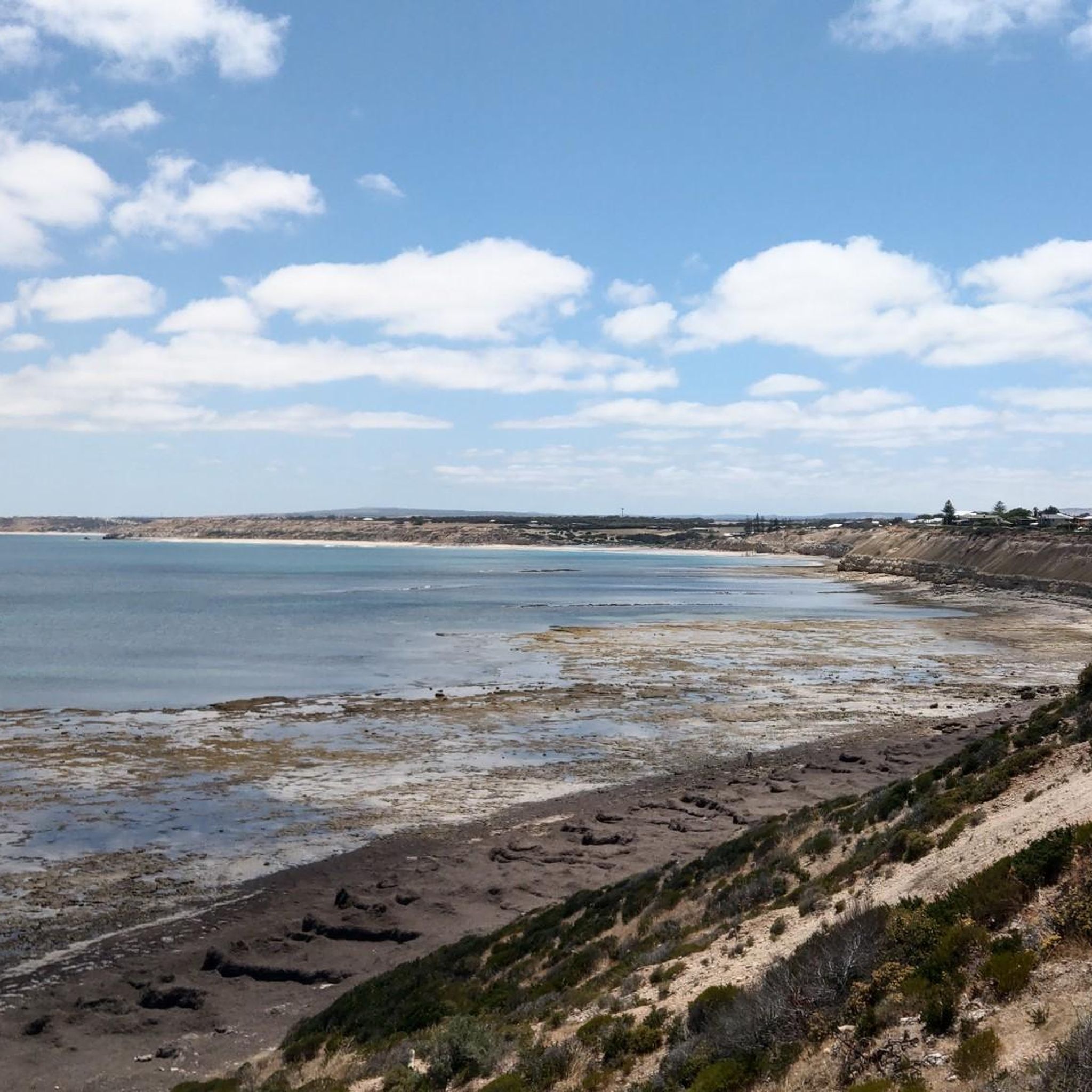
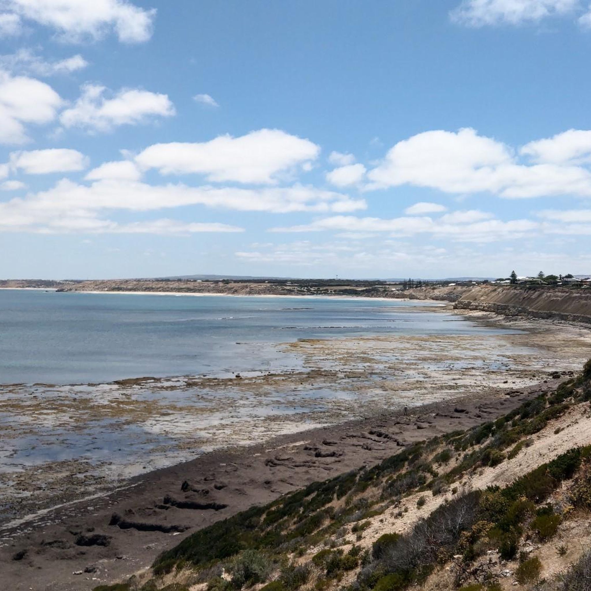
Christies Beach stretches along Gulf St Vincent on Kaurna Country, where Kaurna People once camped here in the warmer months in shelters called wodli. Today, a long esplanade runs behind the sand, with shelters, barbecues, and stairs leading down to the beach. At low tide, Horseshoe Reef appears offshore, and Witton Bluff rises at the southern end, offering beautiful views over the entire beach.
0
0

This lookout is a great spot to pause and the in the views of the river gorge and stretching out over McLaren Vale. There is a picnic area here as well, so you can pause for a snack while you enjoy the view.
0
0
This link trail is a windy, dirt singletrack that looks over the Onkaparinga Gorge. Eventually, the trail leads down to the Punchbowl Lookout over the Okaparinga River. It also connects to a couple other trails, allowing you to choose from several routes around the park.
0
0

The Noarlunga Downs Wetland Trail is the perfect track for experiencing wetland habitats teeming with life. This flat dirt track is not very long and is surrounded with aquatic plants and grassland, where you will hear birds chirping, water of the river flowing and maybe even the faint sounds of the rail line passing in the distance. Enjoy this track during low tide and during a non-rainy day.
0
0
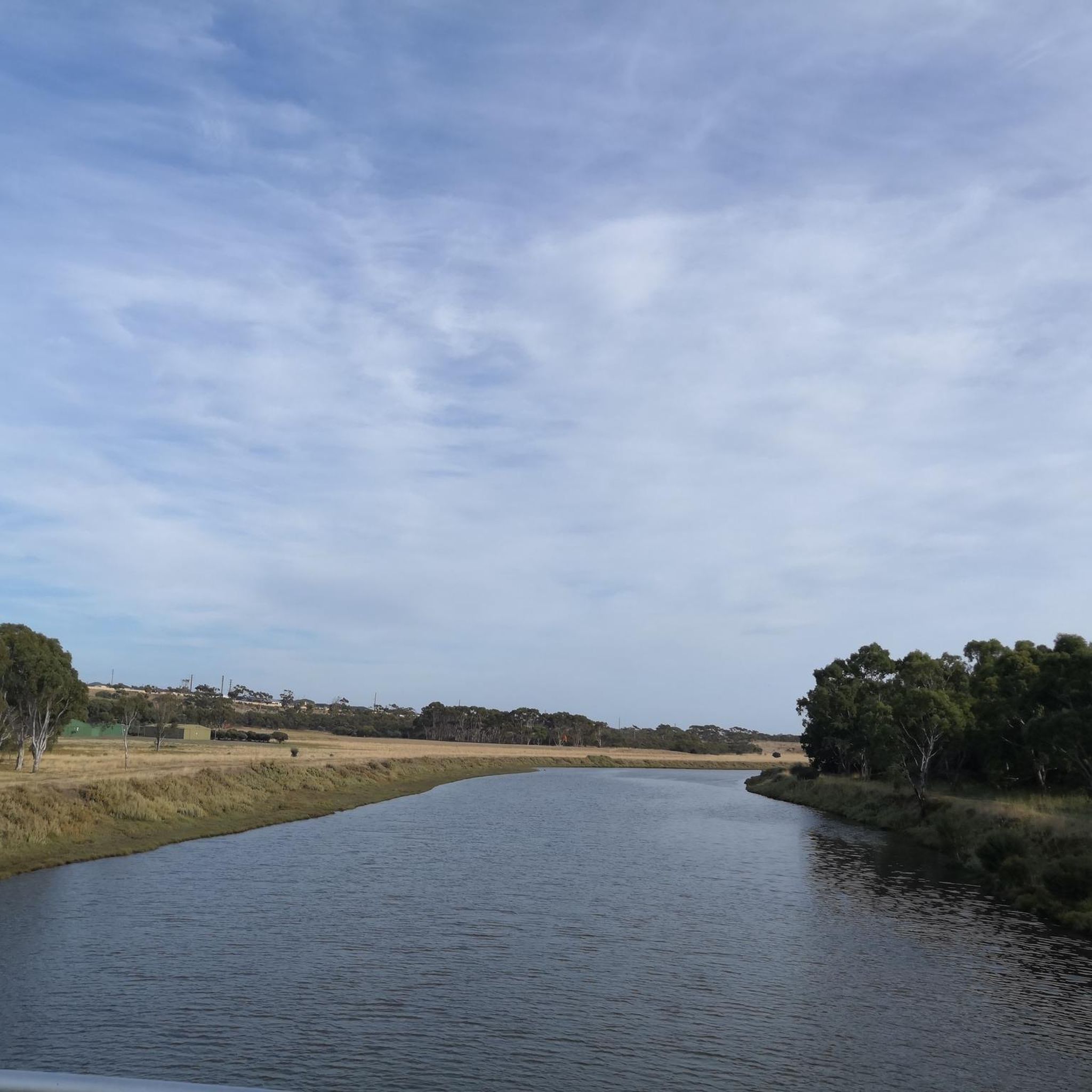
The Onkaparinga River flows through southern Adelaide and is popular with kayaking, fishing, and bushwalking on riverside tracks. The river valley has lush plants and marshlands here, and on the rest of its 88-kilometre course it flows through sandy shorelines and rocky canyons. It eventually terminates in Port Noarlunga.
0
0
A.S. Perry Reserve is a patchwork of marshland, native bushland, and open grassy areas along the banks of the Onkaparinga River. The reserve has restrooms, a playground, and picnic areas near its parking lot, but venture out on the bushwalking tracks to see the natural beauty of the area.
0
0
Frequently Asked Questions
How many hiking trails are available in Onkaparinga River Recreation Park?
There are over 10 hiking routes recorded in Onkaparinga River Recreation Park on komoot, offering diverse experiences from easy strolls to more moderate treks. These trails are highly rated by the komoot community, with an average score of 4.75 stars.
Are there family-friendly hiking options in Onkaparinga River Recreation Park?
Yes, the park offers several family-friendly options. The Wetlands Loop Trail is particularly suitable, being a flat, 5 km path with boardwalks, making it pram-friendly and ideal for children. It's also a great spot for birdwatching and seeing kangaroos.
Are dogs allowed on the hiking trails in Onkaparinga River Recreation Park?
Yes, dogs are permitted in Onkaparinga River Recreation Park, but they must be kept on a lead at all times. The Wetlands Loop Trail is specifically mentioned as dog-friendly.
What natural features or viewpoints can I expect to see while hiking?
The park offers a striking contrast of landscapes. You can explore serene wetland and floodplain environments, crucial for wildlife, and also access the rugged beauty of the Onkaparinga River Gorge. Notable viewpoints include those overlooking the gorge, and the spectacular Punchbowl rock pool, surrounded by rugged cliffs.
What kind of wildlife might I encounter during my hike?
Onkaparinga River Recreation Park is rich in wildlife. Hikers often spot western grey kangaroos, common brushtail possums, and echidnas. It's also a birdwatcher's paradise, with over 150 bird species, including pelicans, peregrine falcons, and yellow-tailed black cockatoos, especially around the wetlands.
Are there any historical sites to explore along the trails?
Yes, the park holds remnants of early European agricultural settlements. For example, the Pingle Farm loop from Port Noarlunga passes by the ruins of a historic farmhouse, offering a glimpse into the region's past. You can also find heritage-listed huts from the 1800s along various walking trails.
When is the best time of year to go hiking in Onkaparinga River Recreation Park?
The park is enjoyable year-round, but spring (September to November) and autumn (March to May) offer pleasant temperatures for hiking. After rain, the wetlands are often full, attracting abundant birdlife, making it an excellent time for birdwatching.
Are there any circular hiking routes available?
Yes, many trails in the park are designed as loops. Examples include the Pingle Farm loop from Port Noarlunga, the Punchbowl Waterhole loop from Onkaparinga River National Park, and the longer Sundew Lookout – Punchbowl Waterhole loop.
Where can I park when visiting Onkaparinga River Recreation Park?
The Perry's Bend Picnic Area is a convenient starting point for many activities and offers parking facilities. It also provides amenities like BBQs, shaded picnic tables, and toilets.
How can I reach Onkaparinga River Recreation Park using public transport?
While direct public transport to all trailheads might be limited, the park is approximately 32 kilometers south of Adelaide. It's advisable to check local bus services that may connect to nearby towns like Noarlunga Downs, from which some park entrances might be accessible. For detailed public transport information, it's best to consult the South Australian public transport website.
Do I need a permit to hike in Onkaparinga River Recreation Park?
Generally, permits are not required for day hiking in Onkaparinga River Recreation Park. However, for specific activities or larger groups, it's always recommended to check the official Parks SA website for the most current regulations: parks.sa.gov.au.
What do other hikers enjoy the most about hiking in Onkaparinga River Recreation Park?
The area is highly rated by the komoot community, with an average score of 4.75 stars. Reviewers often praise the diverse landscapes, from the tranquil wetlands to the dramatic gorge scenery, and the abundance of wildlife. The well-maintained trails and options for various fitness levels are also frequently highlighted.
Most popular routes in Onkaparinga River Recreation Park

Get inspired with the komoot mobile app


Explore more
Browse the best Hikes in other regions.
