The best running trails in Scott Creek Conservation Park
5.0
(3)
632
runners
48
runs
Jogging in Scott Creek Conservation Park offers a diverse range of running experiences within a protected natural environment. The park features native bushland, rolling hills, and valleys carved by creeks, providing varied terrain for runners. Trails often traverse through eucalyptus forests and open clearings, with some routes including significant elevation changes. This landscape provides both challenging ascents and more gentle paths suitable for different fitness levels.
Best jogging routes in Scott Creek Conservation Park
- The most popular jogging route is…
Last updated: July 4, 2026
4
runners
Moderate run. Good fitness required. Mostly paved surfaces. Suitable for all skill levels.
6
runners
30.9km
03:42
610m
610m
Hard run. Very good fitness required. Mostly paved surfaces. Suitable for all skill levels.

Sign up for free
3
runners
6.47km
00:42
130m
130m
Moderate run. Good fitness required. Mostly paved surfaces. Suitable for all skill levels.
18
runners
12.9km
01:30
240m
240m
Moderate run. Good fitness required. Mostly paved surfaces. Suitable for all skill levels.
14
runners
40.4km
04:58
1,050m
1,050m
Hard run. Very good fitness required. Sure-footedness, sturdy shoes and alpine experience required.
Get access to more routes and recommendations from other explorers.
Sign up for free
Already have an account?
Our route recommendations are based on thousands of hikes, rides, and runs completed by other people on komoot.
Start today with a free account
Your next adventure awaits.
Login or Signup
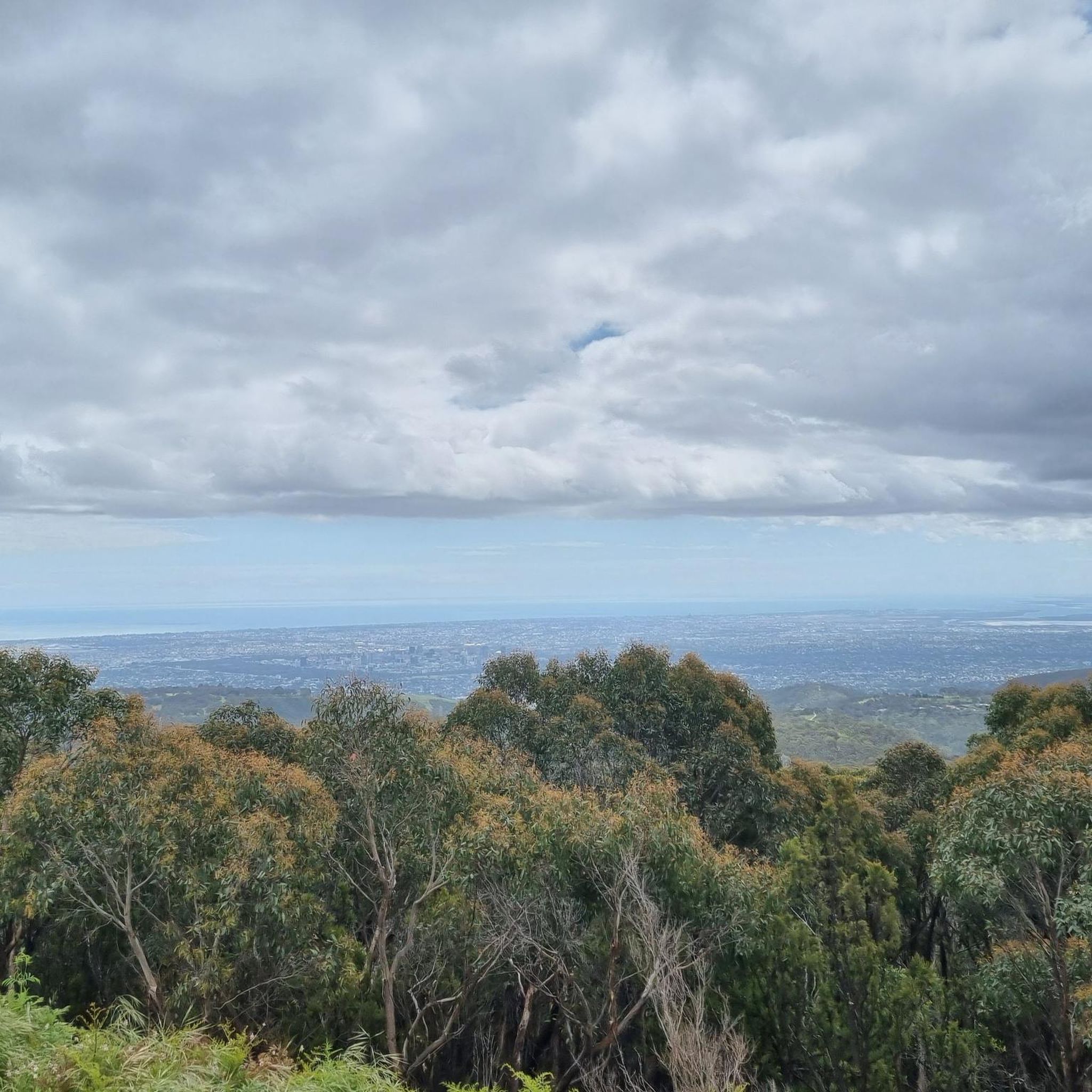


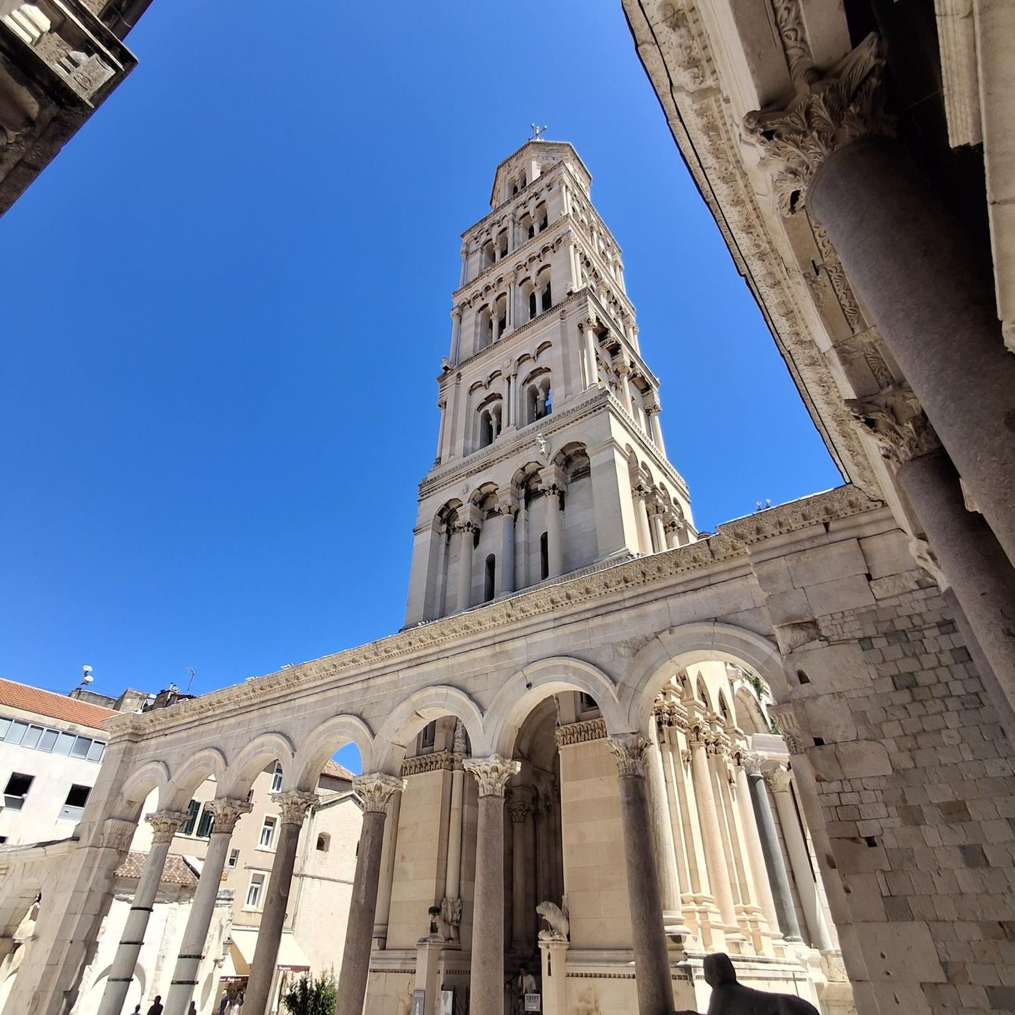

Tips from the Community

Brownhill Creek Road follows the heart of the valley through towering River Red Gums, historic picnic grounds, and some of the oldest recreation areas in the Adelaide foothills. Along the road you’ll pass the huge hollow “Monarch of the Glen” gum tree, old quarry sites, and sections of creek that were once dammed for public swimming in the late 1800s. The road stays close to the creek for much of the valley, with walking trails, wildlife, and shaded picnic spots scattered throughout the reserve.
0
0

This well-marked walking track is part of the 6.5-kilometre Waterfall Hike circuit, looping through native bushland and past the park’s seasonal cascades. The route includes a short trek through Echo Tunnel under the railway line, and winds along rocky escarpments to lookouts overlooking both the Upper and Lower waterfalls, which flow strongest after heavy rainfall. The track features some steep and uneven sections, shared fire-trail connections popular with cyclists, and scenic forest and wildlife views, making it a fulfilling but moderately challenging bushwalk.
0
0
Upper Waterfall is a seasonal cascade that typically flows after significant rainfall, spilling over rocky ledges surrounded by stringybark forest and native undergrowth. There is plenty of shade here, making this a great spot for a scenic break, especially after rain when the water is running.
0
0

Scenic. Very nice lookout point with easy walking access. Water is very seasonal.
1
0
Frequently Asked Questions
How many running routes are available in Scott Creek Conservation Park?
Scott Creek Conservation Park offers a wide selection of running routes, with over 50 different trails to explore. These range from easy paths to more challenging runs, catering to various fitness levels.
Are there easy running routes suitable for beginners in Scott Creek Conservation Park?
Yes, the park features several easy running routes perfect for beginners or those looking for a more relaxed pace. There are 3 easy routes available, offering gentle terrain through the park's natural beauty.
Where can I find challenging running routes in Scott Creek Conservation Park?
For experienced runners seeking a challenge, Scott Creek Conservation Park has 12 difficult routes. One notable option is the Jupiter Creek Diggings loop from Unnamed (No.HA1217) Heritage Agreement, which is a demanding 19.2-mile (30.9 km) path with significant elevation changes, exploring historical areas.
What is the typical length of running trails in Scott Creek Conservation Park?
Running trails in Scott Creek Conservation Park vary significantly in length. You can find shorter loops like the Running loop from Heathfield at 4.0 miles (6.5 km), up to much longer and more challenging routes such as the Brownhill Creek Trail – View of Adelaide loop from Belair National Park, which spans over 23 miles (38 km).
Are there family-friendly running trails in Scott Creek Conservation Park?
While specific 'family-friendly' designations aren't always explicit, many of the park's easy and moderate routes are suitable for families who enjoy running together. Look for shorter, less strenuous loops that offer a pleasant experience for all ages.
Are dogs allowed on the running routes in Scott Creek Conservation Park?
Dogs are generally permitted in Scott Creek Conservation Park, but they must be kept on a leash at all times to protect the native wildlife and ensure the safety of other park users. Always check park signage for any specific restrictions on certain trails.
When is the best time of year to go running in Scott Creek Conservation Park?
The cooler months of autumn and spring are often considered ideal for running in Scott Creek Conservation Park, offering pleasant temperatures and vibrant scenery. Winter can also be beautiful, though trails may be muddy after rain. Summer mornings are best to avoid the heat.
Is there parking available for runners in Scott Creek Conservation Park?
Yes, Scott Creek Conservation Park provides various designated parking areas at different trailheads and access points. These are typically well-marked and offer convenient starting points for your run.
Can I reach Scott Creek Conservation Park by public transport for a run?
Public transport options to Scott Creek Conservation Park are limited. While some bus routes may pass near the park's periphery, direct access to trailheads often requires a car. It's advisable to check local public transport schedules for the most up-to-date information.
What do other runners enjoy most about jogging in Scott Creek Conservation Park?
The running routes in Scott Creek Conservation Park are highly rated by the komoot community, with an average score of 5.0 stars from 4 reviews. Runners frequently praise the park's diverse native bushland, the peaceful atmosphere, and the varied terrain that keeps runs interesting.
Are there any circular running routes in Scott Creek Conservation Park?
Yes, many of the running routes in Scott Creek Conservation Park are designed as loops, allowing you to start and finish at the same point. An example is the Scott Creek Conservation Park – Mackereth Cottage loop from Scott Creek Conservation Park, a moderate 7.5-mile (12.0 km) trail.
What kind of wildlife might I encounter while running in Scott Creek Conservation Park?
Scott Creek Conservation Park is home to diverse native wildlife. Runners might spot kangaroos, koalas, echidnas, and a variety of bird species, including rosellas and kookaburras. Maintaining a respectful distance and staying on marked trails helps protect these animals.
Most popular routes in Scott Creek Conservation Park

Get inspired with the komoot mobile app


Explore more
Browse the best Running Trails & Routes in other regions.
