The best road cycling routes in Neville Lawrie Reserve
5.0
(32)
294
riders
11
rides
Road cycling in Neville Lawrie Reserve offers a range of routes through diverse landscapes. The region features riverine areas, coastal wetlands, and sections of forest bikeways, providing varied terrain for road cyclists. While specific high peaks are absent, routes include gentle gradients and some moderate climbs. The area's natural features contribute to a varied road cycling experience.
Best road cycling routes in Neville Lawrie Reserve
- The most popular road cycling route is Roadbike loop from Springwood, a 17.8 miles…
Last updated: July 2, 2026
8
riders
28.2km
01:25
350m
350m
Moderate road ride. Good fitness required. Mostly well-paved surfaces and easy to ride.
30
riders
Moderate road ride. Good fitness required. Mostly well-paved surfaces and easy to ride.

Sign up for free
7
riders
25.9km
01:14
200m
200m
Easy road ride. Great for any fitness level. Mostly well-paved surfaces and easy to ride.
5.0
(1)
30
riders
192km
08:56
850m
850m
Hard road ride. Very good fitness required. Some segments of this route may be unpaved and difficult to ride.
24
riders
Easy road ride. Great for any fitness level. Mostly well-paved surfaces and easy to ride.
Get access to more routes and recommendations from other explorers.
Sign up for free
Already have an account?
Our route recommendations are based on thousands of hikes, rides, and runs completed by other people on komoot.
Start today with a free account
Your next adventure awaits.
Login or Signup
Popular around Neville Lawrie Reserve
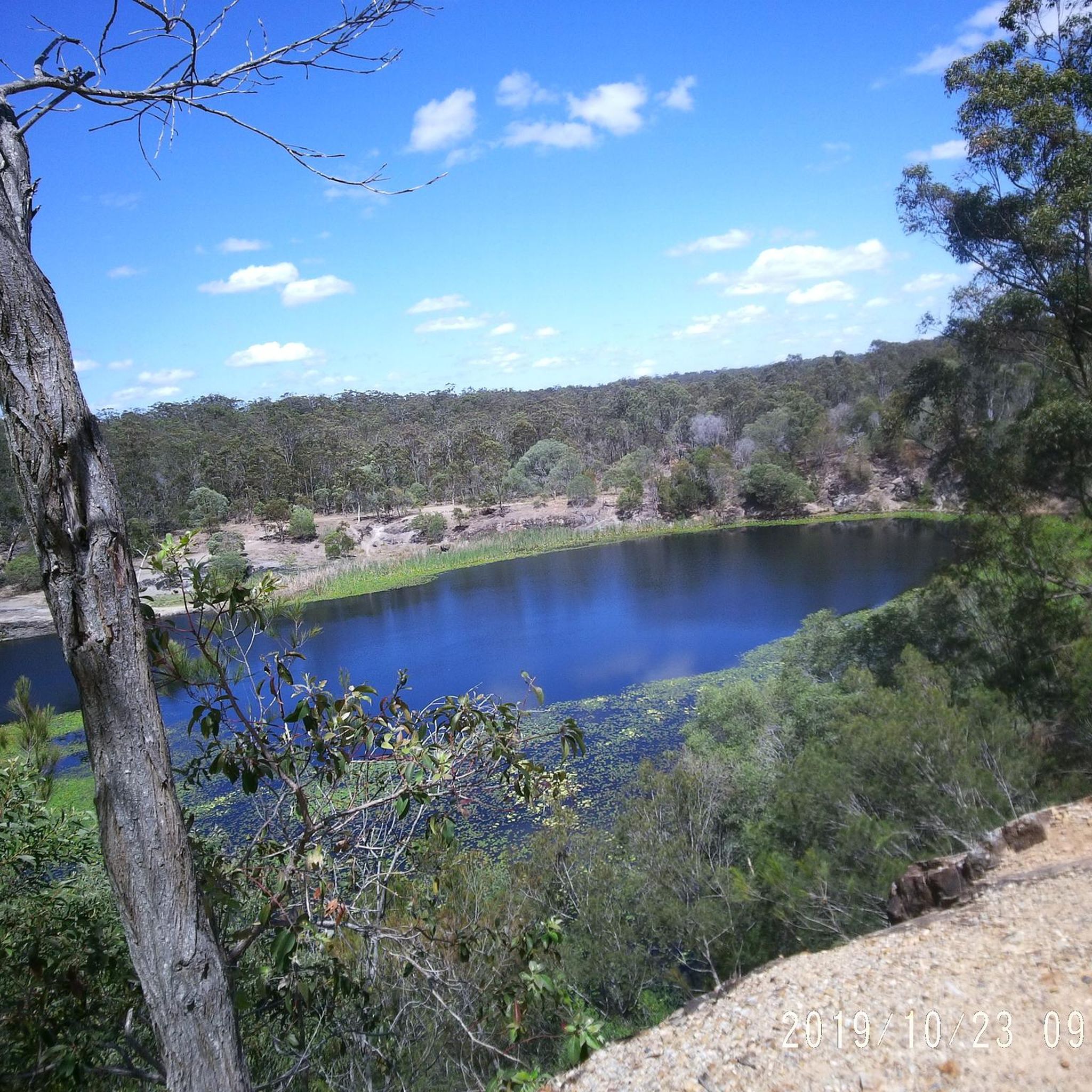
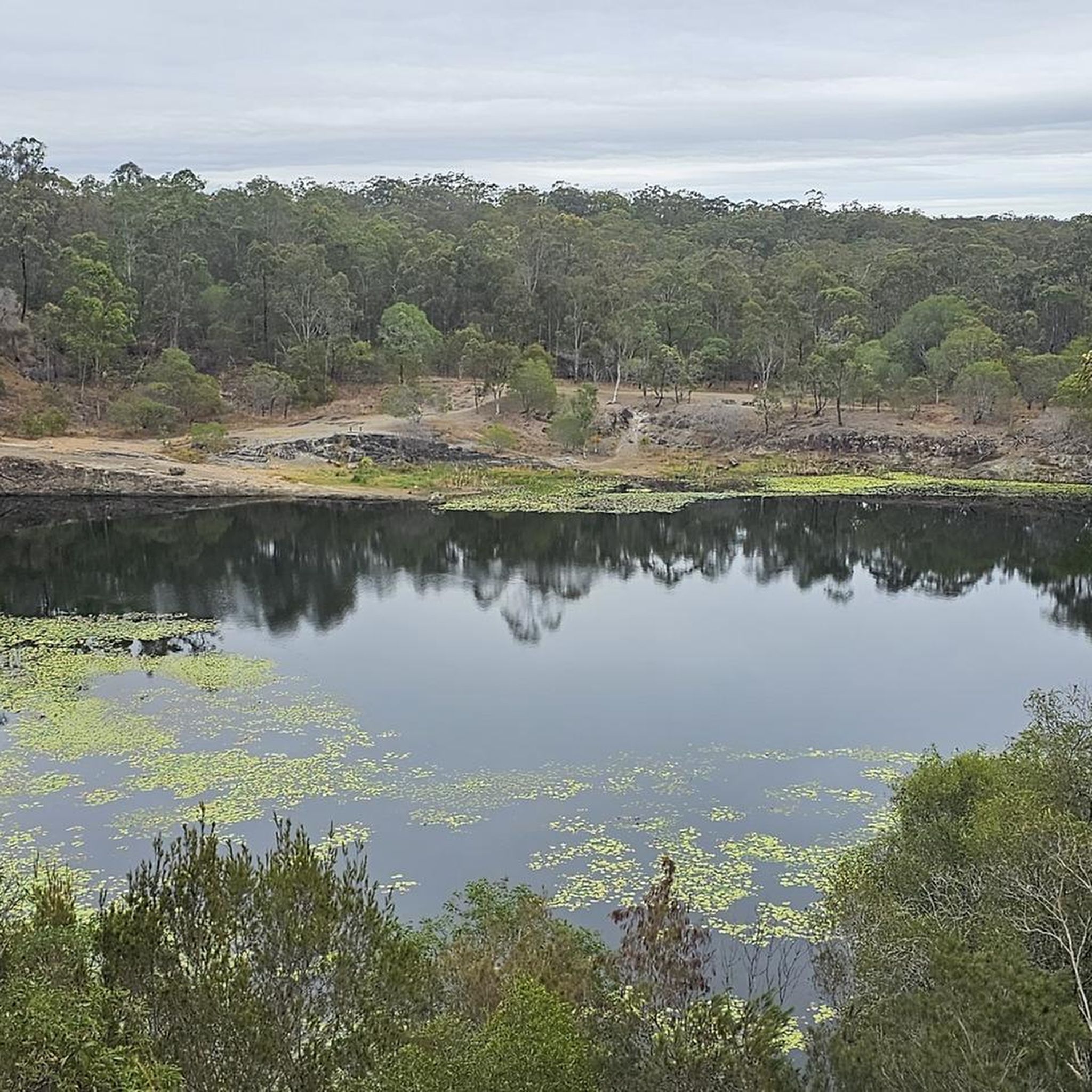
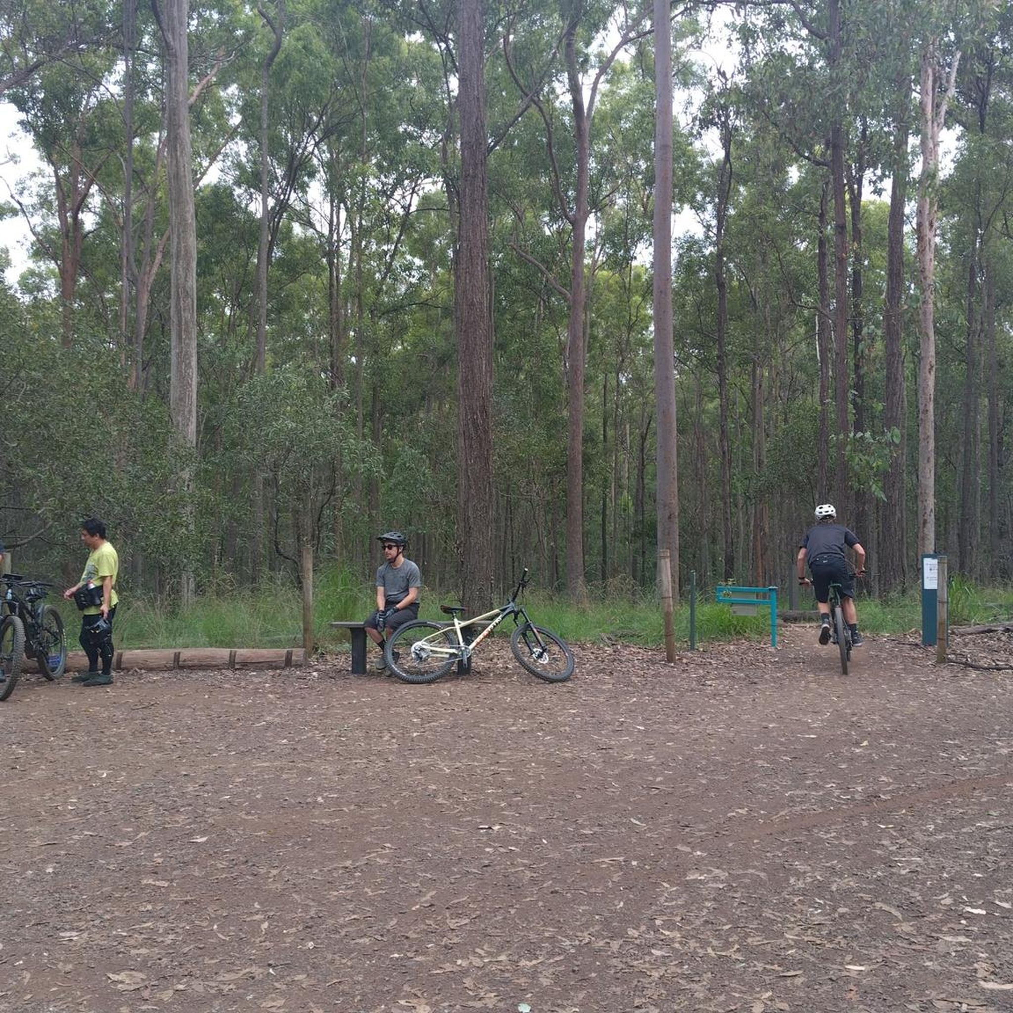
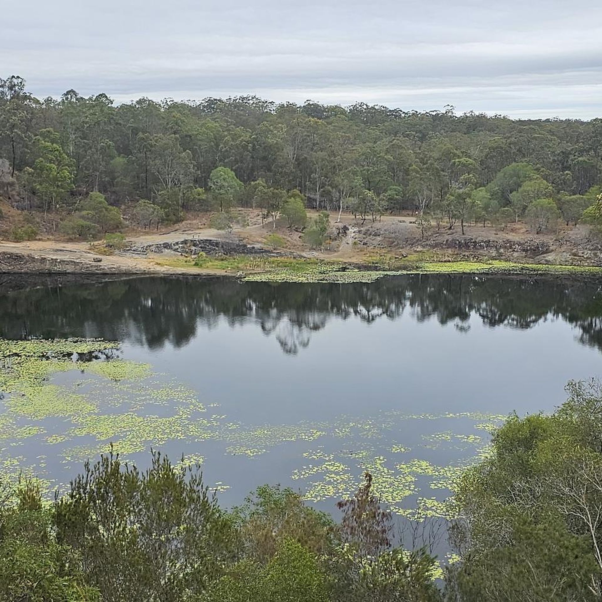
Tips from the Community

A unique area of biodiversity in an internationally recognised Ramsar Wetland.
0
0

Orana Esplanade Park is part of a continuous coastal corridor connecting Point Halloran with other foreshore reserves, sitting directly between mangrove-lined habitats along Moreton Bay. The park runs right along the sealed walking and cycling path on the boundary of the Moreton Bay Marine Park, with several access points to small sandy sections of shoreline and launch spots for small boats at higher tide. This stretch is especially known for its intertidal mudflats and birdlife, especially around Point Halloran, making it an ideal place to immerse yourself in nature and take in the scenery.
0
0
Les Moore Park is a small foreshore reserve along the edge of Moreton Bay, with grassy open space and direct access to the shoreline. The park sits right along the coastal path and looks out over tidal flats and the calm bay waters, with mangroves and seabirds commonly seen along this quieter stretch of coast. There are picnic areas and several benches, making it a great place to stop along the waterfront, with a relaxed, local feel rather than a busy destination park.
0
0
Moreton Bay Cycleway is a long-distance coastal route that follows the shoreline of Moreton Bay, linking communities from the Redcliffe Peninsula through Brisbane’s bayside suburbs down to Redland Bay. Developed as a network of shared paths and on-road sections, it spans roughly 150 kilometres and connects beaches, wetlands, parks, and urban foreshore areas along the coast. Along this section, the path follows the foreshore past mangroves and tidal flats, with expansive views across the bay and is a lovely, quieter feel compared to the busier beachfront stretches.
0
0

Tugun Beach stretches along a quieter part of the southern Gold Coast, with a wide sandy shoreline and steady surf. At the northern end, Flat Rock Creek meets the ocean, with parkland and shaded areas just behind the beach. It’s patrolled near the surf club during peak periods, and facilities are well set up, including toilets, showers, picnic tables, and nearby cafés. Conditions can vary, so it’s worth swimming between the flags where lifeguards are present.
0
0
This stretch of the Gold Coast Oceanway follows the coastline from Point Danger to Currumbin Alley, linking some of the southern Gold Coast’s best beaches and viewpoints. The route is mostly level and easy to follow, running along paved oceanfront paths past Coolangatta, Rainbow Bay, Kirra, and Tugun. Along the way you’ll pass popular surf breaks, beachfront parks, and plenty of spots to stop for a swim or coffee. With constant views of the Pacific and regular sea breezes, it’s an enjoyable coastal walk where you can often spot surfers, dolphins, and migrating whales during the winter months.
0
0
The Gold Coast Oceanway is a paved coastal path that runs parallel to the beach, linking suburbs along the shoreline. This section near Surfers Paradise follows the edge of the sand, offering uninterrupted ocean views with the skyline rising behind you. The wide, sealed path is shared by walkers, runners and cyclists, so keep left and stay aware of faster traffic. Shade is limited along exposed stretches, making early morning or late afternoon a more comfortable time to walk.
0
0
Surfers Paradise Beach is a broad stretch of sand that faces directly onto the Coral Sea, with consistent surf and wide coastal views. The beach runs alongside the high-rise skyline, creating one of the Gold Coast’s most recognisable scenes. Swimming is safest between the red and yellow flags where lifeguards patrol. Conditions can change with swell and wind, and rips are present at times.
0
0
Frequently Asked Questions
What are the typical difficulty levels for road cycling routes in Neville Lawrie Reserve?
Neville Lawrie Reserve offers a diverse range of road cycling routes suitable for various skill levels. You'll find options for easy, moderate, and difficult ability levels, ensuring there's a route for every cyclist.
Are there road cycling routes suitable for beginners in Neville Lawrie Reserve?
Yes, there are several routes ideal for beginners. For example, the Logan River – Slacks Creek Environment Park loop from Loganlea is an easy 16.1-mile (25.9 km) trail that follows river paths and passes through a local environment park, perfect for those new to road cycling.
What kind of scenery can I expect while road cycling in Neville Lawrie Reserve?
The region is characterized by diverse landscapes, including riverine areas, coastal wetlands, and sections of forest bikeways. Routes like the View of the Coastal Wetlands loop from Karragarra Island offer stunning coastal views and island scenery, while others wind through natural parks and along rivers.
Are there any long-distance road cycling routes for experienced riders?
Yes, experienced riders looking for a challenge can explore longer routes. The Winding Forest Bikeway – V1 Bikeway Entrance loop from Kuraby is a difficult 123.6-mile (198.9 km) route, offering a significant distance and elevation gain for advanced cyclists.
What is the average length of road cycling routes in Neville Lawrie Reserve?
Route lengths vary significantly, from shorter loops around 16 miles (25 km) to extensive rides over 120 miles (190 km). This variety allows cyclists to choose routes that match their desired distance and time commitment.
Are there any circular road cycling routes available?
Many of the road cycling routes in Neville Lawrie Reserve are designed as loops, providing convenient starting and ending points. Examples include the Roadbike loop from Springwood and the Goodwill Bridge – Kurilpa Bridge loop from Kuraby.
What do other road cyclists say about their experience in Neville Lawrie Reserve?
The road cycling routes in Neville Lawrie Reserve are highly regarded by the komoot community, with an average score of 5.0 stars from over 30 reviews. Cyclists often praise the varied terrain, scenic views, and the well-maintained bikeways that make for an enjoyable ride.
When is the best time of year to go road cycling in Neville Lawrie Reserve?
Given the region's climate, road cycling is generally pleasant throughout much of the year. However, checking local weather forecasts is always recommended to ensure optimal conditions for your ride, especially during warmer months or potential rainy seasons.
Are there routes that pass through urban areas or connect to city centers?
Some routes, like the Goodwill Bridge – Kurilpa Bridge loop from Kuraby, incorporate sections that connect to urban areas and pass by notable landmarks, offering a blend of natural scenery and cityscapes.
How many road cycling routes are available in Neville Lawrie Reserve?
There are over 10 distinct road cycling routes documented in Neville Lawrie Reserve, offering a wide array of choices for cyclists of all levels.
Are there any routes that offer views of both riverine and coastal environments?
Yes, the diverse geography of Neville Lawrie Reserve means you can find routes that transition between different environments. Some paths follow riverine areas before opening up to views of coastal wetlands, providing a dynamic cycling experience.
Most popular routes in Neville Lawrie Reserve

Get inspired with the komoot mobile app


Explore more
Browse the best Road cycling routes in other regions.
